
Place · 0 mi away
Moderate
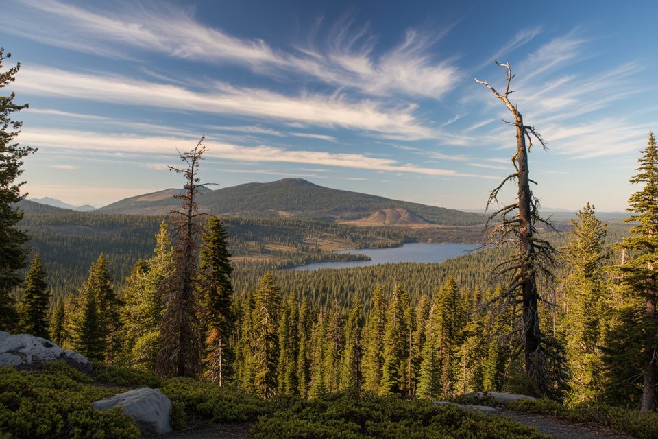
This is a quick-hit viewpoint hike with an outsized payoff. At roughly 1.4 miles total (out-and-back) and about 400 feet of elevation gain, Inspiration Point climbs from the north shore of Juniper Lake to a ridge with sweeping views. Expect a moderate effort with a few steeper pitches, not a casual lakeside stroll.
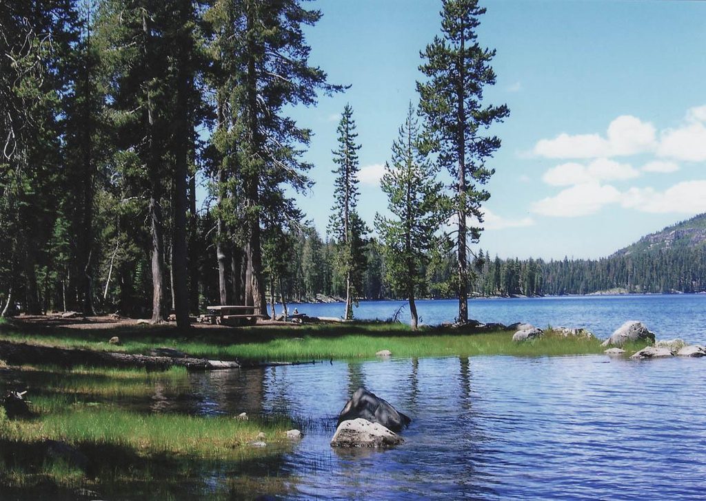
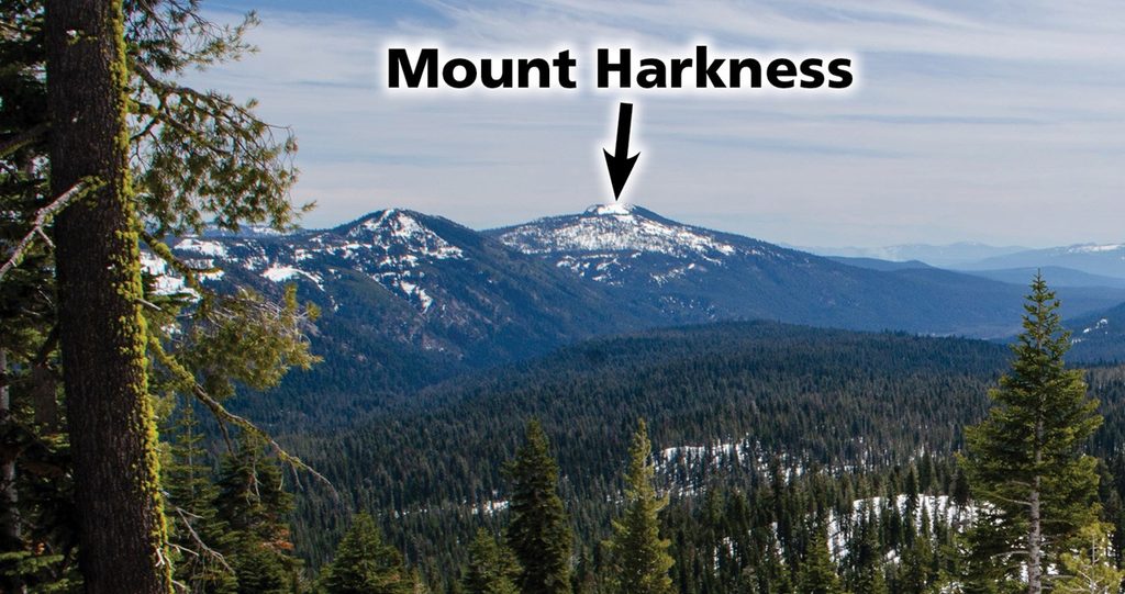
The first minutes are nearly level through lodgepole and white pine before the trail tilts uphill toward the ridge. Don’t stop at the first bump—continue another 5–10 minutes along the ridge for the best vantage. From the top, Juniper Lake, Crystal Cliffs, and Mount Harkness dominate the foreground. On clear days, your panorama stretches to Snag Lake, the Fantastic Lava Beds, Cinder Cone, Prospect Peak, Chaos Crags, Lassen Peak, and even distant Mount Shasta.
This view is a window into the southern Cascades’ volcanic story. Features like Cinder Cone and the adjacent Fantastic Lava Beds are among the park’s youngest landmarks, while Chaos Crags and Lassen Peak showcase the region’s varied eruptive history. It’s a lot of geologic time for a little trail.
Important: The Juniper Lake Road is currently closed to vehicles for Dixie Fire repairs. Pedestrian travel is permitted, but you can’t drive to the trailhead. When the road is open, the final miles are rough dirt with steep sections—unsuitable for low-clearance vehicles, buses, motorhomes, or trailers. The Juniper Lake area is remote with no services, water, or cell coverage; bring everything you need.
In normal years, the typical window is late June through mid-October, depending on snow and road status. Aim for a clear day to maximize long-distance views. Early or late in the day brings softer light and fewer people.
Already in the area on foot or bike? The nearby Crystal Lake Trail is another short, view-forward option; check current conditions before committing.
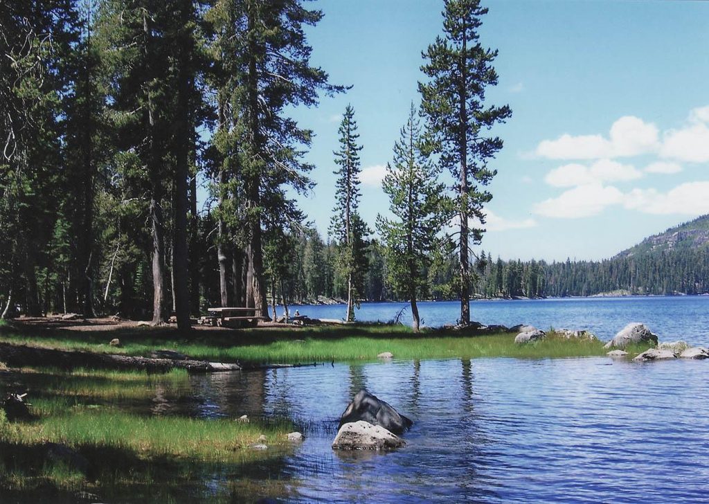
Juniper Lake Day Use Area at the north shore of Juniper Lake (when road is open). Currently, Juniper Lake Road is closed to vehicles; no services, water, or cell coverage.
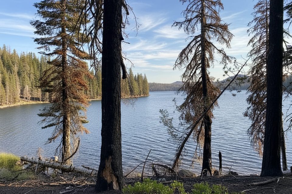
Vehicle access to the trailhead is closed for Dixie Fire repairs; burned areas contain standing dead trees that can fall without warning. When open, the access road is rough and not suitable for low-clearance vehicles. Seasonal snow lingers into early summer.
Place · 0 mi away
Place · 0.8 mi away
Place · 1.4 mi away
Place · 4.4 mi away
Challenging · 0 mi away
Easy · 0 mi away
Moderate · 0.1 mi away
Moderate · 1.2 mi away

Parkwolf Tour Guide
