
Place · 1 mi away
Moderate
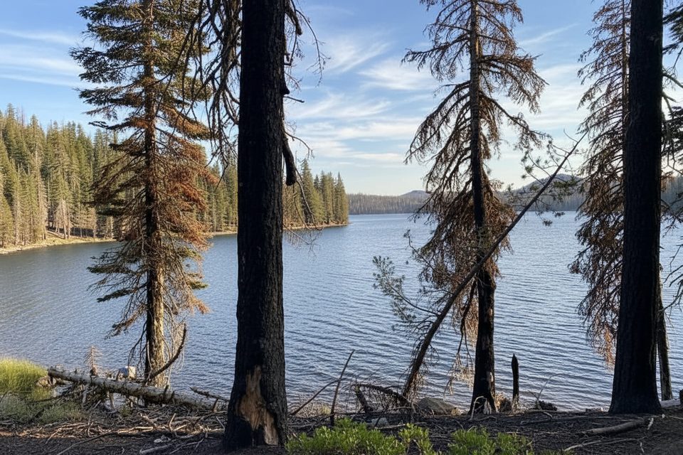
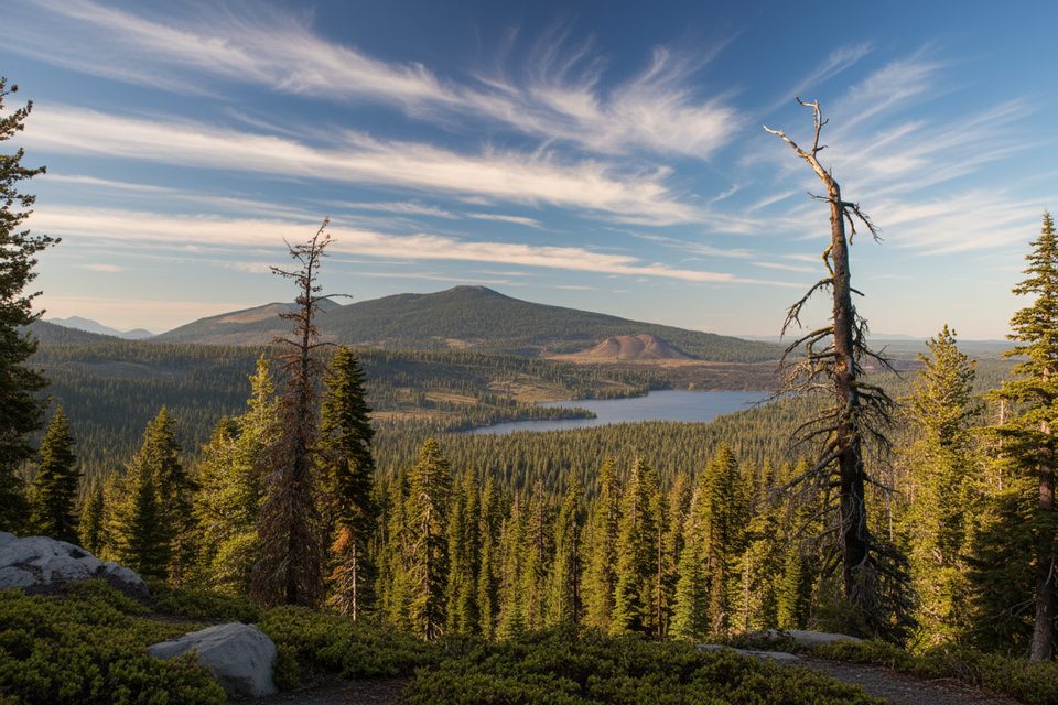
Looking for a mellow backcountry sampler with big-lake payoff? The Indian Lake Trail is most often hiked as part of a 6.4-mile total loop that links Horseshoe Lake, Indian Lake, and the shore of Juniper Lake. Expect a short initial climb, a descent to Horseshoe Lake, a brief spur to reach Indian Lake, and a scenic finish along Juniper Lake. It’s a moderate outing with about 1,010 feet of gain—enough to feel like you went somewhere, without being a sufferfest.
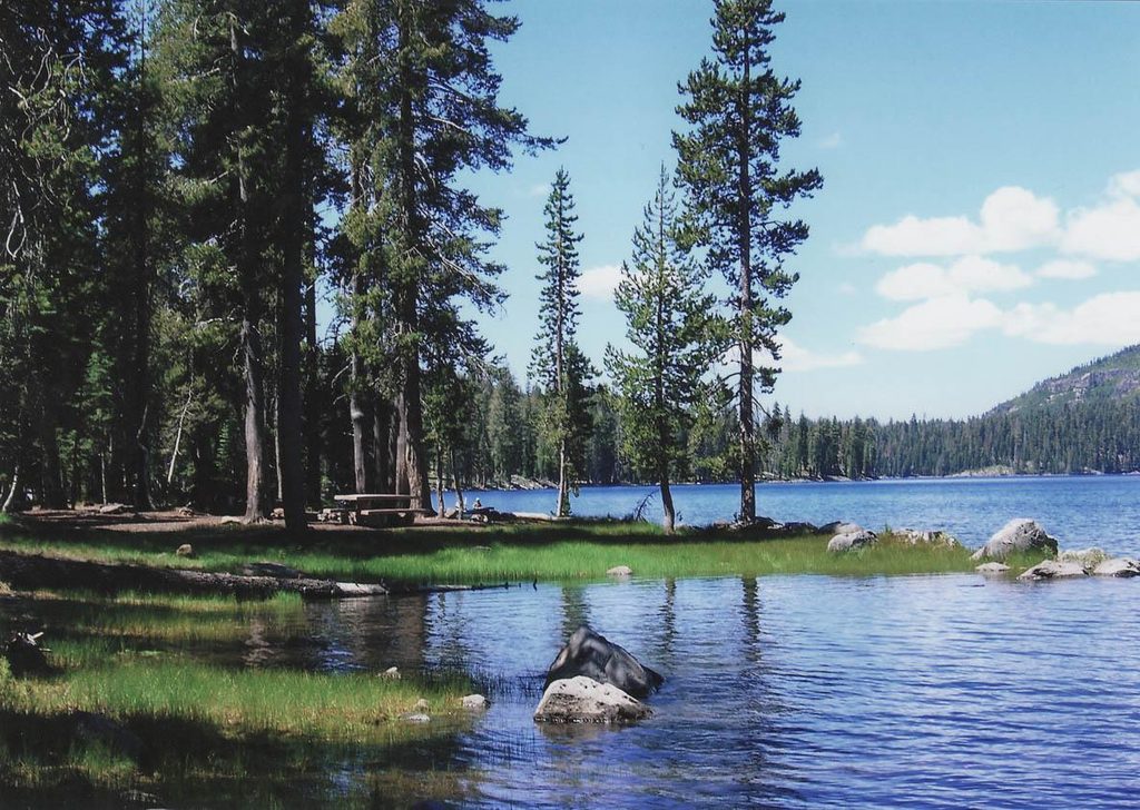
The draw here is water: multiple clear, blue lakes punctuating forested stretches and open shoreline. The route has a genuine backcountry feel while staying within a comfortable distance window. You’ll get some steeper pitches and thinner air as the trail hovers around mid-6,000-foot elevations, but the grades are manageable and broken up by lake stops.
Most hikers do the loop clockwise: climb briefly from the start, drop to Horseshoe Lake, take the short side path to Indian Lake, then continue south to wrap along Juniper Lake. If you only want a taste, the spur to Indian Lake is short and worthwhile before committing to the full circuit. Bring a real map and the ten essentials—parts of this route head into quieter terrain where it’s easy to get complacent.
The trail is accessed from the Juniper Lake area in the park’s southeast. The approach road can be bumpy for a few miles before improving inside the park; drive slowly and check conditions after storms or early season.
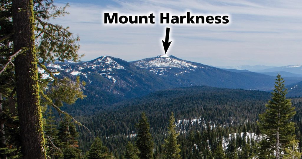
Plan for summer into early fall. Snow and mud can linger early season, and mosquitoes are common near the lakes in early–mid summer. Mornings typically bring calmer water and softer light along Juniper Lake, plus easier parking. Cell service is limited—download maps ahead of time. If you like paper backups, the park brochure map works, and USGS 1:24,000 quads (the Mount Harkness quad covers Juniper Lake) are available as offline PDFs.
Pets are not allowed on park trails or in the backcountry. Day hikers do not need a special permit.
Access from the Juniper Lake area in the park’s southeast; expect a rough approach road for a few miles before reaching the trailhead. Arrive early for easier parking.
Rough approach road; moderate climbs at mid-elevation with thinner air; snow/mud may linger early season; mosquitoes near lakes; limited cell service—carry offline maps and the ten essentials.
Place · 1 mi away
Place · 1.2 mi away
Place · 2.5 mi away
Place · 3.4 mi away
Easy · 0 mi away
Challenging · 1.2 mi away
Easy · 1.2 mi away
Moderate · 1.2 mi away

Parkwolf Tour Guide
