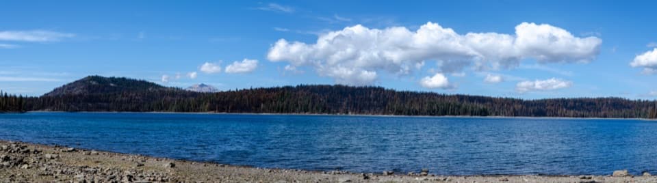
Juniper Lake in Lassen Volcanic National Park

Sight · Lassen Volcanic National Park

Juniper Lake

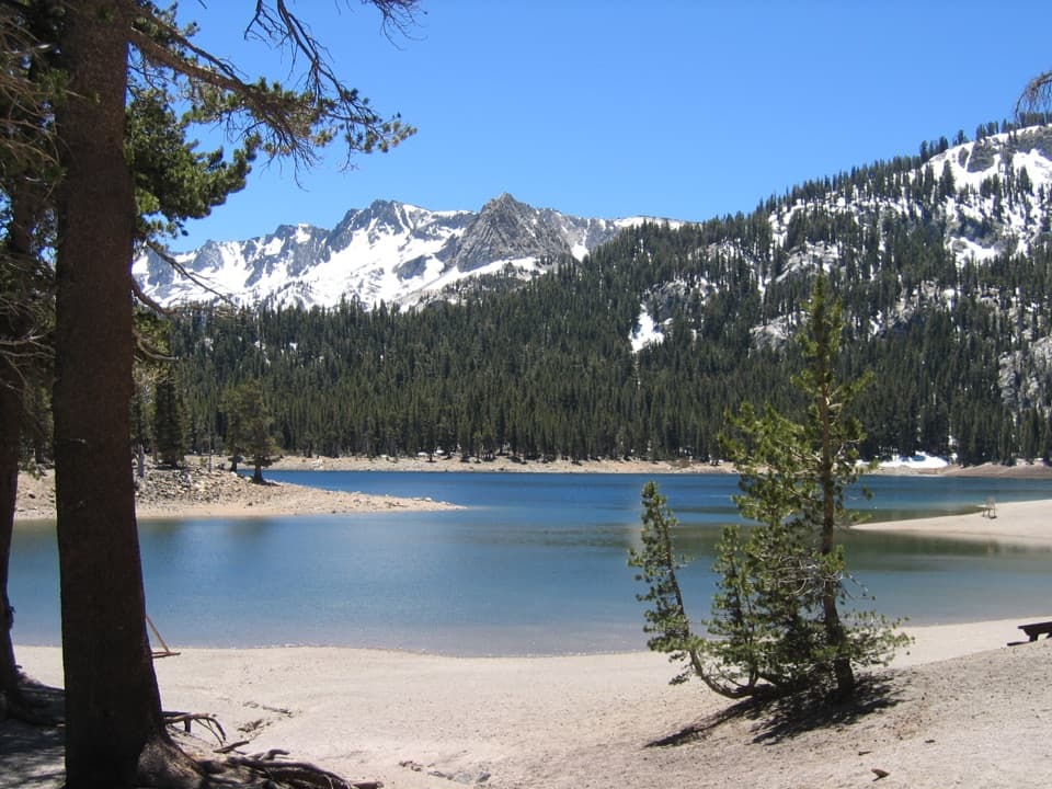
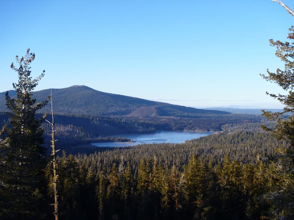
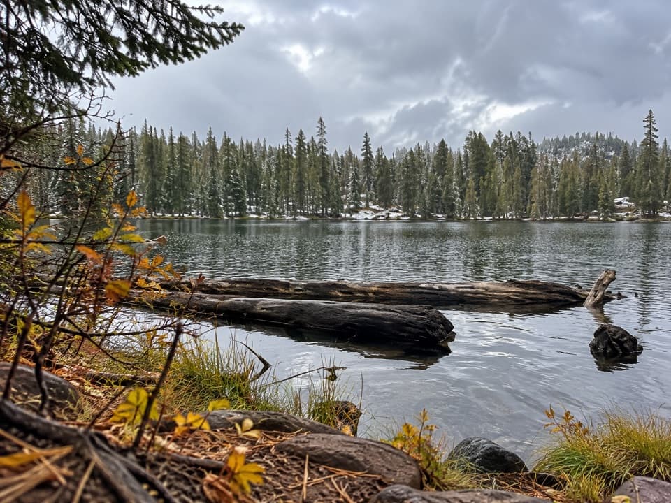
A coarse-sand beach, cool swimming, and trailheads share one shore.

Photo: National Park Service
Type
Sight
Nearest trail
Right here
Audio stories
3 nearby
  • Parking
  • Restrooms
  • Scenic viewpoint
  • Trailhead

Hear the audio tour

Juniper Lake: Beach or Long Loop

Overview

About Juniper Lake

Why stop

  • A gravel beach with Mount Harkness across the water

Heads up

  • The final six miles are rough dirt; there’s no drinking water or cell service

Map

Where it is

Loading the Lassen Volcanic map
Full map
SightJuniper Lake40.46650, -121.30805
Keep this map with you offline in the Parkwolf app

Plan your stop

Before you go

Beach and trail access

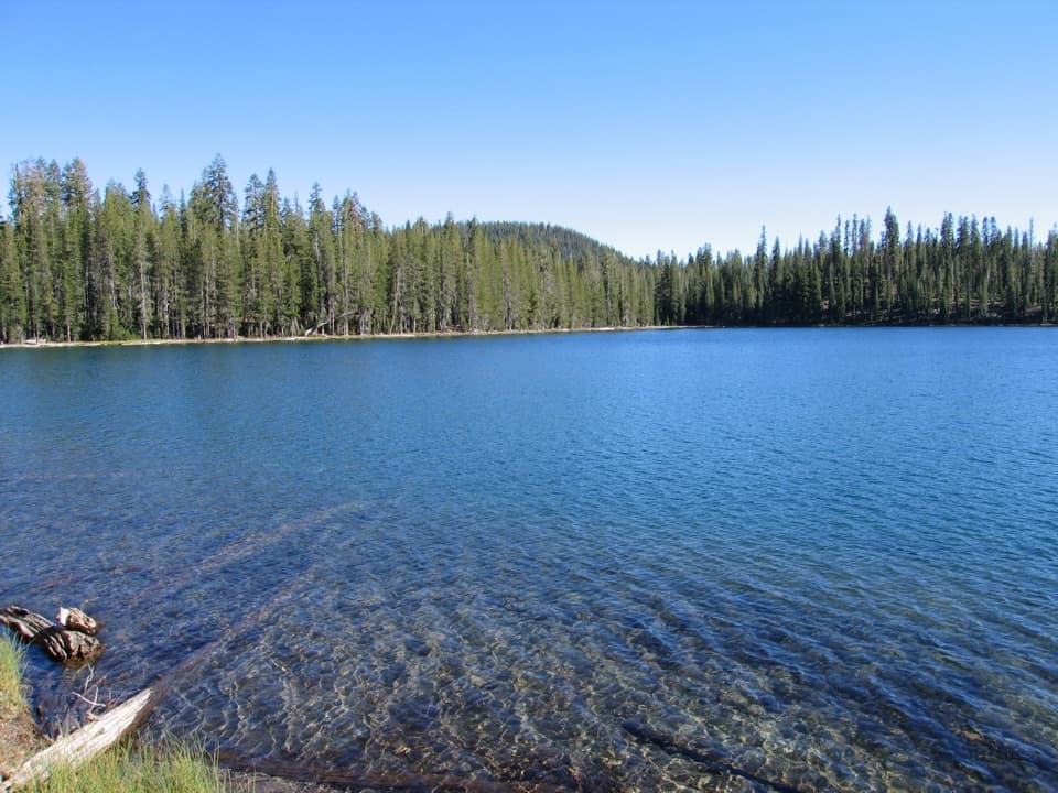
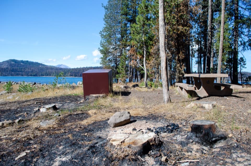
The north shore has a long stretch of fine gravel and coarse sand. The bottom slopes gradually in most places, so you can hand-launch a kayak, paddleboard or other small nonmotorized craft. The water stays cool year-round even though swimming is popular, and there are no sport fish in the lake. The day-use area has parking, a seasonal vault restroom and several trailheads, including routes toward Horseshoe Lake, Snag Lake, Inspiration Point and the Juniper Lake Loop.

1 active Lassen Volcanic alert

  • ClosureJuniper Lake campground and day-use area closedMentions this placeJuniper Lake Campground and day-use area are closed for maintenance and campground-improvement projects. - Potable water is unavailable in the campground.Official details
Lassen Volcanic alerts
A park ranger sits on a dash-mounted phone, talking, as Parkwolf’s Tour Guide plays “Army Cutworm Moths: A Grizzly Bear Buffet” on Grand Loop Road below Dunraven Pass in Yellowstone
Parkwolf Tour GuideThe highest, rockiest slopes around here are a summer buffet for grizzly bears.

Lassen Volcanic Tour Guide

Your drive to Juniper Lake, narrated.

Parkwolf is a GPS audio tour guide for Lassen Volcanic National Park. As you drive, it chimes in with what’s ahead: hidden gems, upcoming stops, history, geology, and wildlife, right through your car’s speakers.

See the Lassen Volcanic audio tour

Recorded for this place

Juniper Lake: Beach or Long Loop
0:00 / 0:29
“You’re nearing Juniper Lake’s north-shore day-use area, where a gravel-and-sand beach looks across the water toward Mount Harkness.”

Plays as you drive up to Juniper Lake in the Parkwolf Lassen Volcanic Tour Guide.

More stories near here in the app

  • Crystal Lake: A Short but Steep Climb
  • Mount Harkness: Meadow Views and a Lost Lookout
  • Life Inside a Burned Tree
  • The Pika's Winter Pantry
  • 45 audio storiesacross Lassen Volcanic’s roads, triggered by GPS as you drive
  • Wildlife heatmapsfor Black Bear, Bald Eagle, Mule Deer, and 13 more
  • Works offlinemaps, 59 trails, 56 places, and audio download before you lose signal
  • CarPlay readysimple controls built for the drive
★★★★★
“Fantastic app with many points of information… It’s great to just turn on while you’re driving and it gives you an audio tour of the national Park. We love it!!!!”
JMJamesApp Store review
Download Parkwolf on the App StoreGet Parkwolf on Google Play

4.7 from 8,600+ ratings

Guide

More about Juniper Lake

A lake you have to work forJuniper Lake is a high-elevation lake in Lassen Volcanic’s remote southeast corner.

Juniper Lake is a high-elevation lake in Lassen Volcanic’s remote southeast corner. Its north-shore day-use area is the place to swim, launch a small nonmotorized craft, or start a hike. Keep it for a quiet lakeshore day if the drive and conditions suit you; this is a commitment, not a quick pullout.

Plan the approachFrom Chester, it’s about 13 miles to the lake.

From Chester, it’s about 13 miles to the lake. The final six are rough, steep dirt; a high-clearance vehicle is recommended, and buses, motorhomes and trailers aren’t suitable. There’s no drinking water, cell service or other service at the lake, so get supplies before leaving Chester. Juniper Lake Road isn’t maintained in winter, and driving when snow covers it isn’t advised, usually from November through June. Check current access before making the long drive.

The view across the waterMount Harkness rises on the far shore.

Mount Harkness rises on the far shore. West-facing parts of the beach can also show Lassen Peak, and the shore faces west or south for sunset views. Stay by the water for a swim or paddle, or use the beach as a starting point for one of the area’s longer walks.

A lookout that no longer standsMount Harkness is an ancient shield volcano topped by a cinder cone, reaching 8,046 feet.

Mount Harkness is an ancient shield volcano topped by a cinder cone, reaching 8,046 feet. A two-story stone-and-wood fire lookout was built there in 1930 to spot fires; it also housed a seismograph. The lookout was destroyed by the 2021 Dixie Fire, which burned parts of the Juniper Lake area, so there’s no building on the ridge to look for now.

Wildlife

Wildlife in Lassen Volcanic

All Lassen Volcanic wildlife maps

Sighting maps show where each species has been reported across Lassen Volcanic. Wildlife moves, so no sighting is guaranteed.

Keep exploring

Near Juniper Lake

See it all on the map

Trails nearby

More stops nearby

Parkwolf’s Lassen Volcanic ranking

Top sights in Lassen Volcanic

All 56 places
  1. 1Bumpass HellSight
  2. 2Lassen PeakSight
  3. 3Sulphur WorksSight
  4. 4Cinder ConeSight
  5. 5Lake HelenSight
  6. 6Manzanita LakeSight

Take Parkwolf to Lassen Volcanic.

The audio tour guide for the drive, plus offline maps, trails, and wildlife heatmaps for when the signal drops.

4.7 from 8,600+ ratings

Download Parkwolf on the App StoreGet Parkwolf on Google Play