Moderate

Mount Harkness Trail

Shaded climb to a cinder cone summit with far-reaching views
Mount Harkness Trail, Lassen Volcanic National Park
Distance3.8 mi
Typical time3 hr
DifficultyModerate
PetsNot allowed

Overview

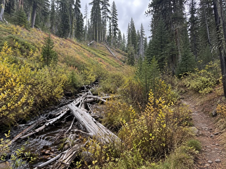
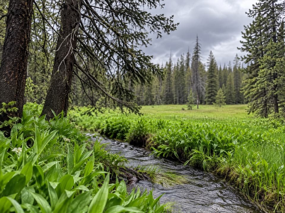
This is a rewarding summit hike from the Juniper Lake side, topping out at 8,046 feet on Mount Harkness. The standard out-and-back is 3.8 miles total with about 1,250 feet of gain, and most hikers take around 3 hours. Expect a mellow start through cool red fir forest before the trail steepens onto open volcanic slopes near the top.

Route and Options

Start at the parking area on the north side of the Juniper Lake Ranger Station, then walk toward the campground and bear left for the signed trailhead. Around 1.7 miles in, keep left at the junction (the right fork heads toward Warner Valley/Juniper Lake outlet). The final stretch switchbacks up a younger cinder cone perched atop an older shield volcano. If you want a longer day, there’s a roughly 5.4-mile loop variant described by hikers, and with a shuttle you can link toward Warner Valley via the mid-route junction—always verify current openings before committing.

Geology, Views, and Wildlife

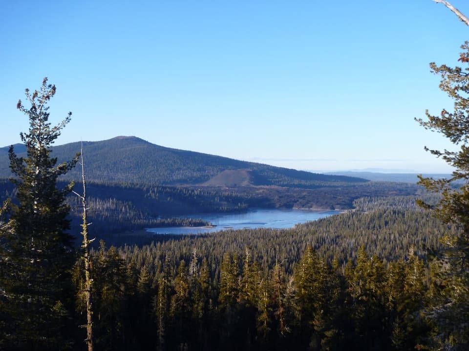
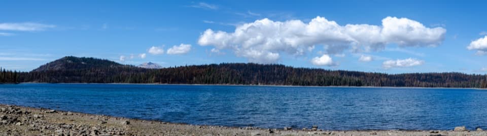
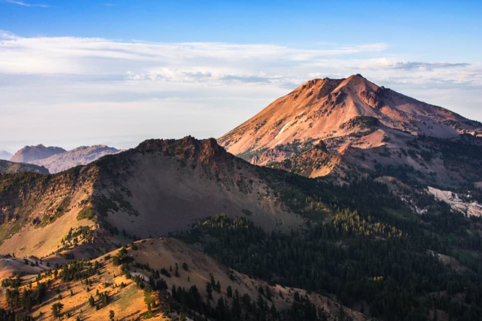
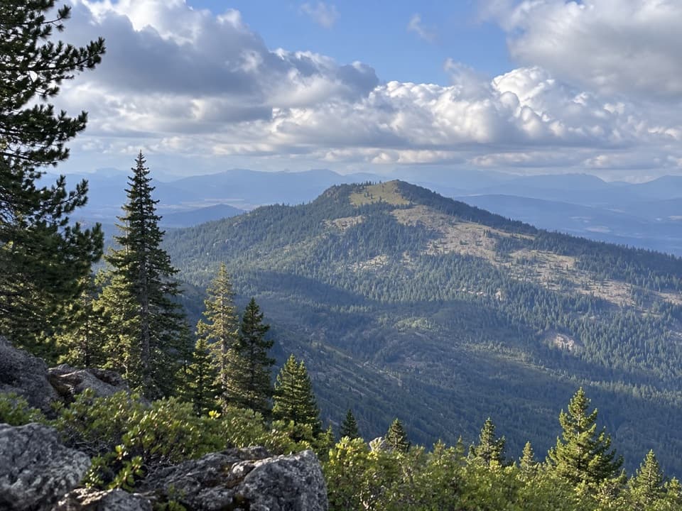
Mount Harkness is a two-for-one geology lesson: an ancient shield volcano capped by a cinder cone. You’ll notice the transition from shaded forest to airy, rocky slopes as you near the summit. On clear days, the panorama can reach the Three Sisters to the north, the Sierra Nevada to the south, the Coast Range to the west, and sometimes even into Nevada. Watch and listen for Clark’s Nutcrackers on the open cone; you may also notice crickets along the warm, rocky sections.

Current Summit Status

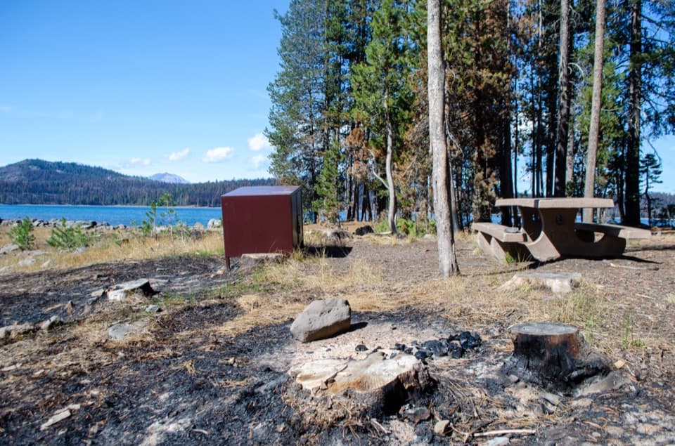
The historic fire lookout that once crowned the summit was destroyed in the 2021 Dixie Fire. Views are still outstanding, but don’t expect an intact structure or interior access.

Access, Facilities, and Conditions

Juniper Lake is reached via a graded dirt road; drive slowly and check road conditions in advance. There’s no potable water in the Juniper Lake area—carry everything you need—and there’s typically no entrance station here, so arrive with a valid pass. Post-fire and snow-related closures have affected this area in recent years; conditions change, so check current park alerts before you go.

Best Time to Hike

August through October is the sweet spot: snow has usually melted off the upper trail, mosquitoes have eased, and visibility tends to be stellar for long-range views. July can still be busy and buggy, and lingering snow can hang on into early summer. Start early for cooler temps and calmer air; the final half-mile is exposed to sun and wind, and midafternoon heat makes the cone feel longer.

Tips

  • Bring more water than you think you need, plus sun protection and a wind layer for the summit.
  • The volcanic tread can be loose and uneven near the top; sturdy shoes help.
  • Altitude starts around 6,800 feet—pace yourself if you’re not acclimated.
  • This summit is quieter than the park’s headliners, making it a great choice if you want big views without big crowds.

Pros

  • Two-volcano geology: shield base with a cinder cone finish
  • Quieter than the park’s headline hikes, yet equally panoramic

Cons

  • Historic fire lookout was destroyed in 2021; no structure to tour
  • No potable water at Juniper Lake and a rougher access road to reach it

Parking

Park on the north side of the Juniper Lake Ranger Station; walk toward the campground and bear left to the signed trailhead.

Caution

No potable water; exposed, loose volcanic rock on the final cone; altitude and strong sun; access and trails can close due to post-fire damage and lingering snow—check current alerts.

The Parkwolf tour guide sitting on a phone mounted in a car

Parkwolf Tour Guide

Like a tour guide in your car.

Bring Lassen Volcanic trail research into the car, with offline maps and stories that play as you drive.Download Parkwolf on the App Store