
Place
Easy
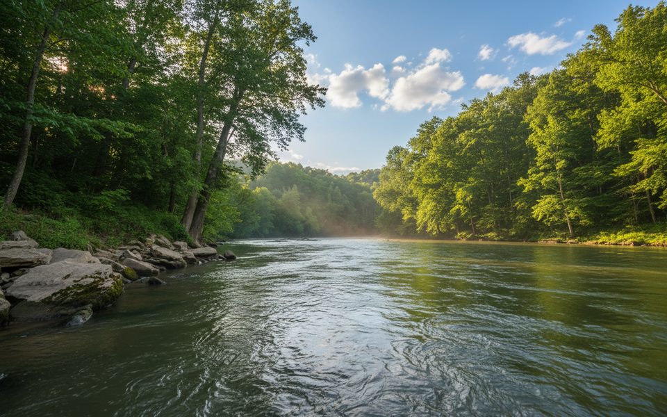
Looking for a mellow, quiet woods-and-creek walk away from the cave tour crowds? This backcountry corridor delivers. It’s commonly signed and mapped in-park as Buffalo Creek Trail, but many hiking apps call the same route Buffalo Trail. Expect solitude, equestrian traffic, and a natural tread that gets messy after rain.
Plan on 5.5 miles total out-and-back with about 324 feet of gain, taking roughly 1 hour 54 minutes at a steady pace. Official park materials recognize the core connector as 4.4 miles (Buffalo Creek Trail) depending on where you turn around. Either way, it’s an easy grade with a few short ups and downs.
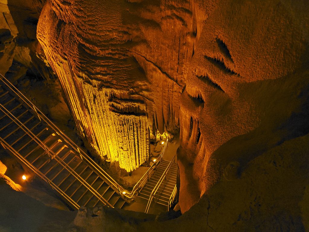
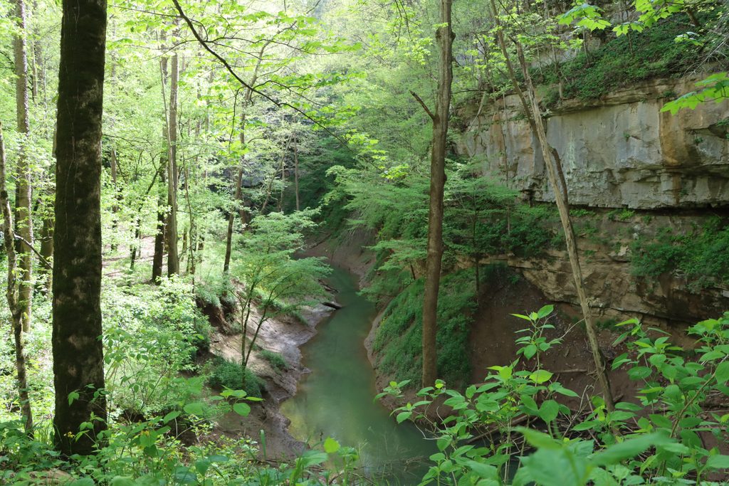
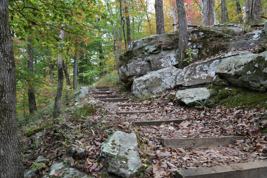
This is classic Mammoth Cave upland forest and creekside walking—shady hardwoods, occasional limestone outcrops, and a generally peaceful feel. In wet-weather windows you may notice springs emerging near sinkholes and seeps that hint at the cave system beneath. Keep your eyes open for deer, toads and frogs, and yes, copperheads are possible. Detouring toward the Bluffs primitive campsite adds waterfalls, rock features, and broader valley views.
It’s a shared-use route with horses, and the tread tells the story: expect churned sections, deep hoof holes, and honest mud after any rain. There can be rough rocks underfoot, plus the occasional downed tree to step over. Navigation is straightforward overall, but some junctions are easy to cruise past and a few signs sit low—pay attention. The corridor links easily with Turnhole Bend and Sal Hollow for longer, more varied loops; Good Springs and Dry Prong also branch from this network.
Open year-round. Spring and fall bring color and comfortable temps; winter offers more open views through the trees; summer stays shaded but can be buggy and humid. For firmer footing, aim for a dry spell—this one gets sloppy fast after rain. Crowds are usually light regardless of day, but morning starts are the sweet spot for cooler temps and quiet.
If you want an easy, quiet walk with karst-country character and the option to build longer loops, yes. If you hate mud and horse ruts, go in a dry window or pick a different path in the same network.
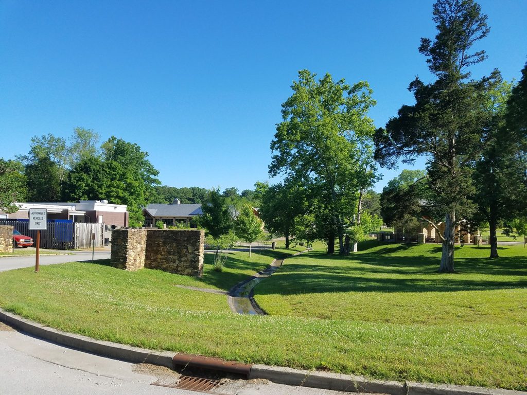
Park at Maple Springs Trailhead; typically free with a small-to-medium lot.
Expect heavy mud and hoof-rutted sections after rain; watch for copperheads, occasional downed trees, and easy-to-miss junctions. Cell service can be spotty.
Place
Place
Place
Place
Moderate
Moderate
Easy
Moderate

Parkwolf Tour Guide
