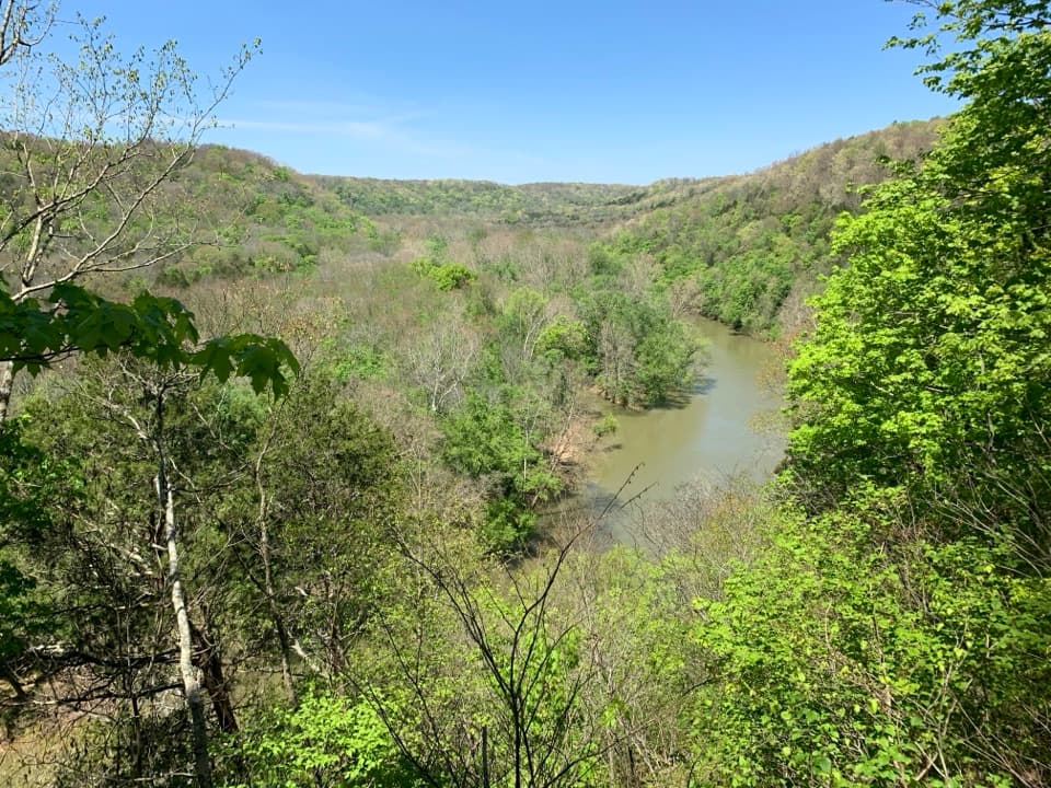
Parking
Park at Cedar Sink Trailhead, where the route starts beside the lot. Parking may fill depending on park visitation.
#1 of 47 trails in Mammoth Cave
Mammoth Cave National Park, KY
A sinkhole walk with a rare glimpse of an underground river.
Overview
Map & elevation
Plan your hike

The highest, rockiest slopes around here are a summer buffet for grizzly bears.
Mammoth Cave Tour Guide
Parkwolf is a GPS audio tour guide for Mammoth Cave National Park. As you drive, it chimes in with what’s ahead: hidden gems, upcoming stops, history, geology, and wildlife, right through your car’s speakers.
Recorded for this trailhead
Cedar Sink“Cedar Sink trailhead is coming up, for a walk into a steep-walled limestone hollow. Allow an hour to ninety minutes for the full one point six mile outing, with nearly three hundred steps in total.”
Plays as you drive up to this trailhead in the Parkwolf Mammoth Cave Tour Guide.
More stories near here in the app
“Fantastic app with many points of information… It’s great to just turn on while you’re driving and it gives you an audio tour of the national Park. We love it!!!!”


Trail guide
Cedar Sink Trail is a 1.6-mile lollipop loop from Cedar Sink Trailhead on Mammoth Cave's south side. The wooded approach rolls along a broad dirt path before stairs carry you into the sink; a lower route circles its bowl past observation decks and a footbridge, then rejoins the approach back to the lot. The payoff is an unusual change in scale: a steep-walled limestone hollow hidden in the forest, where an underground stream briefly appears above ground. If you want to see the cave landscape without taking a cave tour, this is a strong choice.
Allow about an hour to 90 minutes. The distance looks short, but stairs slow the walk and the sink deserves a pause. The full figure is for the complete walk back to the trailhead. One-mile figures circulate for this route, sometimes called a round trip and sometimes a loop; the mapped visitor route is closer to 1.6 miles once the shared approach and lower circuit are counted together.
From the lot, the rolling dirt track goes downhill for roughly three-quarters of a mile before you reach the sink. It's about six feet wide, with small rises and dips rather than one straight drop. Once at the sink, keep following the lower trail around the bowl instead of treating the first stairway as the endpoint. The mapped circuit uses several stair flights and a short footbridge before it climbs back to the shared approach. You do not need to add another trail or reach a different cave to complete Cedar Sink Trail.
There are 295 stairs in all. You'll descend into the sink and climb back out on steps; the floor itself is fairly flat and stable, but the stair sections are the demanding part. This is not a flat stroll, and the route is not accessible for everyone. If repeated stairs or limited mobility would make the descent difficult, choose another walk rather than expecting a level way through the sink. The rolling approach is easier underfoot than the basin circuit, but the loop's stairs are part of the experience, not a short optional spur.
Cedar Sink is a karst window, probably formed when limestone above a cavern opening collapsed and exposed a short stretch of an underground stream. The water crosses the sink floor, then disappears beneath a rocky bluff. The lower observation deck gives you the clearest view of that brief surface run; frame the channel with the steep wall so the scale of the sink is clear. Water levels vary, and the channel can be dry, so the geological shape is the reliable payoff rather than a guarantee of flowing water.
Start at the Cedar Sink Trailhead parking area. It can fill depending on park visitation, and the trail begins beside the lot. No reservation or separate activity fee is required, though the park entrance fee may apply. Dogs are allowed on a leash no longer than six feet. The stairs are the key access limitation: there is no level route through the sink on this mapped loop.
Wildlife
 228 sightingsWhite-tailed DeerMost seen around 7 AMSighting map
 23 sightingsTricolored BatMost seen around 8 PMSighting map
 75 sightingsCave SalamanderMost seen around 6 PMSighting map
 151 sightingsWild TurkeyMost seen around 7 AMSighting map
 13 sightingsBarred OwlMost seen around 7 PMSighting map
 40 sightingsSnapping TurtleMost seen around 11 AMSighting map
Sighting maps show where each species has been reported across Mammoth Cave. Wildlife moves, so no sighting is guaranteed.
Keep exploring
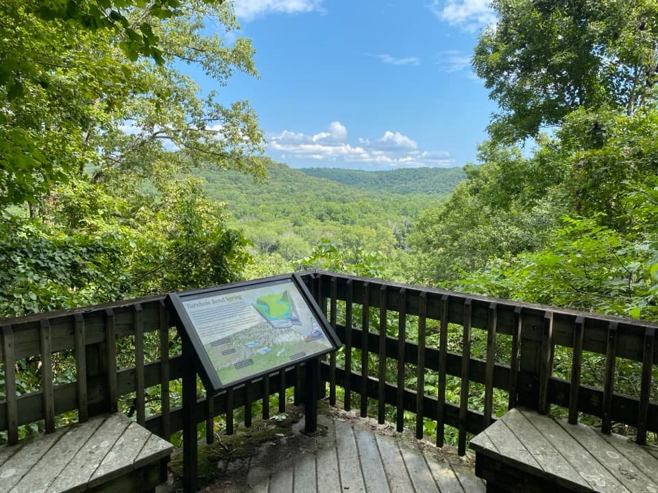 ModerateTurnhole Bend Nature Trail0.5 mi · 36 min · 0.5 mi awayA short wooded loop with a sinkhole deck and Green River views.
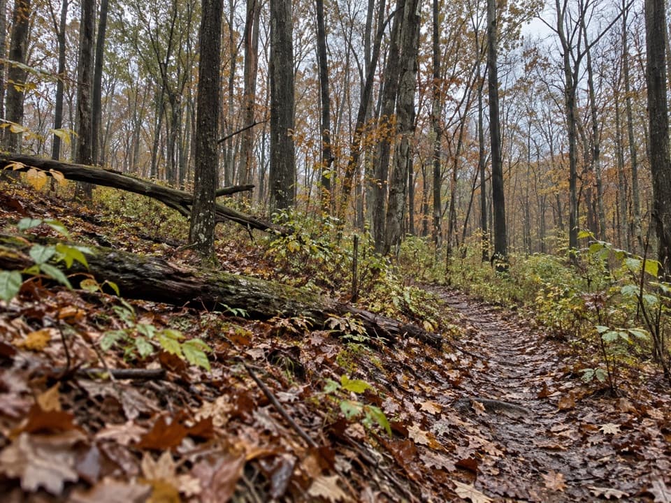 ModerateDry Prong Trail2.4 mi · 1.5 hr · 3 mi awayA rough connector best folded into a longer backcountry hike.
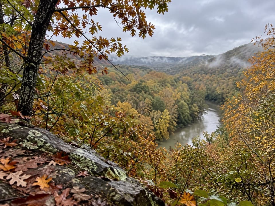 ModerateTurnhole Bend Trail1.8 mi · 1 hr · 3 mi awayA backcountry camp route with one steep ravine at the end.
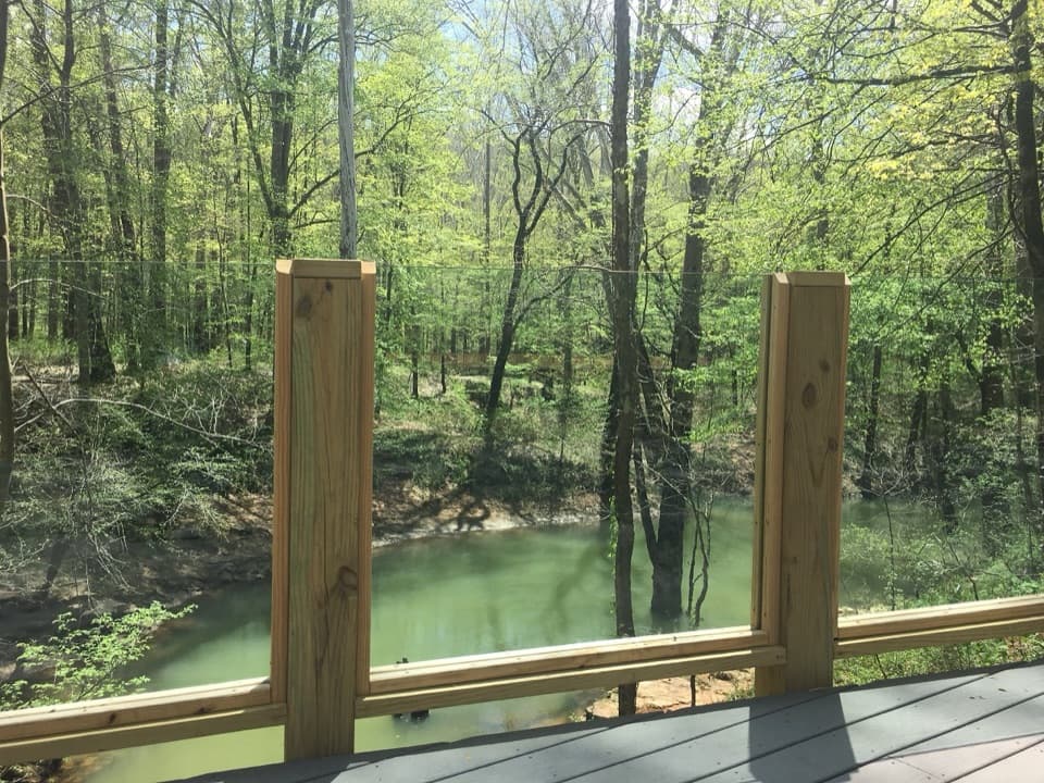 EasyEcho River Springs Loop Trail0.7 mi · 45 min · 3.2 mi awayA short, level loop with two spring-side viewing platforms.
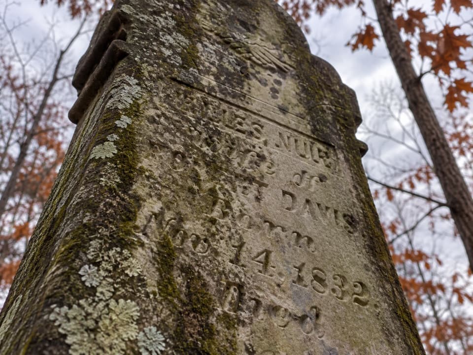 EasyMiles-Davis Cemetery Trail0.5 mi · 30 min · 3.4 mi awayA short cemetery spur tucked deep in the backcountry.
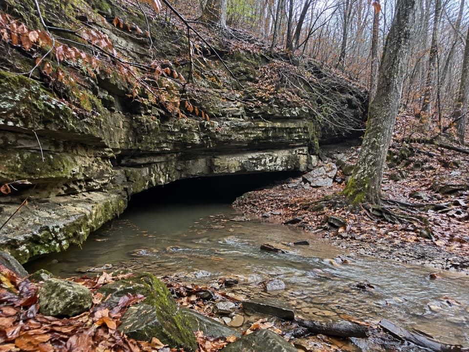 ModerateRiver Valley Trail0.3 mi · 10 min · 3.4 mi awayA short connector climbs past a CCC-era stone chlorinator house
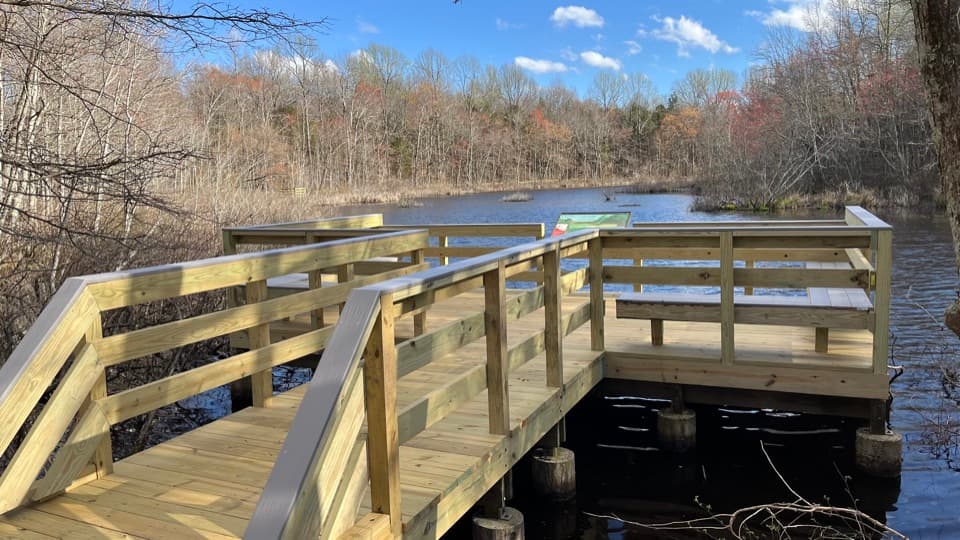 EasySloan's Crossing Pond Walk0.4 mi · 15 min · 3.4 mi awayAn easy boardwalk loop around a wildlife-rich pond.
 EasyTwo Springs Trail0.6 mi · 30 min · 3.6 mi awayA short, steep link between two springs fed by the cave.
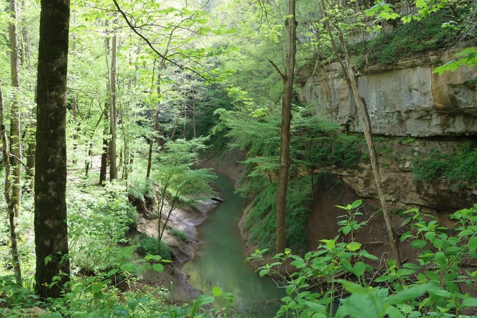 Sight · 0.6 mi awayCedar SinkNearly 300 stairs lead into a forested sinkhole.Sight · 0.7 mi awayTurnhole Bend OverlookA half-mile loop pairs sinkhole geology with a riverboat-era story.
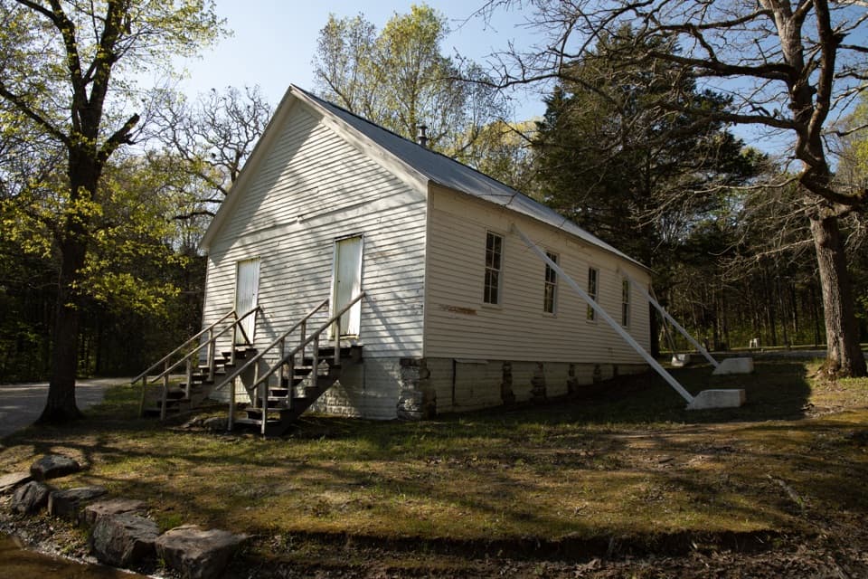 Sight · 1.5 mi awayJoppa Missionary Baptist Church & CemeteryA surviving trace of the communities that became the park.
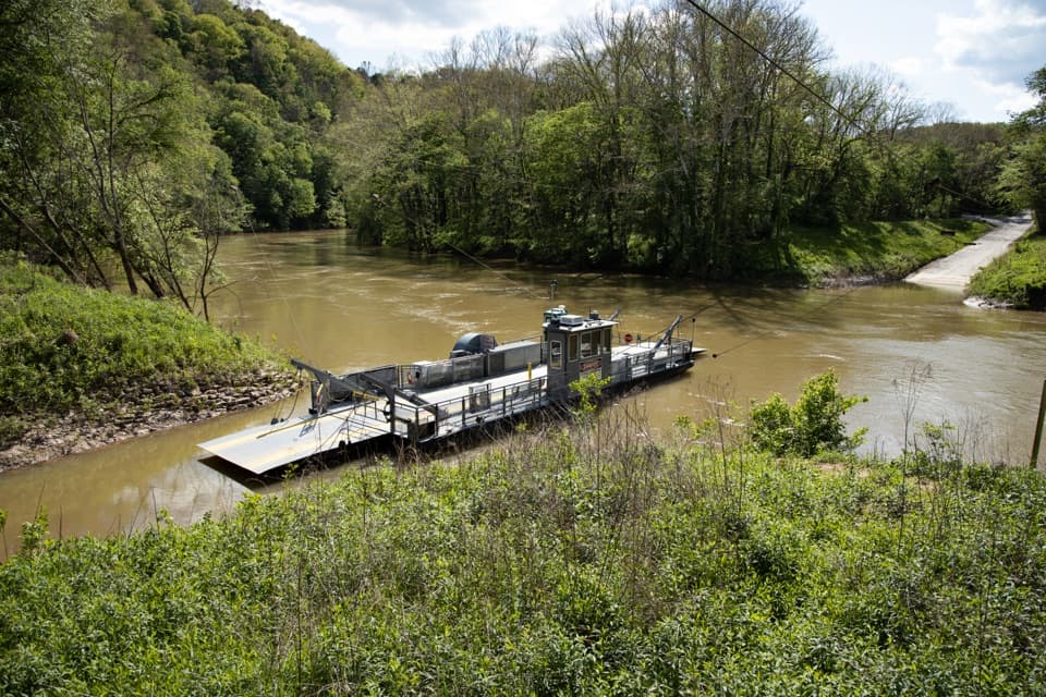 Sight · 3.1 mi awayGreen River FerryA 1934 ferry crossing with a one-mile accessible woodland loop.
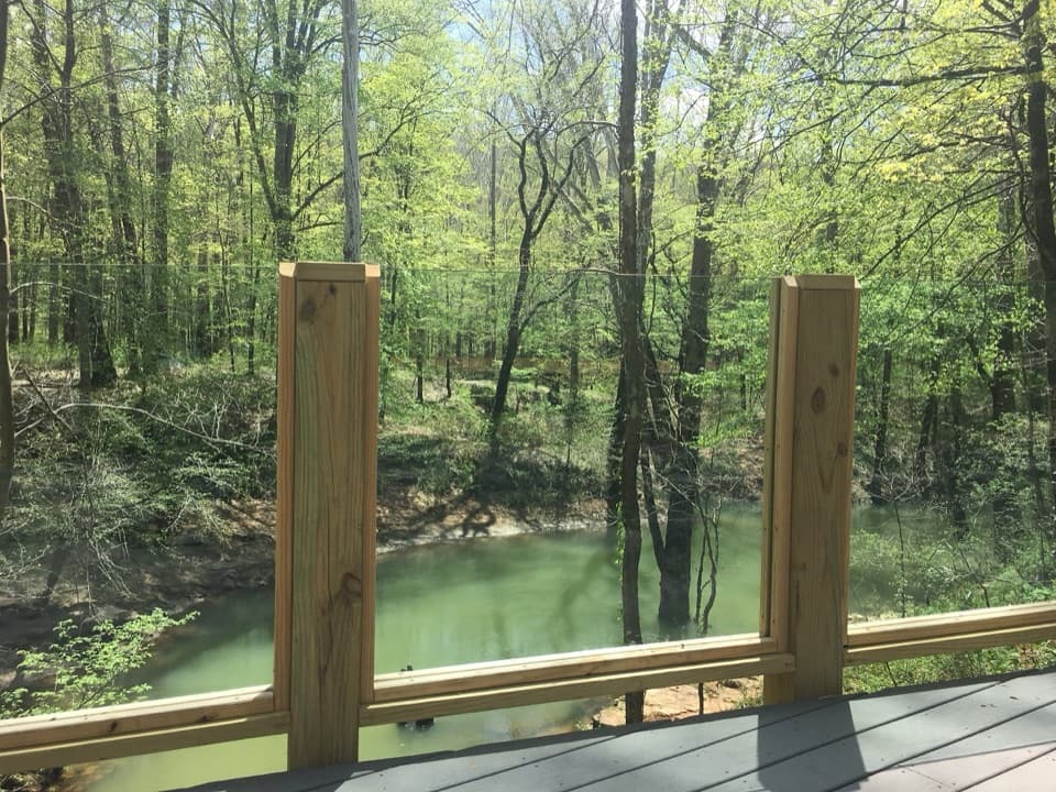 Sight · 3.2 mi awayEcho River SpringSee the underground river emerge at a forested spring.
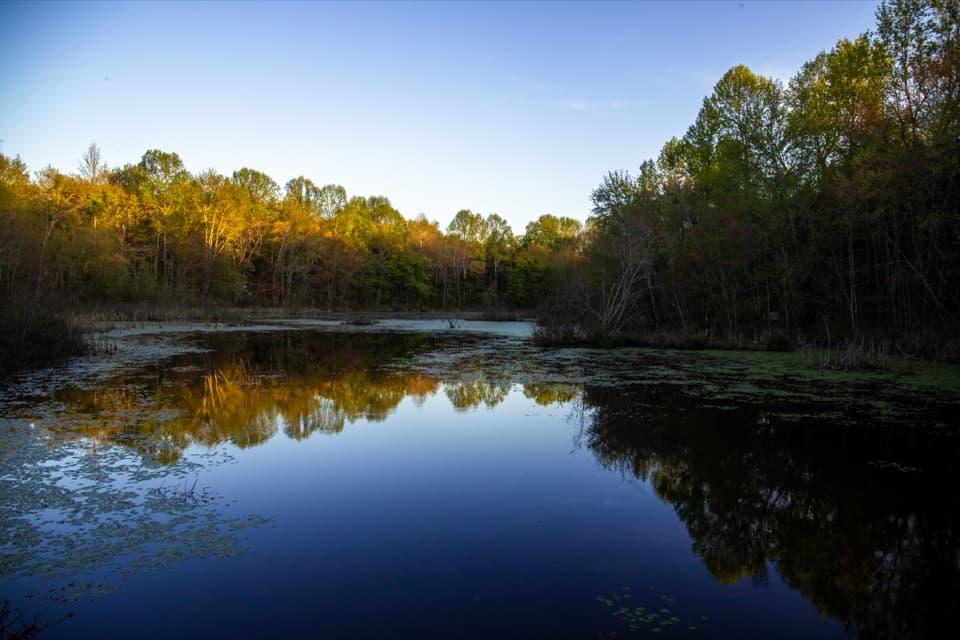 Sight · 3.4 mi awaySloan’s Crossing PondAn easy boardwalk loop for pond wildlife and a quick picnic stop.Sight · 3.6 mi awayRiver Styx SpringA short walk to see cave water emerge at the surface.
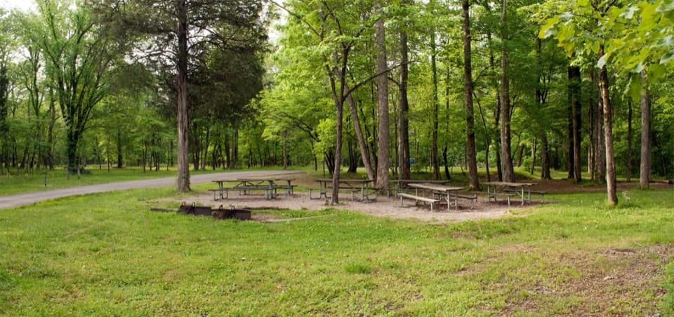 Campground · 3.6 mi awayMaple Springs Group CampgroundA quiet base for group camping near northern backcountry trails.
Parkwolf’s Mammoth Cave ranking

The audio tour guide for the drive, plus offline maps, trails, and wildlife heatmaps for when the signal drops.