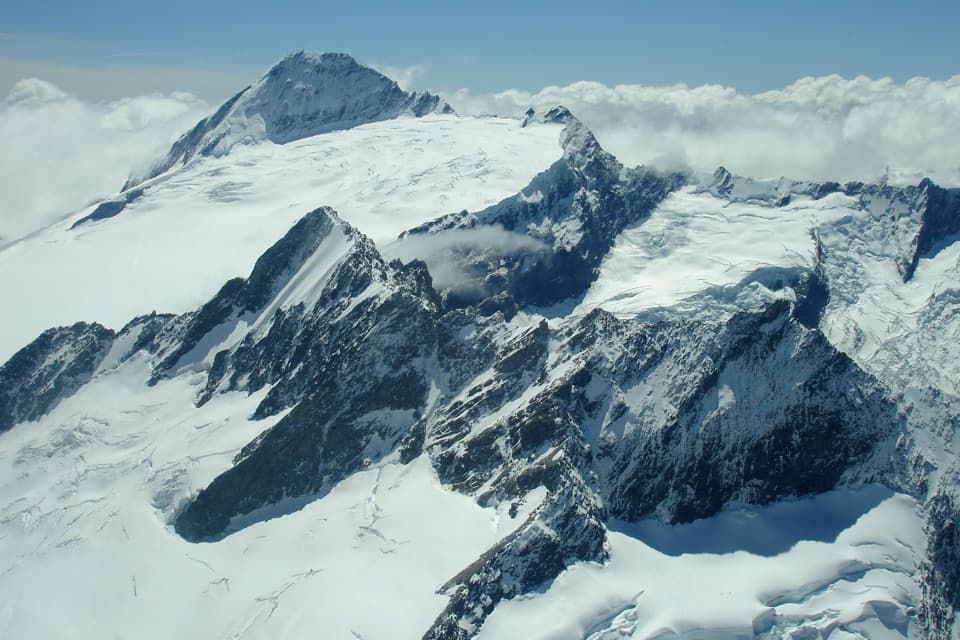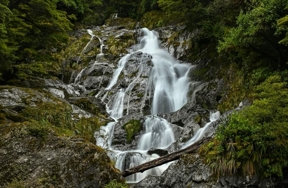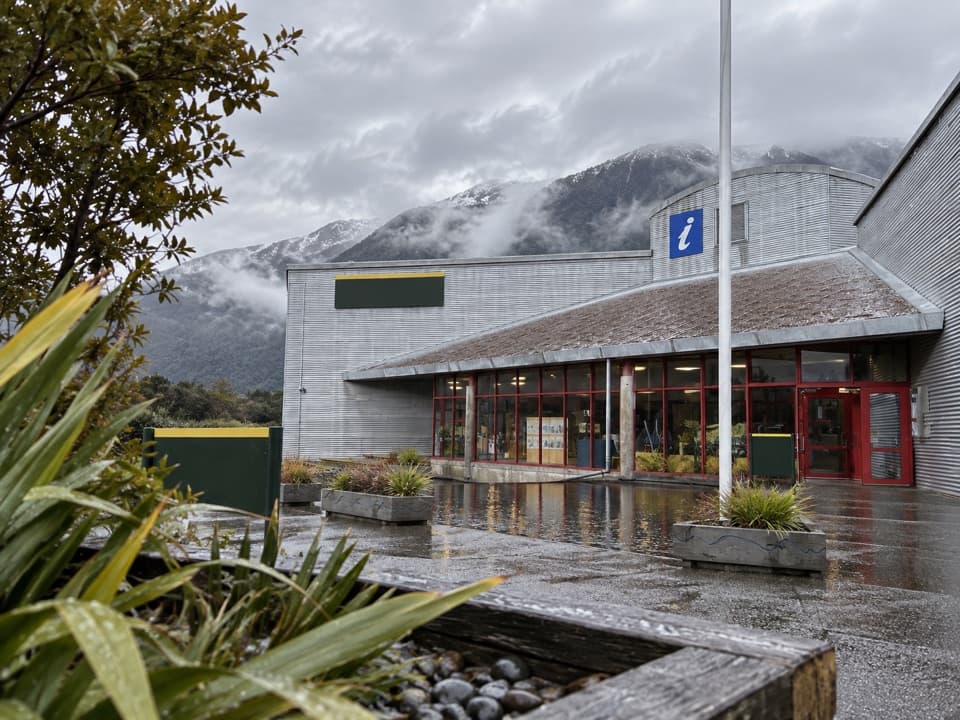
Awarua/Haast Visitor Centre in Mount Aspiring National Park

Visitor center · Mount Aspiring National Park

Awarua/Haast Visitor Centre

A museum and trip-planning stop for South Westland.

Overview

About Awarua/Haast Visitor Centre

Why stop

  • Displays tell a fuller South Westland story than a quick map stop.
  • Useful advice for tracks, huts and regional travel planning.

Map

Where it is

Loading the Mount Aspiring map
Full map
Visitor centerAwarua/Haast Visitor Centre-43.86119, 169.04572
Keep this map with you offline in the Parkwolf app

Plan your stop

Before you go

1 active Mount Aspiring alert

  • CautionRob Roy Track: stop at lower lookout during avalanche seasonFrom May through November, end your Rob Roy Track hike at the lower lookout; DOC strongly recommends against continuing to the upper lookout because the track crosses active avalanche paths.Official details

Mount Aspiring alerts
A park ranger sits on a dash-mounted phone, talking, as Parkwolf’s Tour Guide plays “Army Cutworm Moths: A Grizzly Bear Buffet” on Grand Loop Road below Dunraven Pass in Yellowstone
Parkwolf Tour GuideThe highest, rockiest slopes around here are a summer buffet for grizzly bears.

Mount Aspiring Tour Guide

Your drive to Awarua/Haast Visitor Centre, narrated.

Parkwolf is a GPS audio tour guide for Mount Aspiring National Park. As you drive, it chimes in with what’s ahead: hidden gems, upcoming stops, history, geology, and wildlife, right through your car’s speakers.

See the Mount Aspiring audio tour

More stories near here in the app

  • The Bird Behind the Falling Leaves
  • The Forest Behind World Heritage
  • 80 audio storiesacross Mount Aspiring’s roads, triggered by GPS as you drive
  • Wildlife heatmapsfor Kea, Rockwren, Yellowhead, and 8 more
  • Works offlinemaps, 50 trails, 52 places, and audio download before you lose signal
  • CarPlay readysimple controls built for the drive
★★★★★
“Fantastic app with many points of information… It’s great to just turn on while you’re driving and it gives you an audio tour of the national Park. We love it!!!!”
JMJamesApp Store review
Download Parkwolf on the App StoreGet Parkwolf on Google Play

4.7 from 8,600+ ratings

Guide

More about Awarua/Haast Visitor Centre

Start here on the Haast roadA compact Department of Conservation information centre sits at Haast Junction, between the…

A compact Department of Conservation information centre sits at Haast Junction, between the Haast River bridge and Haast township. It serves as a gateway to Mount Aspiring and Westland Tai Poutini national parks, with practical information on tracks, huts, campsites and roads. Make room for the displays too; this is more than a quick map stop.

Give the displays timeThe exhibits cover South Westland’s history, biology and culture.

The exhibits cover South Westland’s history, biology and culture. A short film, Edge of Wilderness, and displays about marine life, including penguins, seals and dolphins, add variety. Leave half an hour or more if you want to look around as well as ask for advice; visitors often find there is more to see than they expected.

A very large landscapeThe centre sits within Te Wāhipounamu, the South West New Zealand World Heritage Area.

The centre sits within Te Wāhipounamu, the South West New Zealand World Heritage Area. Listed in 1990 for its natural landscapes and cultural history, it spans 2.6 million hectares across four national parks, including Mount Aspiring. The region’s rocks, plants and animals record a history reaching back 80 million years, while glaciers carved its fiords, lakes and valleys.

Culture belongs in the storyFor Ngāi Tahu, the great mountains and valleys are places of atua, with whakapapa and ancestral…

For Ngāi Tahu, the great mountains and valleys are places of atua, with whakapapa and ancestral deeds forming part of how people understand this landscape. The centre’s cultural displays put that relationship alongside South Westland’s biological and geological stories.

Step outdoorsThe nearby wetland area and Mitchell Walk are easy ways to stretch your stop beyond the…

The nearby wetland area and Mitchell Walk are easy ways to stretch your stop beyond the exhibits. The centre points visitors to both, so you can take in a little of the landscape before getting back on the road.

Pick up the practical detailsThe retail area carries books, jackets, maps, hut tickets and brochures.

The retail area carries books, jackets, maps, hut tickets and brochures. Public toilets are available while the centre is open. Staff can also help with track, hut, campsite and road information, permits and local conservation questions; ask before setting out if your plans depend on current conditions.

Wildlife

Wildlife in Mount Aspiring

All Mount Aspiring wildlife maps

Sighting maps show where each species has been reported across Mount Aspiring. Wildlife moves, so no sighting is guaranteed.

Parkwolf’s Mount Aspiring ranking

Top sights in Mount Aspiring

All 52 places
  1. 1Mount Aspiring / TititeaSight
  2. 2Blue PoolsSight
  3. 3Rob Roy GlacierSight
  4. 4Thunder Creek FallsSight
  5. 5Fantail FallsSight
  6. 6Routeburn FallsSight

Take Parkwolf to Mount Aspiring.

The audio tour guide for the drive, plus offline maps, trails, and wildlife heatmaps for when the signal drops.

4.7 from 8,600+ ratings

Download Parkwolf on the App StoreGet Parkwolf on Google Play