Boundary Creek Campsite in Mount Aspiring National Park

Campground · Mount Aspiring National Park

Boundary Creek Campsite

A quick pause for Lake Wānaka views on the drive to Haast.

Photo: Wikimedia Commons

Map

Where it is

Loading the Mount Aspiring map
Full map
CampgroundBoundary Creek Campsite-44.35174, 169.16816
Keep this map with you offline in the Parkwolf app

Plan your stop

Before you go

1 active Mount Aspiring alert

  • CautionRob Roy Track: stop at lower lookout during avalanche seasonFrom May through November, end your Rob Roy Track hike at the lower lookout; DOC strongly recommends against continuing to the upper lookout because the track crosses active avalanche paths.Official details

Mount Aspiring alerts
A park ranger sits on a dash-mounted phone, talking, as Parkwolf’s Tour Guide plays “Army Cutworm Moths: A Grizzly Bear Buffet” on Grand Loop Road below Dunraven Pass in Yellowstone
Parkwolf Tour GuideThe highest, rockiest slopes around here are a summer buffet for grizzly bears.

Mount Aspiring Tour Guide

Your drive to Boundary Creek Campsite, narrated.

Parkwolf is a GPS audio tour guide for Mount Aspiring National Park. As you drive, it chimes in with what’s ahead: hidden gems, upcoming stops, history, geology, and wildlife, right through your car’s speakers.

See the Mount Aspiring audio tour
  • 80 audio storiesacross Mount Aspiring’s roads, triggered by GPS as you drive
  • Wildlife heatmapsfor Kea, Rockwren, Yellowhead, and 8 more
  • Works offlinemaps, 50 trails, 52 places, and audio download before you lose signal
  • CarPlay readysimple controls built for the drive
★★★★★
“Fantastic app with many points of information… It’s great to just turn on while you’re driving and it gives you an audio tour of the national Park. We love it!!!!”
JMJamesApp Store review
Download Parkwolf on the App StoreGet Parkwolf on Google Play

4.7 from 8,600+ ratings

Guide

More about Boundary Creek Campsite

A quick lakeside stopBoundary Creek is a lakeside campsite at the head of Lake Wānaka, beside SH6 in Hāwea…

Boundary Creek is a lakeside campsite at the head of Lake Wānaka, beside SH6 in Hāwea Conservation Park. It makes a good brief pause on the Wānaka to Haast drive if you want a few minutes looking across the lake to the mountains. This is a simple roadside stop, not a destination that needs a separate detour.

What to expectThe gravel shoreline is dotted with driftwood and low scrub, with the lake and a broad mountain…

The gravel shoreline is dotted with driftwood and low scrub, with the lake and a broad mountain ridge filling the view. There is limited roadside parking and no toilet facilities, so plan for a short stop and bring what you need.

On the Tioripatea routeBoundary Creek is one of the named stops on the highway journey between Wānaka and Haast.

Boundary Creek is one of the named stops on the highway journey between Wānaka and Haast. Māori crossed the pass to trade pounamu and food; Tiori-patea means “the way ahead is clear.” The route shifts from lake and tussock country toward rainforest-clad mountains and the Tasman coast, and Boundary Creek catches the lake end of that change.

Wildlife

Wildlife in Mount Aspiring

All Mount Aspiring wildlife maps

Sighting maps show where each species has been reported across Mount Aspiring. Wildlife moves, so no sighting is guaranteed.

Parkwolf’s Mount Aspiring ranking

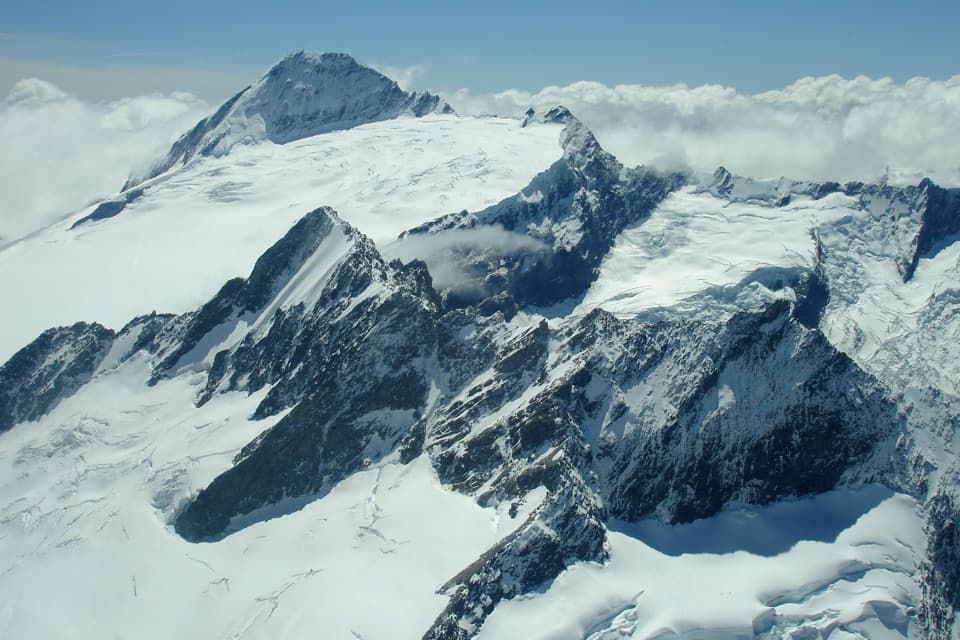
Top sights in Mount Aspiring

All 52 places
  1. 1Mount Aspiring / TititeaSight
  2. 2Blue PoolsSight
  3. 3Rob Roy GlacierSight
  4. 4Thunder Creek FallsSight
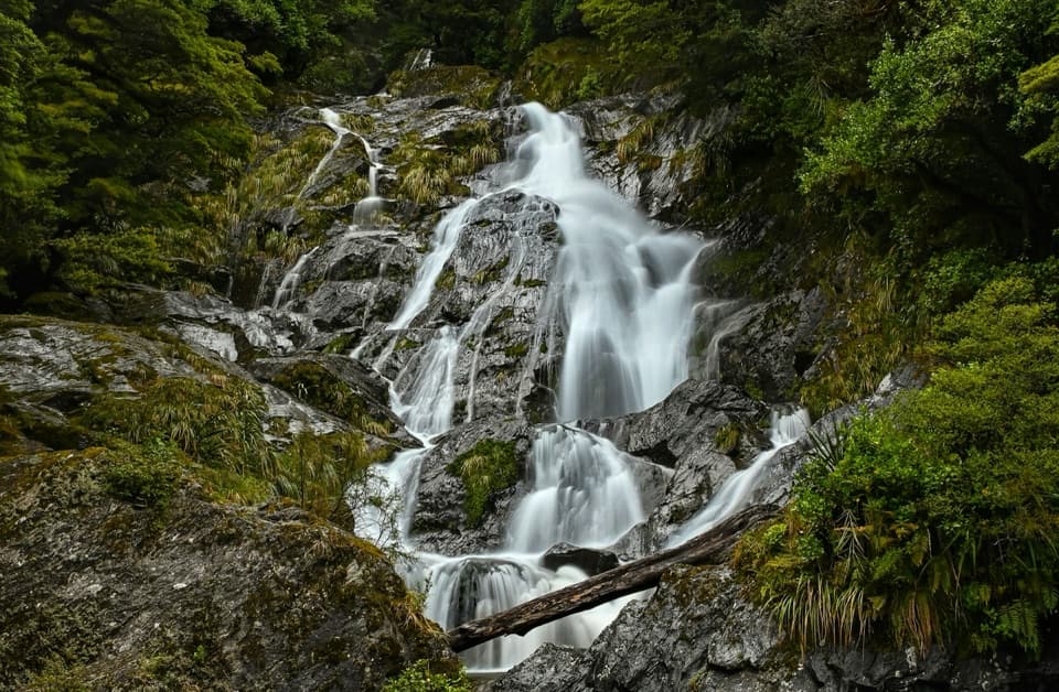
  5. 5Fantail FallsSight
  6. 6Routeburn FallsSight

Take Parkwolf to Mount Aspiring.

The audio tour guide for the drive, plus offline maps, trails, and wildlife heatmaps for when the signal drops.

4.7 from 8,600+ ratings

Download Parkwolf on the App StoreGet Parkwolf on Google Play