
Place · 6.6 mi away
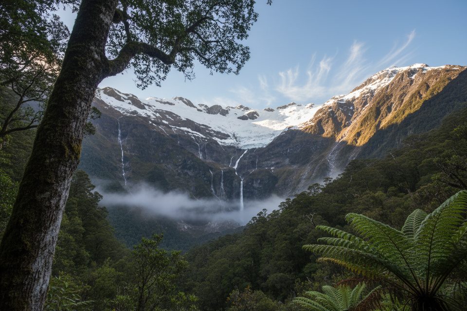
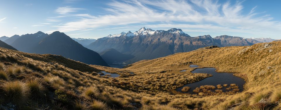
Tucked at the head of Glacier Burn, these glacier-fed cascades drop roughly 100 m into a wide, glacially carved basin. It’s a classic Mount Aspiring experience: beech forest, open tussock, and big mountain walls—without the crowds.
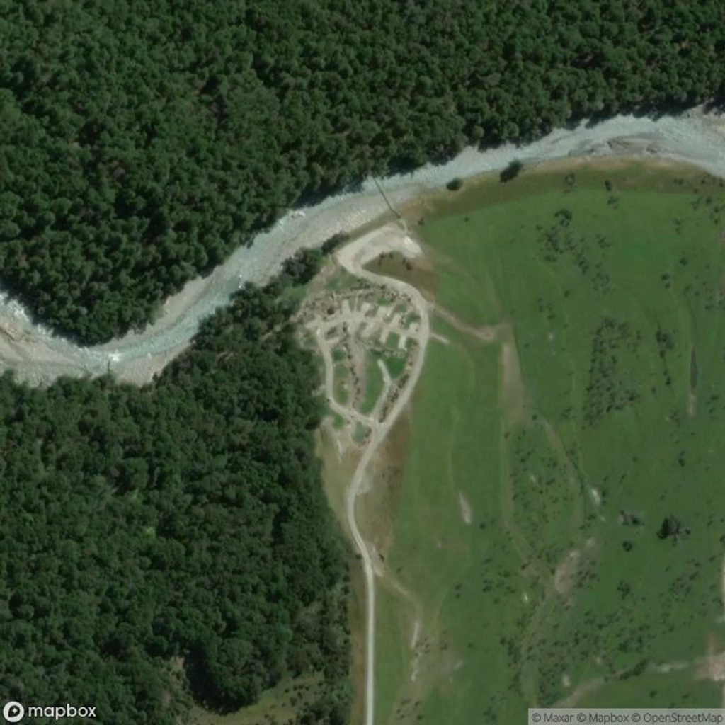
From Wānaka, the Wānaka–Mount Aspiring Road turns to gravel for a long stretch (about 29 km) with potholes, cracks and several creek fords. It’s DOC-managed and signed as an enter-at-your-own-risk road. Cell service is sparse to non-existent, so download maps before you go. There’s a small car park by the bridge over the Matukituki River (about 47.5 km from Wānaka). If you want toilets and picnic tables, continue 4 km to Raspberry Flat car park and use the facilities before starting back toward the Glacier Burn track.
Expect about 4.5 hours return, roughly 7.6 km out-and-back with ~630 m of climbing. The first 1–1.5 hours are relatively easy across leasehold farmland with a couple of shallow river/stream crossings and big views toward the Matukituki and Wishbone Falls. After the signed junction, the Glacier Burn Track heads into beech forest and climbs steadily on rooty, sometimes slippery ground.
The official track ends at the Glacier Burn riverbed and may not give a clear angle on the main falls. Many parties venture a short way up the basin on informal paths or the riverbed to improve the view—do this only if conditions are safe and you’re confident with off-track travel. In the basin, you’ll often follow cairns rather than poles. A telephoto lens helps compress the falls and ridgelines.
Summer and the shoulder seasons bring longer daylight. Start early for cooler temps and soft side-light on the falls; golden hours in spring and autumn are especially photogenic. Flow is best during or after rain and in mid-summer melt, but streams can rise quickly—don’t push crossings if water is swift or above knee height. Weekdays see fewer people.
Bring waterproof layers, warm clothing, sturdy boots, poles for descents/stream crossings, plenty of food and water (there are no on-track supplies), a first-aid kit, and offline maps/GPS; consider a PLB for small groups. Weather turns fast in the Southern Alps. Parts of this area can be affected by avalanche paths roughly May–November—check conditions before you go. Drones are generally restricted in national parks; confirm current DOC rules before flying.
If conditions turn, Rob Roy Glacier Track from Raspberry Flat delivers big glacier views on a better-formed path. For a quick fix, Wishbone Falls is a scenic roadside stop in the Matukituki.
Place · 6.6 mi away
Place · 7.7 mi away
Place · 8.1 mi away
Place · 9.1 mi away
Easy · 6.6 mi away
Challenging · 7.7 mi away
Easy · 7.7 mi away
Moderate · 7.7 mi away

Parkwolf Tour Guide
