Challenging

Routeburn Track

Alpine-to-rainforest Great Walk with huts, waterfalls, and big views.
Routeburn Track, Mount Aspiring National Park
Distance20.5 mi
Typical time13 hr
DifficultyChallenging
PetsNot allowed

Overview

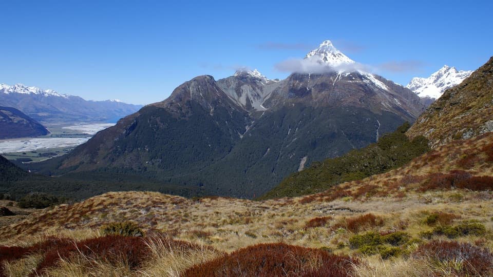
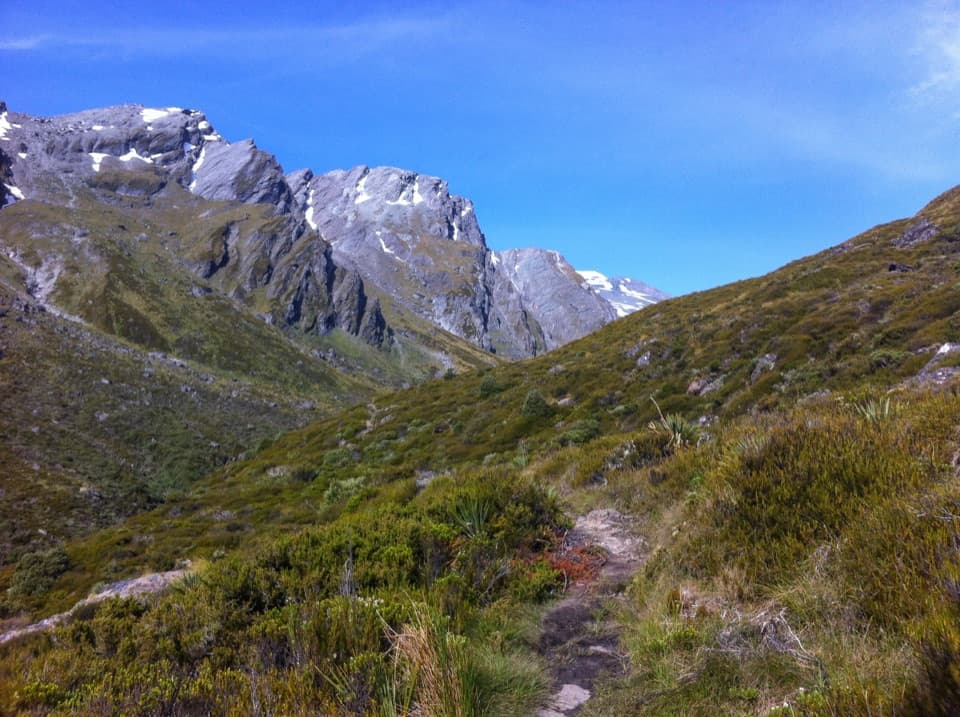
A compact, world‑class traverse, the Routeburn Track links Routeburn Shelter (near Glenorchy) with The Divide on the Milford Highway. At roughly 33 km/20.5 miles one way, it stitches together aqua‑clear rivers, lush beech forest, and a wide‑open alpine skyline. The high point is Harris Saddle/Tarahaka Whakatipu (1,255 m), while the finish at The Divide (532 m) is the lowest crossing of the Southern Alps. Expect long sightlines over the Darran Mountains and Hollyford Valley, plus close‑up moments with waterfalls and tussock.

Highlights you’ll actually notice

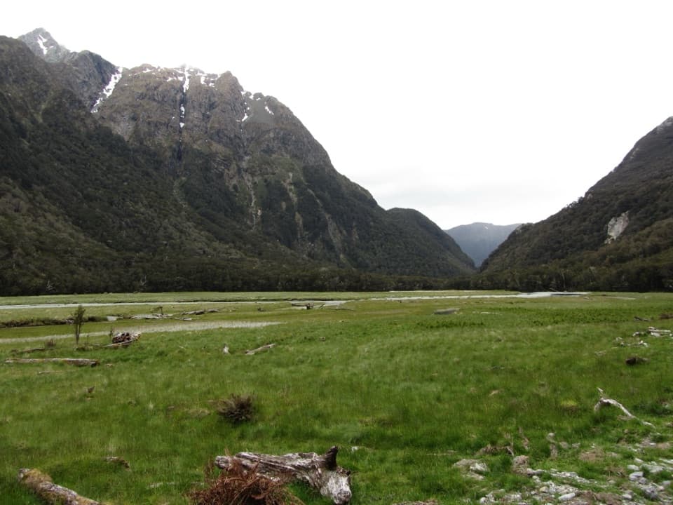
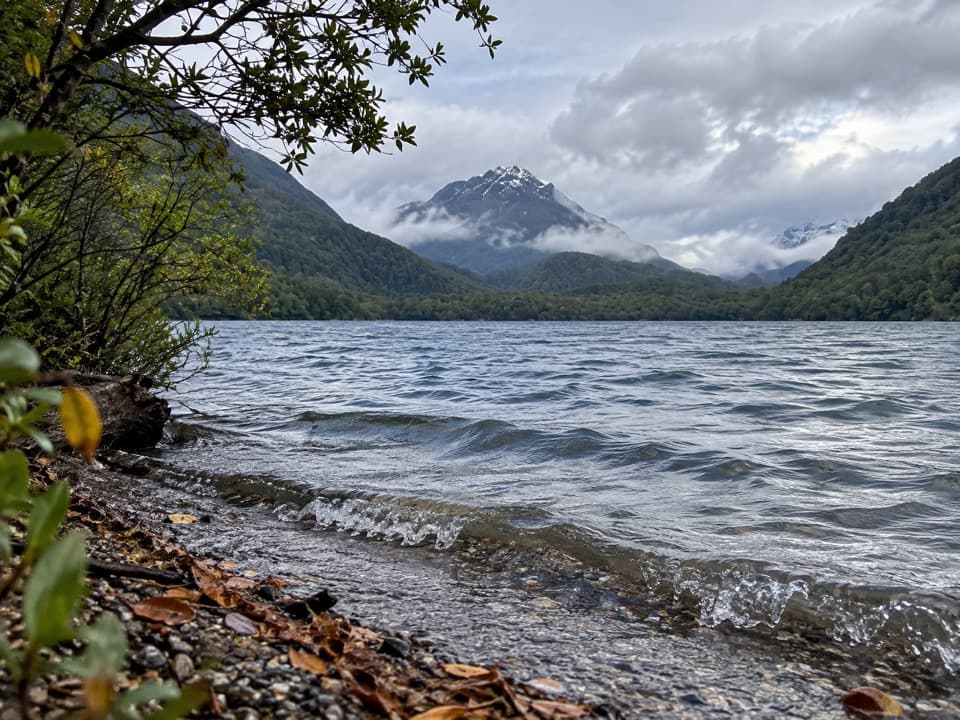
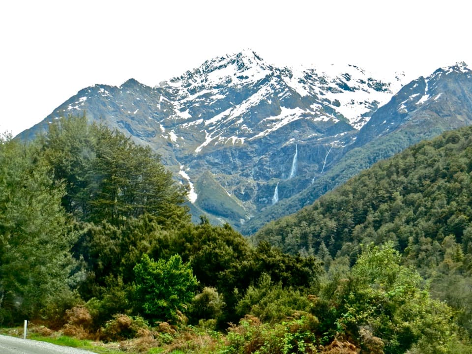
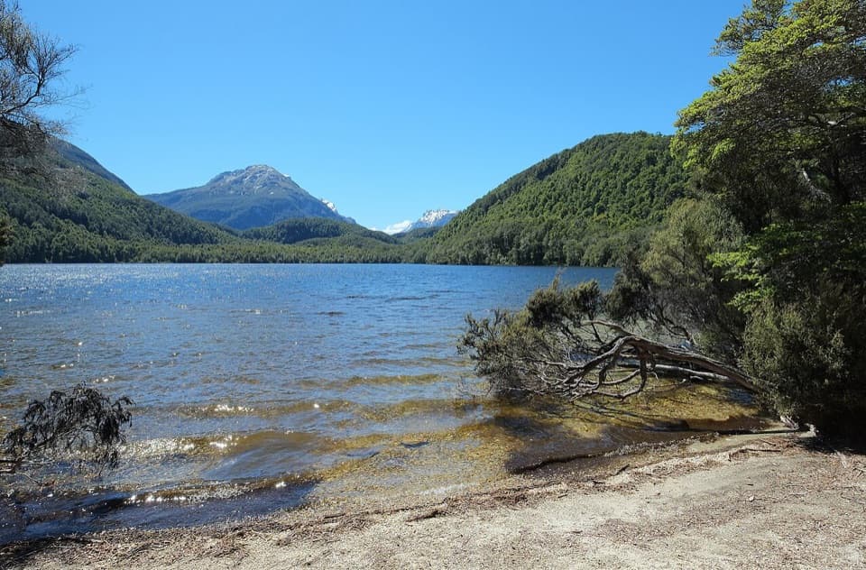
Down low, the track threads bridges over the Route Burn beneath silver beech with glimpses to the Humboldt Mountains and the wide flats. Above treeline the character flips: waterfalls, spear grass, and the striking bowl of Lake Harris. West of the saddle, the traverse along the exposed Hollyford Face feels big‑country. The descent swings past Lake Mackenzie and the 174 m Earland Falls before reentering deep forest toward The Divide. Two worthwhile add‑ons: the Conical Hill spur from Harris Saddle for a grandstand view (skip it if wet), and the short Key Summit side trip near The Divide for a panoramic alpine wetland loop.

Huts and itineraries

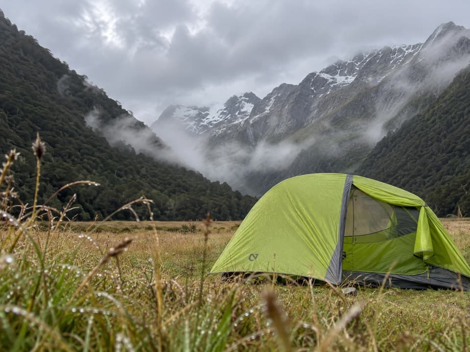
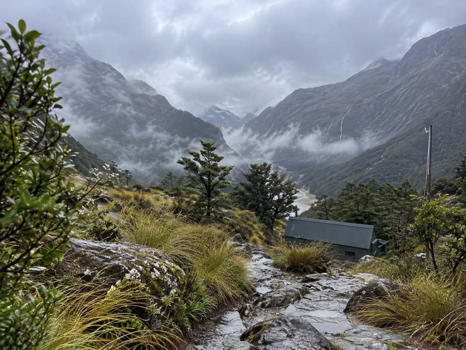
Most hikers take 2–3 days, typically overnighting at Routeburn Falls Hut and Lake Mackenzie Hut; Routeburn Flats Hut is a quieter alternative on night one. Lake Howden Hut is no longer an option after storm damage in February 2020. Facilities in Great Walks season are serviced (bunks, mattresses, heating, toilets, basic cooking facilities, solar lighting, cold running water), but you’ll bring your own food and cookware; campers have separate, more basic amenities and cannot use hut facilities. Day‑walk slices are possible too—think Earland Falls or Key Summit—if you’re short on time.

Best time to hike

The Great Walks season generally runs late October to late April, when the track is maintained and huts are serviced. For the 2025/26 season, bookings are required from November 1, 2025 to April 30, 2026, and peak dates sell out quickly. Outside the season (May–late October), conditions are wintery and serious: snow/ice, avalanche terrain, unbridged streams, reduced hut services, and no gas provided—alpine skills and equipment are essential.

Logistics that make or break the trip

It’s a relocation hike: Routeburn Shelter and The Divide are separated by a 325 km road detour. Plan a shuttle or car relocation and build buffer time—crowds are common in season. You can walk it in either direction; the experience is excellent both ways. If weather turns, the day‑use shelter at Harris Saddle is a strategic place to reassess before committing to the exposed sections.

Hazards and smart tips

This is one of the wettest corners of the Southern Alps, and conditions change fast. Expect anything from mist to driving rain and strong winds; flooding can occur between Routeburn Falls Hut and Harris Saddle, and sections around Earland Falls can be impacted after heavy rain. Parts of the track have steep drop‑offs. There’s no cell coverage. In winter, multiple avalanche paths exist and some bridges may be removed—don’t go without proper training and gear. Help protect waterways: clean gear to avoid spreading didymo.

What you’ll see along the way

Keep an eye out for silver beech forest, alpine tussock and wetland plants above the bushline, and plenty of birdlife—especially around Key Summit’s nature walk. On sunny days the Route Burn’s water is almost unreal in its clarity and color.

Pros

  • Harris Saddle has a day‑use shelter—handy for waiting out bad weather on the exposed high section.
  • Two short side trips (Conical Hill and Key Summit) add huge views without extra logistics.
  • Well‑graded, well‑maintained track makes big alpine scenery accessible to more hikers.

Cons

  • One‑way logistics are awkward: the trailheads are 325 km apart by road and require a shuttle or car relocation.
  • Frequent heavy rain and exposure above the bushline can flood or close sections and shut down views.
  • In‑season hut and campsite bookings sell out quickly, so spontaneity is tough.

Parking

Trailheads are Routeburn Shelter (near Glenorchy) and The Divide (Milford Highway). Most hikers arrange a shuttle or car relocation because the ends are 325 km apart.

Caution

Extremely wet, fast‑changing alpine weather; flooding between Routeburn Falls and Harris Saddle; steep drop‑offs; no cell coverage. Winter brings snow, ice, frequent avalanches, and sometimes removed bridges—alpine skills and gear required. Clean gear to prevent didymo spread.

The Parkwolf tour guide sitting on a phone mounted in a car

Parkwolf Tour Guide

Like a tour guide in your car.

Bring Mount Aspiring trail research into the car, with offline maps and stories that play as you drive.Download Parkwolf on the App Store