
Place · 1.8 mi away
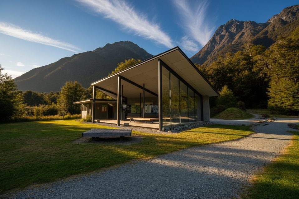
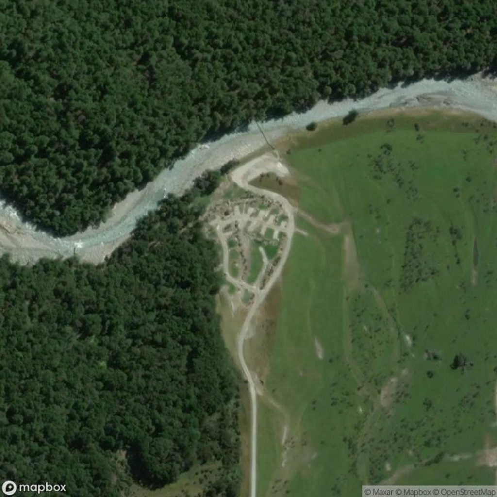
The eastern gateway to the Routeburn Track sits at the very end of the Glenorchy–Routeburn Road. It’s a practical, no-fuss launchpad: big car park, covered shelter with benches, and clear info boards so you can sort your plan before you step onto the trail. The last stretch of road is narrow with a bit of gravel, so take it slow—especially in larger vehicles.
If you just want a taste, the Nature Walk loop begins right from the shelter. Cross the swing bridge, follow the main track for 10–15 minutes, then take the signed left turn. It meanders through red beech forest and rejoins near Sugarloaf Stream; return via the main track. Flat, interpretive, and usually 40–60 minutes total.
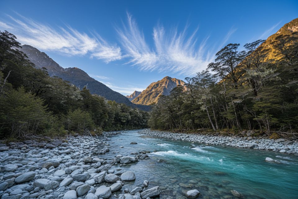
Expect well‑formed trail, river views, and classic beech forest before you break into more open country near the bushline.
This is the standard eastern trailhead for the 33.1 km Routeburn Track. The high point is Harris Saddle/Tarahaka Whakatipu (1,255 m) with around 9 km above the bushline. It’s a true point‑to‑point—if you’re walking the whole track, sort a shuttle or car relocation between trailheads well in advance.
Routeburn weather flips fast: heavy rain, strong winds, and sudden changes are common, even in summer. Start early—many hikers aim to be over the high section before afternoon weather builds. Pack proper rain gear (jacket and pants) and be ready for a wet day.
Place · 1.8 mi away
Place · 1.9 mi away
Place · 2 mi away
Place · 2.3 mi away
Challenging · 0 mi away
Easy · 0 mi away
Moderate · 0 mi away
Easy · 0 mi away

Parkwolf Tour Guide
