Sylvan Campsite in Mount Aspiring National Park

Campground · Mount Aspiring National Park

Sylvan Campsite

A simple riverside base for Lake Sylvan and the Routeburn

Type
Campground
Nearest trail
0.7 km
Audio stories
3 nearby
  • Restrooms
  • Trailhead

Hear the audio tour

Lake Sylvan and the Old Tramline

Overview

About Sylvan Campsite

Why stop

  • Riverside camping close to Lake Sylvan and Routeburn walks

Heads up

  • Basic facilities, with no tank water in winter

Map

Where it is

Loading the Mount Aspiring map
Full map
CampgroundSylvan Campsite-44.73092, 168.31035
Keep this map with you offline in the Parkwolf app

Plan your stop

Before you go

1 active Mount Aspiring alert

  • CautionRob Roy Track: stop at lower lookout during avalanche seasonFrom May through November, end your Rob Roy Track hike at the lower lookout; DOC strongly recommends against continuing to the upper lookout because the track crosses active avalanche paths.Official details

Mount Aspiring alerts
A park ranger sits on a dash-mounted phone, talking, as Parkwolf’s Tour Guide plays “Army Cutworm Moths: A Grizzly Bear Buffet” on Grand Loop Road below Dunraven Pass in Yellowstone
Parkwolf Tour GuideThe highest, rockiest slopes around here are a summer buffet for grizzly bears.

Mount Aspiring Tour Guide

Your drive to Sylvan Campsite, narrated.

Parkwolf is a GPS audio tour guide for Mount Aspiring National Park. As you drive, it chimes in with what’s ahead: hidden gems, upcoming stops, history, geology, and wildlife, right through your car’s speakers.

See the Mount Aspiring audio tour

Recorded for this place

Lake Sylvan and the Old Tramline
0:00 / 0:24
“Lake Sylvan's access road is coming up, for a walk through red beech forest to a small lake. From the car park, allow about forty minutes each way to the viewing platform, with glimpses of Mount Earnslaw across the lake.”

Plays as you drive up to Sylvan Campsite in the Parkwolf Mount Aspiring Tour Guide.

More stories near here in the app

  • The Sugar Behind the Soot
  • Routeburn Shelter: Choose Your Walk
  • The Routeburn's Unfinished Gold Route
  • A Forest Sponge Without Roots
  • 80 audio storiesacross Mount Aspiring’s roads, triggered by GPS as you drive
  • Wildlife heatmapsfor Kea, Rockwren, Yellowhead, and 8 more
  • Works offlinemaps, 50 trails, 52 places, and audio download before you lose signal
  • CarPlay readysimple controls built for the drive
★★★★★
“Fantastic app with many points of information… It’s great to just turn on while you’re driving and it gives you an audio tour of the national Park. We love it!!!!”
JMJamesApp Store review
Download Parkwolf on the App StoreGet Parkwolf on Google Play

4.7 from 8,600+ ratings

Guide

More about Sylvan Campsite

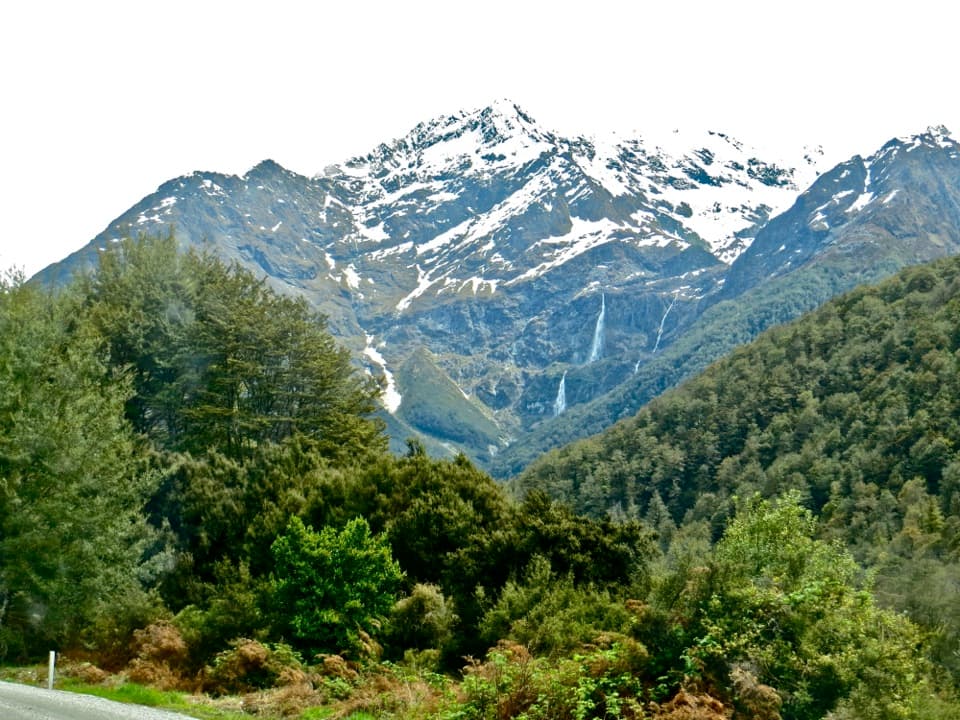
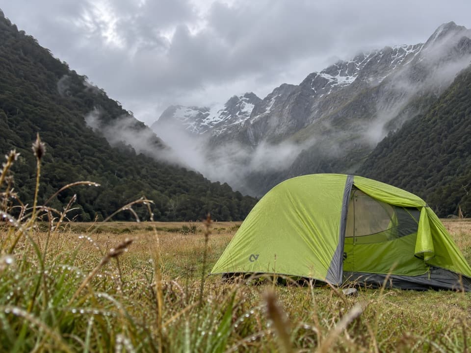
A simple riverside campSylvan is a 24-site, non-powered campground beside the Routeburn River.

Sylvan is a 24-site, non-powered campground beside the Routeburn River. It’s a useful base for Lake Sylvan or a day walk on the start of the Routeburn Great Walk, and you can fly-fish the river. Expect basic facilities: long-drop toilets, no powered sites and no water in the tank during winter, so bring your own then. Book ahead; there are no walk-in spaces, and summer and public-holiday weekends need early planning.

Getting here and setting upFrom Glenorchy, follow Glenorchy–Paradise Road, turn left onto Priory Road, then right onto…

From Glenorchy, follow Glenorchy–Paradise Road, turn left onto Priory Road, then right onto Kinloch–Routeburn Road. The road becomes gravel after the Dart River bridge. The campsite can flood in heavy rain; avoid camping under trees. Fires aren’t allowed.

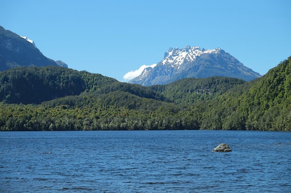
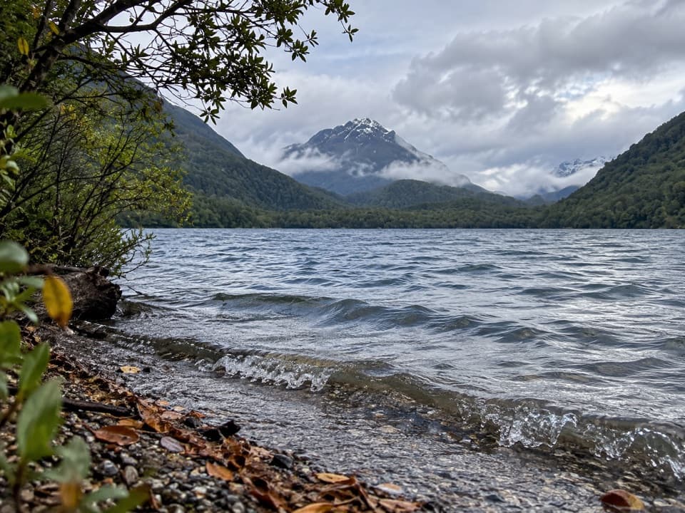
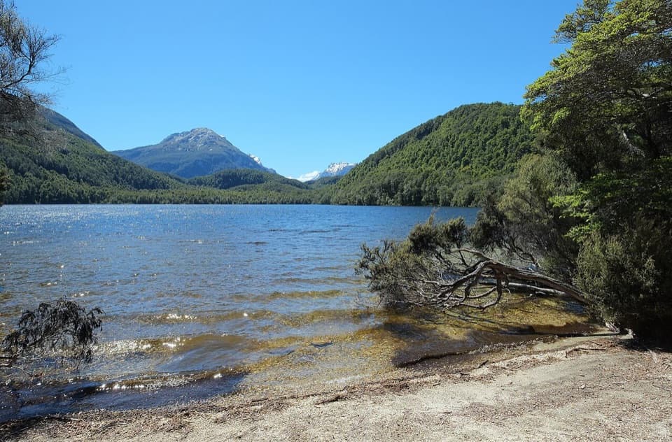
Walk to Lake SylvanThe Lake Sylvan Track starts nearby and takes about 40 minutes one way to its viewing platform.

The Lake Sylvan Track starts nearby and takes about 40 minutes one way to its viewing platform. It passes old moraine river terraces and tall red beech forest, with glimpses of Mt Earnslaw / Pikirakatahi from the platform. A longer return loop follows a 1920s tramline route.

Wildlife

Wildlife in Mount Aspiring

All Mount Aspiring wildlife maps

Sighting maps show where each species has been reported across Mount Aspiring. Wildlife moves, so no sighting is guaranteed.

Parkwolf’s Mount Aspiring ranking

Top sights in Mount Aspiring

All 52 places
  1. 1Mount Aspiring / TititeaSight
  2. 2Blue PoolsSight
  3. 3Rob Roy GlacierSight
  4. 4Thunder Creek FallsSight
  5. 5Fantail FallsSight
  6. 6Routeburn FallsSight

Take Parkwolf to Mount Aspiring.

The audio tour guide for the drive, plus offline maps, trails, and wildlife heatmaps for when the signal drops.

4.7 from 8,600+ ratings

Download Parkwolf on the App StoreGet Parkwolf on Google Play