
Place · 0.8 mi away
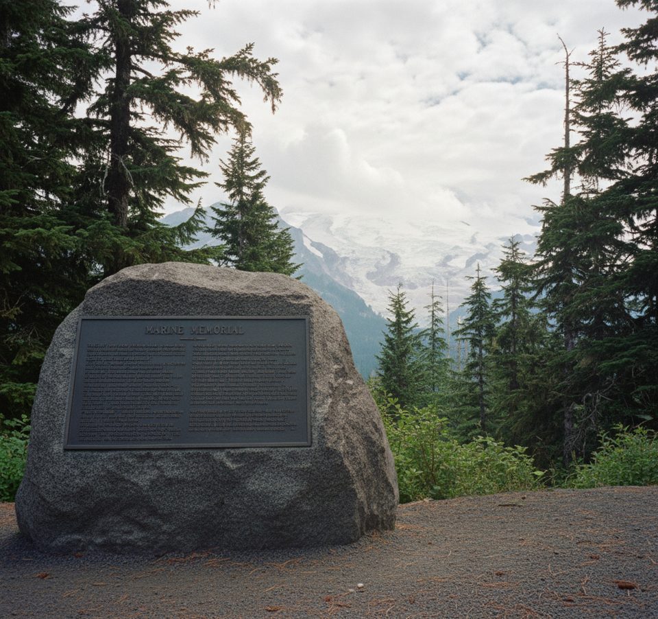
A solemn boulder-and-bronze memorial near Round Pass honors 32 U.S. Marines who died when their transport struck the South Tahoma Glacier on December 10, 1946. Their remains were never recovered, and this site serves as a quiet place of remembrance in the forest.
Reach it via the Westside Road corridor from the Nisqually side. The road washed out in the mid‑1990s, so you’ll park at the Dry Creek area and continue on foot or by bike for about 3.8 miles one way to the memorial. In winter, the route is closed to vehicles but can be accessed by snowshoe or skis.
The memorial is a large natural boulder with an inset plaque listing the Marines’ names. On clear days, you’ll catch distant looks toward the South Tahoma Glacier—the crash site—amid a tranquil, often empty forest setting.
The aircraft, a Curtiss Commando transport, disappeared in foul weather. Wreckage was spotted the following summer on the South Tahoma Glacier, but extremely hazardous conditions prevented recovery. The memorial at Round Pass was established to honor the fallen, whose final resting place remains on the mountain.
This west-side forest supports typical Cascades wildlife—deer, squirrels, and birds are common, with occasional black bear or elk sightings. Keep your distance and give animals the right of way.
Plan for summer and early fall (roughly May–November) when Westside Road is typically open to the Dry Creek parking area and travel is straightforward. The site is lightly visited year‑round; crowding isn’t usually an issue. Winter access requires snow travel and additional preparation.
There are no services at the memorial—no water, restrooms, or shelter—so come self‑sufficient. Signage is limited; carry a map or GPS and let someone know your plans. If hiking isn’t in the cards, a replica memorial stands in Veterans Memorial Park in Enumclaw, created for those unable to reach the original.
Place · 0.8 mi away
Place · 0.9 mi away
Place · 1 mi away
Place · 2.2 mi away
Moderate · 0 mi away
Challenging · 1.8 mi away
Challenging · 2.4 mi away
Challenging · 2.4 mi away

Parkwolf Tour Guide
