
Place · 0 mi away
Moderate
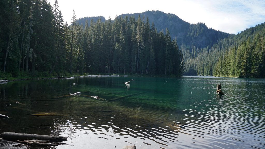
If you’re after a peaceful subalpine lake without elbow‑to‑elbow crowds, Lake George delivers. The catch: most of the mileage is a decommissioned road walk on Westside Road. From the gate, it’s roughly 4.6–4.8 miles one way to the lake (about 9 miles round‑trip), with around 980–1,500 feet of total gain. The final 0.8–0.9 miles are on singletrack through old‑growth forest—easily the best part of the approach.
You’ll start up Westside Road (closed to vehicles beyond the lower gate in summer), following gentle grades to Round Pass. From there, the signed Lake George Trail climbs steadily but not steeply through cool Douglas‑fir and hemlock forest to the lake. In summer, keep an eye out for avalanche lilies and glacier lilies along the understory.
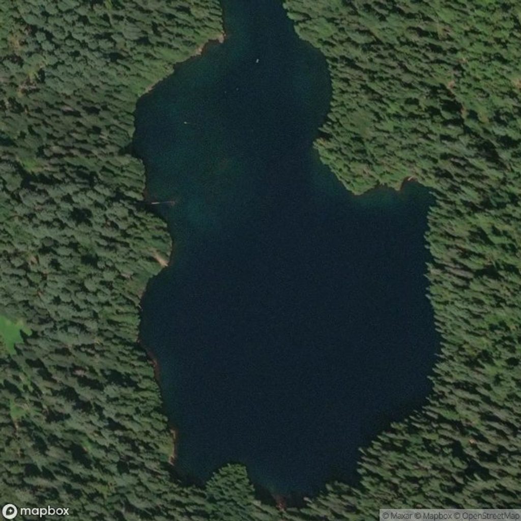
Lake George itself is a pretty, blue‑green pool tucked beneath the shoulder of Mount Wow. It’s quiet and feels far from the front‑country bustle. On the shore you’ll find a historic ranger patrol cabin (not open) and a three‑sided hiker shelter. With a permit, you can camp at one of five sites (plus a group site), and there’s a backcountry toilet.
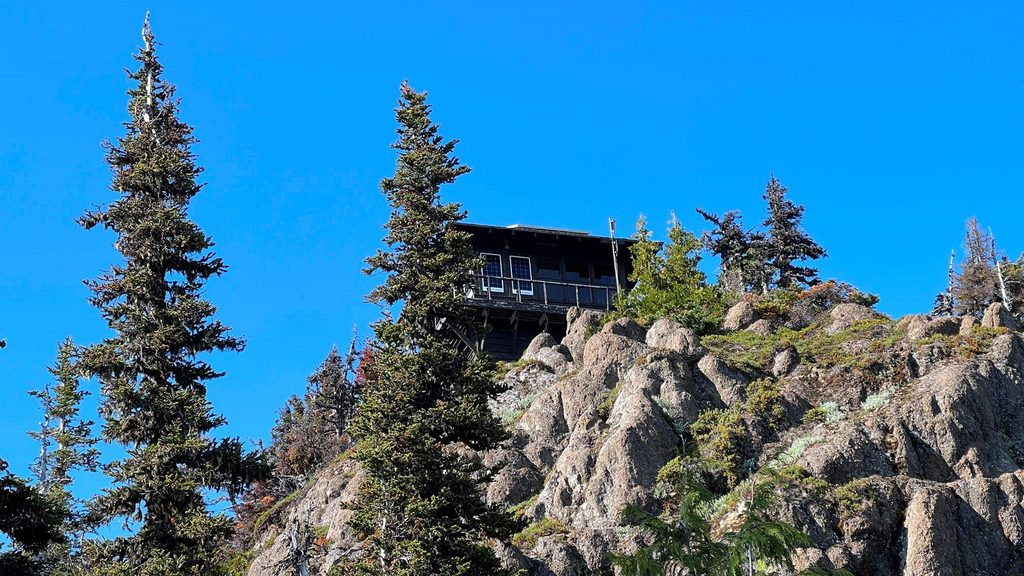
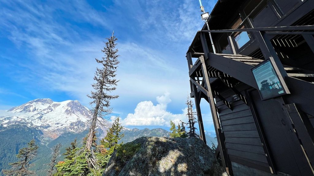
Have more gas in the tank? From the lake, a steeper mile of switchbacks leads to Gobblers Knob Fire Lookout, where the payoff is huge: panoramic views of Mount Rainier’s southwest face, the Tahoma Glacier, and even distant volcanoes like Mount St. Helens and Mount Adams on clear days.
Mid‑July through late September (sometimes into October) is the sweet spot. Snow lingers late here and returns early, and seasonal washouts can affect small log bridges—always check current conditions before committing. July brings the best wildflower show at lower elevations; summer also offers the most reliable access for camping at the lake.
You’re walking classic Rainier volcanic terrain carved by ice, with glacially sculpted valleys and ridges framing the basin. The historic patrol cabin by the lake is a tangible slice of the park’s backcountry ranger history—worth a look before you settle in for lunch on the shore.
Park at the Westside Road closure gate near Dry Creek; walk or bike about 3.8 miles to Round Pass to pick up the Lake George Trail.
Snow lingers into summer and small log bridges can wash out; the approach is a long gravel road walk—bring a map and check current conditions. No dogs.
Place · 0 mi away
Place · 0.8 mi away
Place · 0.9 mi away
Place · 1 mi away
Challenging · 1.7 mi away
Challenging · 2.4 mi away
Challenging · 2.4 mi away
Challenging · 5.2 mi away

Parkwolf Tour Guide
