
Place · 0.3 mi away
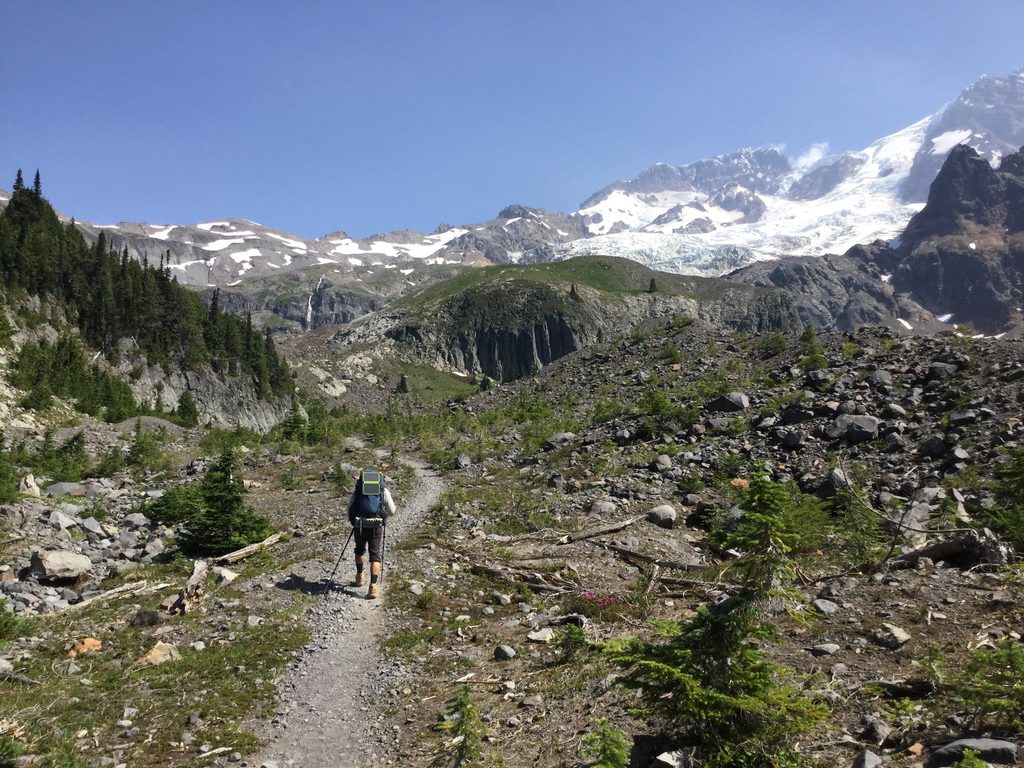
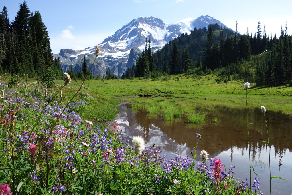
Emerald Ridge earns its name with vivid, high meadows and a striking, off-angle look at the mountain’s rugged west face. From the crest, you get close, dramatic views of the Tahoma and South Tahoma Glaciers and broad panoramas over the Tahoma Creek valley. It’s a packs-off kind of place—quiet, wild, and far less trafficked than the park’s marquee viewpoints.
This corner of the park is a living geology lesson. Along the South Puyallup Trail, watch for the striking andesite columns known as the Colonnades—hexagonal pillars formed by ancient volcanic activity. The valleys below are continually reshaped by glacial outburst floods from the South Tahoma Glacier, which have repeatedly sent debris flows down Tahoma Creek, altering roads and trails and explaining today’s access realities. From the crest of Emerald Ridge along the Wonderland Trail, you have one of the park’s best vantage points for the Tahoma Glacier.
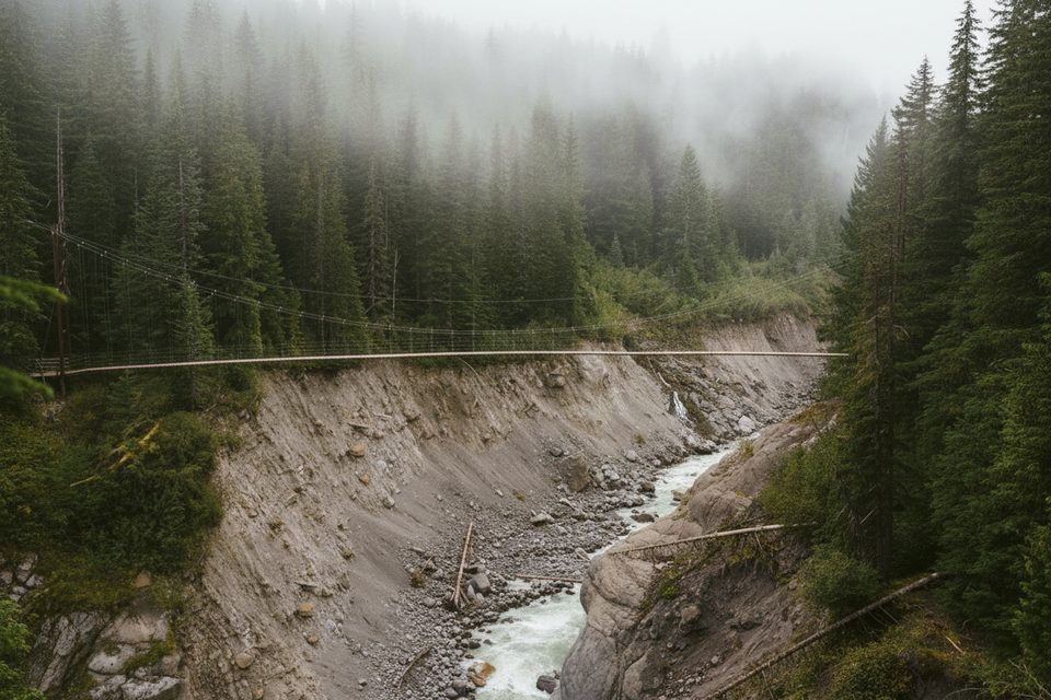
The usual approach begins on West Side Road, which is closed to vehicles beyond about three miles from its junction with the Nisqually–Paradise Road—so plan on added mileage before you even hit true trail. Many hikers link the Tahoma Creek Suspension Bridge with Emerald Ridge and return via the South Puyallup Trail for a rewarding loop. When you turn west on the South Puyallup Trail, keep an eye out for the Colonnades.
Expect a long day with a stout climb and a few rough, rubbly stretches. The descent from Emerald Ridge is notoriously loose—the loosest on the route—so take it slow. The Tahoma Creek route is mercurial; high water or recent flood activity can change conditions and require careful route-finding.
Alpine birds and grouse frequent the meadows, and you may hear or spot marmots in rocky patches. As always, give wildlife space and protect fragile meadow vegetation by staying on durable surfaces.
Mid to late summer brings the most reliable access and the best wildflower displays. Aim for weekdays and an early start to keep the day manageable and enjoy quieter meadows. For photography, softer light in early morning or late afternoon brings out texture in the glaciers and meadows.
Strong day hikers and photographers who value solitude, wildflower meadows, and big glacier views. If you’re after a short, easy viewpoint, this isn’t it; if you want a wild, west-side classic, it delivers.
Place · 0.3 mi away
Place · 1.2 mi away
Place · 1.3 mi away
Place · 1.7 mi away
Moderate · 2.2 mi away
Challenging · 2.6 mi away
Challenging · 3.1 mi away
Challenging · 3.1 mi away

Parkwolf Tour Guide
