
Place · 0 mi away
Challenging
If you’re chasing solitude and subalpine meadows over crowds and convenience, this one’s your jam. The St. Andrews Creek Trail climbs steadily via long, forgiving switchbacks from Westside Road to Klapatche Park, meeting the Wonderland Trail at the top. It’s 2.6 miles one way (5.2 miles out-and-back) for the trail segment itself—scenic, quiet, and rewarding.
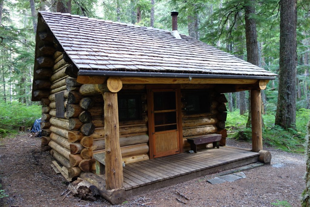
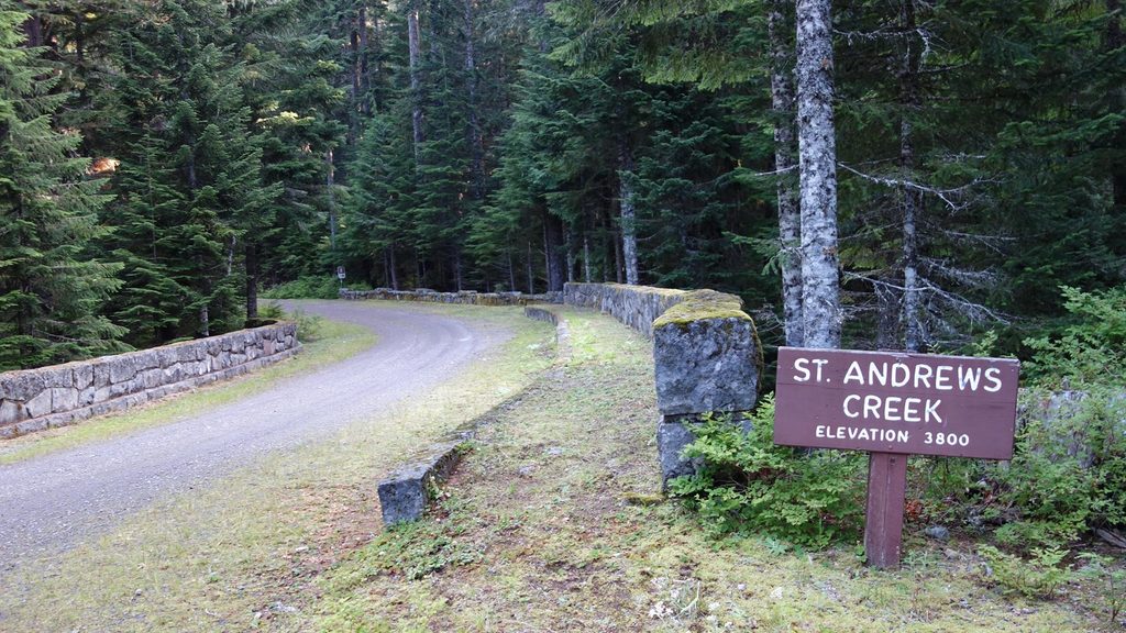
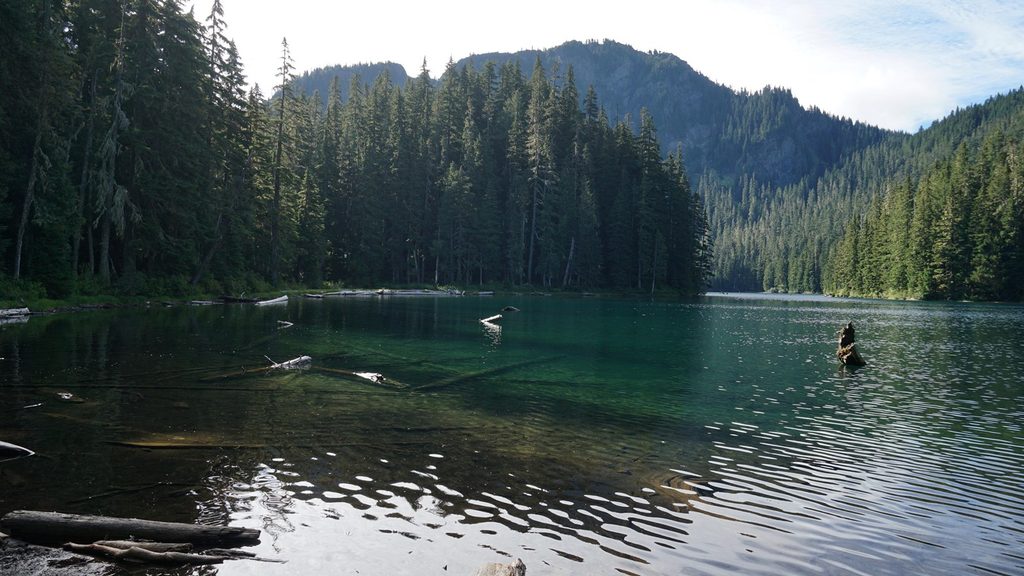
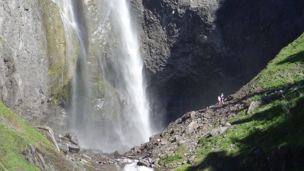
Right at the St. Andrews Creek bridge, you’ve got a tidy sampler platter: the historic St. Andrews Ranger/Patrol Cabin near the start, a rock bridge over the creek, and a quick 0.3‑mile loop to a Denman Falls viewpoint on the west side of the bridge. The main trail begins on the east side, then grinds pleasantly up a forested ridge before breaking into subalpine meadows in Klapatche Park, where it joins the Wonderland Trail. From that junction, strong hikers often tack on nearby alpine features like St. Andrews Lake when conditions allow.
The catch: most of the day’s work is simply reaching the trailhead. In summer, only the first few miles of Westside Road are open to vehicles, with parking at Dry Creek. From there, it’s typically a 7–8 mile hike or bike up the closed road to the St. Andrews Creek bridge. There’s a bike rack at the trailhead—lock up and switch to boots. The trail itself is generally in good shape, though early season can bring lingering snow and occasional downed trees higher up. No pets, no services.
Plan for the summer window. Snow often lingers into early season at higher elevations, and by late fall the high country can turn wintry—ice and frozen lakes aren’t unusual. If you’re shoulder‑season curious, bring traction and conservative judgment. Winter travel here isn’t maintained; some folks use Westside Road for snowshoe or ski approaches, but that turns this into a major undertaking.
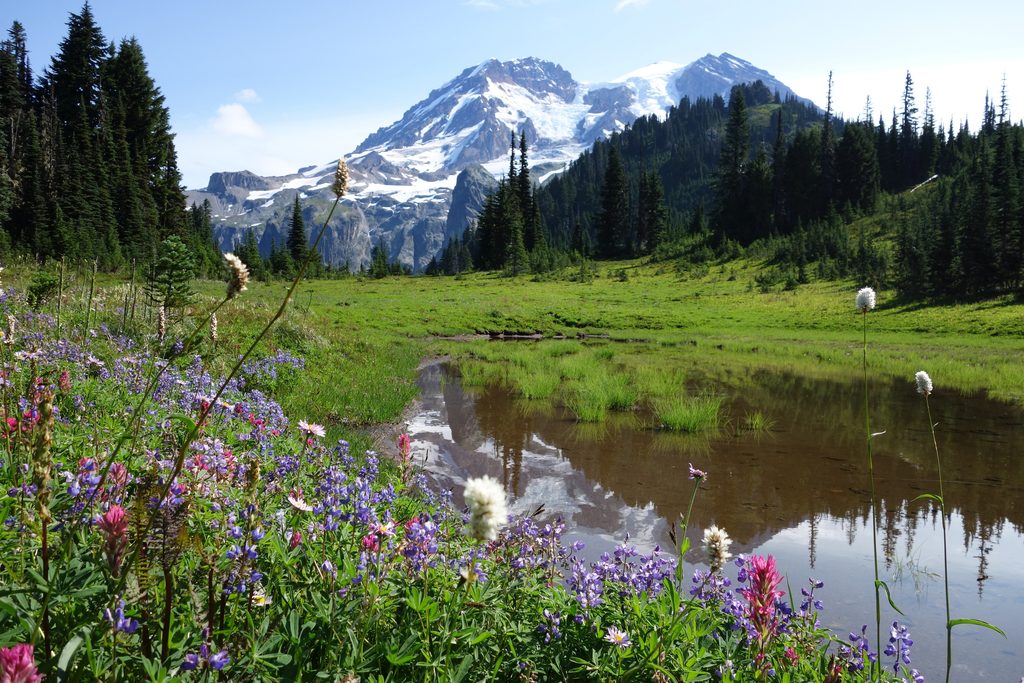
Expect a classic west‑side Rainier climb: cool forest, steady switchbacks, then big‑sky meadows dotted with summer wildflowers at Klapatche Park. You’ll likely have more quiet than almost anywhere with this kind of payoff. Water is available from flowing creeks—treat everything.
This route is fantastic if you want a quieter backcountry experience and don’t mind earning it with a long road approach. If you’re after quick-hit vistas or have limited time, look elsewhere; the approach alone can dwarf the actual trail mileage unless you bring a bike.
Park at Dry Creek at the end of the drivable section of Westside Road (summer). Then hike or bike 7–8 miles up the closed road to the St. Andrews Creek bridge; a bike rack is at the trailhead.
Westside Road has rockfall hazard zones—move quickly through signed areas. No services at trailhead; no pets. Snow and downed trees possible early season; bikes allowed on the road only, not on the trail.
Place · 0 mi away
Place · 2.4 mi away
Place · 2.9 mi away
Place · 3 mi away
Challenging · 0 mi away
Moderate · 2.4 mi away
Challenging · 4.1 mi away
Challenging · 6.6 mi away

Parkwolf Tour Guide
