
All Mount Rainier places
87 places
 1Reflection LakesA mountain reflection with a rocky loop to Faraway Rock.
 2Myrtle FallsThe falls and Rainier share a frame worth descending for.
 3Panorama PointTwo miles uphill opens onto Rainier, the Tatoosh Range and volcanoes.
 4Narada FallsRoadside waterfall views with a short, steep path to the lower pool.
 5Tipsoo LakeA short loop, wildflowers, and a chance at Rainier's reflection.
 Henry M. Jackson Memorial Visitor CenterStart a Paradise visit with ranger advice and Rainier in view.
 6Sunrise Point OverlookA broad Cascade panorama from the bend of a lava ridge.
 Sunrise Visitor CenterA historic alpine trail hub with glacier exhibits and Rainier views.
 7Silver FallsA 60-foot drop and a footbridge in an old-growth gorge.
 8Christine FallsThe stone arch frames the lower falls from a short downhill path.
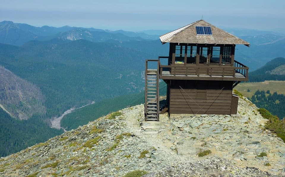 9Mount Fremont Fire LookoutA long ridge hike to a 1934 wooden fire lookout.
 Paradise InnA grand timber lodge with a 14-foot clock and trail access.
 10Grove of the PatriarchsOld-growth conifers on a small island in the Ohanapecosh River
 11Inspiration PointA no-hike Rainier view framed by a century of park-road history.
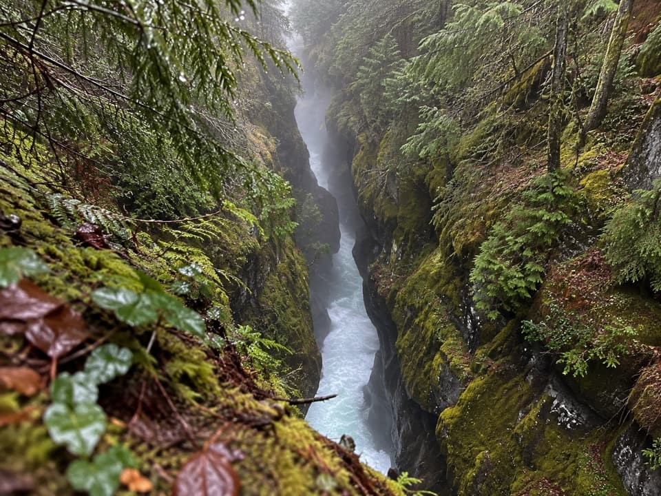 12Box CanyonThe river squeezes through a 13-foot slot in the granite.
 13Comet FallsA waterfall over 300 feet high rewards the steep creekside climb.
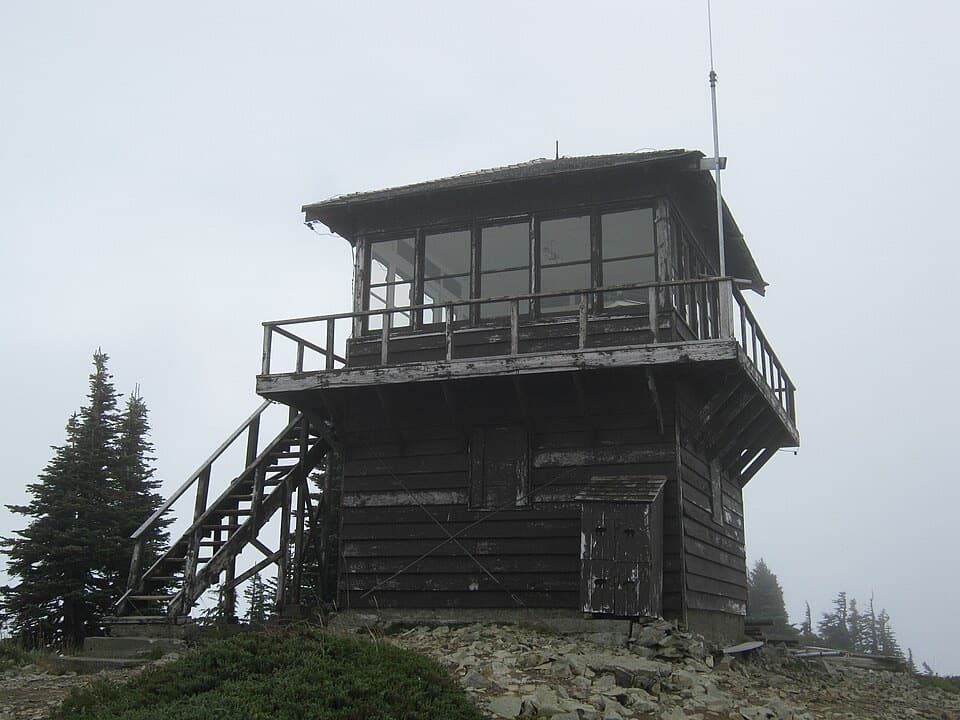 14Tolmie Peak Fire LookoutRainier rises above Eunice Lake from this historic lookout's rocky perch.
 15Mowich LakeA wooded island, clear water, and trails into the quiet corner.
 16Spray FallsA 354-foot veil spills over lava into a boulder-filled gorge.
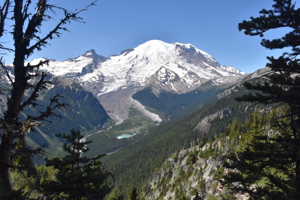 17Emmons Vista OverlooksA short meadow walk to Rainier’s biggest glacier.
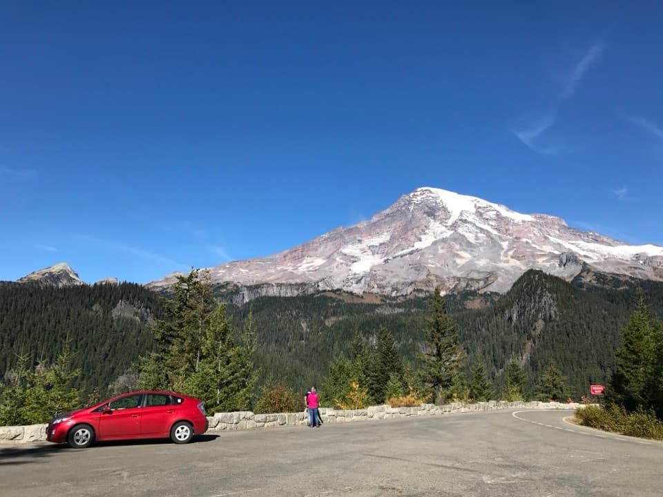 18Ricksecker PointA one-third-mile loop pairs Rainier views with glacial geology.
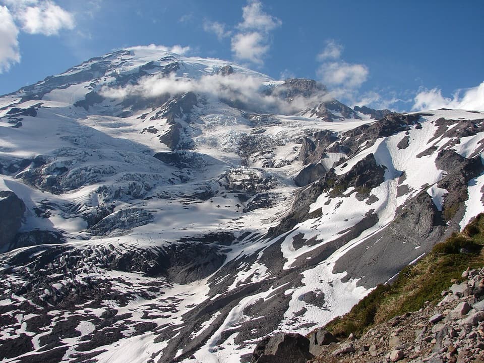 19Glacier VistaA close view of Nisqually Glacier rewards the Paradise climb.
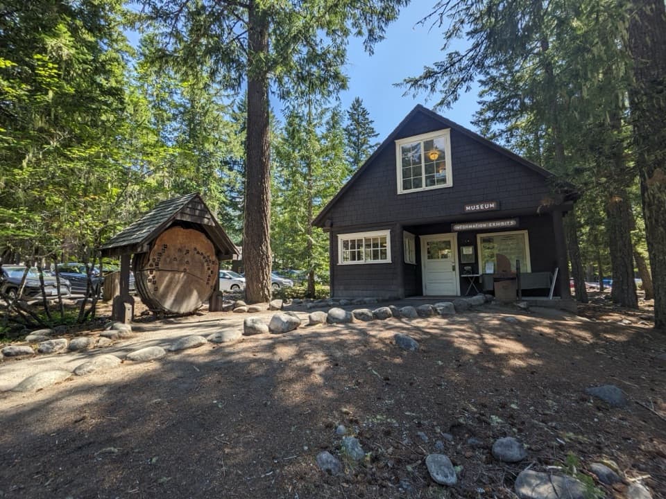 20Longmire MuseumOne historic room, a mountain lion, and the park’s early story
 21Nisqually VistaA clear day makes the Nisqually Glacier worth the short walk.
 National Park InnYear-round historic lodging in Longmire with a porch view of Rainier.
 22Camp MuirHistoric stone shelters mark the edge of a demanding summit route.
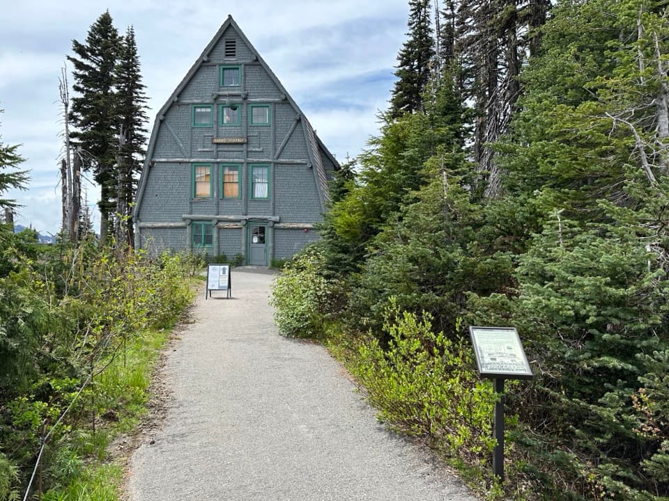 Paradise Wilderness Information CenterGet climbing help where summit attempts have begun since 1922.
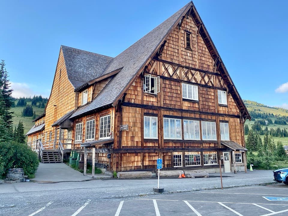 Sunrise Day LodgeA 1931 timber lodge for coffee or ice cream after a hike.
 Ohanapecosh Visitor CenterTrail advice and deep local history under old-growth trees.
 Longmire General StoreA 1911 log shop for snacks and trail supplies.
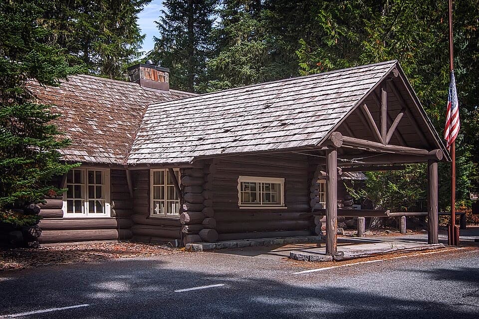 White River Wilderness Information CenterGet permits, maps, and trail advice before heading toward Sunrise.
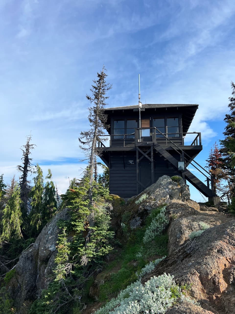 23Gobblers Knob Fire LookoutA 1933 lookout above Lake George, reached by a long, steep hike.
 24Chinook Entrance ArchA 90-foot CCC gateway doubles as a Pacific Crest Trail crossing.
 25Longmire Mineral SpringsRead the landscape through bubbles, mineral stains and a resort past.
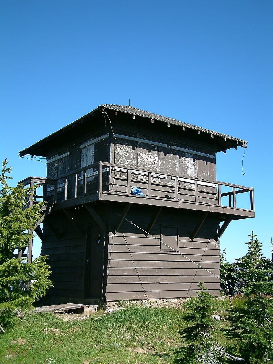 26Shriner Peak Fire LookoutA 1932 lookout caps a steep hike to Rainier’s southeast panorama.
 27Sunrise Road White River ViewRainier and Adams rise above the White River Valley on Sunrise Road.
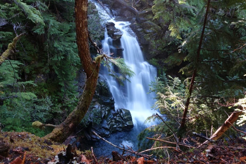 28Carter FallsCross a log bridge for Rainier views before the forest waterfall
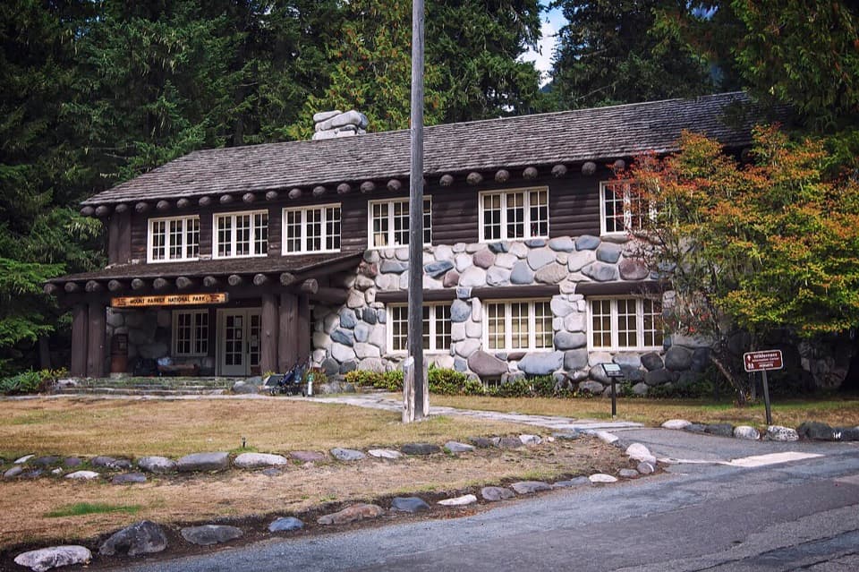 Longmire Wilderness Information CenterPermits and ranger advice in Longmire’s historic log-and-stone building.
 Copper Creek Inn RestaurantBlackberry pie and a meal stop just outside the park entrance.
 Nisqually EntranceA cedar-log gateway with a century of park history.
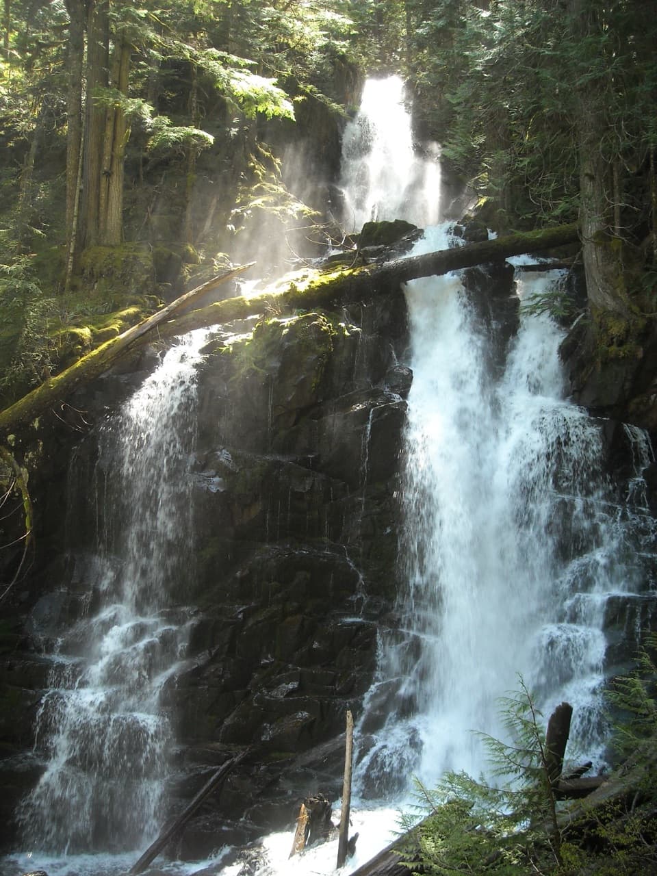 29Ranger FallsThree tiers of falling water reward a long Green Lake walk.
 30Backbone RidgeA roadside stop for Rainier and Tatoosh views when skies cooperate.
 Carbon River Ranger StationRanger help and permits from a remodeled farmhouse.
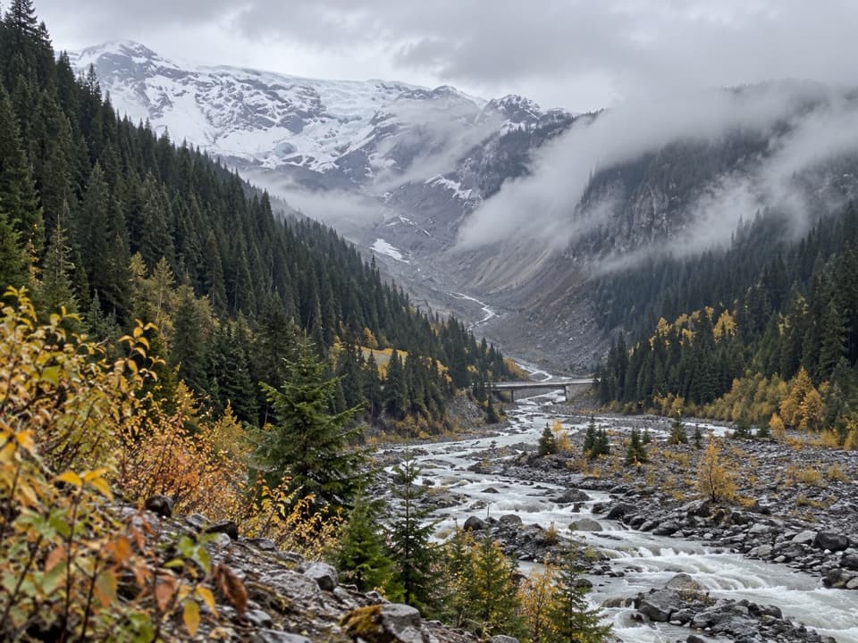 31Glacier BridgeA quick pause above the Nisqually River and its glacier-carved valley.
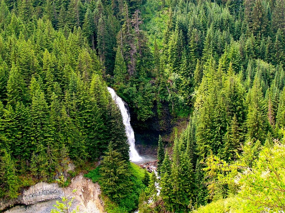 32Martha FallsA quick roadside waterfall view in Stevens Canyon.
 33Kautz CreekA short boardwalk to a mountain overlook and a glacier flood story.
 34Ruby FallsA two-tier cascade hides beneath the bridge, just above Narada Falls.
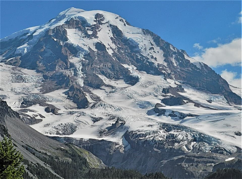 35Eagle Cliff ViewpointFirst big Rainier-and-glacier view on the Spray Park trail.
 36Nisqually Suspension BridgeA historic timber bridge over the Nisqually, with Rainier in view.
 37Sunrise Road Columnar Rock FormationA roadside close-up of ancient lava columns and a glacier-built ridge.
 38Indian Henry’s Patrol CabinA century-old patrol cabin in a meadow backed by Mount Rainier
 39Van Trump FallsThree tiers and a footbridge break up the climb toward Comet Falls.
 40Chenuis FallsA 168-foot cascade at the end of a long riverside walk.
 41Valor MemorialEight basalt columns honor four people who died while helping others.
 42Ohanapecosh FallsTwo drops, a footbridge, and a long walk into the forest.
 43Longmire Community Building ViewpointA glacier-fed river, a 1927 park building, and a strong Rainier view.
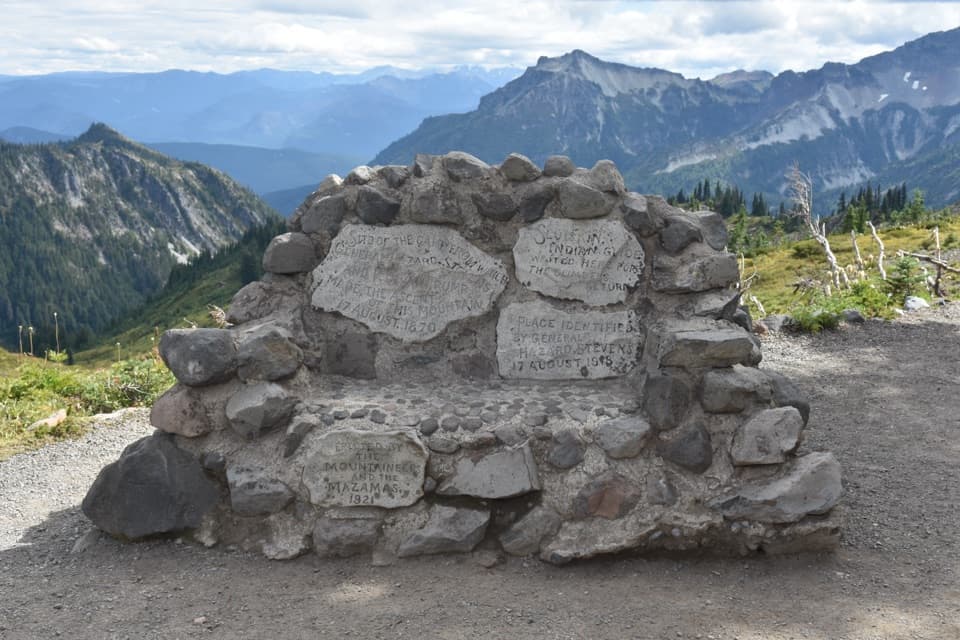 44Stevens–Van Trump MonumentA carved stone bench marks Rainier's first documented ascent.
 45Ipsut FallsA two-tier waterfall at the end of a long forest approach.
 46Deer Creek FallsA short downhill walk to a 60-foot gorge waterfall.
 47Madcap FallsA 34-foot cascade on a short spur beyond Carter Falls.
 Cougar Rock CampgroundA forested base with the Wonderland Trail across the road.
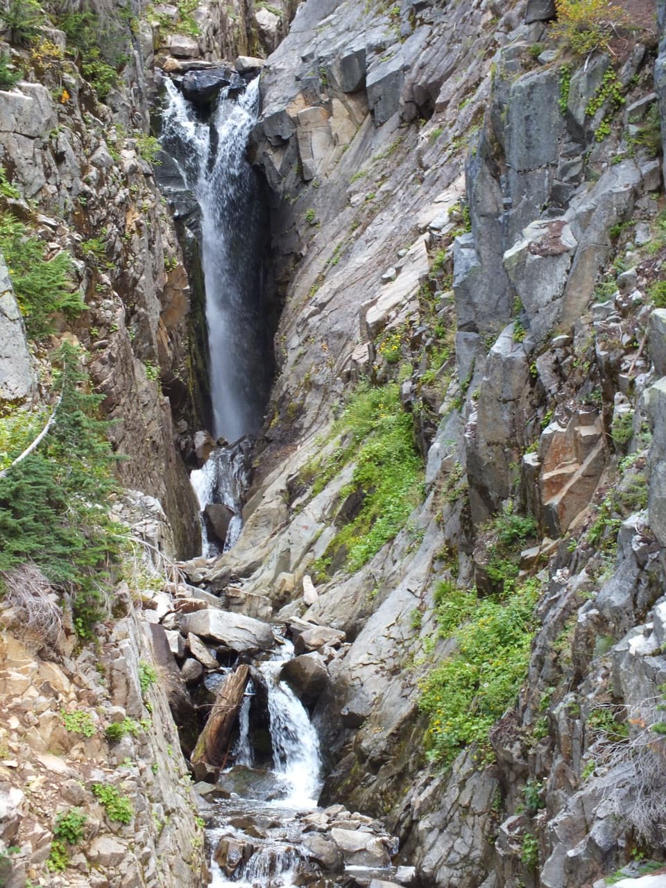 48Edith Gorge FallsA short roadside stop for Edith Creek's steep, narrow gorge.
 49Stafford FallsA blue-green waterfall hike with a steep climb back to the road.
 White River CampgroundSunrise-area hikes start right from this wooded riverside camp.
 Paradise Picnic AreaA laid-back lunch among 100-plus tables, with Rainier views on clear days.
 50Denman FallsA forest-wrapped, 140-foot plunge on St. Andrews Creek.
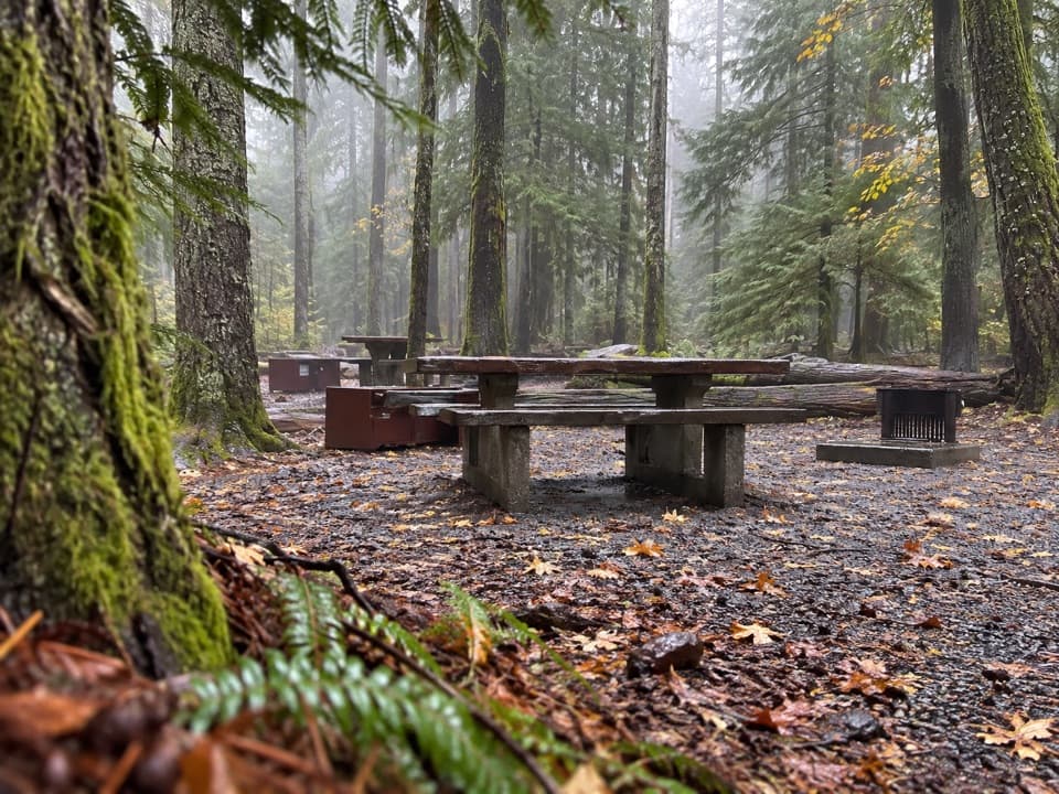 Ohanapecosh CampgroundOld-growth shade, river access, and hikes right from camp.
 Stevens Canyon EntranceGet a map before setting out on the cross-park road.
 Marine MemorialA sobering memorial to 32 Marines, 3.8 miles from Dry Creek.
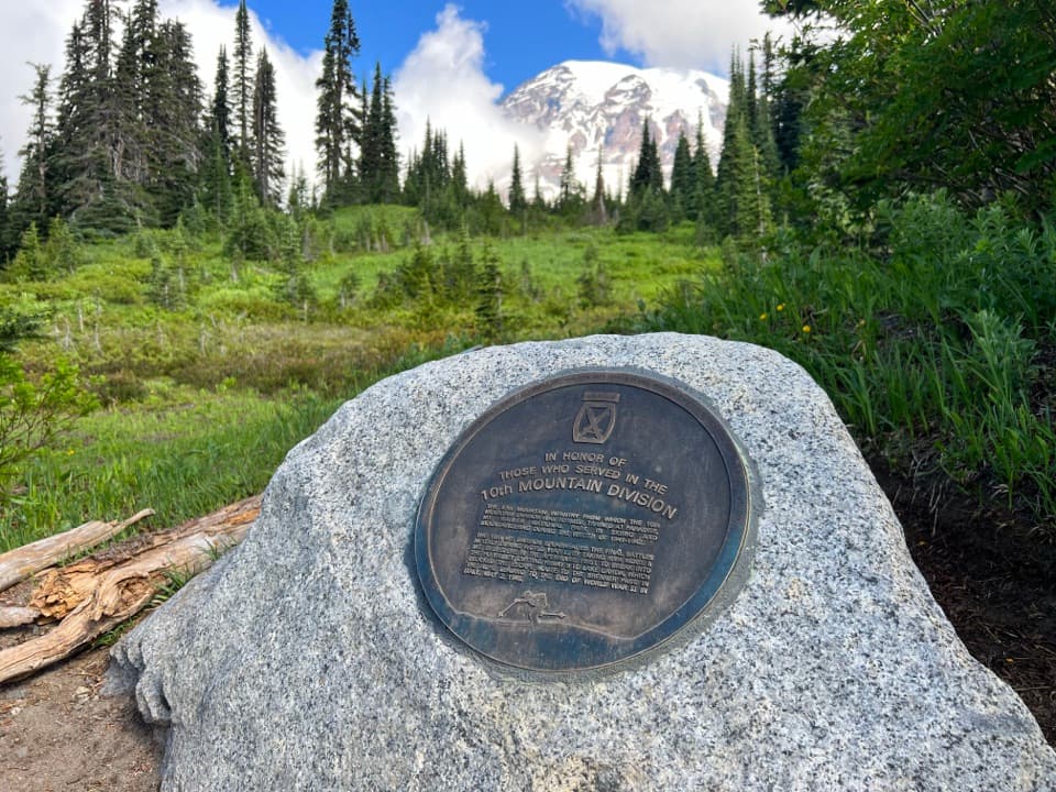 10th Mountain Division MemorialA small memorial to the 10th Mountain Division at Paradise.
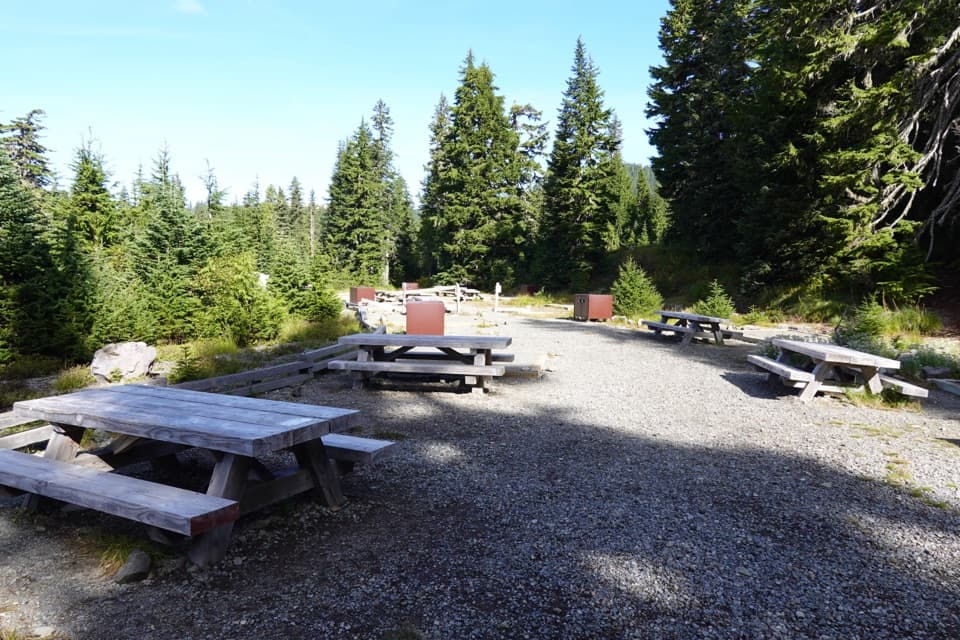 Mowich Lake CampgroundPrimitive lake camp, with Spray Park and Tolmie Peak nearby.
 Cougar Rock Picnic AreaA handy forest picnic stop, with grills and more than 30 tables.
 Ipsut Creek CampgroundA backcountry camp that takes a 19-mile hike from Sunrise.
 Sunrise Picnic AreaPack a lunch for a tree-lined picnic with clear-day Rainier views.
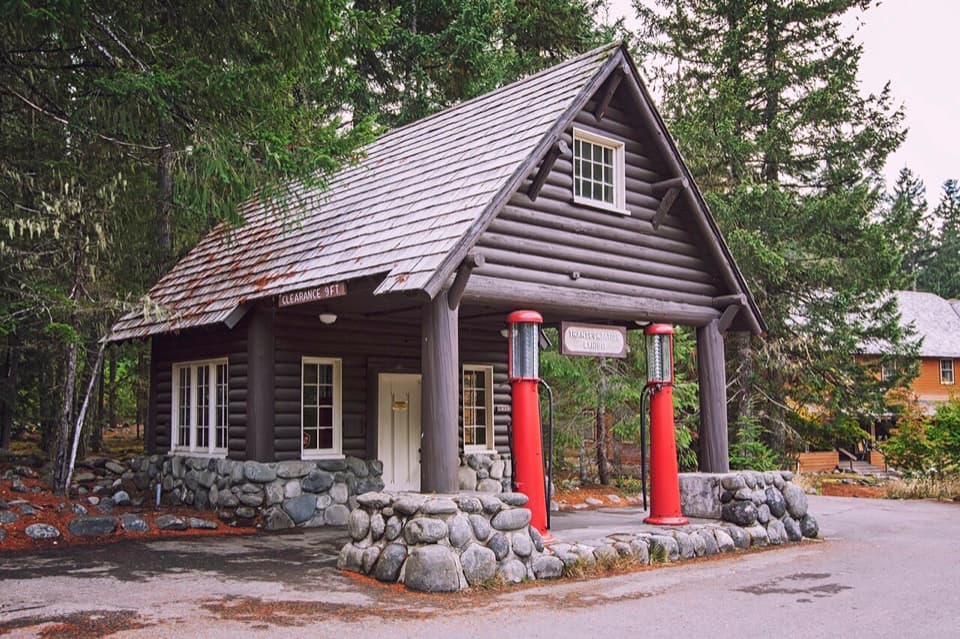 51Longmire Service StationA 1929 roadside station turned into a park travel-history exhibit.
 52Sylvia FallsA 43-foot fan of water folded into a narrow canyon.
 53Klapatche PointLong road walk or bike ride to a remote west-side viewpoint.
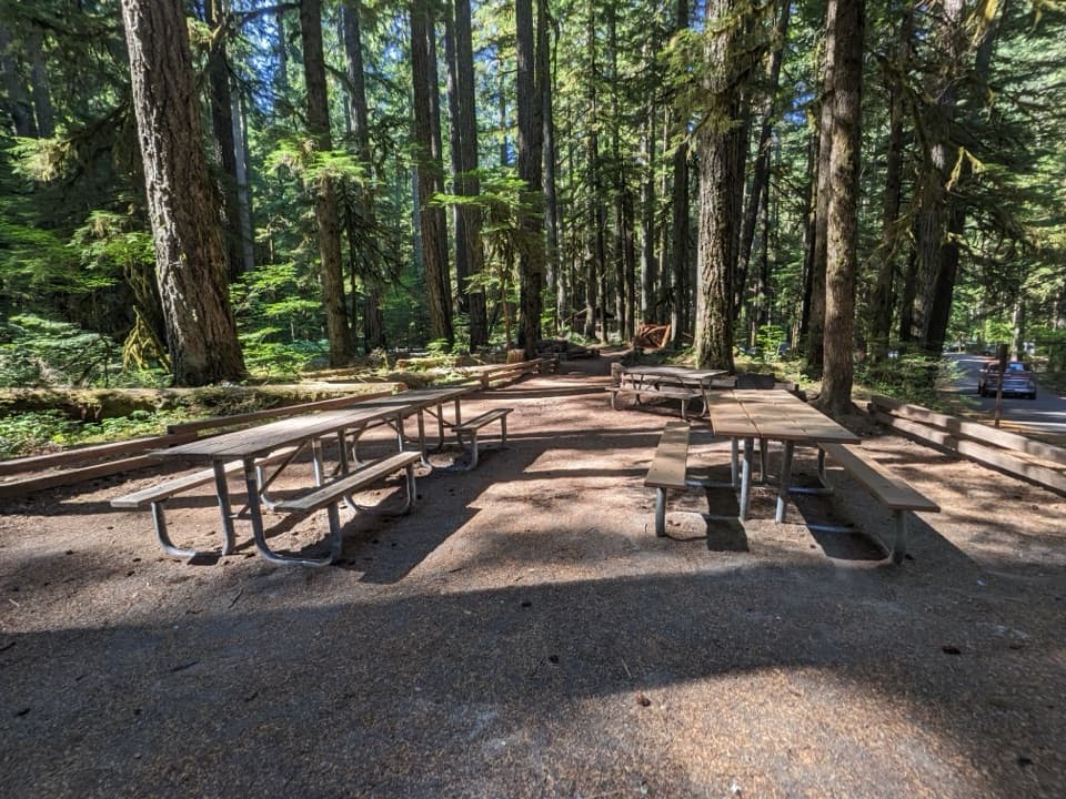 Ohanapecosh Picnic AreaEight tables and grills in the old-growth Ohanapecosh forest.
 White River Picnic AreaA wooded meal stop with eight grills and nearby trail access.
 54Carbon River Old MineA fern-framed mine entrance from Rainier’s short mining boom.
 55White River Patrol CabinA 500-foot walk to the White River area's oldest cabin.
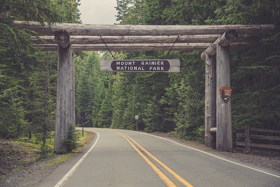 56SR 410 North Entrance ArchA cedar-log gateway on Rainier's northeast approach.
 57SR 123 South Entrance ArchA cedar-log gateway added decades after the road opened.
 58Elcaine Longmire CabinA small 1888 cabin from Longmire’s early settlement.
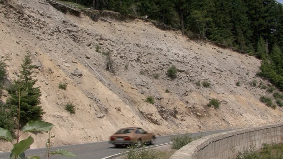 59Sunrise Road PulloutA roadside geology stop for Rainier's volcanic layers and mudflow deposits.60Longmire Transportation ExhibitRoad history told inside a landmark gas station
 61Paradise Ski-Tow PowerhouseA little A-frame recalls Paradise’s lift-served ski years.

The highest, rockiest slopes around here are a summer buffet for grizzly bears.
Mount Rainier Tour Guide
Mount Rainier, narrated.
Parkwolf is a GPS audio tour guide for Mount Rainier National Park. As you drive, it chimes in with what’s ahead: hidden gems, upcoming stops, history, geology, and wildlife, right through your car’s speakers.
See the Mount Rainier audio tourRecorded for this place
Reflection Lakes: A Quick Mountain View0:00 / 0:32
“Reflection Lakes is coming up beside Stevens Canyon Road.”
Plays as you drive up to Reflection Lakes in the Parkwolf Mount Rainier Tour Guide.
More stories near here in the app
- Inspiration Point: A View Without a Hike
- Ruby Falls: Beneath the Bridge
- Narada Falls: The Lower View
- Bench and Snow Lakes: Two Hours on Foot
- 77 audio storiesacross Mount Rainier’s roads, triggered by GPS as you drive
- Wildlife heatmapsfor Mountain Goat, Black Bear, Wolverine, and 13 more
- Works offlinemaps, 99 trails, 87 places, and audio download before you lose signal
- CarPlay readysimple controls built for the drive
“Fantastic app with many points of information… It’s great to just turn on while you’re driving and it gives you an audio tour of the national Park. We love it!!!!”

