
Place · 0 mi away
Easy
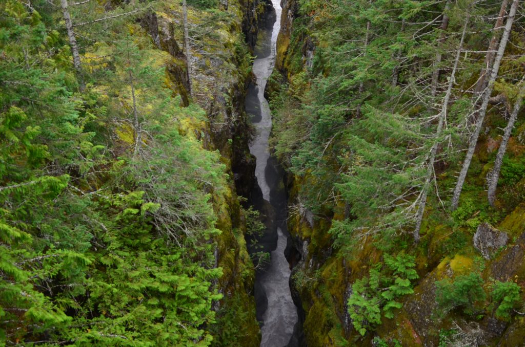
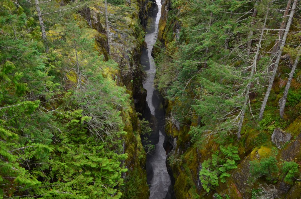
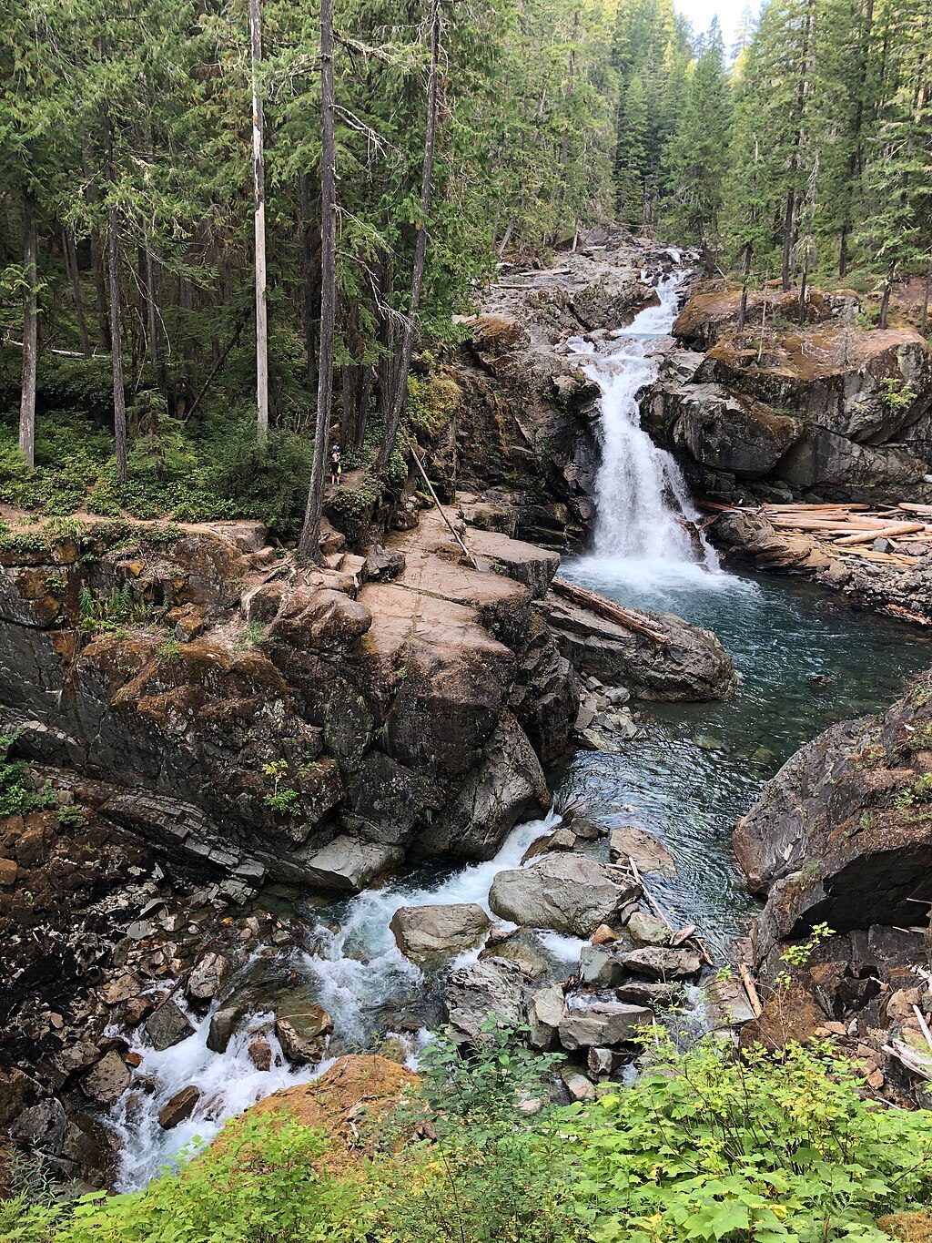
This is a quick, high‑reward stop: a 0.5‑mile total paved loop that traces the rim of Box Canyon, where the Muddy Fork of the Cowlitz River roars 180 feet below. Expect big drama for minimal effort—bridges, sheer walls, and glacially polished rock—packed into a leg‑stretcher you can do in 15–30 minutes.
Most folks start from the roadside parking along Stevens Canyon Road and head counter‑clockwise. The east side of the loop runs along open rim with rounded, exposed bedrock showing fine glacial striations. A wooden footbridge spans the canyon at its narrowest, most photogenic point—take your time here and look straight down to the rushing, milky water (the color comes from suspended glacial silt). From the bridge, the path returns through dense forest to close the loop back near the road. Vantage points from both the road bridge and the wooden footbridge give different perspectives of the chasm.
It’s easy and short, but not completely flat. The path is paved throughout; the west side includes steps, so it’s not fully step‑free. Expect minimal elevation change overall.
Box Canyon is a textbook narrow gorge carved by persistent river erosion. Along the east rim, the bedrock is smoothed and scratched by past glacial movement—visible striations that make the geology feel hands‑on.
There’s a parking area with restrooms right at the loop. A picnic area sits just west of the nearby tunnel, making this an easy roadside pause between bigger stops. The Wonderland Trail crosses Stevens Canyon Road nearby, so you’ll see day‑hikers mingling with backpackers.
Go when Stevens Canyon Road is open and snow‑free—typically late spring through early fall. Mornings or late afternoons offer softer light into the canyon and thinner crowds. On clear days, you can catch a distant view of Mount Adams from the parking area.
Families, photographers, and geology nerds will love how much scenery you get for almost no effort. If you’re looking for mileage or solitude, this is more viewpoint walk than hike—treat it as a memorable stop rather than a destination ramble.
Pets aren’t allowed. No camping here. Stay on pavement and be mindful near the rim—there’s a lot of exposure just off the path.
Park at the Box Canyon pullout on Stevens Canyon Road; restrooms are at the lot.
Deep canyon edges are close to the path in spots; supervise kids. West‑side stairs and paved surfaces can be slick when wet.
Place · 0 mi away
Place · 2 mi away
Place · 2.8 mi away
Place · 3 mi away
Challenging · 0 mi away
Easy · 3.5 mi away
Moderate · 3.5 mi away
Easy · 3.8 mi away

Parkwolf Tour Guide
