Challenging

Cowlitz Divide Trail

Long ridge walk with meadows, berries, and Rainier-to-Adams views
Cowlitz Divide Trail, Mount Rainier National Park
Distance14 mi
Typical time8 hr
DifficultyChallenging
PetsNot allowed

Overview

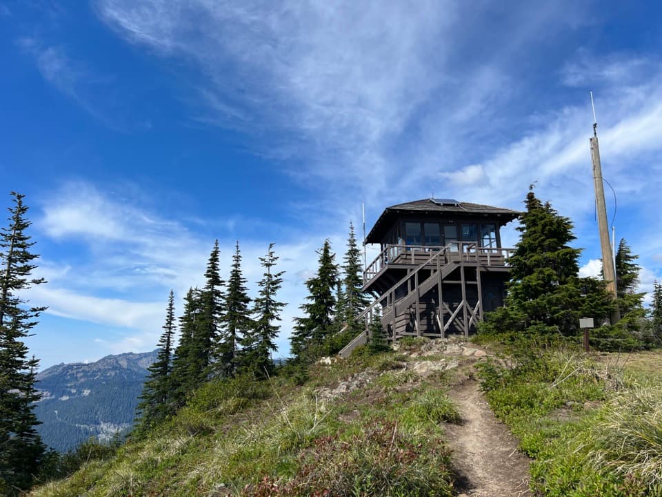
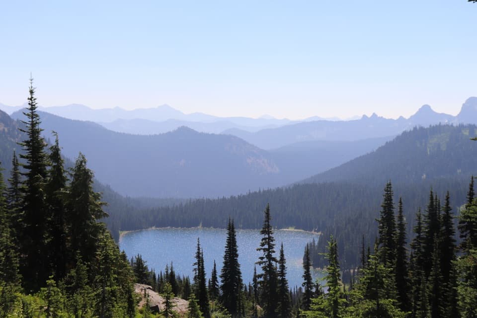
This strenuous ridge hike climbs from Box Canyon on Stevens Canyon Road to the airy crest of the Cowlitz Divide, traveling a celebrated stretch of the historic Wonderland Trail. Expect a sustained ascent from lush old-growth forest to open subalpine meadows with sweeping views of Mount Rainier, Mount Adams, Goat Rocks, and the Cowlitz River valley. Typical day hikers make this an out-and-back of about 12–15 miles total to a high knoll on the divide; strong parties can push farther toward Indian Bar for a bigger day approaching 16 miles total.

Route and Distance

Start at the Box Canyon parking area and look for the signed gravel trail directly across the road—don’t get lured onto the short paved nature trail. The path follows the Wonderland Trail past Nickel Creek, then climbs steadily to the Cowlitz Divide. Distance varies by turnaround point: figure roughly 11.8–15 miles round trip to the ridge high spots, or continue down toward Indian Bar for a longer day. Elevation gain runs about 2,850–3,700 feet, topping out near 5,900 feet on the divide.

What You’ll See

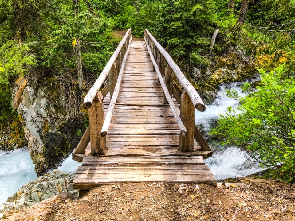
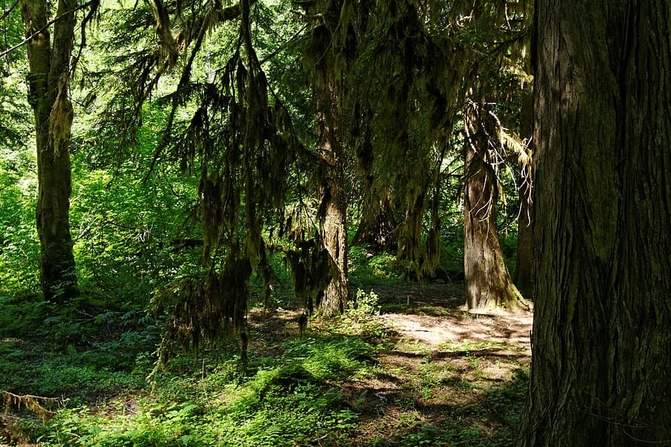
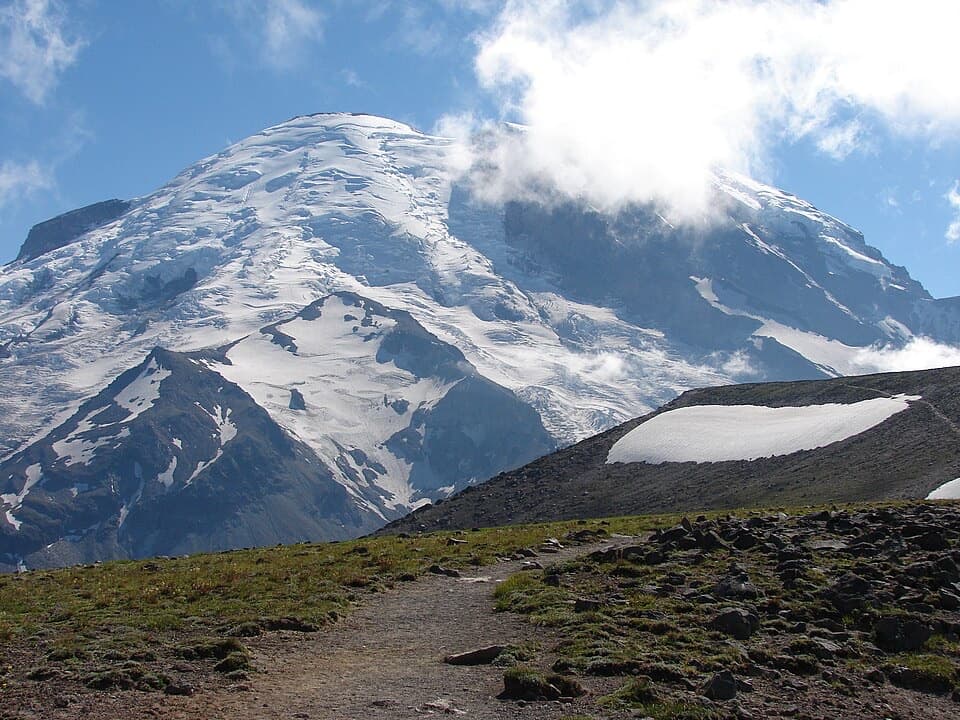
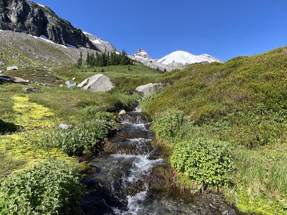
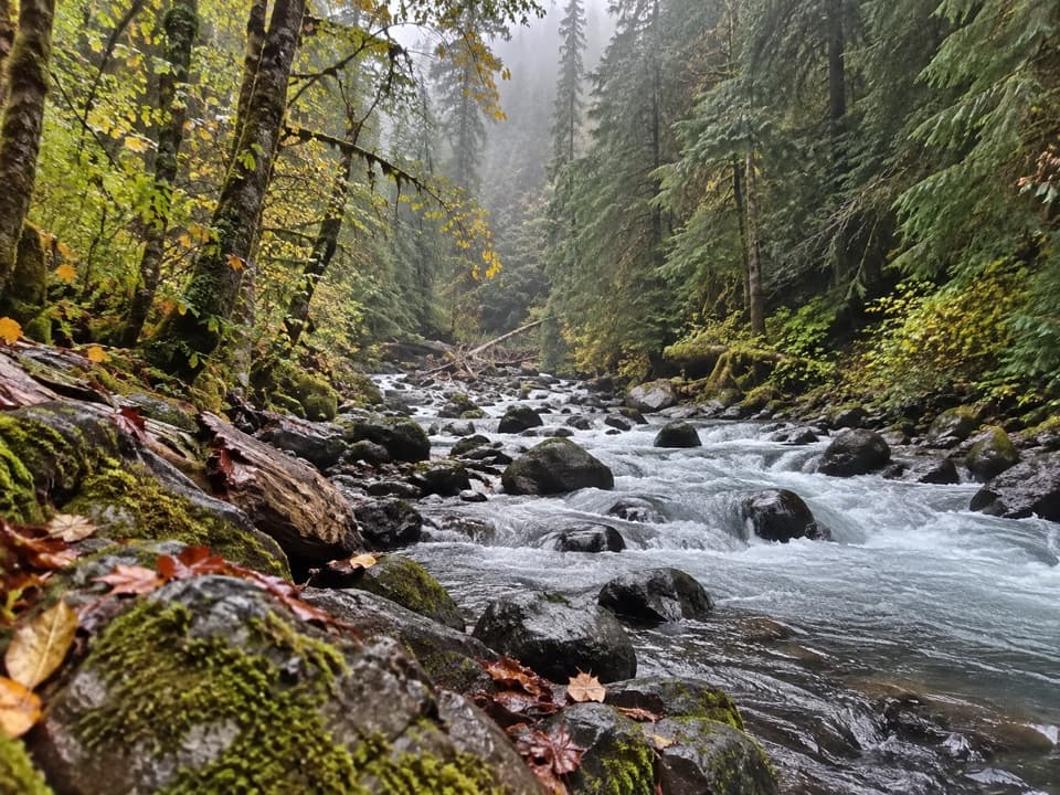
The opening miles wind through cool, mossy old-growth before breaking into sunny meadows and a classic high ridge walk with 360-degree panoramas. In late July and August, wildflowers are the star; by late summer, berry bushes lure both hikers and black bears. Wildlife sightings can include hoary marmots and deer. The geology is quintessential Rainier: glacially carved valleys, volcanic bedrock, and broad subalpine basins. Ambitious hikers can continue toward Indian Bar—an iconic green valley with river and falls—though doing the full out-and-back in a day is a big commitment.

Trail Experience and Difficulty

This is a workout. The grade is steady from the forested approach to the open ridge, and exposure to sun and wind increases as you gain the divide. Views are huge, solitude is better than many drive-up viewpoints, and the meadows make the effort feel worthwhile. If you’re chasing scenery with less commitment, consider turning around at the first high knoll on the divide rather than dropping toward Indian Bar.

Water, Camping, and Logistics

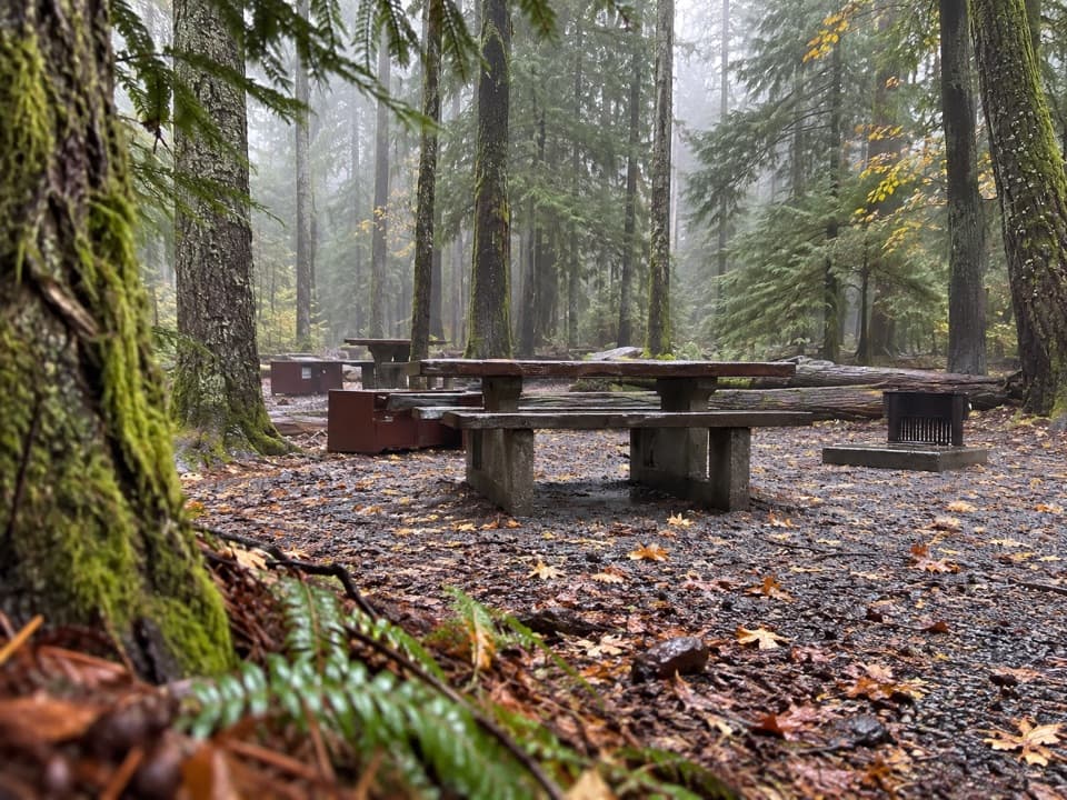
Nickel Creek (about a mile in) is the last reliable water until Indian Bar—tank up there and carry enough for the ridge. Olallie Creek Camp (around 2.7 miles in) offers a permitted backcountry option to split the trip, and Indian Bar has a popular backcountry camp as well. Day hiking does not require a wilderness permit, but any overnight stay does. The trail is not wheelchair accessible.

Best Times to Hike

The snow-free window typically runs mid-July through early October. Wildflowers peak late July to early August; berry season is mid-August into early September. Go on a clear day to cash in the views, start early to beat afternoon weather and maximize daylight, and bring layers—conditions change fast on the ridge.

Tips and Tricks

  • Take the signed gravel trail across from the Box Canyon lot to get on the right route.
  • Carry plenty of water after Nickel Creek; there’s little to none on the divide.
  • Expect bears feeding on berries later in summer; make noise and give wildlife space.
  • Check current conditions before you go; seasonal washouts and snow can affect travel.
  • If you’re eyeing Indian Bar, consider an overnight permit rather than a rushed day.

Pros

  • Length and elevation can be tailored: turn at a high knoll or continue toward Indian Bar
  • Reliable early water at Nickel Creek before a dry, view-filled ridge

Cons

  • Little to no water on the ridge after Nickel Creek means carrying a heavy load
  • Big descent toward Indian Bar makes the return climb punishing on a day trip

Parking

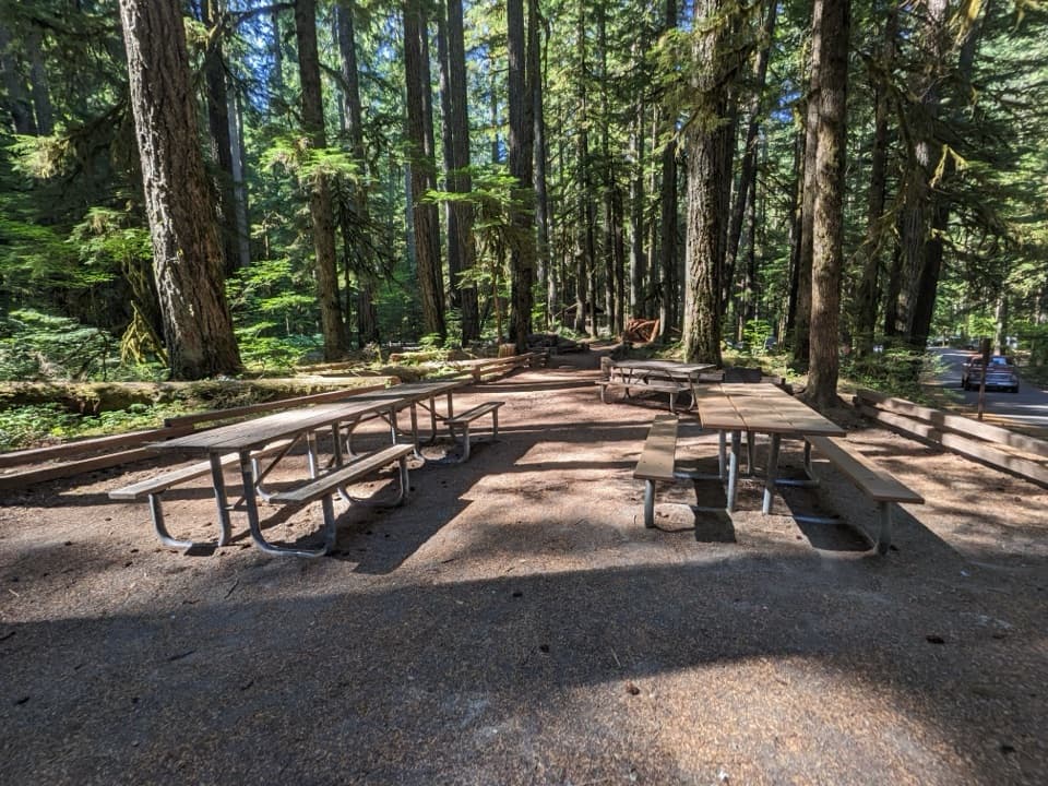
Park at the Box Canyon lot on Stevens Canyon Road; the signed gravel trail across the road is the start. Do not take the short paved nature trail.

Caution

Long, committing ridge with little shade and scarce water after Nickel Creek; bears are active during berry season; snow can linger into July—check conditions and carry layers.

The Parkwolf tour guide sitting on a phone mounted in a car

Parkwolf Tour Guide

Like a tour guide in your car.

Bring Mount Rainier trail research into the car, with offline maps and stories that play as you drive.Download Parkwolf on the App Store