
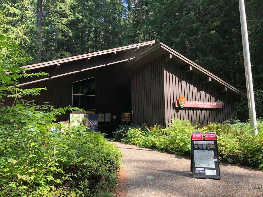
Place · 0 mi away
Easy
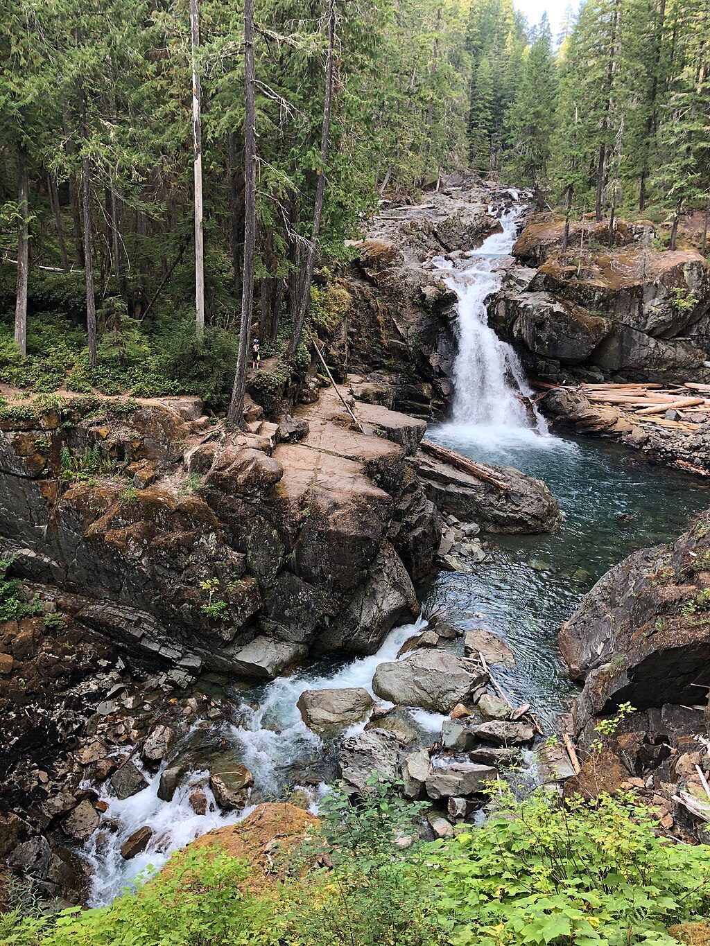
This is Mount Rainier’s quintessential easy waterfall-and-river walk: a roughly 2.7–3.0 mile total loop with 300–500 feet of gain. Plan 1.5–2 hours at a relaxed pace. It’s family-friendly, well maintained, and starts by the Ohanapecosh Campground/Visitor Center in the park’s southeast corner.
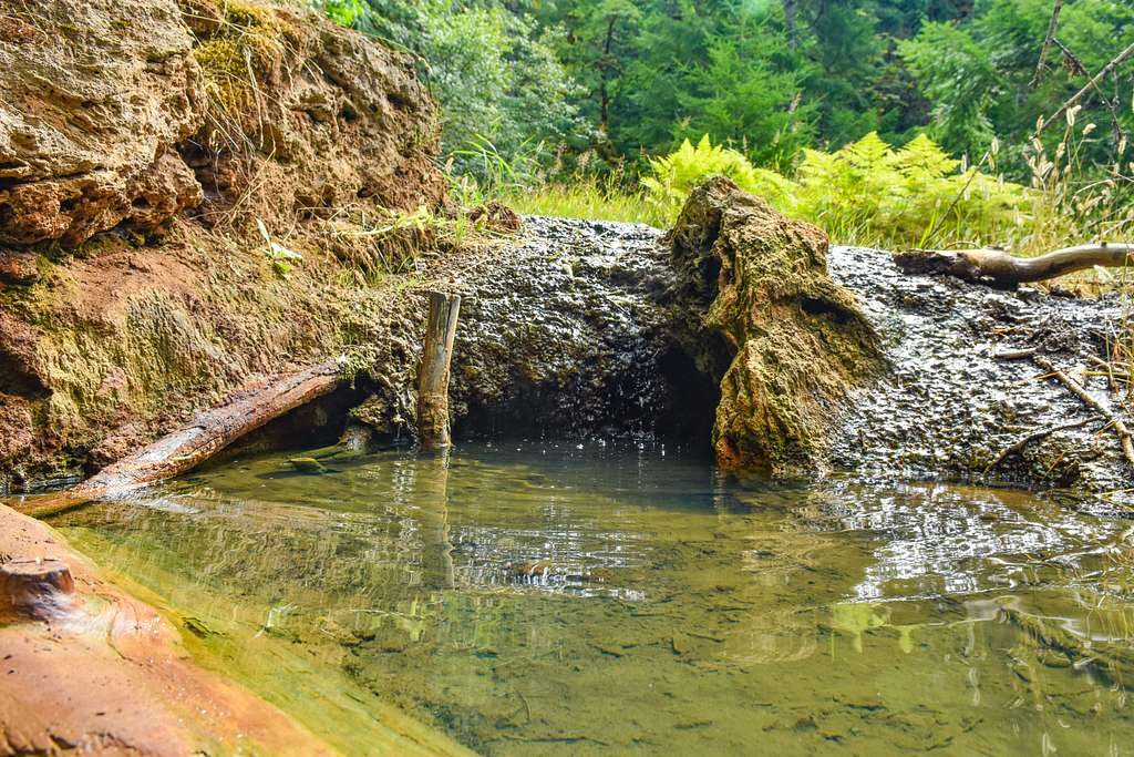
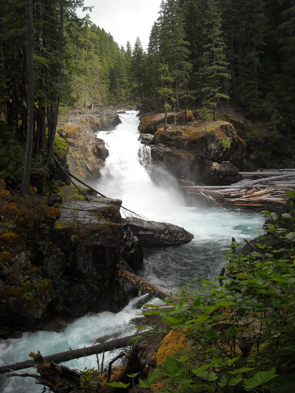
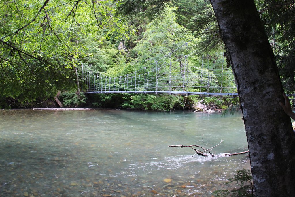
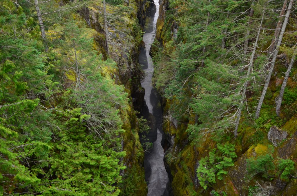
The Ohanapecosh River is the star—clear, cold, and that surreal blue-green you came for. The trail tracks the river past quiet pools and tight chasms to Silver Falls, a powerful ~40‑foot plunge into a deep, frothy basin. Bridges and fenced viewpoints give safe, dramatic angles on the falls and the narrow gorge. Much of the loop winds through airy old-growth Douglas-fir and hemlock, with soft forest duff underfoot and occasional roots and stairs near the cascades. Keep an eye out for American dippers bobbing along the current. A short spur near the campground visits the Ohanapecosh Hot Springs—interesting to see, not for soaking.
Expect gentle grades with short ups/downs around the falls. No big-mountain vistas here—this is a forest-and-water soundtrack hike, not a summit-view stroll. Many hikers prefer going clockwise for a more dramatic approach to the falls. It’s an easy add-on if you’re camping at Ohanapecosh or stopping at the visitor center.
Fed by Rainier’s snowfields and glaciers, the Ohanapecosh shows off the river’s erosive punch as it carves through volcanic bedrock—most obvious where it funnels into the narrow gorge and then explodes over the lip of Silver Falls.
Late spring through fall is prime. Spring and early summer deliver peak flow for the biggest waterfall show; by mid to late summer, the tread is typically snow-free. This loop shines on cloudy days since the draw is water and forest texture, not distant views. In early spring and late fall, slick spots from moisture and cold are possible—tread carefully near edges and on stairs.
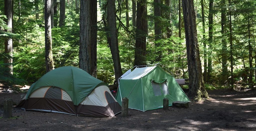
Parking near the campground can fill quickly; arrive early if you want the closest spots. Facilities at the visitor center and campground make this a convenient family outing. Pets aren’t allowed on park trails.
Important 2025 note: Due to construction at Ohanapecosh Campground, the classic loop is temporarily inaccessible. You can still reach Silver Falls as an out‑and‑back via the Eastside Trail from the Grove of the Patriarchs parking area until the loop reopens.
For minimal effort, you get a roaring waterfall, a wild river in a tight gorge, and a serene old-growth forest—hard to beat for a short hike. If you came for postcard Rainier views, pick a different trail; if you want classic Northwest forest and moving water, this one overdelivers.
Closest parking is the small pullout off Ohanapecosh Campground Loop B near the Visitor Center; it fills early and overflow may require a short walk. During the loop closure, park at the Grove of the Patriarchs lot to access Silver Falls via the Eastside Trail.
The Ohanapecosh River is swift and icy—stay behind fences and keep clear of edges; do not swim near the falls. Expect stairs, bridges, and potentially slick surfaces in shoulder seasons. Ongoing campground construction may close portions of the loop—check status before you go.
Place · 0 mi away
Place · 0.2 mi away
Place · 0.3 mi away
Place · 0.3 mi away
Easy · 1.9 mi away
Easy · 3.8 mi away
Challenging · 3.9 mi away
Challenging · 4.6 mi away

Parkwolf Tour Guide
