
Place · 0.2 mi away
Easy
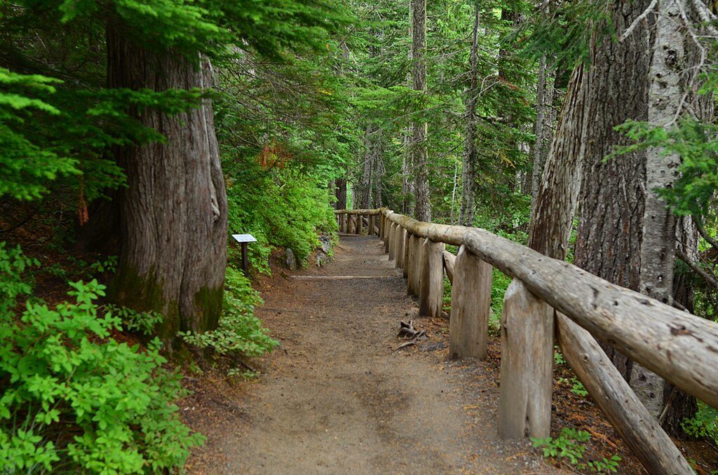
This is the park’s classic quick stop that feels bigger than it is: a short, steep spur from the Narada Falls parking area down to a lower viewpoint of a two-tier, ~176‑foot waterfall on the Paradise River. The official walk is brief (about 0.4 miles round trip), but the descent is slick and steep enough to feel like a real trail, not just a roadside glance.
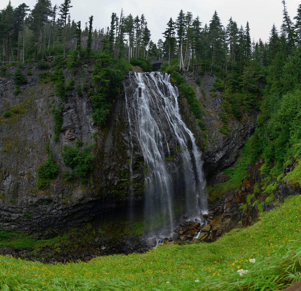
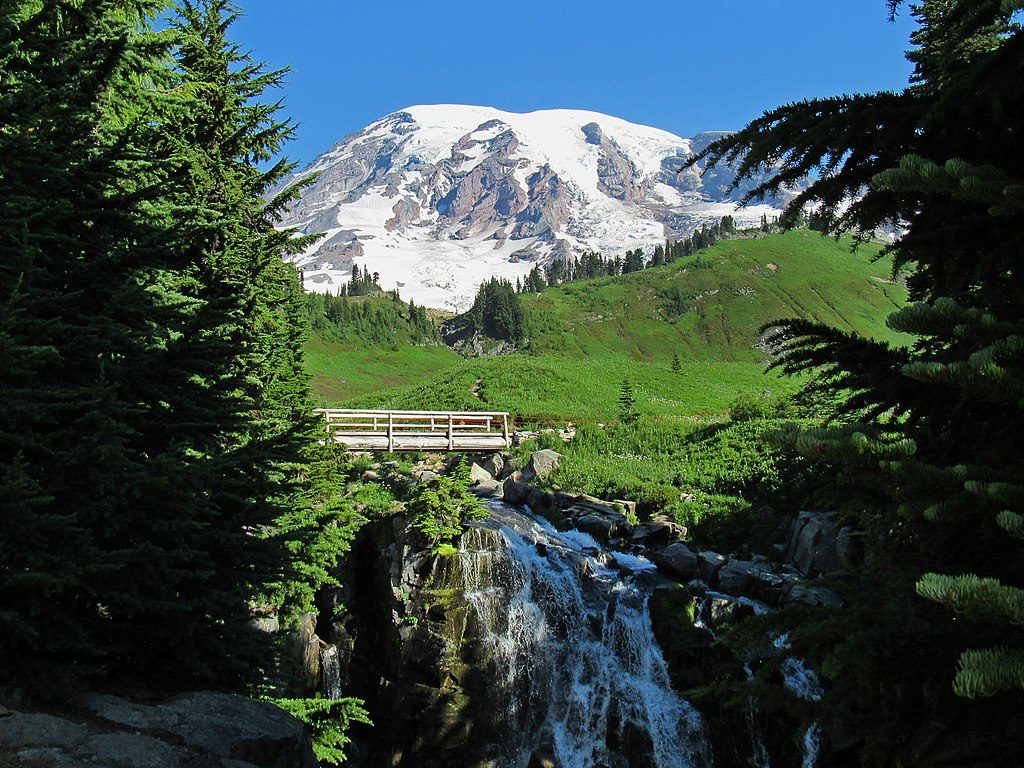
Narada Falls is a horsetail-type waterfall, with the upper tier (~159 feet) maintaining contact with the cliff face and a smaller lower drop (~17 feet). In early summer, snowmelt turns the falls thunderous—you’ll hear it before you see it—and the mist at the lower platform can throw rainbows on sunny late mornings to early afternoons. The setting is lush: mossy trees, river scenery, and wildflowers in season, all framed by old stonework near the brink.
From the large lot on Stevens Canyon Road, you can peek over the brink near the stone bridge, then follow the short, steep path to the lower viewpoint. Expect wet, muddy patches and rock steps—this is why non-slip footwear matters. It’s family-friendly for many, but the grade and slick surface demand close supervision of kids.
Best late spring through early fall when the trail is clear and the falls are at their most powerful. In winter, the upper viewpoint is often accessible, but the descent to the lower platform can be icy or hazardous—many visitors wisely skip it when slick. For photos, aim for late morning to early afternoon on sunny days for misty rainbows. This is a popular stop; expect midday crowds.
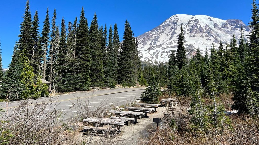
Amenities are unusually good for a short stop: ample parking, restrooms, and picnic tables. Pets aren’t allowed on national park trails. No special hiking permit is needed beyond the park entrance fee. If you want more than a viewpoint, Narada Falls also connects to longer routes: the Wonderland Trail and the Lakes Trail toward Reflection Lakes, opening up loop options with big Mount Rainier and Tatoosh Range views.
The Paradise River plunges over volcanic bedrock shaped by glacial and erosional processes, creating that classic horsetail profile. The constant spray is part of the charm—and the hazard—so plan shoes and layers accordingly.
Large signed lot directly off Stevens Canyon Road near Paradise with restrooms and picnic tables; upper brink viewpoint is adjacent and the short spur to the lower viewpoint starts here.
Short but steep and often wet; expect slick mud and rock steps from constant mist. Wear traction footwear, supervise kids, and in winter stick to the upper viewpoint as the lower trail is icy and hazardous.
Place · 0.2 mi away
Place · 0.2 mi away
Place · 0.5 mi away
Place · 0.7 mi away
Challenging · 0.7 mi away
Moderate · 0.7 mi away
Easy · 0.7 mi away
Challenging · 0.7 mi away

Parkwolf Tour Guide
