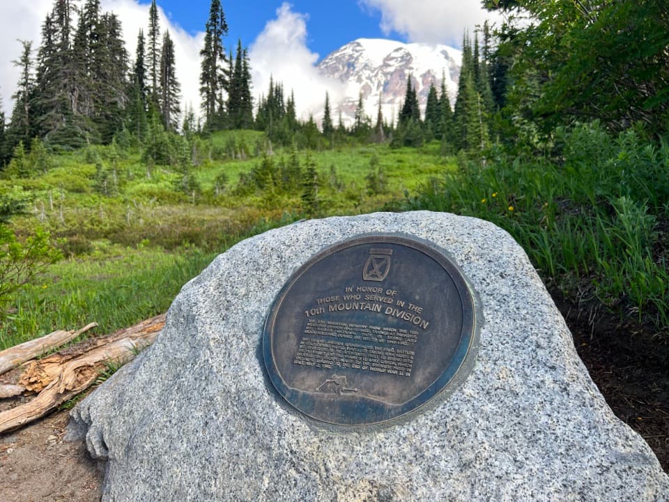
Paradise Picnic Area in Mount Rainier National Park

Picnic area · Mount Rainier National Park

Paradise Picnic Area

A laid-back lunch among 100-plus tables, with Rainier views on clear days.

Type
Picnic area
Nearest trail
0.2 mi
Audio stories
12 nearby
  • Picnic tables
  • Parking
  • Restrooms

Hear the audio tour

Paradise Picnic Area: A Lunch Stop Among the Trees

Overview

About Paradise Picnic Area

Why stop

  • More than 100 tables and grills make an easy lunch break near Paradise.
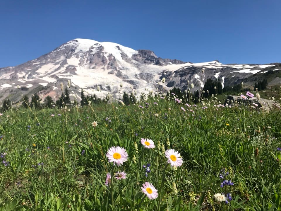
  • The tables can have a Mount Rainier view on clear days.

Heads up

  • The picnic area spans several loops, and the connector from the lower lot has stairs.

Map

Where it is

Loading the Mount Rainier map
Full map
Picnic areaParadise Picnic Area46.78228, -121.73960
Keep this map with you offline in the Parkwolf app

Plan your stop

Before you go

7 active Mount Rainier alerts

  • ClosureWildfire closures in the northern parkGrand Park 2 and Wonderland Complex fire closures affect trails, backcountry camps, and Sunrise access; stay out of closed areas.Official details
  • ClosureSR 165 bridge closed: no public access to Carbon River or Mowich LakeThe SR 165 Carbon River/Fairfax Bridge is closed to vehicles, bicycles, and pedestrians; there is no public access or alternate route to Carbon River or Mowich Lake.Official details
See all 7 alerts
A park ranger sits on a dash-mounted phone, talking, as Parkwolf’s Tour Guide plays “Army Cutworm Moths: A Grizzly Bear Buffet” on Grand Loop Road below Dunraven Pass in Yellowstone
Parkwolf Tour GuideThe highest, rockiest slopes around here are a summer buffet for grizzly bears.

Mount Rainier Tour Guide

Your drive to Paradise Picnic Area, narrated.

Parkwolf is a GPS audio tour guide for Mount Rainier National Park. As you drive, it chimes in with what’s ahead: hidden gems, upcoming stops, history, geology, and wildlife, right through your car’s speakers.

See the Mount Rainier audio tour

Recorded for this place

Paradise Picnic Area: A Lunch Stop Among the Trees
0:00 / 0:17
“Paradise Picnic Area is ahead, with tables and grills among the trees and Rainier views on clear days. It's a summer stop for a lunch you've brought along.”

Plays as you drive up to Paradise Picnic Area in the Parkwolf Mount Rainier Tour Guide.

More stories near here in the app

  • Nisqually Vista: A Short Glacier Walk
  • Ruby Falls: Beneath the Bridge
  • Paradise: Meadows, Myrtle Falls and the Inn
  • Narada Falls: The Lower View
  • 77 audio storiesacross Mount Rainier’s roads, triggered by GPS as you drive
  • Wildlife heatmapsfor Mountain Goat, Black Bear, Wolverine, and 13 more
  • Works offlinemaps, 99 trails, 87 places, and audio download before you lose signal
  • CarPlay readysimple controls built for the drive
★★★★★
“Fantastic app with many points of information… It’s great to just turn on while you’re driving and it gives you an audio tour of the national Park. We love it!!!!”
JMJamesApp Store review
Download Parkwolf on the App StoreGet Parkwolf on Google Play

4.7 from 8,600+ ratings

Guide

More about Paradise Picnic Area

A proper lunch stop at ParadiseParadise Picnic Area is a large picnic ground spread across several loops in the meadow called…

Paradise Picnic Area is a large picnic ground spread across several loops in the meadow called Barn Flat. More than 100 tables and grills sit among the trees, with a view of Mount Rainier from the tables on a clear day. Bring food and make this your sit-down break near Paradise's main visitor area.

Finding a tableThe picnic area is on Paradise Valley Road, about half a mile southeast of the Henry M.

The picnic area is on Paradise Valley Road, about half a mile southeast of the Henry M. Jackson Memorial Visitor Center and 0.2 mile southeast of the lower Paradise parking lot. There is parking at the picnic area, and a short connector with stairs from the lower lot; small paths link the table areas. For step-free access, head to the central section: it has two accessible parking spaces beside the restroom and three accessible tables. Potable water is at the restrooms. The area typically opens from late June through late September, depending on weather and road conditions. Pets may join you at the tables and on paved roads or sidewalks, but not on park trails.

Barn Flat and Mission 66This meadow was developed as a picnic area during Mission 66, the postwar program that expanded…

This meadow was developed as a picnic area during Mission 66, the postwar program that expanded park visitor facilities from 1956 to 1966. Mount Rainier was the first national park to get a Mission 66 development plan. Stick to the small paths between tables to protect the surrounding vegetation.

Wildlife

Wildlife in Mount Rainier

All Mount Rainier wildlife maps

Sighting maps show where each species has been reported across Mount Rainier. Wildlife moves, so no sighting is guaranteed.

Keep exploring

Near Paradise Picnic Area

See it all on the map

Trails nearby

More stops nearby

Parkwolf’s Mount Rainier ranking

Top sights in Mount Rainier

All 87 places
  1. 1Reflection LakesSight
  2. 2Myrtle FallsSight
  3. 3Panorama PointSight
  4. 4Narada FallsSight
  5. 5Tipsoo LakeSight
  6. 6Sunrise Point OverlookSight

Take Parkwolf to Mount Rainier.

The audio tour guide for the drive, plus offline maps, trails, and wildlife heatmaps for when the signal drops.

4.7 from 8,600+ ratings

Download Parkwolf on the App StoreGet Parkwolf on Google Play