Parking
Use the Comet Falls Trailhead lot on Paradise Road, about four miles east of Longmire. It holds roughly 16 cars and often fills; there is no additional parking nearby, so have a backup hike in mind.

#10 of 99 trails in Mount Rainier
Mount Rainier National Park, WA
A steep creekside climb to one of Rainier’s tallest waterfalls.
Overview
Comet Falls Trail is a 3.8-mile out-and-back along Van Trump Creek to the waterfall’s base. Allow about three to four hours and expect roughly 1,200 feet of climbing. The payoff is a 300-foot waterfall, but the short mileage hides a steep, rough climb. Start early: the small trailhead lot often fills, and there’s no overflow parking nearby, so keep another hike in mind. There are no amenities at the lot, and dogs aren’t allowed on park trails.
 Parkwolf’s verdictIs this the hike for you?
Map & elevation
Plan your hike

The highest, rockiest slopes around here are a summer buffet for grizzly bears.
Mount Rainier Tour Guide
Parkwolf is a GPS audio tour guide for Mount Rainier National Park. As you drive, it chimes in with what’s ahead: hidden gems, upcoming stops, history, geology, and wildlife, right through your car’s speakers.
See the Mount Rainier audio tourRecorded for this trailhead
Comet Falls: A Steep Waterfall Hike“Comet Falls trailhead is coming up, the start of a steep hike to a waterfall more than three hundred feet high.”
Plays as you drive up to this trailhead in the Parkwolf Mount Rainier Tour Guide.
More stories near here in the app
“Fantastic app with many points of information… It’s great to just turn on while you’re driving and it gives you an audio tour of the national Park. We love it!!!!”


Trail guide
The trail climbs through mixed young and old forest. At about 0.3 mile, a sturdy bridge crosses Van Trump Creek; it’s a good place to look both upstream and down toward Christine Falls. After roughly half a mile, trees open onto talus and an andesite rock outcrop. The creek stays close, so you hear it even when the forest closes in again. The tread starts wide, then gets steeper, with roots and loose rock. Muddy or wet sections can be slick.
Around 1.2 miles, a crib ladder carries the trail across a rock face. Crews built it after a 2012 slide, and it’s a memorable sign that the route is no longer an easy stroll. Near 1.6 miles, a footlog crosses the East Fork of Van Trump Creek beside Bloucher Falls, a three-tier cascade. From there, the trail passes wind-damaged trees and climbs steep switchbacks. A sign puts Comet Falls about 200 feet ahead, but your first look may be through the trees rather than at the closest viewpoint.
The waterfall drops roughly 300 feet into a narrow canyon. Spray can soak the rocks, and rockfall is a real hazard near the close-in plunge pool. Skip the informal scramble beneath the cliff; use a safe, established viewpoint. For a photo, include both the high main drop and the smaller cascade below it so the scale of the canyon comes through.
This 3.8-mile route ends at the waterfall. The signed trail keeps climbing beyond it: Van Trump Park is a 5.8-mile round trip, and Mildred Point is 6.6 miles. Those are longer, steeper outings with different views, not small add-ons to this hike. Van Trump Park is named for P. B. Van Trump, who with Hazard Stevens was among the first climbers to reach Rainier’s summit in 1870.
Wildlife
 466 sightingsMountain GoatMost seen around 6 AMSighting map
 383 sightingsBlack BearMost seen around 7 PMSighting map
 10 sightingsWolverineMost seen around 6 AMSighting map
 58 sightingsElkMost seen around 6 AMSighting map
 574 sightingsMule DeerMost seen around 6 AMSighting map
 1,853 sightingsHoary MarmotMost seen around 6 AMSighting map
Sighting maps show where each species has been reported across Mount Rainier. Wildlife moves, so no sighting is guaranteed.
Keep exploring
 ChallengingMildred Point Trail6.6 mi · 5.5 hr · At the trailheadTwo waterfalls first, then a steep climb to the Kautz valley.
 ChallengingComet Falls and Van Trump Park Trail5.8 mi · 4.5 hr · 0.1 mi awayWaterfall spray gives way to open meadows and big Rainier views.
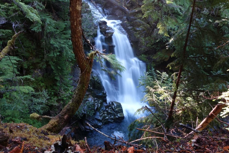 ModerateCarter and Madcap Falls Trail3 mi · 2.5 hr · 0.9 mi awayTwo waterfalls and old-growth forest beyond the Nisqually log bridge.
 EasyNisqually Vista Trail1.2 mi · 45 min · 2 mi awayShort paved loop, big glacier views, and a few rolling climbs.
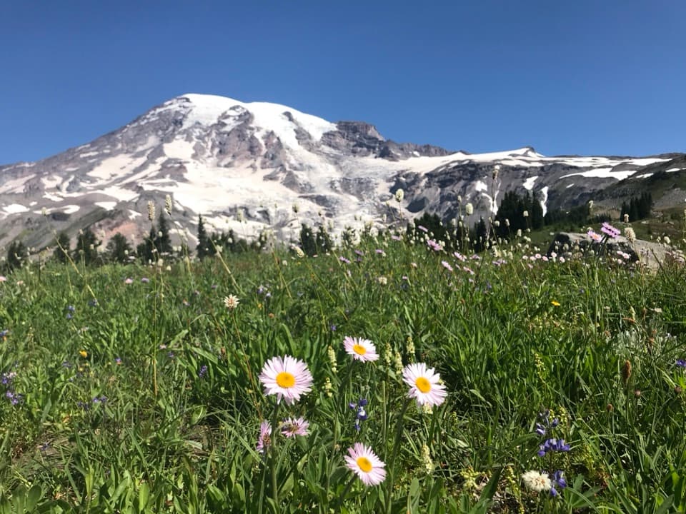 ModerateDeadhorse Creek and Moraine Trail2.5 mi · 2 hr · 2 mi awayWildflowers frame Rainier above the Nisqually Glacier.
 ModerateGlacier Vista Trail3.1 mi · 2.8 hr · 2 mi awayGet a clear look at the glacier’s icefall, crevasses and headwaters.
 ModerateParadise Glacier Trail5.1 mi · 3.5 hr · 2.2 mi awayFollow Skyline over flower meadows and steps to a glacier basin.
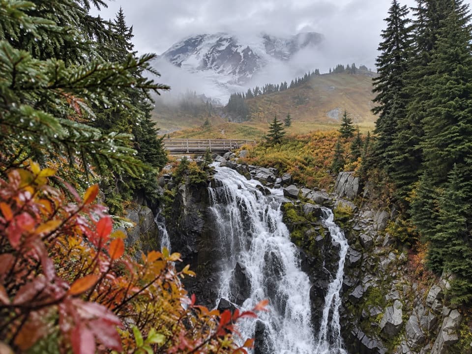 ModerateLakes Trail Loop via Mazama Ridge5.3 mi · 4 hr · 2.2 mi awayLink Reflection Lakes, Faraway Rock, Mazama Ridge, and Myrtle Falls.
 Sight · 0.2 mi awayChristine FallsThe stone arch frames the lower falls from a short downhill path.
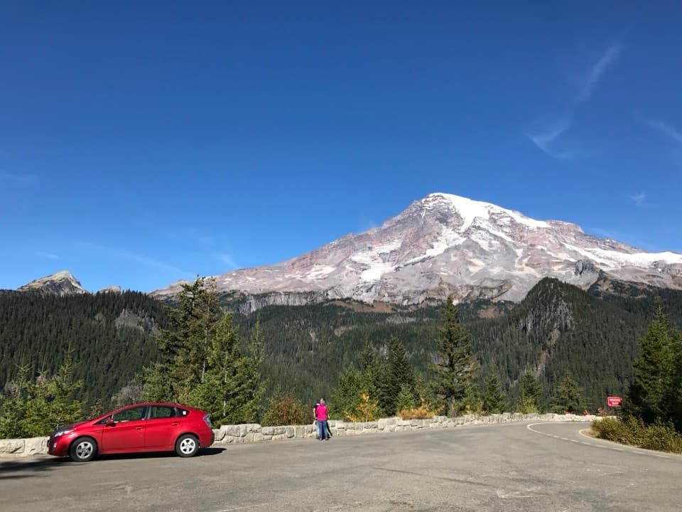 Sight · 0.6 mi awayRicksecker PointA one-third-mile loop pairs Rainier views with glacial geology.
 Picnic area · 0.7 mi awayCougar Rock Picnic AreaA handy forest picnic stop, with grills and more than 30 tables.
 Campground · 0.9 mi awayCougar Rock CampgroundA forested base with the Wonderland Trail across the road.
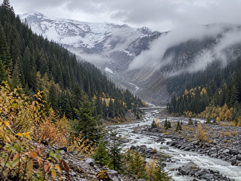 Sight · 1 mi awayGlacier BridgeA quick pause above the Nisqually River and its glacier-carved valley.
 Sight · 1 mi awayVan Trump FallsThree tiers and a footbridge break up the climb toward Comet Falls.Sight · 1.1 mi awayCarter FallsCross a log bridge for Rainier views before the forest waterfallSight · 1.2 mi awayComet FallsA waterfall over 300 feet high rewards the steep creekside climb.
Parkwolf’s Mount Rainier ranking
The audio tour guide for the drive, plus offline maps, trails, and wildlife heatmaps for when the signal drops.




