Battle of Raymond in Natchez Trace Parkway

Sight · Natchez Trace Parkway

Battle of Raymond

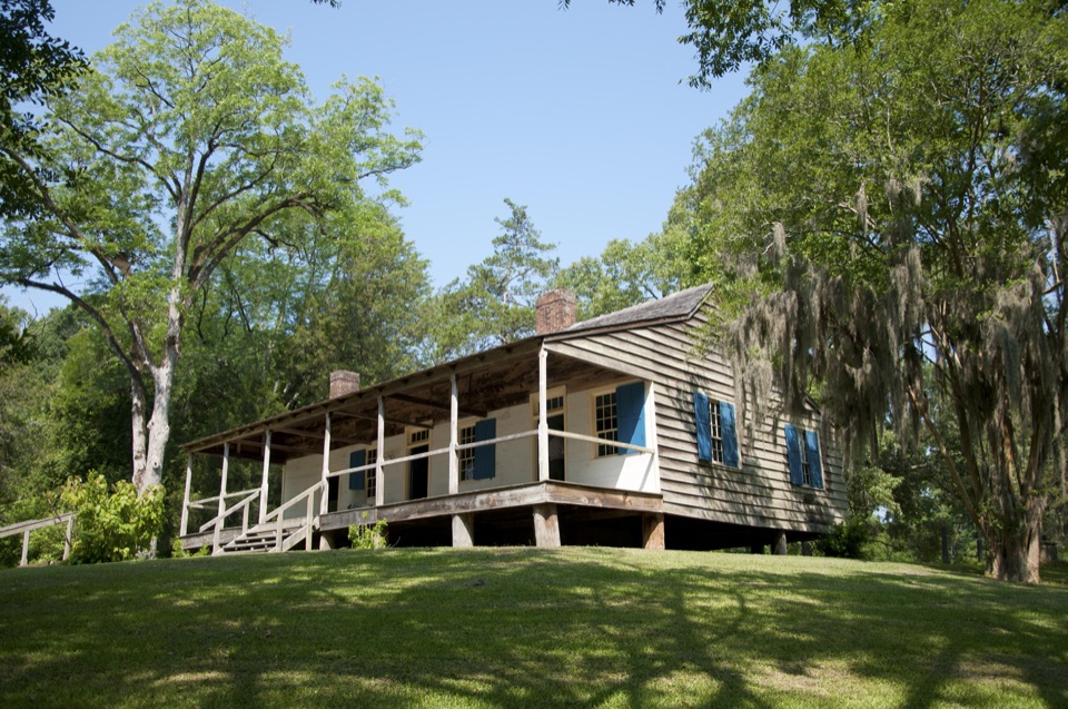
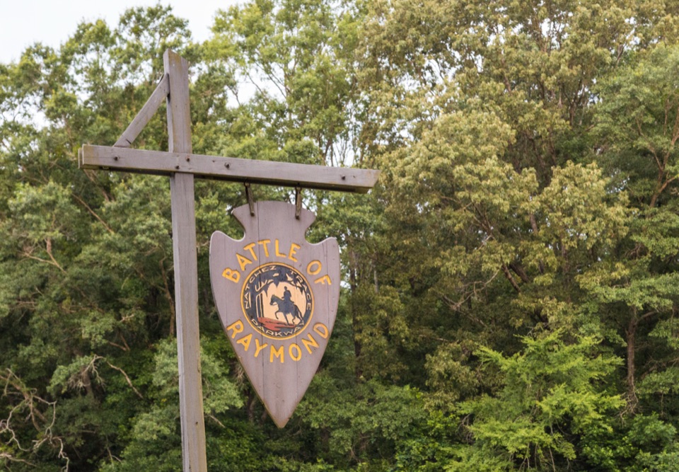
Roadside sign marking an 1863 Vicksburg Campaign fight three miles east

Photo: Wikimedia Commons
Type
Sight
Audio stories
3 nearby
  • Exhibit
  • Parking
  • Picnic tables

Hear the audio tour

Battle of Raymond Marker

Overview

About Battle of Raymond

Why stop

  • Direct, easy-to-understand Vicksburg Campaign history marker

Heads up

  • Brief stop centered on one sign and a single picnic table
This is a quick roadside history stop at milepost 78.3, the closest point on the Parkway to Raymond, Mississippi. The interpretive sign covers the Battle of Raymond on May 8, 1863, when Union forces under Grant, moving inland after crossing the Mississippi River and capturing Port Gibson, drew fire from a Confederate brigade under Brigadier General John Gregg at the southern edge of Raymond. After a day of bitter fighting the Confederates withdrew toward Jackson, leaving their wounded in the county courthouse. For anyone following the Vicksburg Campaign by car, it is a useful five-minute orientation before or after visiting the town itself.
Parkwolf’s verdictWhy stop here

Map

Where it is

Loading the Natchez Trace map
Full map
SightBattle of Raymond32.27772, -90.47563
Keep this map with you offline in the Parkwolf app

Plan your stop

Before you go

4 active Natchez Trace alerts

  • ClosureParkway sections closed for bridge and road constructionTwo Natchez Trace Parkway sections are closed to through traffic; follow the signed detours.Official details
  • ClosureMount Locust historic stand closedThe historic stand at Mount Locust Inn & Plantation (MP 15.5) is closed because of structural concerns.Official details

See all 4 alerts
A park ranger sits on a dash-mounted phone, talking, as Parkwolf’s Tour Guide plays “Army Cutworm Moths: A Grizzly Bear Buffet” on Grand Loop Road below Dunraven Pass in Yellowstone
Parkwolf Tour GuideThe highest, rockiest slopes around here are a summer buffet for grizzly bears.

Natchez Trace Tour Guide

Your drive to Battle of Raymond, narrated.

Parkwolf is a GPS audio tour guide for Natchez Trace Parkway. As you drive, it chimes in with what’s ahead: hidden gems, upcoming stops, history, geology, and wildlife, right through your car’s speakers.

Recorded for this place

Battle of Raymond Marker
0:00 / 0:31
“You're approaching the Battle of Raymond marker, a quick roadside stop for a fight that took place about three miles east of here.”

Plays as you drive up to Battle of Raymond in the Parkwolf Natchez Trace Tour Guide.

More stories near here in the app

  • The Yellow Film of Spring
  • Coffee at Fourteen Mile Creek
  • The Little Room in an Oak Leaf
  • Why the Pine Looks Rusty
  • 272 audio storiesacross Natchez Trace’s roads, triggered by GPS as you drive
  • Wildlife heatmapsfor American Alligator, White-tailed Deer, Wild Turkey, and 9 more
  • Works offlinemaps, 26 trails, 62 places, and audio download before you lose signal
  • CarPlay readysimple controls built for the drive
★★★★★
“Fantastic app with many points of information… It’s great to just turn on while you’re driving and it gives you an audio tour of the national Park. We love it!!!!”
JMJamesApp Store review
Download Parkwolf on the App StoreGet Parkwolf on Google Play

4.7 from 8,600+ ratings

Guide

More about Battle of Raymond

What you'll actually seeExpect one wooden sign hanging from a crossbeam among dense trees, plus auto parking and a…

Expect one wooden sign hanging from a crossbeam among dense trees, plus auto parking and a single picnic table with no grill. That is the whole stop. The fighting happened about three miles east of this spot, so there are no battle lines, monuments, or open field views here, and this location is separate from the preserved battlefield ground near Raymond. There is no museum, visitor center, or restroom at the pull-off.

Practical tipsCome in daylight, since the panel text needs natural light to read and photograph, and softer…

Come in daylight, since the panel text needs natural light to read and photograph, and softer morning or late-afternoon light works best for pictures of the sign under the trees. It suits a short snack break rather than a full lunch, given the lone table. The main drawback is simple to state: the sign carries the story, but the ground it describes lies down the road, so plan a drive into Raymond if you want to stand where the battle was fought.

Wildlife

Wildlife in Natchez Trace

All Natchez Trace wildlife maps

Sighting maps show where each species has been reported across Natchez Trace. Wildlife moves, so no sighting is guaranteed.

Parkwolf’s Natchez Trace ranking

Top sights in Natchez Trace

All 62 places
  1. 1Double Arch Bridge at Birdsong HollowSight
  2. 2Cypress SwampSight
  3. 3Jackson FallsSight
  4. 4Emerald MoundSight
  5. 5Reservoir OverlookSight
  6. 6Mount Locust Historic HouseSight

Take Parkwolf to Natchez Trace.

The audio tour guide for the drive, plus offline maps, trails, and wildlife heatmaps for when the signal drops.

4.7 from 8,600+ ratings

Download Parkwolf on the App StoreGet Parkwolf on Google Play