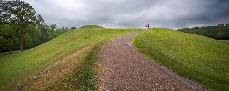
Emerald Mound in Natchez Trace Parkway

#4 of 49 sights in Natchez Trace

Sight · Natchez Trace Parkway

Emerald Mound

Climb the second-largest Mississippian ceremonial mound in the U.S.

Photo: National Park Service
Type
Sight
Nearest trail
4.9 mi
Audio stories
2 nearby
  • Exhibit
  • Parking
  • Scenic viewpoint

Hear the audio tour

Emerald Mound

Overview

About Emerald Mound

Why stop

  • One of the Parkway's defining American Indian archaeological sites
  • Huge grassy mound with a trail to a broad countryside view

Heads up

  • The scale is easy to underestimate from the parking area
This is one of the biggest earthworks you can walk on anywhere in the country, and the second-largest Mississippian Period ceremonial mound in the United States after Monk's Mound near Cahokia. Mississippian people built the flat-topped mound and used it as a ceremonial center from about 1200 CE through the following centuries, with mounds serving for burials, temples, and ceremonial structures. It's a National Historic Landmark and listed on the National Register of Historic Places, and it stays one of the defining American Indian archaeological sites along the Parkway.
Parkwolf’s verdictWhy stop

Map

Where it is

Loading the Natchez Trace map
Full map
SightEmerald Mound31.63600, -91.24705
Keep this map with you offline in the Parkwolf app

Plan your stop

Before you go

Best time to go

The site is open sunrise to sunset every day, so plan around daylight. Early morning and the last hour or two before sunset give the warmest, most raking light across the open grass, which is when the mound's terraces and edges read best in photos; midday sun flattens the whole shape out. Most people give it a brief stop rather than a long visit, but budget a little more time if you want to walk the full length of the top and read the panels.


4 active Natchez Trace alerts

  • ClosureParkway sections closed for bridge and road constructionTwo Natchez Trace Parkway sections are closed to through traffic; follow the signed detours.Official details
  • ClosureMount Locust historic stand closedThe historic stand at Mount Locust Inn & Plantation (MP 15.5) is closed because of structural concerns.Official details
See all 4 alerts
A park ranger sits on a dash-mounted phone, talking, as Parkwolf’s Tour Guide plays “Army Cutworm Moths: A Grizzly Bear Buffet” on Grand Loop Road below Dunraven Pass in Yellowstone
Parkwolf Tour GuideThe highest, rockiest slopes around here are a summer buffet for grizzly bears.

Natchez Trace Tour Guide

Your drive to Emerald Mound, narrated.

Parkwolf is a GPS audio tour guide for Natchez Trace Parkway. As you drive, it chimes in with what’s ahead: hidden gems, upcoming stops, history, geology, and wildlife, right through your car’s speakers.

Recorded for this place

Emerald Mound
0:00 / 0:32
“You're approaching the turnoff for Emerald Mound, almost a mile down Emerald Mound Road. Mississippian people built and used this vast earthen platform beginning around the year 1200, with their ceremonial center on top.”

Plays as you drive up to Emerald Mound in the Parkwolf Natchez Trace Tour Guide.

More stories near here in the app

  • Three Stages, One Mound
  • Five Swims in One Day
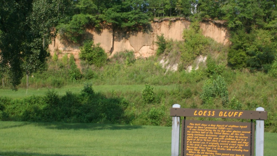
  • Loess Bluff
  • The Daytime Chorus
  • 272 audio storiesacross Natchez Trace’s roads, triggered by GPS as you drive
  • Wildlife heatmapsfor American Alligator, White-tailed Deer, Wild Turkey, and 9 more
  • Works offlinemaps, 26 trails, 62 places, and audio download before you lose signal
  • CarPlay readysimple controls built for the drive
★★★★★
“Fantastic app with many points of information… It’s great to just turn on while you’re driving and it gives you an audio tour of the national Park. We love it!!!!”
JMJamesApp Store review
Download Parkwolf on the App StoreGet Parkwolf on Google Play

4.7 from 8,600+ ratings

Guide

More about Emerald Mound

What you see and doThe main platform stands 35 feet high, covers eight acres, and measures 770 by 435 feet at its…

The main platform stands 35 feet high, covers eight acres, and measures 770 by 435 feet at its base. Two secondary mounds sit on top, bringing the total height to roughly 60 feet, and the larger western one is about 190 by 160 by 30 feet. An established trail lets you climb to the top, where you get a broad open view over the surrounding countryside. Interpretive information at the site explains who built the mound and how it was used, so read it before you walk up and the shapes underfoot make far more sense.

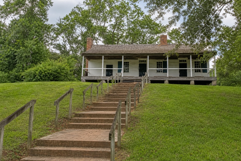
Practical accessMilepost 10.3, then about one mile west on Emerald Mound Road
  • Milepost 10.3, then about one mile west on Emerald Mound Road
  • Roughly 10 miles northeast of Natchez
  • Auto parking on site, with a short walk uphill to the summit
  • Amenities are limited to parking, interpretive information, and the viewpoint itself
Respect the siteThis is a ceremonial and archaeologically significant American Indian site, not a park lawn.

This is a ceremonial and archaeologically significant American Indian site, not a park lawn. Skip recreation like ball games and kite flying, stay on the established trail where you can, and leave everything where it lies: federal law prohibits disturbing or removing artifacts.

Honest drawbacksThe scale is easy to underestimate from the parking area.

The scale is easy to underestimate from the parking area. From the lot you mostly see a green rise, and the sense of how enormous the platform is only lands once you're standing on top. There's little here beyond the mound, the parking, and the interpretive information, so treat it as a focused stop rather than a place to spend a half day.

Wildlife

Wildlife in Natchez Trace

All Natchez Trace wildlife maps

Sighting maps show where each species has been reported across Natchez Trace. Wildlife moves, so no sighting is guaranteed.

Parkwolf’s Natchez Trace ranking

Top sights in Natchez Trace

All 62 places
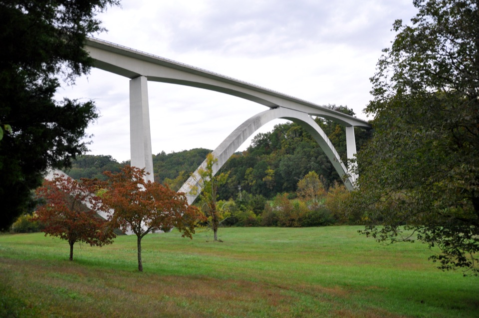
  1. 1Double Arch Bridge at Birdsong HollowSight
  2. 2Cypress SwampSight
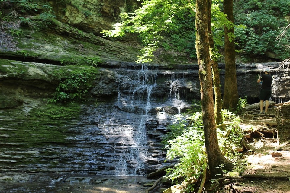
  3. 3Jackson FallsSight
  4. 5Reservoir OverlookSight
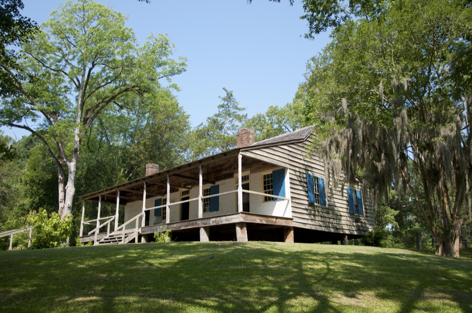
  5. 6Mount Locust Historic HouseSight
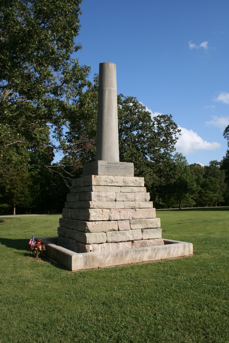
  6. 7Meriwether Lewis Monument and GravesiteSight

Take Parkwolf to Natchez Trace.

The audio tour guide for the drive, plus offline maps, trails, and wildlife heatmaps for when the signal drops.

4.7 from 8,600+ ratings

Download Parkwolf on the App StoreGet Parkwolf on Google Play