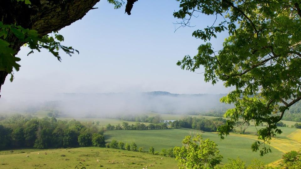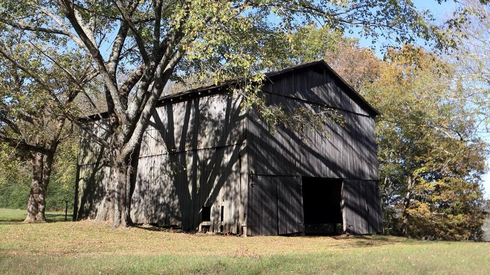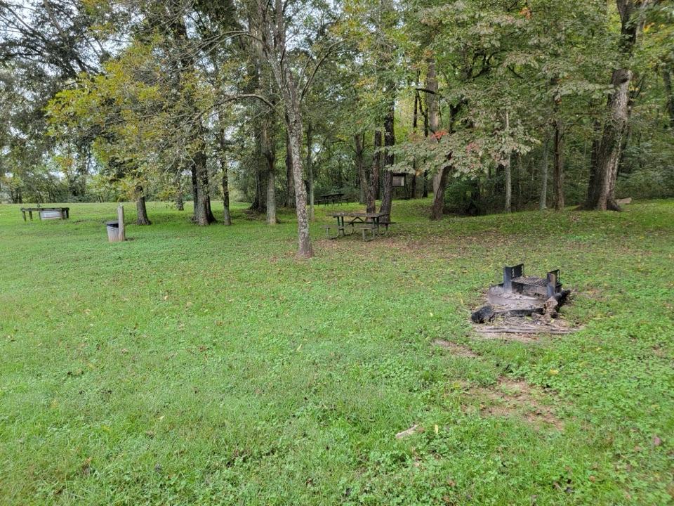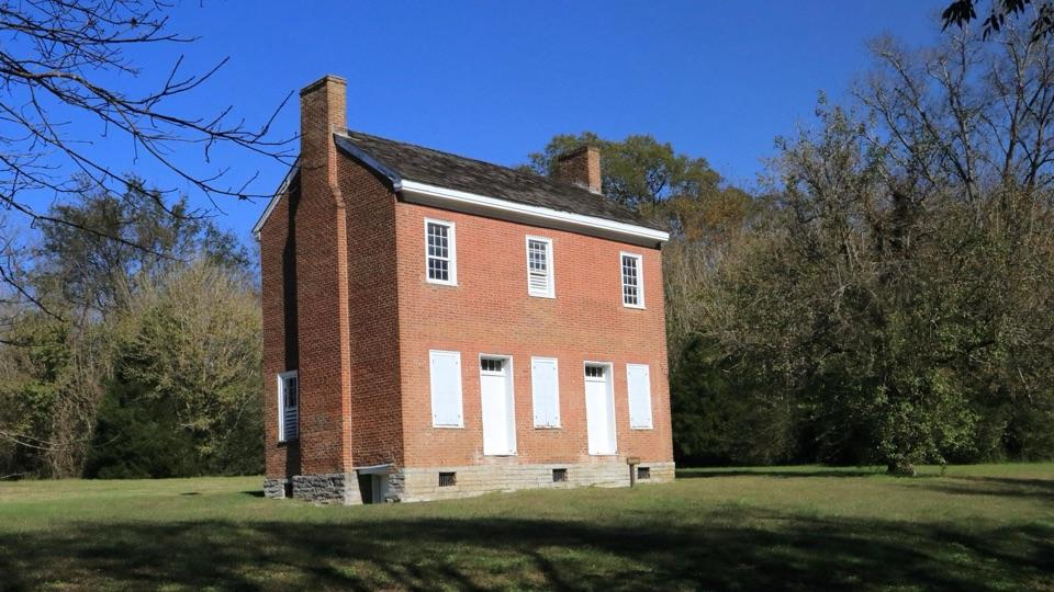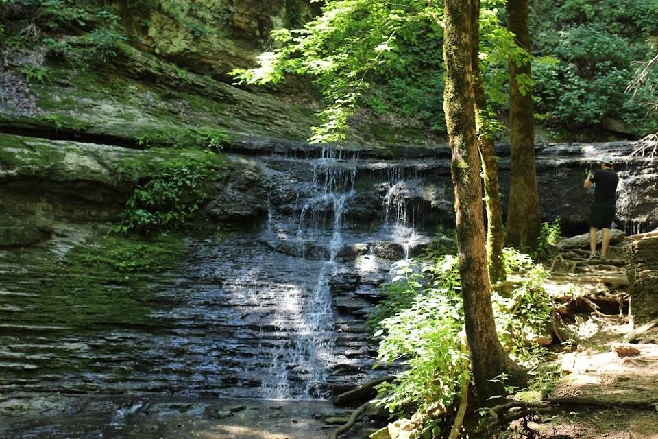
Jackson Falls in Natchez Trace Parkway

#3 of 55 sights in Natchez Trace

Sight · Natchez Trace Parkway

Jackson Falls

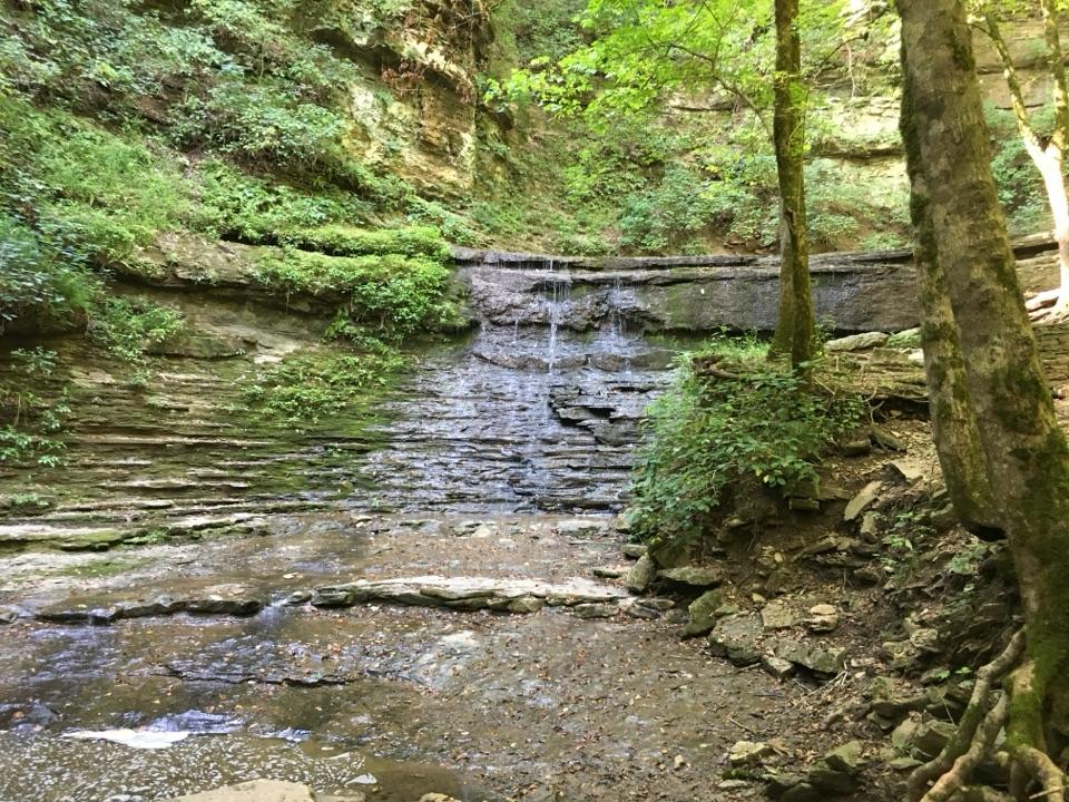
Steep 900-foot paved walk down to a sculpted cascade and pool

Photo: Lasermanmcgee, CC BY-SA 4.0

Type
Sight
Nearest trail
Right here
Audio stories
4 nearby
  • Parking
  • Picnic tables
  • Scenic viewpoint
  • Trailhead

Hear the audio tour

Jackson Falls and Baker Bluff
Download Parkwolf on the App StoreGet Parkwolf on Google Play

4.7 from 8,600+ ratings

Overview

About Jackson Falls

Why stop

  • Striking cascade over layered rock
  • Quick waterfall payoff on a Parkway stop

Heads up

  • Steep climb back to parking
  • Flow can be modest after dry weather
This wooded waterfall is a quick stop along the Parkway. At milepost 404.7, a short walk from the parking area brings you to a beautifully sculptured cascade spilling over layered rock into a clear pool, framed by woods that keep the whole scene shaded and cool. It is a photo stop and a leg stretch, not a long hike.
Parkwolf’s verdictWhy stop here

Map

Where it is

Loading the Natchez Trace map
Full map
SightJackson Falls35.69690, -87.29390
Keep this map with you offline in the Parkwolf app

Plan your stop

Before you go

Best time to go

Flow is more dependable after rain, and after a dry stretch the water can be modest. That same rain makes the paved trail and the rock slick, so go slower on wet or icy days. Cooler, wetter months tend to give you the strongest water, and spring brings wildflowers, birds, and other wildlife in the surrounding woods.

3 active Natchez Trace alerts

  • ClosureParkway closure at MP 159.5–165The Parkway is closed from State Highway 19/35 (MP 159.5) to State Highway 12 (MP 165) for road reconstruction; use the seven-mile detour.Official details
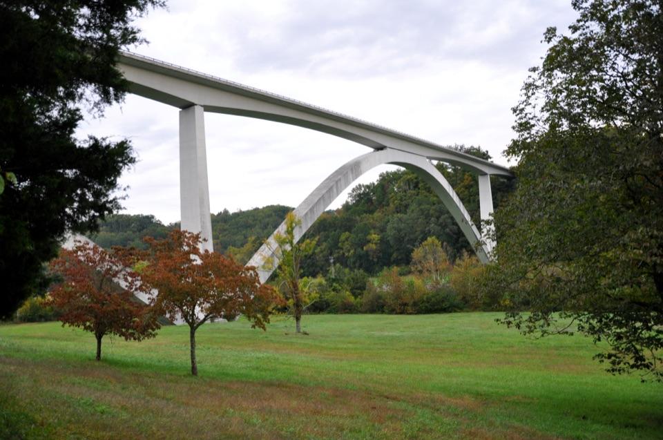
  • ClosureDouble Arch Bridge closure and detourThe Parkway is closed to through traffic at MP 437–440 for Double Arch Bridge construction; follow the signed detour.Official details
See all 3 alerts
A park ranger sits on a dash-mounted phone, talking, as Parkwolf’s Tour Guide plays “Army Cutworm Moths: A Grizzly Bear Buffet” on Grand Loop Road below Dunraven Pass in Yellowstone
Parkwolf Tour GuideThe highest, rockiest slopes around here are a summer buffet for grizzly bears.

Natchez Trace Tour Guide

Your drive to Jackson Falls, narrated.

Parkwolf is a GPS audio tour guide for Natchez Trace Parkway. As you drive, it chimes in with what’s ahead: hidden gems, upcoming stops, history, geology, and wildlife, right through your car’s speakers.

See the Natchez Trace audio tour

Recorded for this place

Jackson Falls and Baker Bluff
0:00 / 0:35
“You're nearing Jackson Falls, with Baker Bluff Overlook nearby. A short, steep paved path and steps lead down to the falls; allow about forty-five minutes, including the climb back.”

Plays as you drive up to Jackson Falls in the Parkwolf Natchez Trace Tour Guide.

More stories near here in the app

  • Old Trace Walk at Milepost 403.7
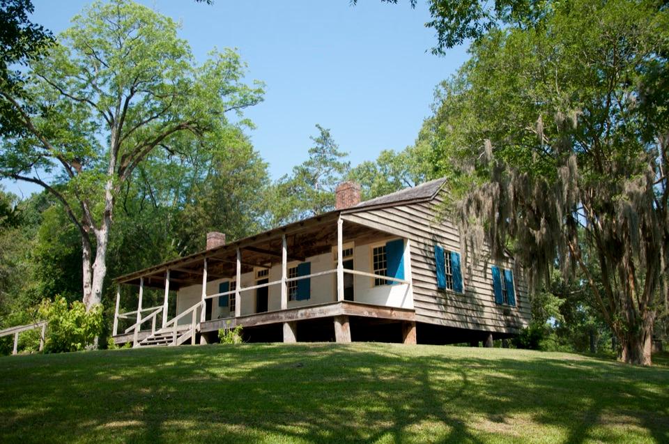
  • The House Dolly Shaped
  • The Bobcat's White Signals
  • Tobacco Barn and Old Trace Drive
  • 272 audio storiesacross Natchez Trace’s roads, triggered by GPS as you drive
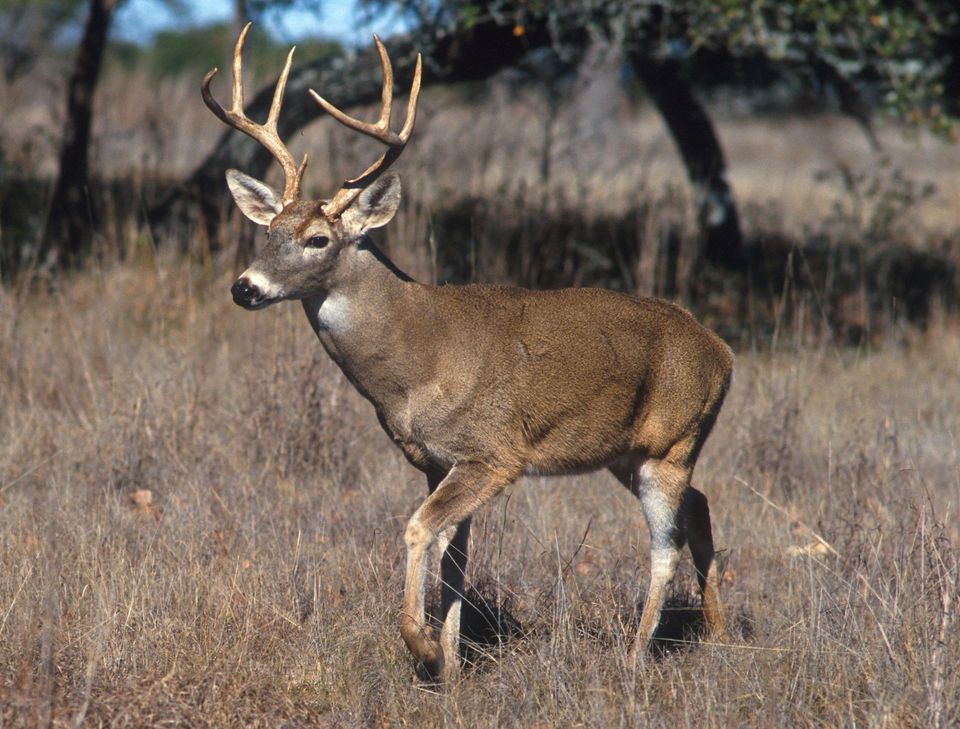
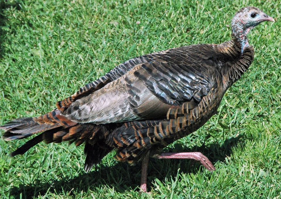
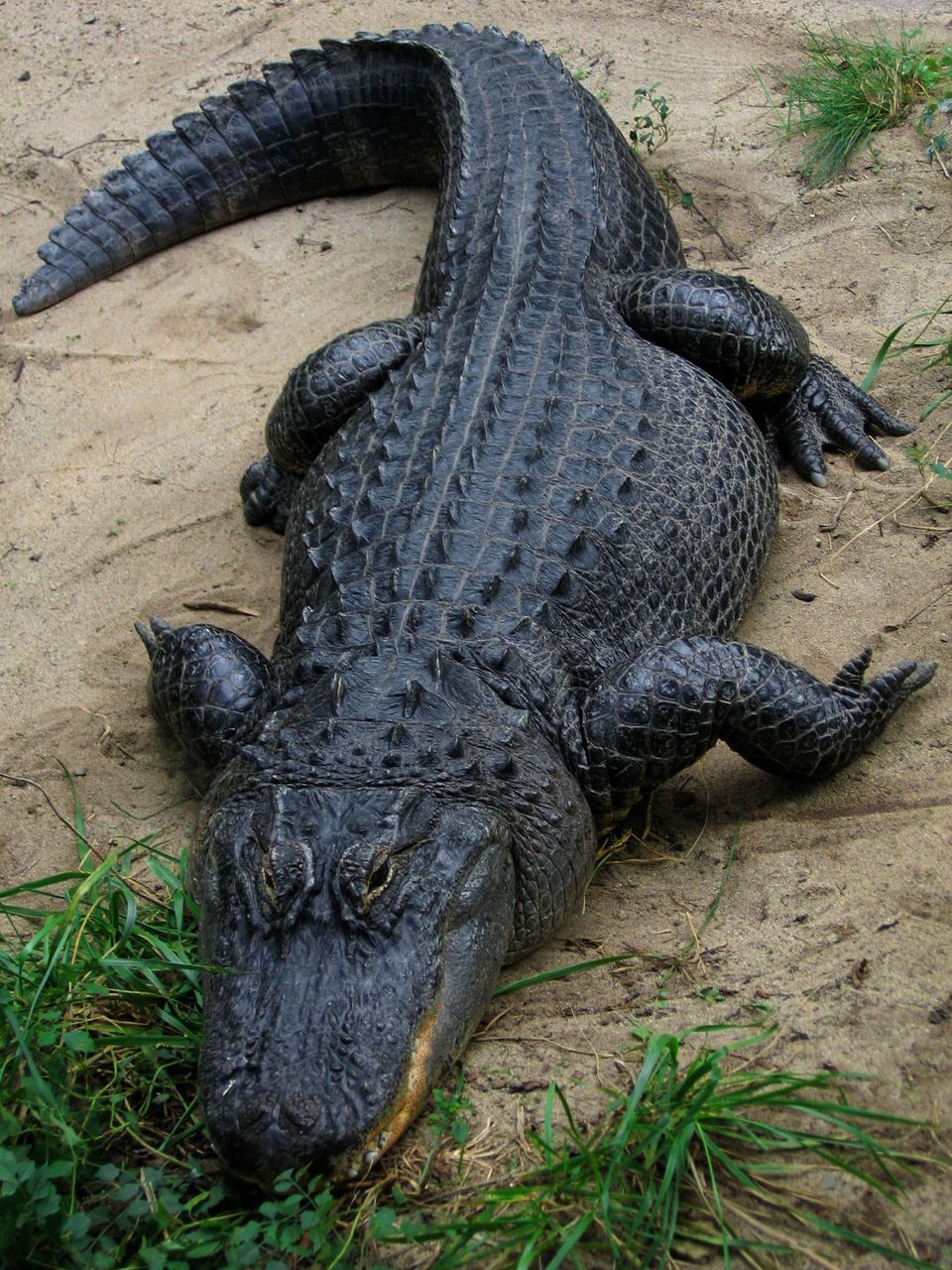
  • Wildlife heatmapsfor American Alligator, White-tailed Deer, Wild Turkey, and 9 more
  • Works offlinemaps, 26 trails, 79 places, and audio download before you lose signal
  • CarPlay readysimple controls built for the drive
★★★★★
“Fantastic app with many points of information… It’s great to just turn on while you’re driving and it gives you an audio tour of the national Park. We love it!!!!”
JMJamesApp Store review
Download Parkwolf on the App StoreGet Parkwolf on Google Play

4.7 from 8,600+ ratings

Guide

More about Jackson Falls

The route downA paved sidewalk descends about 900 feet to the falls.

A paved sidewalk descends about 900 feet to the falls. It is short, roughly five minutes going down, but very steep. There is a handrail along the way and stairs on part of the route, plus a bench about halfway if you want to break the climb back up. A fork splits the waterfall route from a Duck River overlook route, so read the signs if you want both views. Most people are done in fifteen minutes to half an hour, though it is easy to linger longer.

What you are looking atThe geology is the interesting part: Jackson Branch once drained into a high valley until the…

The geology is the interesting part: Jackson Branch once drained into a high valley until the Duck River captured it, a textbook case of stream piracy. Flooding and erosion then cut a new channel along faults in the rock, which is why the cascade steps down through such distinctly layered ledges. Interpretive information at the top fills in the story.

Practical detailsAuto parking right at the stop; the lot has no marked spaces
  • Auto parking right at the stop; the lot has no marked spaces
  • Picnic tables and grills, including a table under a pavilion, plus trash receptacles
  • Trailhead, scenic viewpoint, and interpretive exhibits at the top
  • Open year-round
Honest drawbacksDo not climb the falls.

Do not climb the falls. The surface is very slick and genuinely dangerous, and wet rocks anywhere near the water deserve the same respect. The path descends to the pool at the base, and the real work is the walk back up. If steep grades are hard on your knees or lungs, plan on stopping at the bench and taking it in stages.

Wildlife

Wildlife in Natchez Trace

All Natchez Trace wildlife maps

Sighting maps show where each species has been reported across Natchez Trace. Wildlife moves, so no sighting is guaranteed.

Parkwolf’s Natchez Trace ranking

Top sights in Natchez Trace

All 79 places
  1. 1Double Arch Bridge at Birdsong HollowSight
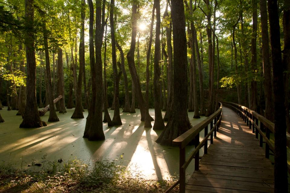
  2. 2Cypress SwampSight
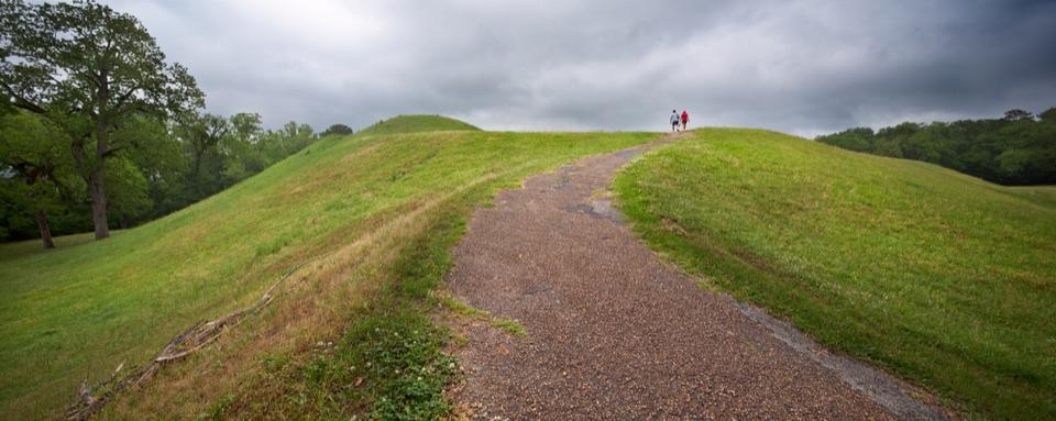
  3. 4Emerald MoundSight
  4. 5Reservoir OverlookSight
  5. 6Mount Locust Historic HouseSight
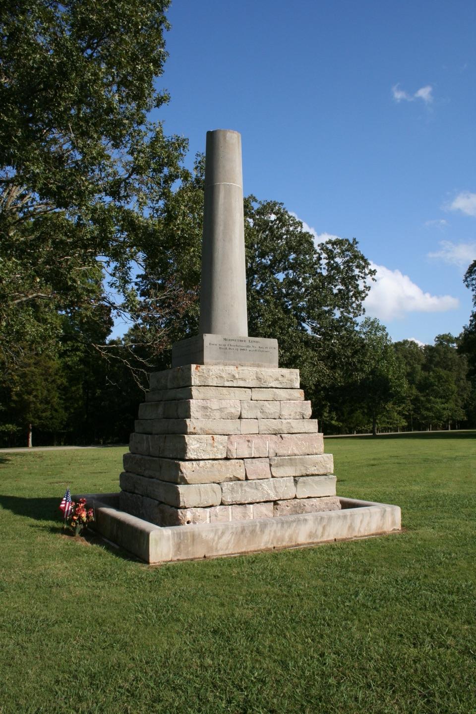
  6. 7Meriwether Lewis Monument and GravesiteSight

Take Parkwolf to Natchez Trace.

The audio tour guide for the drive, plus offline maps, trails, and wildlife heatmaps for when the signal drops.

4.7 from 8,600+ ratings

Download Parkwolf on the App StoreGet Parkwolf on Google Play