Line Creek Historical Marker in Natchez Trace Parkway

Historic marker · Natchez Trace Parkway

Line Creek Historical Marker

Roadside sign marking an old Chickasaw and Choctaw dividing line

Photo: National Park Service
Type
Historic marker
Audio stories
2 nearby
  • Exhibit
  • Parking

Hear the audio tour

Where Two Homelands Met

Overview

About Line Creek Historical Marker

Why stop

  • A concise, tangible window into Chickasaw and Choctaw land history

Heads up

  • A very brief stop centered on one interpretive sign
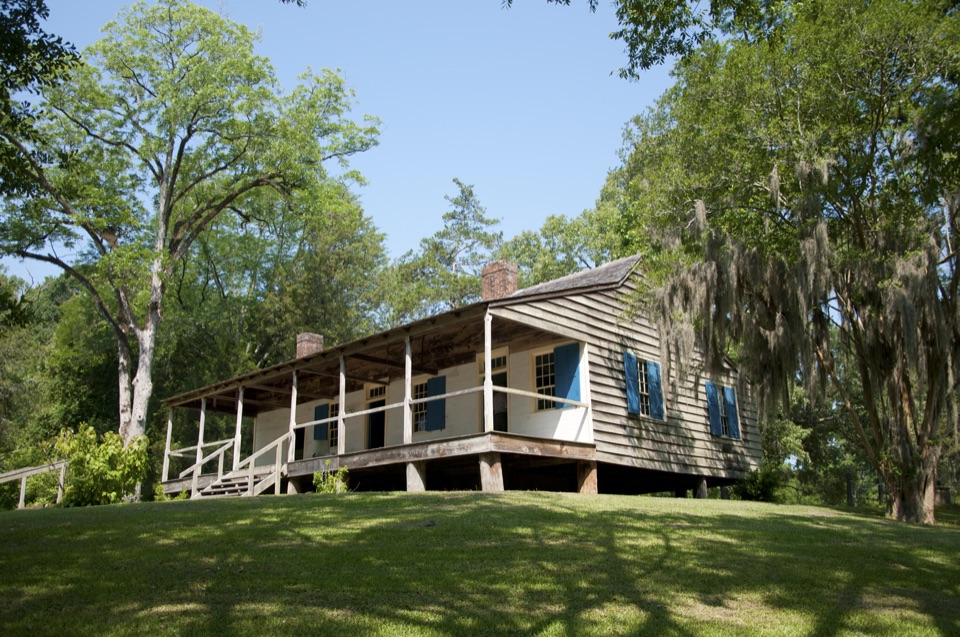
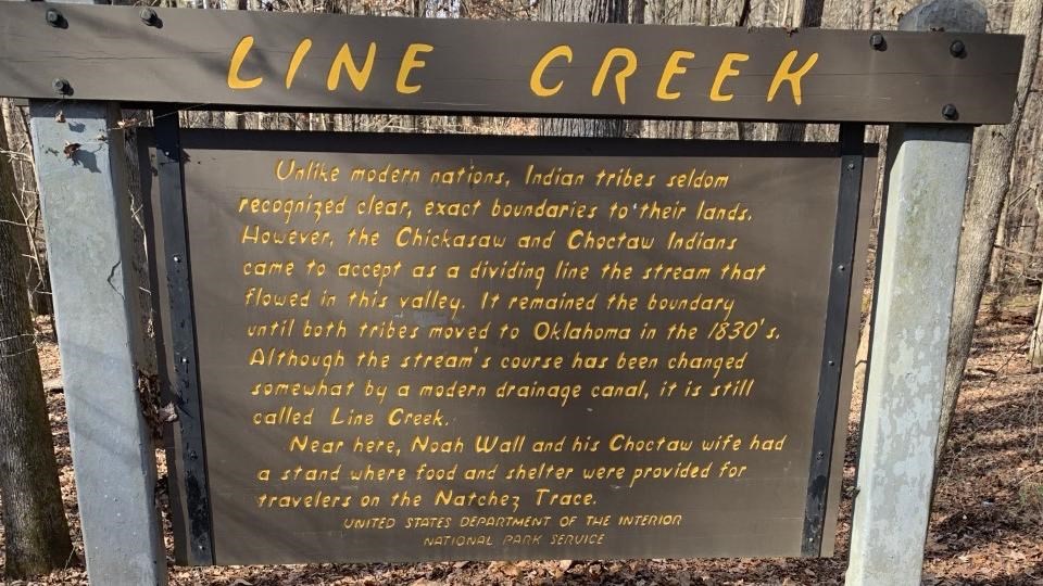
This is a short, concrete piece of the region's Indigenous history parked right beside the road. The sign explains that the Chickasaw and Choctaw accepted the stream in this valley as a dividing line between their lands, an arrangement that held until both tribes were forced to move to Oklahoma in the 1830s. It also notes that Noah Wall and his Choctaw wife kept a stand near here, providing food and shelter for travelers on the old Trace.
Parkwolf’s verdictWhy stop

Map

Where it is

Loading the Natchez Trace map
Full map
Historic markerLine Creek Historical Marker33.65322, -89.07260
Keep this map with you offline in the Parkwolf app

Plan your stop

Before you go

Best time to go

It sits one mile south of Mississippi Highway 15, on the left when driving north, near Mantee in Webster County at roughly 318 feet elevation. Come during daylight so you can read the panel, and treat it as a quick add-on between longer stops rather than a destination in itself.


4 active Natchez Trace alerts

  • ClosureParkway sections closed for bridge and road constructionTwo Natchez Trace Parkway sections are closed to through traffic; follow the signed detours.Official details
  • ClosureMount Locust historic stand closedThe historic stand at Mount Locust Inn & Plantation (MP 15.5) is closed because of structural concerns.Official details
See all 4 alerts
A park ranger sits on a dash-mounted phone, talking, as Parkwolf’s Tour Guide plays “Army Cutworm Moths: A Grizzly Bear Buffet” on Grand Loop Road below Dunraven Pass in Yellowstone
Parkwolf Tour GuideThe highest, rockiest slopes around here are a summer buffet for grizzly bears.

Natchez Trace Tour Guide

Your drive to Line Creek Historical Marker, narrated.

Parkwolf is a GPS audio tour guide for Natchez Trace Parkway. As you drive, it chimes in with what’s ahead: hidden gems, upcoming stops, history, geology, and wildlife, right through your car’s speakers.

Recorded for this area

Where Two Homelands Met
0:00 / 0:31
“Near Line Creek, a small roadside sign marks a boundary once recognized by the Chickasaw and Choctaw nations.”

Plays on the road 0.6 mi from Line Creek Historical Marker in the Parkwolf Natchez Trace Tour Guide.

More stories near here in the app

  • Paris Martin's Return
  • The Bee Hunter in the Canopy
  • The Forest's Persistent Singer
  • Pink on Bare Wood
  • 272 audio storiesacross Natchez Trace’s roads, triggered by GPS as you drive
  • Wildlife heatmapsfor American Alligator, White-tailed Deer, Wild Turkey, and 9 more
  • Works offlinemaps, 26 trails, 62 places, and audio download before you lose signal
  • CarPlay readysimple controls built for the drive
★★★★★
“Fantastic app with many points of information… It’s great to just turn on while you’re driving and it gives you an audio tour of the national Park. We love it!!!!”
JMJamesApp Store review
Download Parkwolf on the App StoreGet Parkwolf on Google Play

4.7 from 8,600+ ratings

Guide

More about Line Creek Historical Marker

What's actually hereA wooden interpretive sign and an auto pull-off at milepost 213.3.

A wooden interpretive sign and an auto pull-off at milepost 213.3. That's the whole stop: read the panel, look out over the valley, and continue. The stream itself is still called Line Creek, though its course was changed somewhat by a modern drainage canal, so the boundary line you're reading about doesn't sit exactly where it once ran.

How it differs from other Parkway stopsMost pull-offs along this drive lean toward scenery, walking paths, or preserved sections of…

Most pull-offs along this drive lean toward scenery, walking paths, or preserved sections of the original trace. This one is purely a plaque stop about a negotiated boundary between two nations, which makes it one of the more specific and human bits of storytelling on the route rather than a landscape viewpoint.

Honest drawbacksIt's a very brief stop centered on a single interpretive sign, with nothing to walk and no…

It's a very brief stop centered on a single interpretive sign, with nothing to walk and no expansive view to linger over. If you're short on time and choosing among Parkway stops, this one rewards curiosity about history more than anything else.

Wildlife

Wildlife in Natchez Trace

All Natchez Trace wildlife maps

Sighting maps show where each species has been reported across Natchez Trace. Wildlife moves, so no sighting is guaranteed.

Parkwolf’s Natchez Trace ranking

Top sights in Natchez Trace

All 62 places
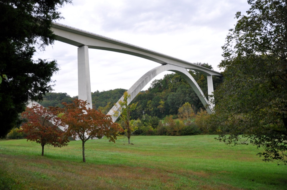
  1. 1Double Arch Bridge at Birdsong HollowSight
  2. 2Cypress SwampSight
  3. 3Jackson FallsSight
  4. 4Emerald MoundSight
  5. 5Reservoir OverlookSight
  6. 6Mount Locust Historic HouseSight

Take Parkwolf to Natchez Trace.

The audio tour guide for the drive, plus offline maps, trails, and wildlife heatmaps for when the signal drops.

4.7 from 8,600+ ratings

Download Parkwolf on the App StoreGet Parkwolf on Google Play