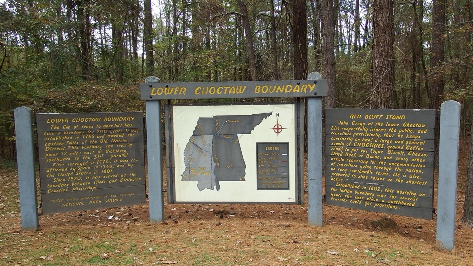
Lower Choctaw Boundary in Natchez Trace Parkway

Historic marker · Natchez Trace Parkway

Lower Choctaw Boundary

Two panels and a map explain a boundary held for two centuries

Photo: National Park Service
Type
Historic marker
Audio stories
3 nearby
  • Exhibit

Hear the audio tour

Lower Choctaw Boundary

Overview

About Lower Choctaw Boundary

Why stop

  • Boundary history and Red Bluff Stand story in one compact display

Heads up

  • Small, text-heavy stop with no scenic payoff
This roadside display sits at milepost 61.0, near Utica, Mississippi, on ground that is part of the traditional homeland of the Choctaw people. The line of trees interpreted here served as a boundary for roughly 200 years. Established in 1765, it marked the eastern limit of the Old Natchez District, running from a point 12 miles east of Vicksburg south to the 31st parallel.
Parkwolf’s verdictWhy this small stop matters

Map

Where it is

Loading the Natchez Trace map
Full map
Historic markerLower Choctaw Boundary32.14781, -90.72494
Keep this map with you offline in the Parkwolf app

Plan your stop

Before you go

4 active Natchez Trace alerts

  • ClosureParkway sections closed for bridge and road constructionTwo Natchez Trace Parkway sections are closed to through traffic; follow the signed detours.Official details
  • ClosureMount Locust historic stand closedThe historic stand at Mount Locust Inn & Plantation (MP 15.5) is closed because of structural concerns.Official details

See all 4 alerts
A park ranger sits on a dash-mounted phone, talking, as Parkwolf’s Tour Guide plays “Army Cutworm Moths: A Grizzly Bear Buffet” on Grand Loop Road below Dunraven Pass in Yellowstone
Parkwolf Tour GuideThe highest, rockiest slopes around here are a summer buffet for grizzly bears.

Natchez Trace Tour Guide

Your drive to Lower Choctaw Boundary, narrated.

Parkwolf is a GPS audio tour guide for Natchez Trace Parkway. As you drive, it chimes in with what’s ahead: hidden gems, upcoming stops, history, geology, and wildlife, right through your car’s speakers.

Recorded for this place

Lower Choctaw Boundary
0:00 / 0:24
“You're nearing Lower Choctaw Boundary, a small roadside display about a line established in 1765 at the edge of the Choctaw homeland. That line still separates Hinds and Claiborne Counties.”

Plays as you drive up to Lower Choctaw Boundary in the Parkwolf Natchez Trace Tour Guide.

More stories near here in the app

  • Coffee at the Choctaw Line
  • The Fly That Stalks a Fire Ant
  • The Dragonfly’s Empty Shell
  • The Salamander’s Change of Address
  • 272 audio storiesacross Natchez Trace’s roads, triggered by GPS as you drive
  • Wildlife heatmapsfor American Alligator, White-tailed Deer, Wild Turkey, and 9 more
  • Works offlinemaps, 26 trails, 62 places, and audio download before you lose signal
  • CarPlay readysimple controls built for the drive
★★★★★
“Fantastic app with many points of information… It’s great to just turn on while you’re driving and it gives you an audio tour of the national Park. We love it!!!!”
JMJamesApp Store review
Download Parkwolf on the App StoreGet Parkwolf on Google Play

4.7 from 8,600+ ratings

Guide

More about Lower Choctaw Boundary

The layered history on the panelsThe boundary was first surveyed in 1778, reaffirmed by Spain in 1793 and by the United States…

The boundary was first surveyed in 1778, reaffirmed by Spain in 1793 and by the United States in 1801, and since 1820 it has separated Hinds and Claiborne Counties. One panel walks through that sequence; the other tells the story of Red Bluff Stand, established in 1802 as a hostelry and supply store near the boundary. For several years it was the last place northbound travelers could pick up provisions before continuing through the Choctaw Nation.

What you actually seeA titled interpretive display with two text panels and a central map, set in woods.
  • A titled interpretive display with two text panels and a central map, set in woods.
  • The wooded setting itself, which is what the panels ask you to read as a boundary line rather than anything dramatically marked on the ground.
  • No structures remain in view from the Red Bluff Stand story; that history is told through text.
Practical expectationsThe approach is well paved and the display sits close to the road, so this works as a brief,…

The approach is well paved and the display sits close to the road, so this works as a brief, easy roadside interpretive stop and a chance to get out and stretch between longer driving stretches. Reading both panels and the map is the whole activity.

Honest drawbacksThe site is small and text-driven.

The site is small and text-driven. There is no grand view and nothing to walk to, and if you are not inclined to read interpretive panels there is little else to hold your attention. The historical weight here is considerable, but it is carried entirely by the words on the display, so slow down and read rather than expecting a scenic payoff.

Quick orientationVisitor coordinate: 32.1478053, -90.7249424.

Visitor coordinate: 32.1478053, -90.7249424. This is the Lower Choctaw Boundary display; a separate Upper Choctaw Boundary stop exists elsewhere along the route, so check the milepost before pulling over.

Wildlife

Wildlife in Natchez Trace

All Natchez Trace wildlife maps

Sighting maps show where each species has been reported across Natchez Trace. Wildlife moves, so no sighting is guaranteed.

Parkwolf’s Natchez Trace ranking

Top sights in Natchez Trace

All 62 places
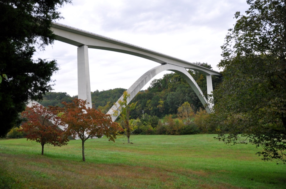
  1. 1Double Arch Bridge at Birdsong HollowSight
  2. 2Cypress SwampSight
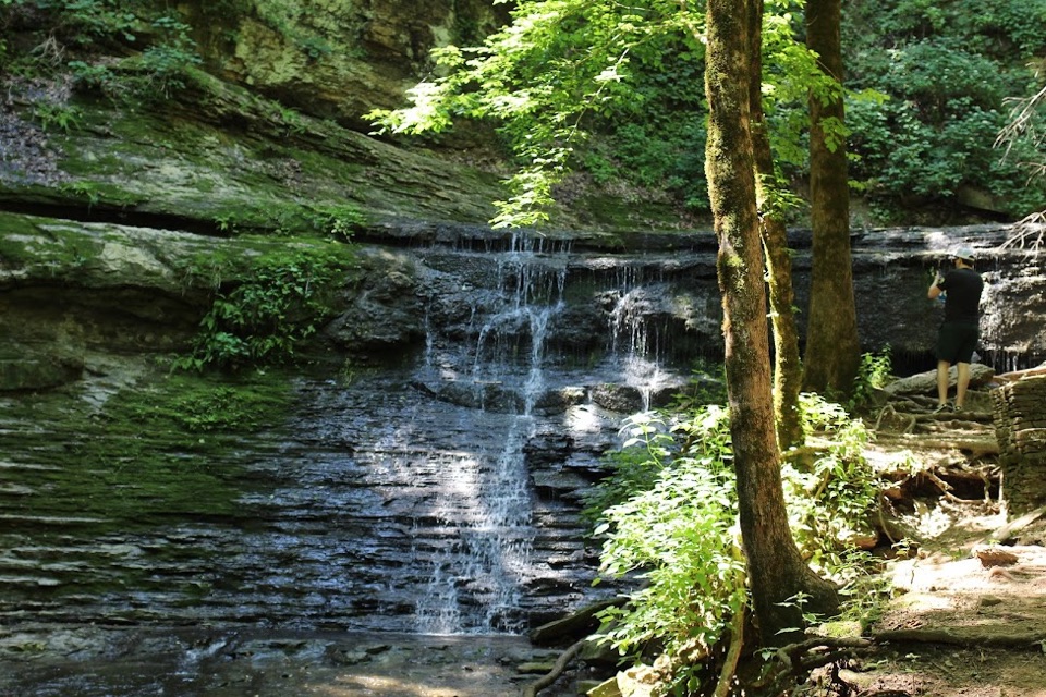
  3. 3Jackson FallsSight
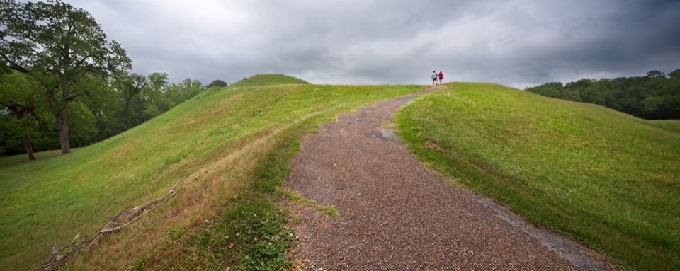
  4. 4Emerald MoundSight
  5. 5Reservoir OverlookSight
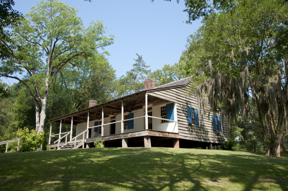
  6. 6Mount Locust Historic HouseSight

Take Parkwolf to Natchez Trace.

The audio tour guide for the drive, plus offline maps, trails, and wildlife heatmaps for when the signal drops.

4.7 from 8,600+ ratings

Download Parkwolf on the App StoreGet Parkwolf on Google Play