Twentymile Bottom Overlook in Natchez Trace Parkway

Sight · Natchez Trace Parkway

Twentymile Bottom Overlook

A bottomland view with an 1812 swamp-crossing story.

Photo: NPS Photo - J Farmer

Type
Sight
Audio stories
2 nearby
  • Parking
  • Picnic tables
  • Scenic viewpoint

Hear the audio tour

The Hard Part Was Flat
Download Parkwolf on the App StoreGet Parkwolf on Google Play

4.7 from 8,600+ ratings

Overview

About Twentymile Bottom Overlook

Why stop

  • A simple roadside pause with a vivid early-Trace story.

Heads up

  • Brush can obscure part of the view; large RVs may struggle to maneuver.

Map

Where it is

Loading the Natchez Trace map
Full map
SightTwentymile Bottom Overlook34.43030, -88.54960
Keep this map with you offline in the Parkwolf app

Plan your stop

Before you go

Parking and a photo

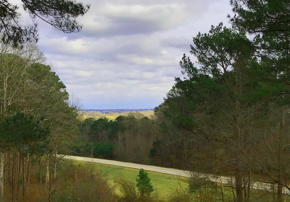
The overlook is directly off the parkway at milepost 278.4. Its parking area isn't a circular drive, and large RVs may have trouble maneuvering through it. For a landscape photo, keep some of the road low in the frame with the fields and distant hills beyond; the trees at the edges help show the broad shape of the bottom.

3 active Natchez Trace alerts

  • ClosureParkway closure at MP 159.5–165The Parkway is closed from State Highway 19/35 (MP 159.5) to State Highway 12 (MP 165) for road reconstruction; use the seven-mile detour.Official details
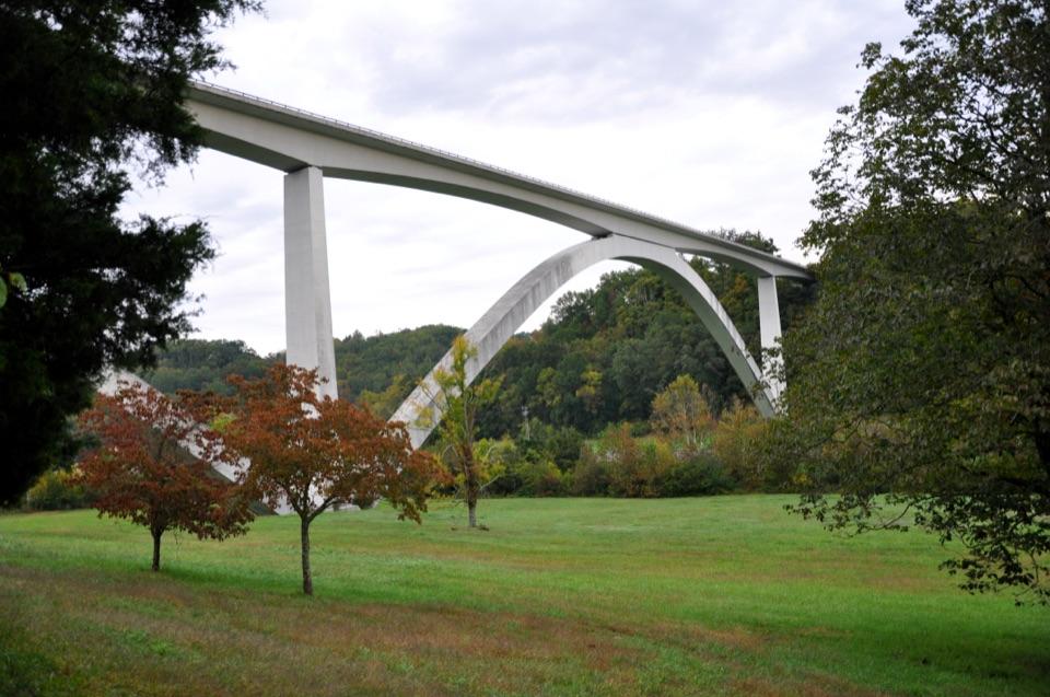
  • ClosureDouble Arch Bridge closure and detourThe Parkway is closed to through traffic at MP 437–440 for Double Arch Bridge construction; follow the signed detour.Official details
See all 3 alerts
A park ranger sits on a dash-mounted phone, talking, as Parkwolf’s Tour Guide plays “Army Cutworm Moths: A Grizzly Bear Buffet” on Grand Loop Road below Dunraven Pass in Yellowstone
Parkwolf Tour GuideThe highest, rockiest slopes around here are a summer buffet for grizzly bears.

Natchez Trace Tour Guide

Your drive to Twentymile Bottom Overlook, narrated.

Parkwolf is a GPS audio tour guide for Natchez Trace Parkway. As you drive, it chimes in with what’s ahead: hidden gems, upcoming stops, history, geology, and wildlife, right through your car’s speakers.

See the Natchez Trace audio tour

Recorded for this area

The Hard Part Was Flat
0:00 / 0:28
“Twentymile Bottom Overlook looks across farmland, but picture some of those fields as forest and swamp. Flat ground didn't necessarily mean easy traveling on the old Trace.”

Plays on the road 0.4 mi from Twentymile Bottom Overlook in the Parkwolf Natchez Trace Tour Guide.

More stories near here in the app

  • The Waterway's Hidden Climb
  • What Is Inside a Gumball?
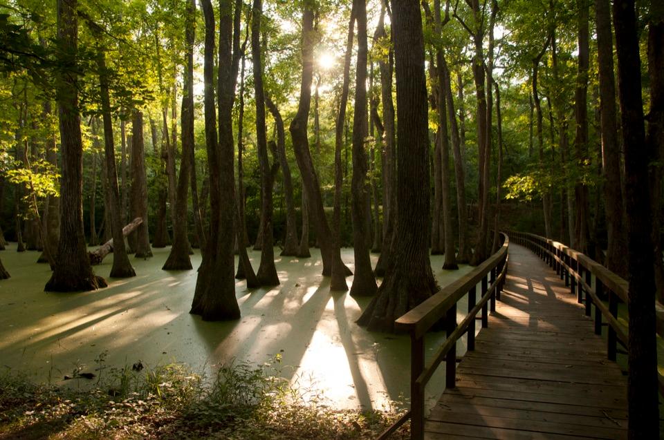
  • Where the Cypress Starts
  • The Falcon That Hovers
  • 272 audio storiesacross Natchez Trace’s roads, triggered by GPS as you drive
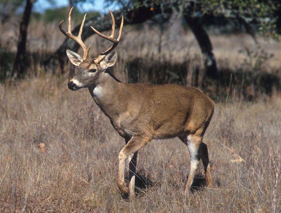
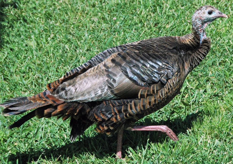
  • Wildlife heatmapsfor American Alligator, White-tailed Deer, Wild Turkey, and 9 more
  • Works offlinemaps, 26 trails, 79 places, and audio download before you lose signal
  • CarPlay readysimple controls built for the drive
★★★★★
“Fantastic app with many points of information… It’s great to just turn on while you’re driving and it gives you an audio tour of the national Park. We love it!!!!”
JMJamesApp Store review
Download Parkwolf on the App StoreGet Parkwolf on Google Play

4.7 from 8,600+ ratings

Guide

More about Twentymile Bottom Overlook

A quick view across the bottomTwentymile Bottom Overlook is a roadside viewpoint at milepost 278.

Twentymile Bottom Overlook is a roadside viewpoint at milepost 278.4 on the Natchez Trace Parkway, looking across broad cultivated bottomland to woods and distant hills. It makes a short leg-stretch stop with a picnic table. Come for the rural landscape and the story behind it, rather than a dramatic cliff view. Brush can partly screen the fields.

Imagine the swamp crossingThe bottom is farmed now, but low ground along the old Trace was once forest and swamp.

The bottom is farmed now, but low ground along the old Trace was once forest and swamp. In 1812, Reverend John Johnson wrote about swimming his horse five times, bridging one creek, fording several more and wading through a swamp before camping in the rain. This is a good place to picture how slow and soggy travel could be before the parkway.

Water was a serious challenge for early travelers here. The area averages about 55 inches of rain a year, and recorded years have topped 80. In the Southeast, the problem could be too much water rather than too little.

Wildlife

Wildlife in Natchez Trace

All Natchez Trace wildlife maps

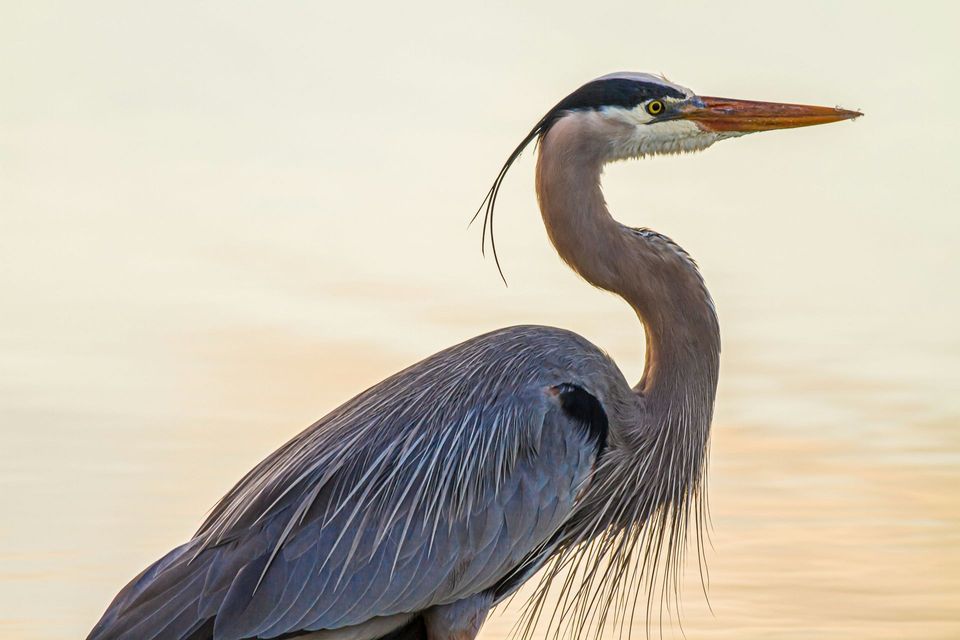
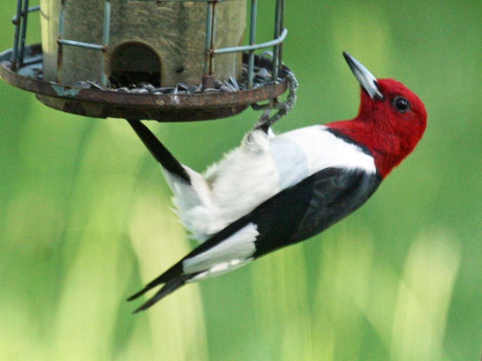
Sighting maps show where each species has been reported across Natchez Trace. Wildlife moves, so no sighting is guaranteed.

Parkwolf’s Natchez Trace ranking

Top sights in Natchez Trace

All 79 places
  1. 1Double Arch Bridge at Birdsong HollowSight
  2. 2Cypress SwampSight
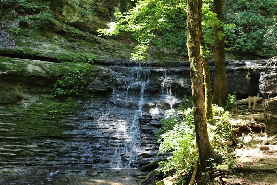
  3. 3Jackson FallsSight
  4. 4Emerald MoundSight
  5. 5Reservoir OverlookSight
  6. 6Mount Locust Historic HouseSight

Take Parkwolf to Natchez Trace.

The audio tour guide for the drive, plus offline maps, trails, and wildlife heatmaps for when the signal drops.

4.7 from 8,600+ ratings

Download Parkwolf on the App StoreGet Parkwolf on Google Play