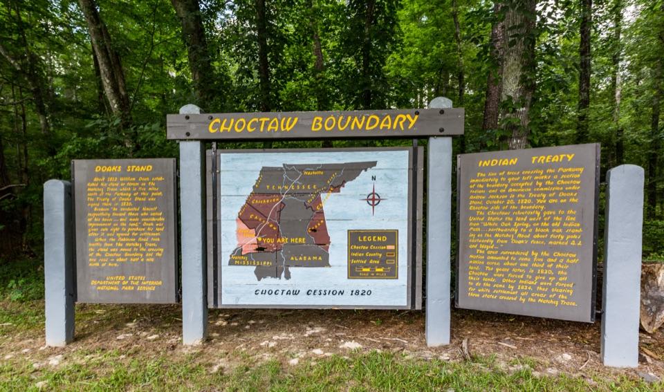
Upper Choctaw Boundary in Natchez Trace Parkway

Historic marker · Natchez Trace Parkway

Upper Choctaw Boundary

Read the boundary story, then stretch your legs beneath the pines.

Photo: Tony Webster from Minneapolis, Minnesota, United States, CC BY-SA 2.0, via Wikimedia Commons

Type
Historic marker
Audio stories
2 nearby
  • Parking
  • Exhibit
  • Trailhead

Hear the audio tour

The Boundary That Moved
Download Parkwolf on the App StoreGet Parkwolf on Google Play

4.7 from 8,600+ ratings

Overview

About Upper Choctaw Boundary

Why stop

  • The map and panels make the scale of Choctaw land loss tangible.

Map

Where it is

Loading the Natchez Trace map
Full map
Historic markerUpper Choctaw Boundary32.64271, -89.79620
Keep this map with you offline in the Parkwolf app

Plan your stop

Before you go

3 active Natchez Trace alerts

  • ClosureParkway closure at MP 159.5–165The Parkway is closed from State Highway 19/35 (MP 159.5) to State Highway 12 (MP 165) for road reconstruction; use the seven-mile detour.Official details
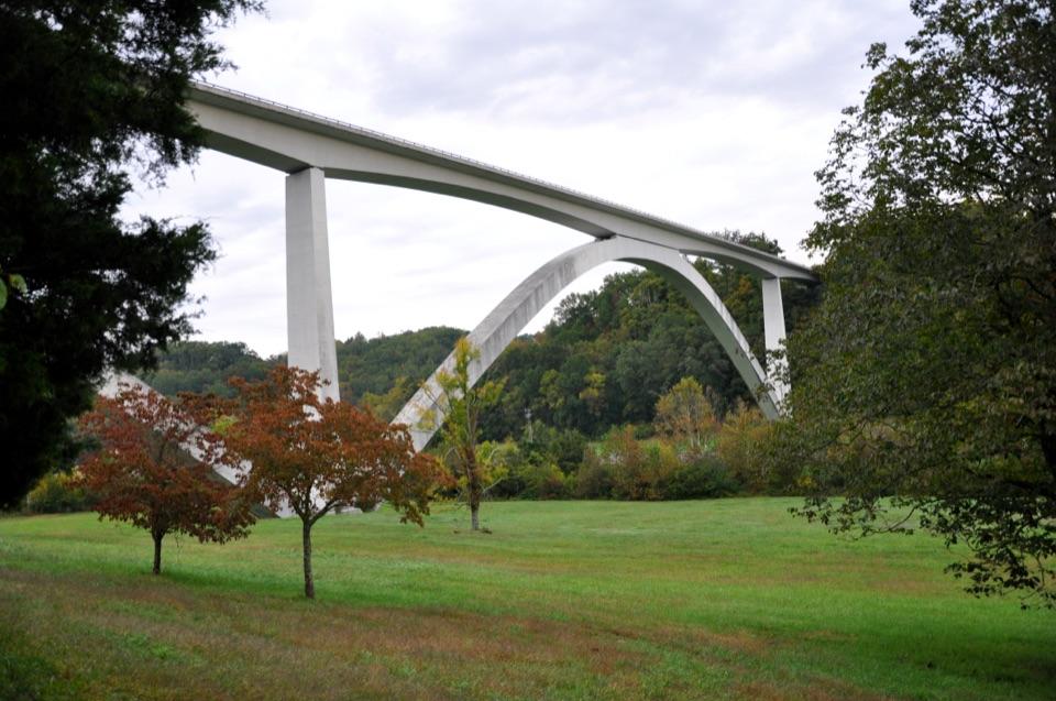
  • ClosureDouble Arch Bridge closure and detourThe Parkway is closed to through traffic at MP 437–440 for Double Arch Bridge construction; follow the signed detour.Official details

See all 3 alerts
A park ranger sits on a dash-mounted phone, talking, as Parkwolf’s Tour Guide plays “Army Cutworm Moths: A Grizzly Bear Buffet” on Grand Loop Road below Dunraven Pass in Yellowstone
Parkwolf Tour GuideThe highest, rockiest slopes around here are a summer buffet for grizzly bears.

Natchez Trace Tour Guide

Your drive to Upper Choctaw Boundary, narrated.

Parkwolf is a GPS audio tour guide for Natchez Trace Parkway. As you drive, it chimes in with what’s ahead: hidden gems, upcoming stops, history, geology, and wildlife, right through your car’s speakers.

See the Natchez Trace audio tour

Recorded for this area

The Boundary That Moved
0:00 / 0:30
“Near milepost 128, the Upper Choctaw Boundary stop marks land the Choctaw Nation ceded in 1820. The treaty was signed at Doak's Stand on the old Natchez Road.”

Plays on the road 0.7 mi from Upper Choctaw Boundary in the Parkwolf Natchez Trace Tour Guide.

More stories near here in the app

  • Why Swamp Water Looks Like Tea
  • The Trail Beside the Parkway
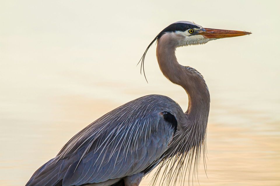
  • The Heron's Long Pause
  • A Forest That Changes for 444 Miles
  • 272 audio storiesacross Natchez Trace’s roads, triggered by GPS as you drive
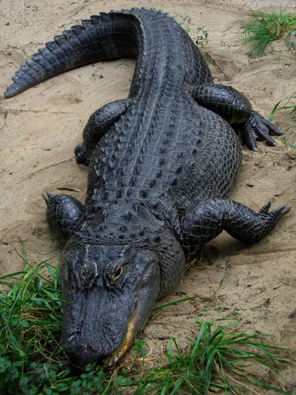
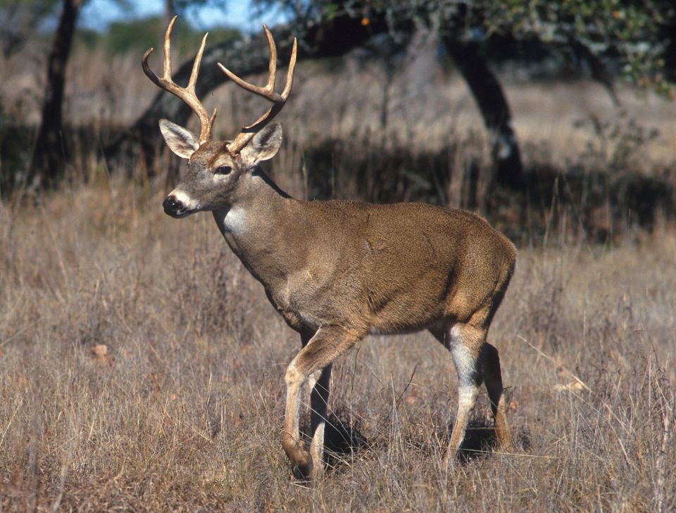
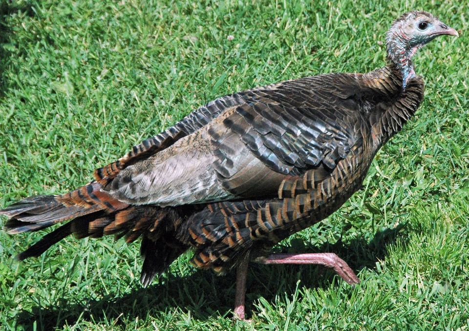
  • Wildlife heatmapsfor American Alligator, White-tailed Deer, Wild Turkey, and 9 more
  • Works offlinemaps, 26 trails, 79 places, and audio download before you lose signal
  • CarPlay readysimple controls built for the drive
★★★★★
“Fantastic app with many points of information… It’s great to just turn on while you’re driving and it gives you an audio tour of the national Park. We love it!!!!”
JMJamesApp Store review
Download Parkwolf on the App StoreGet Parkwolf on Google Play

4.7 from 8,600+ ratings

Guide

More about Upper Choctaw Boundary

Make a short stopUpper Choctaw Boundary is a roadside interpretive site at milepost 128.

Upper Choctaw Boundary is a roadside interpretive site at milepost 128.4, with a bank of panels, parking, and a short self-guided walk through pines. Stop to read the map and panels; this is a brief history break, not a long hike. The walk also reaches the Yockanookany section of the Natchez Trace National Scenic Trail. Its exact distance and surface aren't published, so treat it as an exploratory stroll rather than a measured route.

The boundary on the mapA line of trees crossing the Parkway marks part of the boundary recognized in the 1820 Treaty…

A line of trees crossing the Parkway marks part of the boundary recognized in the 1820 Treaty of Doak's Stand. The treaty was signed at Doak's Stand, a tavern about five miles north, and ceded roughly 5.5 million acres of Choctaw land. By 1820, a succession of agreements had taken about two-thirds of the Choctaw homeland; the map here makes that loss visible.

The removal that followedIn 1830, the Treaty of Dancing Rabbit Creek was negotiated at a council house near this spot…

In 1830, the Treaty of Dancing Rabbit Creek was negotiated at a council house near this spot and took the remaining Choctaw homeland, nearly 10.5 million acres. From 1831 to 1834, thousands of Choctaw were forced more than 500 miles west to Indian Territory. Inadequate clothing and supplies, severe weather, and too few wagons made the removal deadly. Reading that history at the boundary gives the line on the map its human scale.

Wildlife

Wildlife in Natchez Trace

All Natchez Trace wildlife maps

Sighting maps show where each species has been reported across Natchez Trace. Wildlife moves, so no sighting is guaranteed.

Parkwolf’s Natchez Trace ranking

Top sights in Natchez Trace

All 79 places
  1. 1Double Arch Bridge at Birdsong HollowSight
  2. 2Cypress SwampSight
  3. 3Jackson FallsSight
  4. 4Emerald MoundSight
  5. 5Reservoir OverlookSight
  6. 6Mount Locust Historic HouseSight

Take Parkwolf to Natchez Trace.

The audio tour guide for the drive, plus offline maps, trails, and wildlife heatmaps for when the signal drops.

4.7 from 8,600+ ratings

Download Parkwolf on the App StoreGet Parkwolf on Google Play