Parking
Use the Hurricane Creek pull-off on the Natchez Trace Parkway at milepost 164.3; the trail starts beside the parking area.
Natchez Trace Parkway, MS · AL · TN
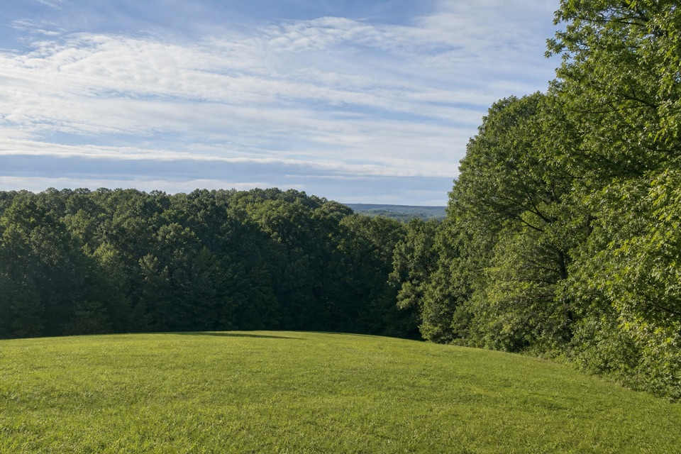
The Trace’s woods shift fast on this short creek-bottom loop.
Overview
Map & elevation
Plan your hike

The highest, rockiest slopes around here are a summer buffet for grizzly bears.
Natchez Trace Tour Guide
Parkwolf is a GPS audio tour guide for Natchez Trace Parkway. As you drive, it chimes in with what’s ahead: hidden gems, upcoming stops, history, geology, and wildlife, right through your car’s speakers.
Recorded for this trailhead
Hurricane Creek Nature Trail“You're approaching Hurricane Creek Nature Trail, a tiny loop that drops from a dry ridge into a damp ravine and climbs back through pines and hardwoods.”
Plays as you drive up to this trailhead in the Parkwolf Natchez Trace Tour Guide.
More stories near here in the app
“Fantastic app with many points of information… It’s great to just turn on while you’re driving and it gives you an audio tour of the national Park. We love it!!!!”


Trail guide
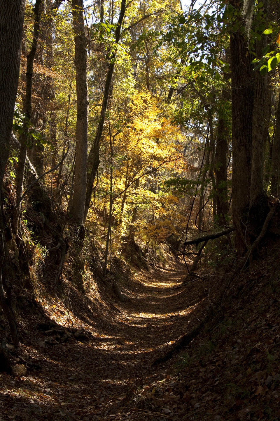
Hurricane Creek Nature Trail is an approximately 0.2-mile loop from milepost 164.3 on the Natchez Trace Parkway. It drops from the dry ridge into a damp creek-bottom hollow and climbs back through hardwood and pine forest. This is a short interpretive stop, not a destination hike; take it for a leg stretch and a quick look at how plants change with the soil.
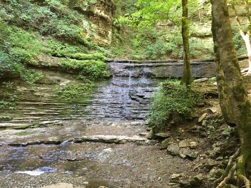
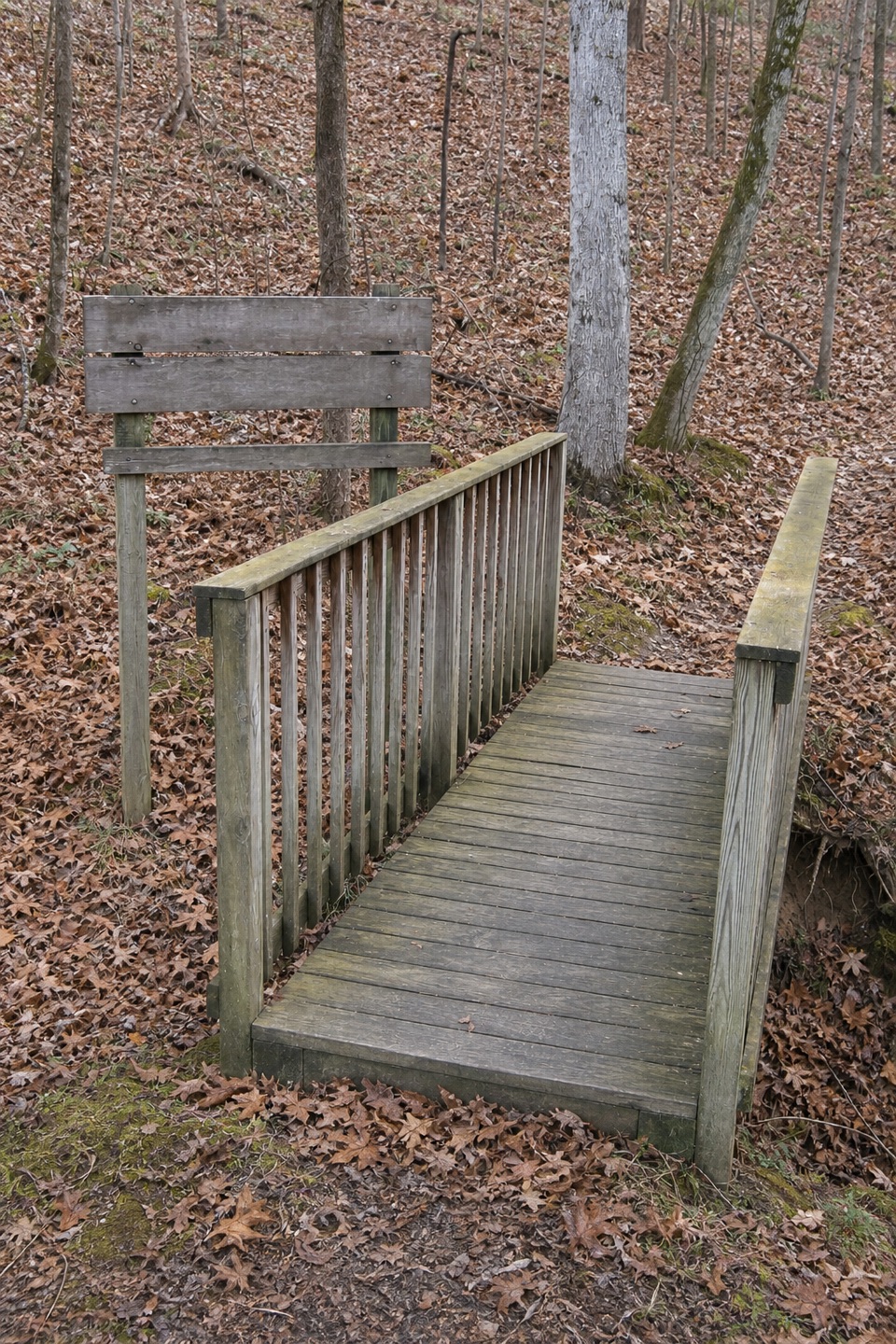
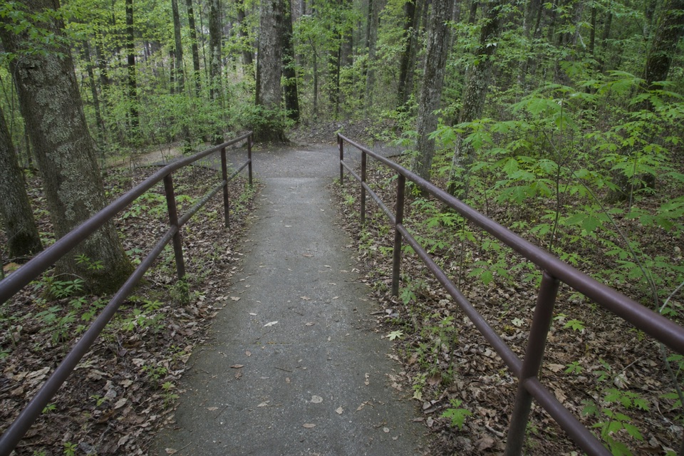
The path descends into a ravine beside Hurricane Creek, then turns uphill soon after reaching the damp bottom. An on-site account notes American beech and evergreen Christmas fern low down, with white oak, hickory, and southern pine higher on the slope. For the easier descent, go counterclockwise down the right-hand side: that short slope is paved and railed.
Start at the Hurricane Creek pull-off at milepost 164.3 and allow about 15 minutes for the loop and its interpretive signs. The walk is easy overall, though the slopes feel steep because they’re packed into a very short route.
Wildlife
 39 sightingsAmerican AlligatorMost seen around 6 PMSighting map
 35 sightingsWhite-tailed DeerMost seen around 7 AMSighting map
 53 sightingsWild TurkeyMost seen around 7 AMSighting map
 28 sightingsGreat Blue HeronMost seen around 6 PMSighting map
 29 sightingsRed-headed WoodpeckerMost seen around 7 AMSighting map
 32 sightingsTurkey VultureMost seen around noonSighting map
Sighting maps show where each species has been reported across Natchez Trace. Wildlife moves, so no sighting is guaranteed.
Parkwolf’s Natchez Trace ranking

The audio tour guide for the drive, plus offline maps, trails, and wildlife heatmaps for when the signal drops.