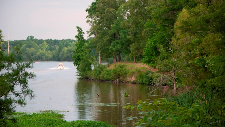
Parking
Cypress Swamp parking area at Natchez Trace Parkway Milepost 122 near Canton, Mississippi; the short loop starts at this site.

#1 of 26 trails in Natchez Trace
Natchez Trace Parkway, MS · AL · TN
A boardwalk, a pond loop, and a closer look at the swamp.
Overview
Map & elevation
Plan your hike

The highest, rockiest slopes around here are a summer buffet for grizzly bears.
Natchez Trace Tour Guide
Parkwolf is a GPS audio tour guide for Natchez Trace Parkway. As you drive, it chimes in with what’s ahead: hidden gems, upcoming stops, history, geology, and wildlife, right through your car’s speakers.
Recorded for this trailhead
Cypress Swamp and River Bend“You're coming up on Cypress Swamp, where a short boardwalk takes you into an old channel of the Pearl River. When the river shifted course, shallow water remained, and bald cypress and water tupelo took root.”
Plays as you drive up to this trailhead in the Parkwolf Natchez Trace Tour Guide.
More stories near here in the app
“Fantastic app with many points of information… It’s great to just turn on while you’re driving and it gives you an audio tour of the national Park. We love it!!!!”


Trail guide
This is the 0.4-mile Cypress Swamp loop at Milepost 122 near Canton, Mississippi: a brief, easy Parkway stop built around a boardwalk and interpretive stations. Allow about half an hour to walk slowly and read the signs; the circuit itself is often covered in about 20 minutes. The route starts with stairs down from the site into an abandoned channel of the Pearl River. The river changed course and left a shallow, silty basin where bald cypress and water tupelo took root when water levels fell. Their trunks rise from the water beside the boardwalk, and the signs explain how the wetland took shape.
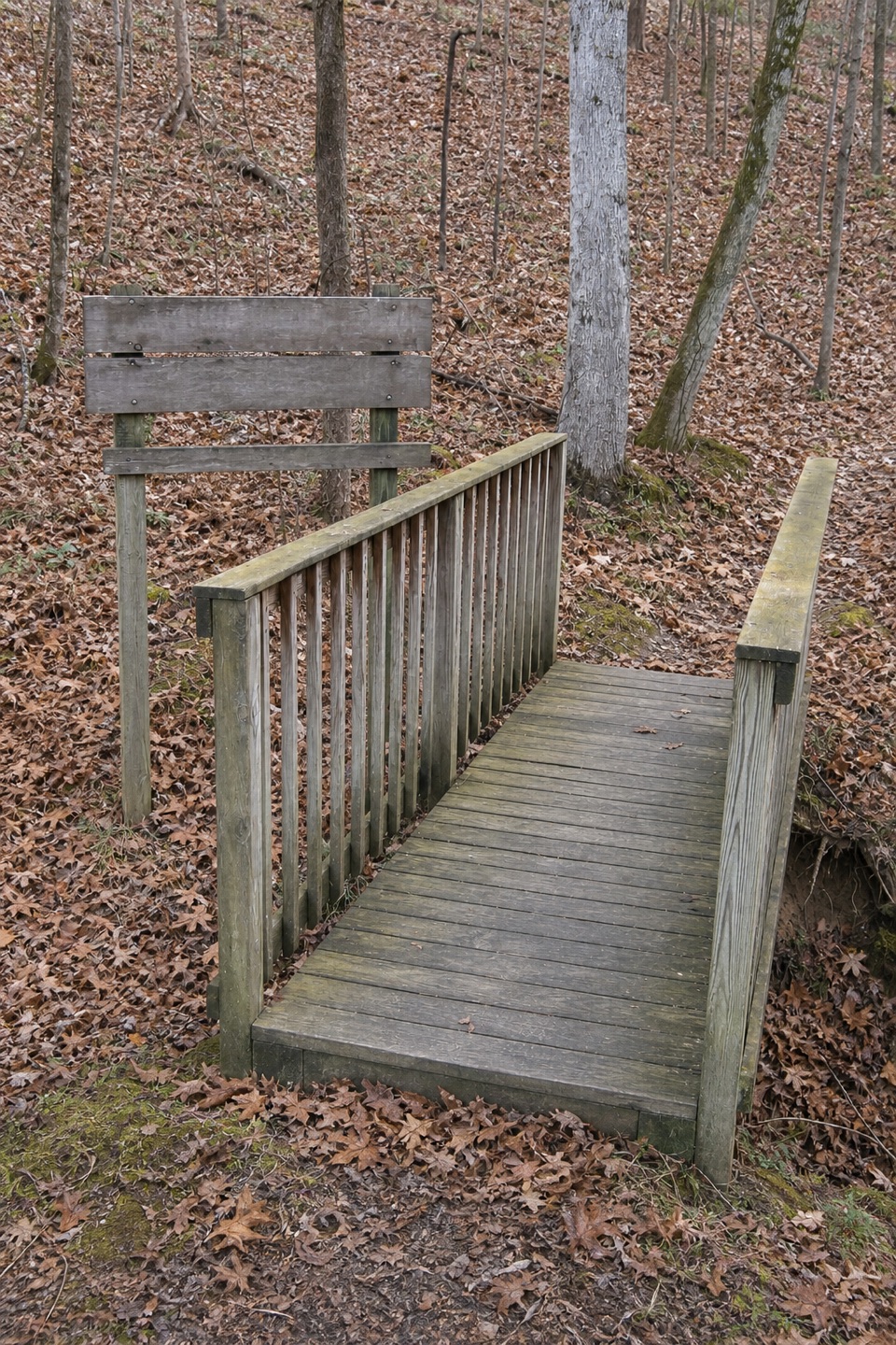
The opening boardwalk stretch and footbridge give the clearest swamp views. At the junction, the bridge to the right is a shortcut; take the longer branch to circle the pond, then follow the loop back across the bridge and up a gradual rise to the parking area. Aside from the entrance stairs and that return climb, the route stays flat. The pond loop is the reason to keep going; take the shortcut if you only want a quick look.
From the boardwalk, frame some water around the cypress trunks so the picture shows the swamp setting, not just the trees. Look carefully and you may spot juvenile alligators resting on floating logs or plants, but treat that as a possible extra rather than the point of the visit.
Use the Cypress Swamp parking area at Milepost 122. The short interpreted circuit stays at this site; the much longer Yockanookany section of the Natchez Trace National Scenic Trail starts across the paved Parkway and is a separate hike. Dogs may join on the loop in outdoor areas, on leash. The entrance staircase means the route is not confirmed as step-free; plan for steps down and a gentle climb back to the lot.
Wildlife
 39 sightingsAmerican AlligatorMost seen around 6 PMSighting map
 35 sightingsWhite-tailed DeerMost seen around 7 AMSighting map
 53 sightingsWild TurkeyMost seen around 7 AMSighting map
 28 sightingsGreat Blue HeronMost seen around 6 PMSighting map
 29 sightingsRed-headed WoodpeckerMost seen around 7 AMSighting map
 32 sightingsTurkey VultureMost seen around noonSighting map
Sighting maps show where each species has been reported across Natchez Trace. Wildlife moves, so no sighting is guaranteed.
Keep exploring
Parkwolf’s Natchez Trace ranking
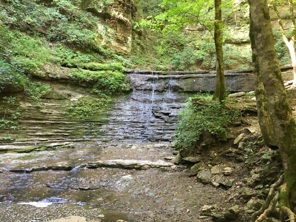 Jackson Falls TrailModerate · 0.4 mi
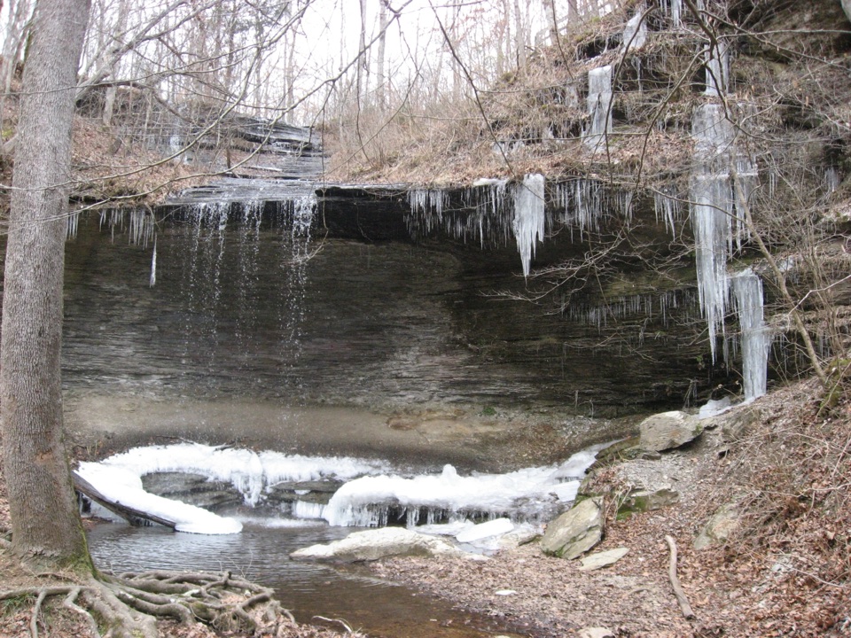 Fall Hollow Waterfall TrailEasy · 0.2 mi
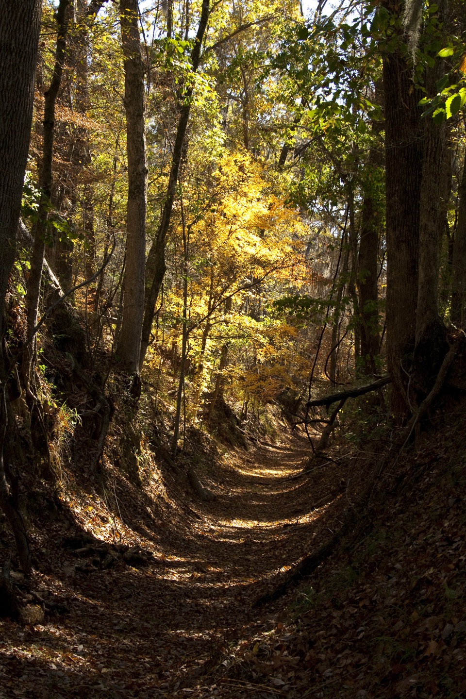 Potkopinu Section of the Natchez Trace National Scenic TrailModerate · 3.4 mi
 Devil's Backbone TrailModerate · 3.1 mi
 Little Mountain TrailModerate · 1.7 mi
 Old Natchez Trace: War of 1812 Memorial to Garrison CreekEasy · 1.7 mi
The audio tour guide for the drive, plus offline maps, trails, and wildlife heatmaps for when the signal drops.