Parking
Park at the Jackson Falls Rest Area, milepost 404.7. Auto parking, restrooms, a picnic shelter and grills are listed at the site. Start beside the restrooms and take the path to the right for the falls.
#2 of 26 trails in Natchez Trace
Natchez Trace Parkway, MS · AL · TN
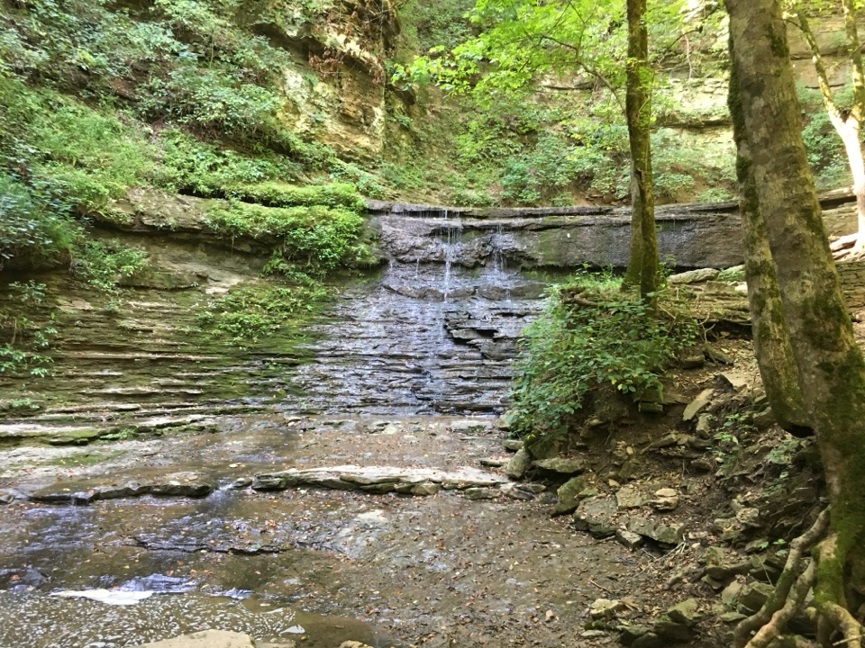
A steep paved descent ends at a clear pool beneath layered falls.
Overview
Map & elevation
Plan your hike

The highest, rockiest slopes around here are a summer buffet for grizzly bears.
Natchez Trace Tour Guide
Parkwolf is a GPS audio tour guide for Natchez Trace Parkway. As you drive, it chimes in with what’s ahead: hidden gems, upcoming stops, history, geology, and wildlife, right through your car’s speakers.
Recorded for this trailhead
Jackson Falls and Baker Bluff“You're coming up on Jackson Falls, with Baker Bluff Overlook nearby. The falls are one of only two on the Parkway, reached by a short but steep paved walk from the rest area; the climb back is the real effort.”
Plays as you drive up to this trailhead in the Parkwolf Natchez Trace Tour Guide.
More stories near here in the app
“Fantastic app with many points of information… It’s great to just turn on while you’re driving and it gives you an audio tour of the national Park. We love it!!!!”


Trail guide
Jackson Falls is a 0.41-mile out-and-back from the restroom-side path at the Natchez Trace Parkway’s milepost 404.7 rest area. The connected concrete route drops about 0.21 mile to a clear pool beneath a layered cascade, then climbs back the same way. This is a brief waterfall stop rather than a day hike; allow around 45 minutes so you can pause at the water and take your time on the steep return.
Go right from the restrooms to reach the falls. The paved path bends through the trees along a steep slope, with a handrail and a bench about halfway down. Near the bottom, concrete steps finish the descent. The route is short, but the grade is the commitment: every downhill step comes back uphill on the same path. The paving helps with footing, though this is not a level stroll and the climb can feel demanding if steep ramps or stairs are difficult for you.
The path reaches a clear pool at the base of the sculpted cascade. Layered shelves of rock give the water its stepped shape. The falls also mark a change in the local landscape: the Duck River captured Jackson Branch, cutting through faults in the rock and diverting the stream into Duck River Valley. Do not climb on the falls; the wet rock is very slick and dangerous. For a photo, keep the ledges and pool together in the frame so the cascade’s shape reads clearly.
Use the Jackson Falls Rest Area at milepost 404.7. The site has parking, restrooms, a picnic shelter and grills, useful if you want to make this a short stop or picnic. Follow the route on the restroom side and turn right for the waterfall. Baker Bluff Trail leaves to the left from the rest area and is a separate walk; it is not part of this out-and-back.
Wildlife
 39 sightingsAmerican AlligatorMost seen around 6 PMSighting map
 35 sightingsWhite-tailed DeerMost seen around 7 AMSighting map
 53 sightingsWild TurkeyMost seen around 7 AMSighting map
 28 sightingsGreat Blue HeronMost seen around 6 PMSighting map
 29 sightingsRed-headed WoodpeckerMost seen around 7 AMSighting map
 32 sightingsTurkey VultureMost seen around noonSighting map
Sighting maps show where each species has been reported across Natchez Trace. Wildlife moves, so no sighting is guaranteed.
Keep exploring
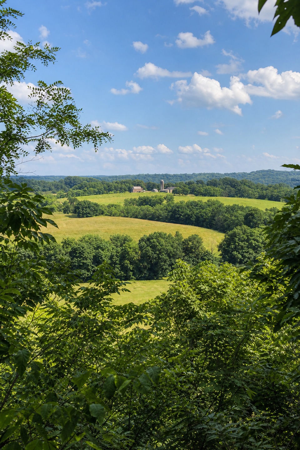 ModerateBaker Bluff Trail0.4 mi · 15 min · At the trailheadA short connector to a wide Tennessee view, with one steep pitch.
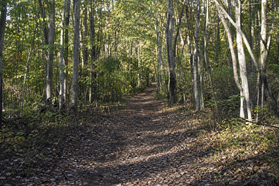 EasyOld Trace Walk (Milepost 403.7)0.6 mi · 15 min · 1 mi awayA short, wooded walk on the original Natchez Trace.
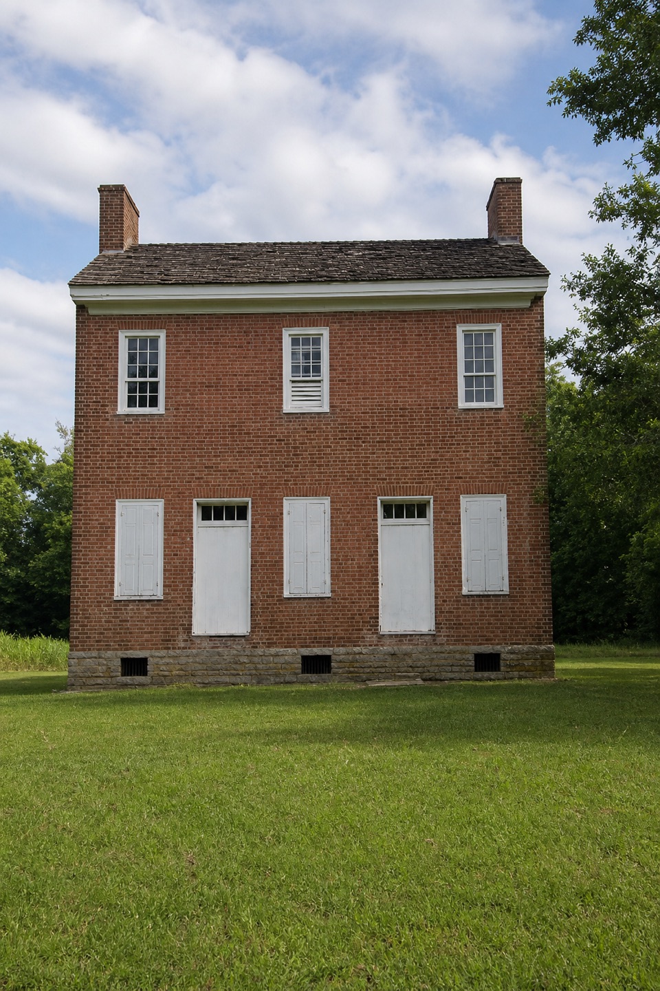 EasyHistoric Gordon House Trail0.7 mi · 30 min · 2.5 mi awayAn 1818 house and a former ferry crossing, in one short walk.
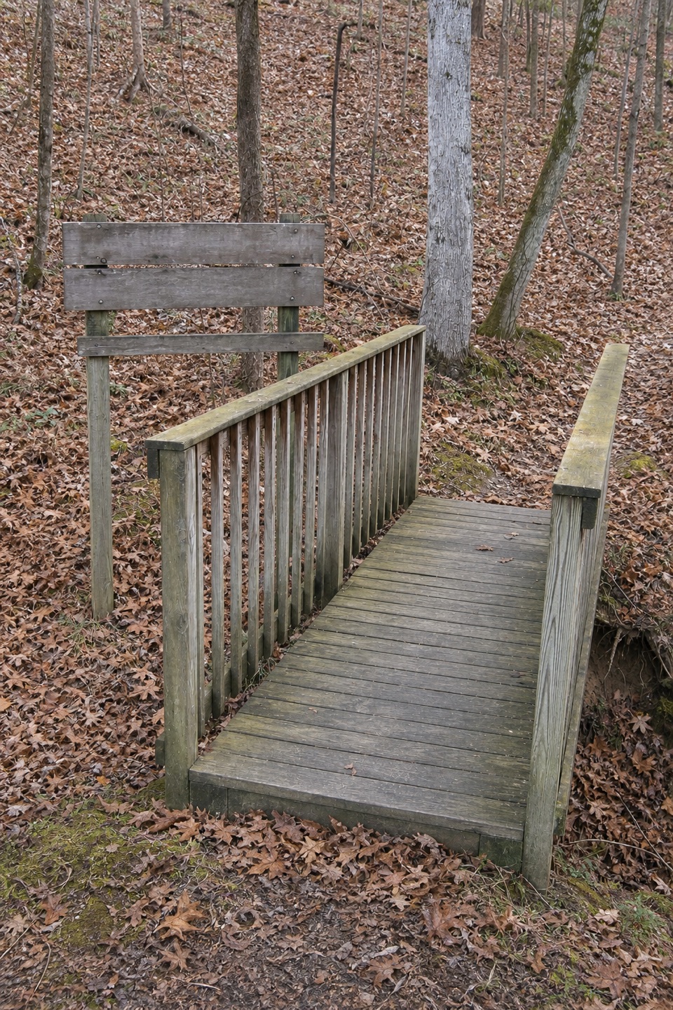 ModerateDevil's Backbone Trail3.1 mi · 1.5 hr · 9 mi awayA ridge trail drops into a creek hollow, then climbs back out.
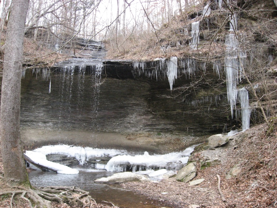 EasyFall Hollow Waterfall Trail0.2 mi · 15 min · 10.9 mi awayA quick paved walk to a 20-foot waterfall
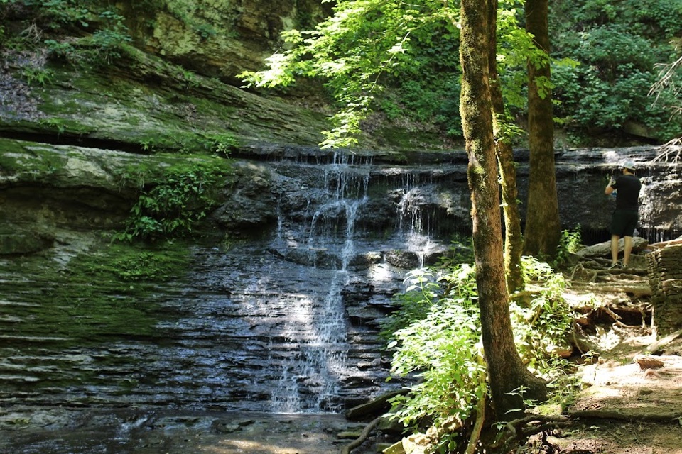 Sight · At the trailheadJackson FallsSteep 900-foot paved walk down to a sculpted cascade and pool
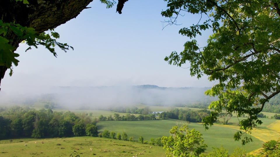 Sight · 0.3 mi awayBaker Bluff OverlookSeasonal rural vista over Tennessee farmland, barns and wooded ridges
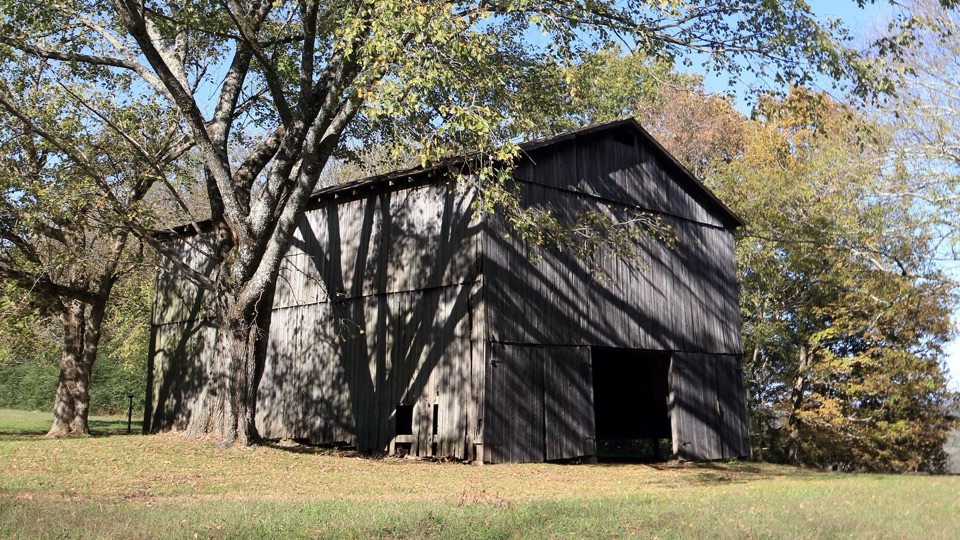 Sight · 2.4 mi awayTobacco Barn and Old Trace DriveStep inside a historic barn, then drive two miles of Old Trace
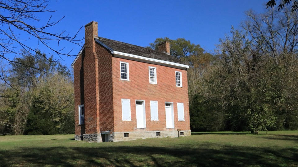 Sight · 2.5 mi awayGordon House Historic SiteRare 1818 brick house from the Old Trace ferry days
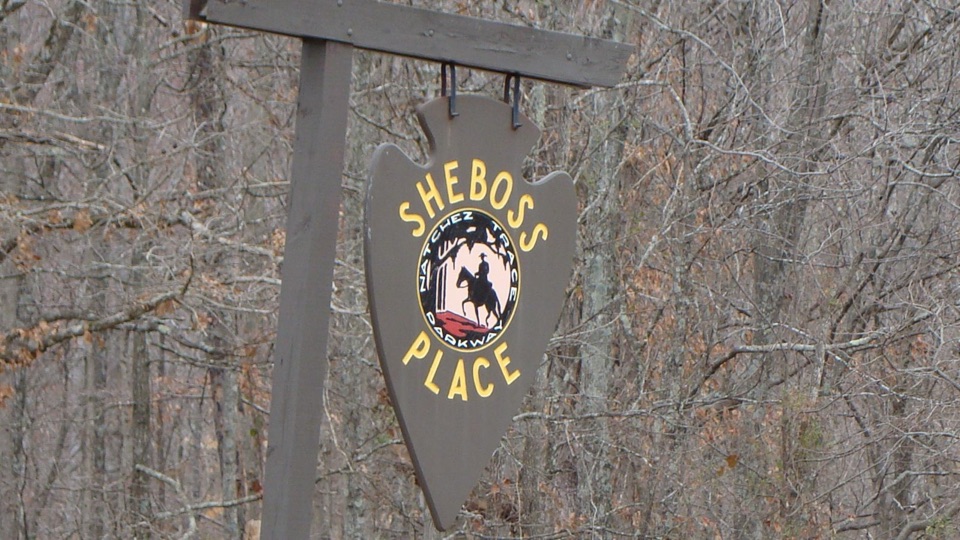 Sight · 3.2 mi awaySheboss PlaceRoadside arrowhead sign marking a vanished inn and a wry legend
Parkwolf’s Natchez Trace ranking
 Cypress Swamp WalkEasy · 0.4 miFall Hollow Waterfall TrailEasy · 0.2 mi
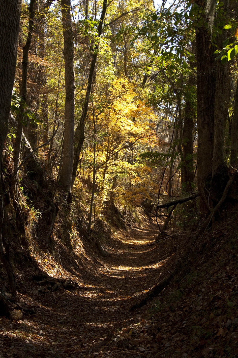 Potkopinu Section of the Natchez Trace National Scenic TrailModerate · 3.4 miDevil's Backbone TrailModerate · 3.1 mi
 Little Mountain TrailModerate · 1.7 mi
 Old Natchez Trace: War of 1812 Memorial to Garrison CreekEasy · 1.7 mi
The audio tour guide for the drive, plus offline maps, trails, and wildlife heatmaps for when the signal drops.