
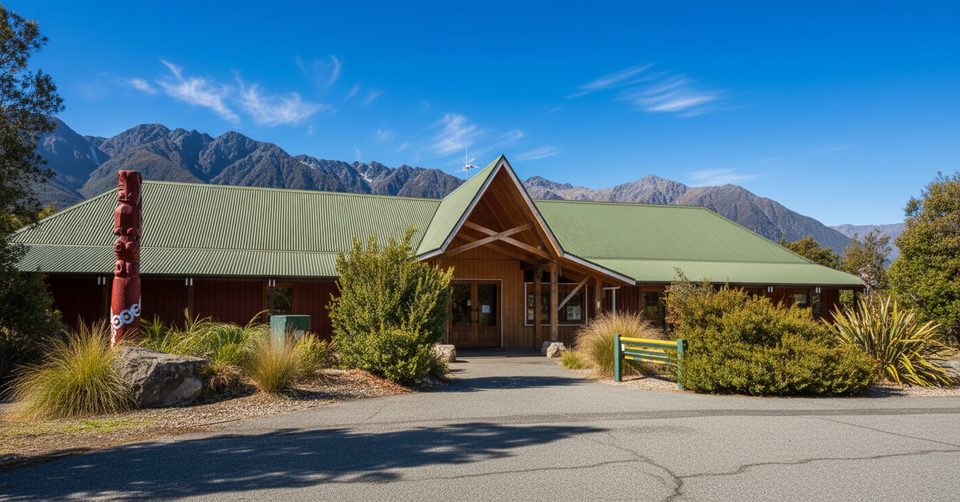
Place · 0.1 mi away
Easy
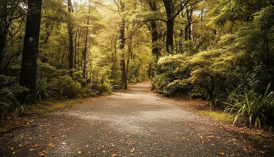
This is a 1 hour 30 minute forest loop starting and finishing at Kerr Bay on Lake Rotoiti. It strings together the Bellbird Walk and Honeydew Walk before turning onto the St Arnaud Range/Loop Track, then drops back to the lakeshore to return on the Lakehead Track. Expect a formed beech‑forest trail with short steeper bits, roots, and patches that can be muddy after rain. Distance isn’t published; plan your day by the 1.5‑hour DOC time for the full loop.
You’ll walk through classic honeydew beech forest inside the Rotoiti Nature Recovery Project. The dark, sooty trunks are a giveaway: scale insects feed on the trees and exude sugary “honeydew,” which fuels a busy web of birds, insects, and lizards. Birdsong is a feature—tui and bellbirds are common, with chances of robins, tomtits, fantails, and even the odd kākā or kākāriki. Keep an eye out for native beech mistletoes; their red and yellow flowers are a summer treat.
Start from the Kerr Bay car park by the east jetty. Follow the Bellbird Walk into the Honeydew Walk, then turn left for the St Arnaud Range/Loop Track. The path climbs a series of glacial terraces to a creek junction before looping down to the lakeshore. Join the Lakehead Track to close the loop back to your car. The loop itself isn’t wheelchair‑accessible, but those first two short walks are high‑standard paths and a nice warm‑up.
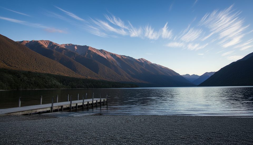
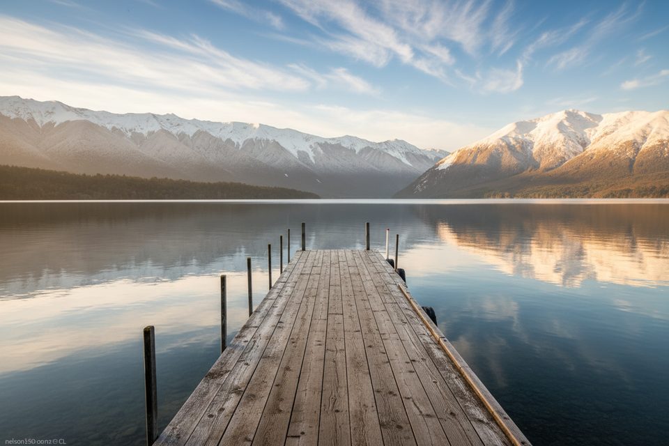
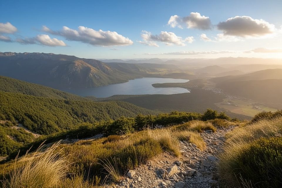
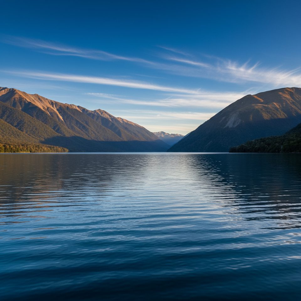
Highlights: abundant birds, living honeydew ecology, and quick detours to the lakeshore for classic Lake Rotoiti views toward Mt Robert and the Travers Valley. Trade‑offs: after rain the track gets muddy, and the forest sections are rooty in places, so shoes with grip matter.
Summer (December–February) is the sweet spot for comfortable temps, with beech mistletoe blooming mainly December–January. Nelson Lakes is an alpine area though—cold snaps can hit any time of year—so bring a warm layer and rain protection even on seemingly settled days.
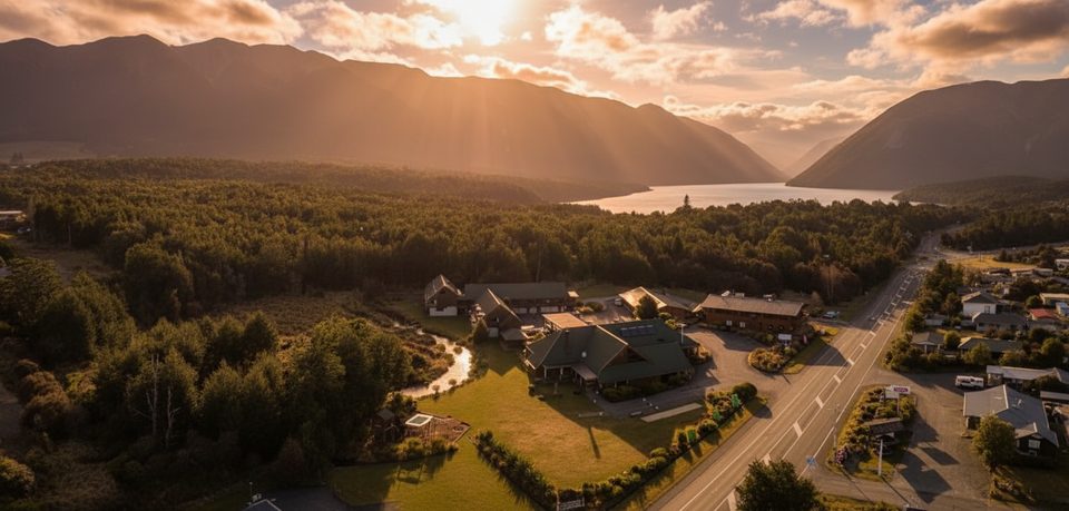
Kerr Bay car park by the east jetty at the end of Kerr Bay Road (St Arnaud).
Expect mud after rain; rooty footing; alpine park weather can be freezing any time—carry warm, waterproof layers.
Place · 0.1 mi away
Place · 0.1 mi away
Place · 0.1 mi away
Place · 0.2 mi away
Challenging · 0 mi away
Challenging · 0 mi away
Easy · 0.1 mi away
Challenging · 0.1 mi away

Parkwolf Tour Guide
