
Place · 0.1 mi away
Challenging
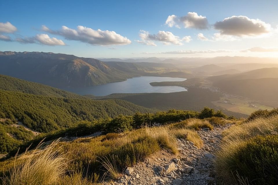
This is the park’s punchy skyline sprint: a 10.5–10.8 km total out‑and‑back from Kerr Bay that rockets over 1,045–1,070 m through beech forest to a tussocky ridge with wide‑angle views. Most parties take 4–5 hours return. It’s steep, exposed above the trees, and absolutely worth the sweat if the weather plays nice.
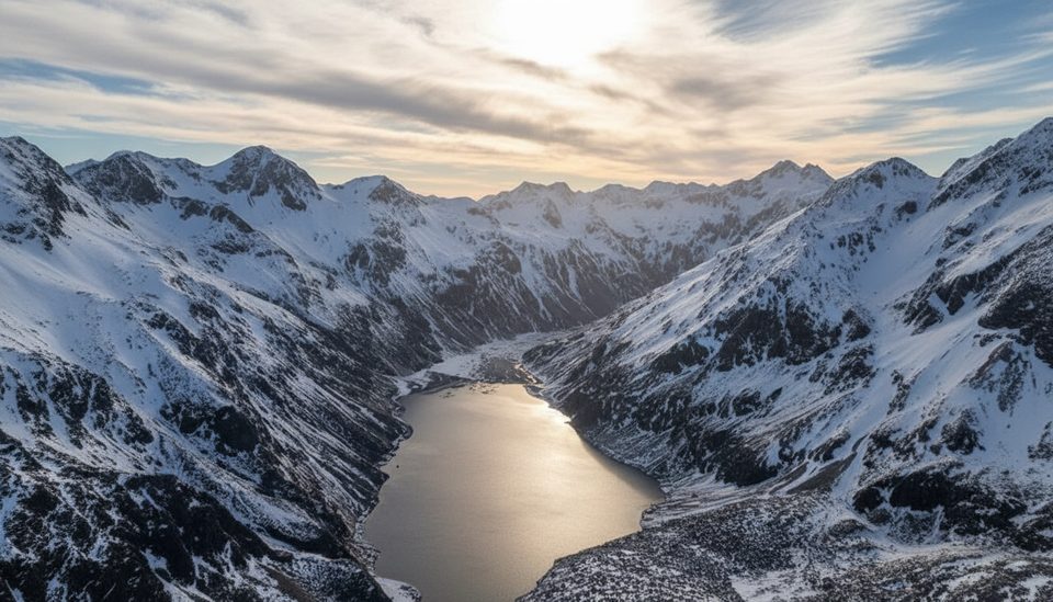
From the eastern corner of Kerr Bay on Lake Rotoiti, follow the Lakehead Track briefly, then turn left onto the St Arnaud Range Track (and again off the Honeydew Track). The path climbs glacial moraine terraces before settling into steady zig‑zags through red, then silver, then stunted mountain beech. After roughly two hours, you pop above the bushline (~1,400 m) at Parachute Rocks—an excellent viewpoint and sensible turnaround in marginal weather. From here, a poled route through snow tussock and alpine herbfields leads another ~30 minutes to the main ridge (~1,650–1,705 m). Strong parties sometimes tack on a short ridge wander to Point 1787 before returning the same way.
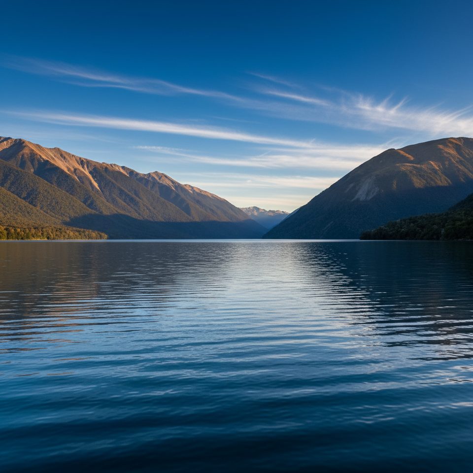
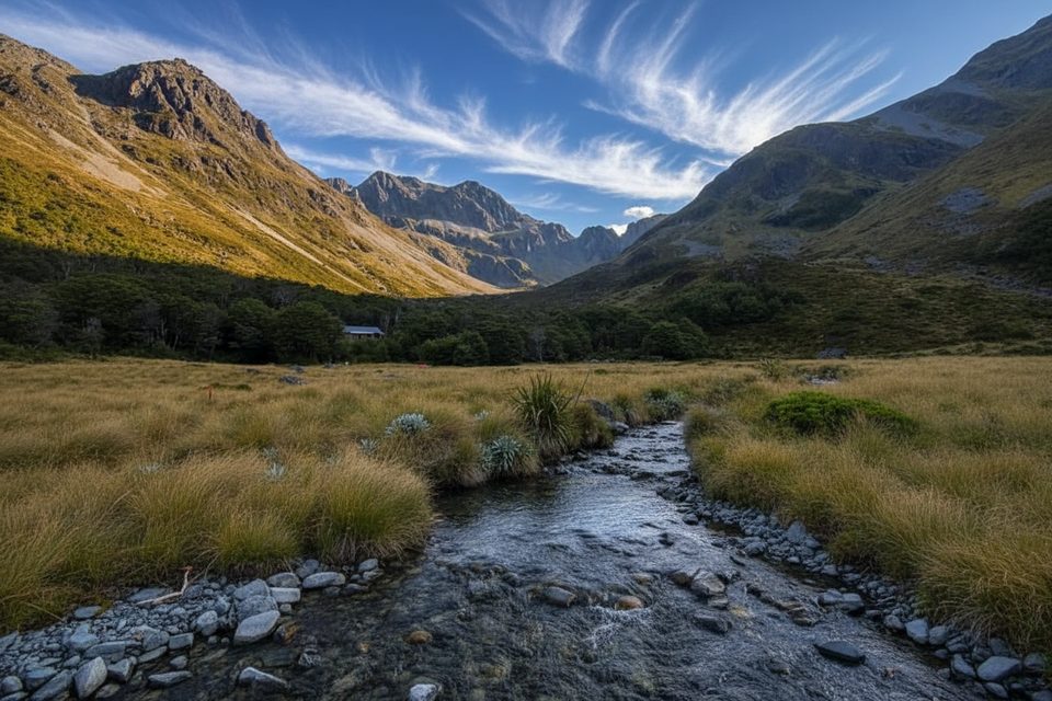
Expect classic glacial landforms (moraine terraces, truncated spurs) low down, and on top, a panorama that sweeps east down the Wairau Valley, north to Mt Richmond Forest Park, west toward Kahurangi and the Buller, and across the heart of Nelson Lakes. In late spring and early summer, the alpine herbfields burst with gold and white blooms. Views down to Lake Rotoiti are a constant payoff.
The climb is sustained and unforgiving on the descent. Above the bushline, the route is exposed to wind, cold, and winter snow/ice; it’s a poled alpine route—turn back if visibility deteriorates. Don’t follow blue trapline markers; stick with the orange track markers and ridge poles. Wasps are a known hazard from December to April, and sandflies are persistent near the lake. There are no rubbish bins—pack everything out.
Late spring through autumn offers the most reliable footing and the liveliest alpine flowers. Start early for calmer winds and softer light over Lake Rotoiti; the ridge can be blustery by afternoon. Winter is only for well‑equipped, experienced parties who can handle snow and ice.
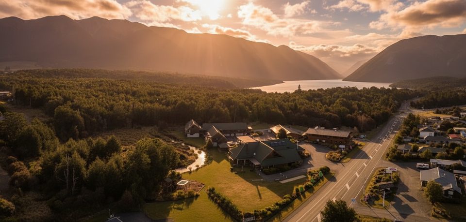
Trailhead parking is at Kerr Bay beside the campground and large info board; St Arnaud village is right there (about 88 km from Nelson, 129 km from Picton). Take warm, windproof, and waterproof layers year‑round, sturdy boots, sun/eye protection, and extra food/water. Poles help on the long descent; in shoulder/winter seasons, microspikes (and more) may be required. If the tops are clagged in, Parachute Rocks still delivers a great outing, or consider a lower‑level loop near the lake.
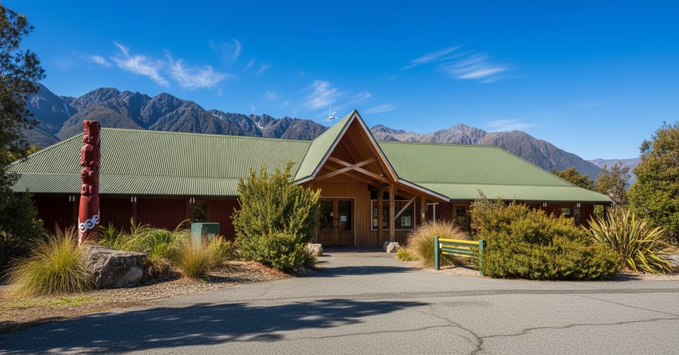
Kerr Bay carpark by the campground and trailhead info board at Lake Rotoiti.
Steep, sustained climb; exposed poled alpine route above bushline with rapidly changing weather. Do not follow blue trapline markers—stick to orange markers and poles. Wasps common Dec–Apr; sandflies near the lake. No rubbish bins—pack out all waste.
Place · 0.1 mi away
Place · 0.1 mi away
Place · 0.1 mi away
Place · 0.2 mi away
Challenging · 0 mi away
Easy · 0 mi away
Easy · 0.1 mi away
Challenging · 0.1 mi away

Parkwolf Tour Guide
