Parking
There is no road access to the trailhead. Reach Blue Lake Hut on foot from West Sabine Hut in about 3.5 hours on the Blue Lake Track. Book the starting hut; the crossing ends at Waiau Hut.

#9 of 57 trails in Nelson Lakes
Nelson Lakes National Park, TM
A remote, expert alpine crossing over Waiau Pass.
Overview
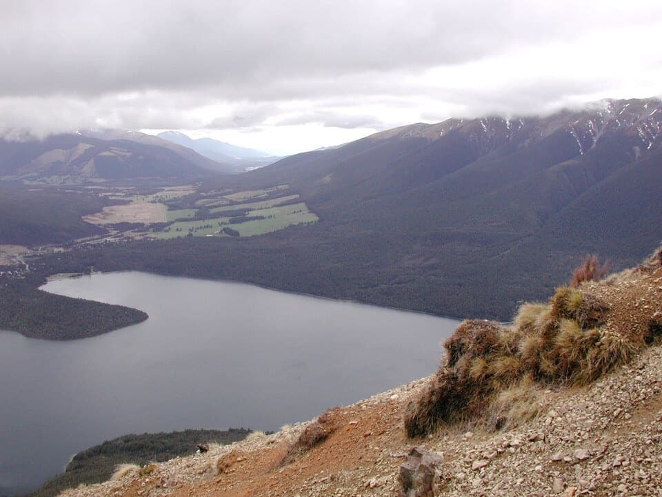
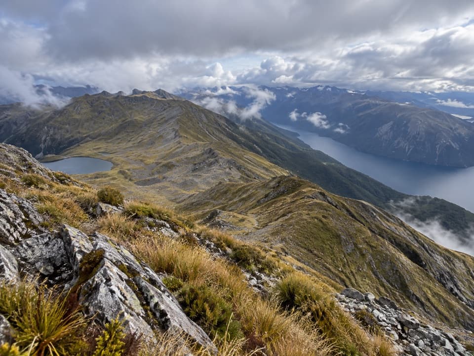
From the high traverse above Lake Constance, include the steep basin walls and shoreline in the frame; the setting gives the lake its scale. At the pass, the lake basin opens into an alpine skyline, then gives way to a long river-valley descent.
 Parkwolf’s verdictA view worth the climb
Map & elevation
Plan your hike

The highest, rockiest slopes around here are a summer buffet for grizzly bears.
Nelson Lakes Tour Guide
Parkwolf is a GPS audio tour guide for Nelson Lakes National Park. As you drive, it chimes in with what’s ahead: hidden gems, upcoming stops, history, geology, and wildlife, right through your car’s speakers.
“Fantastic app with many points of information… It’s great to just turn on while you’re driving and it gives you an audio tour of the national Park. We love it!!!!”


Trail guide
Waiau Pass Route is a one-way, 16.7 km alpine crossing from Blue Lake Hut to Waiau Hut over the 1,870 m Waiau Pass. Allow 10 to 13 hours. This is an expert tramp, not a day walk: the route is remote and calls for strong fitness, route-finding, river-crossing and snowcraft skills. Blue Lake Hut is reached on foot as part of the Travers-Sabine route, and both huts require bookings.
Leave Blue Lake Hut on the orange markers and poles. The route climbs the moraine holding Rotopōhueroa/Lake Constance, then stays high above the lake's western cliffs, crossing steep gullies and spurs before dropping to the shore near the lakehead, about 2.7 km from the hut. Don't follow the shoreline as a shortcut; bluffs and deep water bring it to a dead end. From the lakehead, follow the open valley floor for about a kilometre, crossing several streams, then climb scree and steep rock for about 1.5 km to the saddle. That final climb gains 530 m, and hard icy snow can linger on its upper slopes into December.
At 1,870 m, the pass is the crux. The south-side descent is very steep and technical, with loose rock and a real slip risk. From the saddle, follow the marked route to the right; going straight down into the valley is the wrong line. The route then reaches the west branch of the Waiau Uwha River, drops through thick subalpine scrub and crosses to the east branch near Upper Waiau Forks. A beech stand and informal camping clearing sit at the forks, but there is no hut there.
Below the forks, the marked route follows the river downstream, first on its true left, then crossing to the true right. Tread can be overgrown, so keep track of the orange markers. Expect more side-stream crossings, including Caroline Creek; allow about four hours from the forks to Waiau Hut. Caroline Creek Bivvy has been removed, so don't count on shelter there. Waiau Hut is the next roof, with six bunks, a non-flush toilet and untreated tap water that must be boiled.
Time estimates vary: one description gives 9 to 12 hours for the crossing, while its split section times add to 10 to 13. Plan for a full day and room for delays. Snow can be present on the south side at any time of year, and dangerous avalanches occur regularly. The recommended season is December to April, but summer does not guarantee safe conditions. If snow covers the south slope, turn back unless your party has the training and equipment to manage it, including an ice axe, crampons and avalanche rescue gear. Carry a distress beacon, emergency shelter and enough extra food for several days; weather or high rivers can keep parties at Blue Lake Hut longer than planned. There is no road access at the start, and dogs are not allowed.
Rotomairewhenua/Blue Lake and Rotopōhueroa/Lake Constance are tapu and culturally significant to Ngāti Apa ki te Rā Tō. Don't touch or swim in them, wash in them, take water, or put gear in the water. This also helps protect the lakes from lindavia, an invasive alga that causes lake snow. Hut taps provide untreated water, which must be boiled before drinking.
Wildlife
 20 sightingsNew Zealand FalconMost seen around 9 AMSighting map
 39 sightingsWekaMost seen around 7 AMSighting map
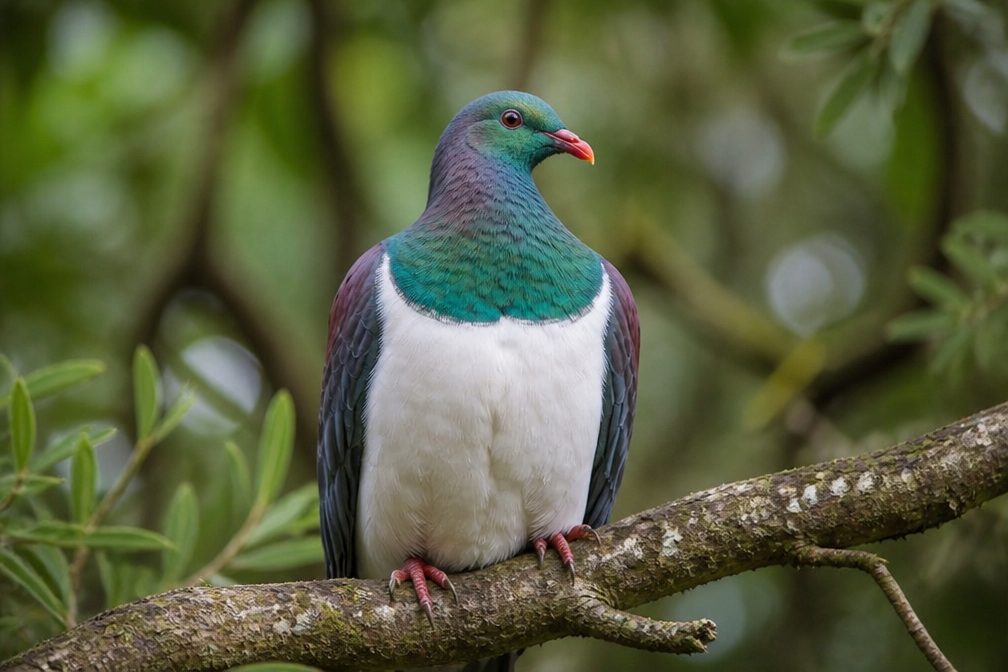 11 sightingsKererūMost seen around 9 AMSighting map
 55 sightingsBlack SwanMost seen around 8 AMSighting map
 23 sightingsParadise ShelduckMost seen around 6 AMSighting map
 17 sightingsTūīMost seen around 7 AMSighting map
Sighting maps show where each species has been reported across Nelson Lakes. Wildlife moves, so no sighting is guaranteed.
Keep exploring
 ChallengingRotopōhueroa/Lake Constance Track5.6 km · 5 hr · At the trailheadA steep moraine climb to a sacred alpine lake.
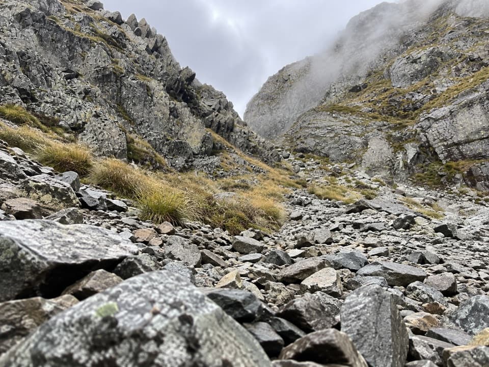 ChallengingMoss Pass Route6.6 km · 6 hr · At the trailheadA steep rocky pass opens views into two remote valleys.
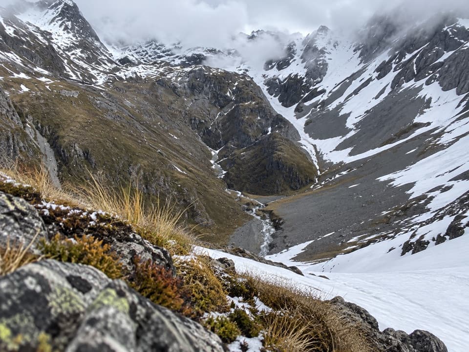 ChallengingThompson Pass Route5.4 km · 4.5 hr · 5.8 km awayA high alpine crossing for expert backcountry parties.
 ChallengingRotomairewhenua/Blue Lake Track15.4 km · 7 hr · 6.1 km awayThe clearest water comes after a long, serious alpine climb.
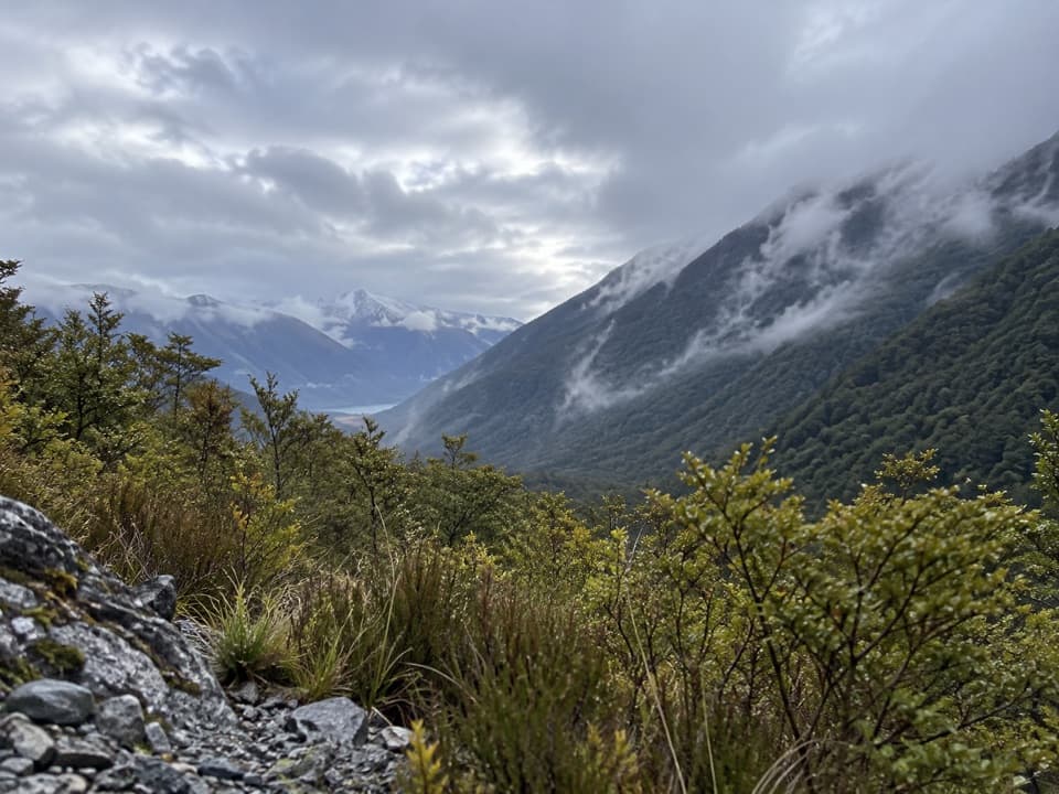 ModerateSabine Track15 km · 6 hr · 6.1 km awayOpen flats, a river gorge and a hut above Lake Rotoroa.
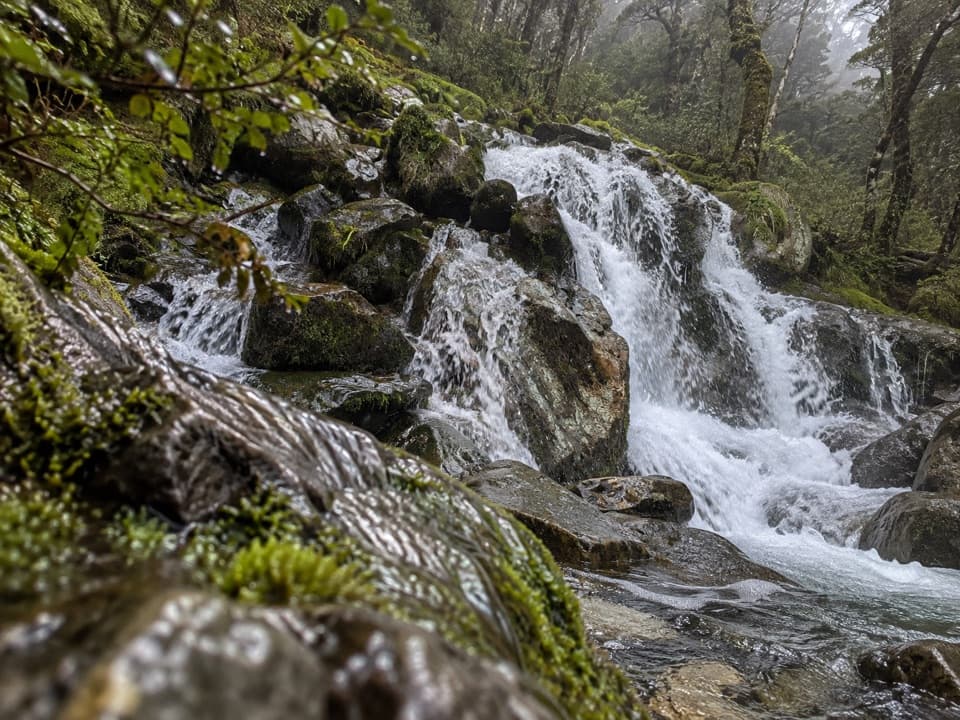 ChallengingMcKellar Stream Route4.9 km · 3.8 hr · 8.2 km awayA rough, remote descent from the Ella Range into Matakitaki Valley
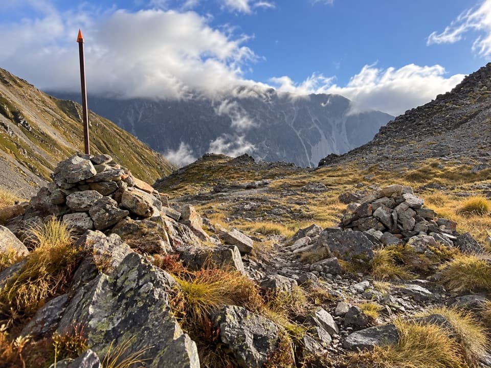 ChallengingPoukirikiri/Travers Saddle Route8.4 km · 7.5 hr · 8.9 km awayAn alpine pass links two remote valleys in one demanding day.
 ChallengingRainbow Pass from Upper Travers Hut6.1 km · 5.5 hr · 8.9 km awayA steep hut-to-pass return with tarn reflections and a high alpine finish.
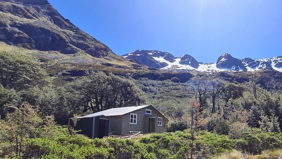 Lodging · At the trailheadBlue Lake HutA booked hut gives you time near the famously clear lake.Sight · 0.1 km awayRotomairewhenua / Blue LakeAn exceptionally clear alpine lake reached on a multi-day tramp.
 Sight · 2.5 km awayRotopōhueroa / Lake ConstanceTurquoise water beneath Waiau Pass, reached on a backcountry tramp.
 Lodging · 4.3 km awayGeorge Lyon HutA 16-bunk backcountry refuge deep in the D’Urville Valley.
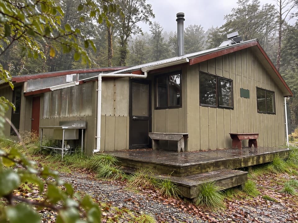 Lodging · 6.1 km awayWest Sabine HutA warm, 30-bunk stop on the high Travers–Sabine Circuit
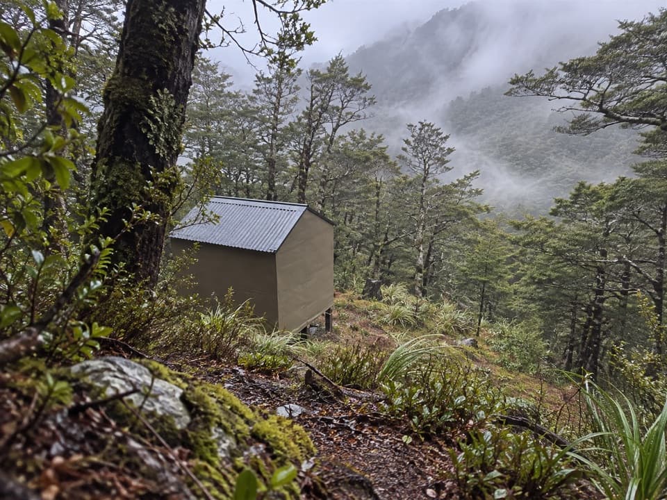 Lodging · 6.9 km awayUpper D'Urville HutTwo bunks in the bush, with an avalanche story in its past.
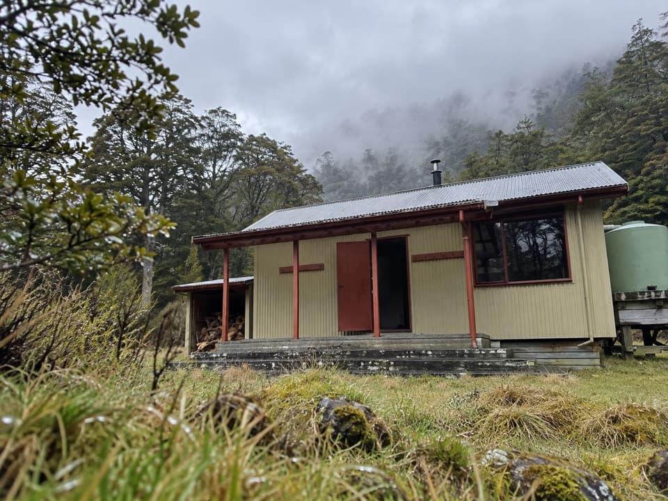 Lodging · 8.6 km awayMorgan HutAn overnight stop between two four-hour legs in the D’Urville Valley.
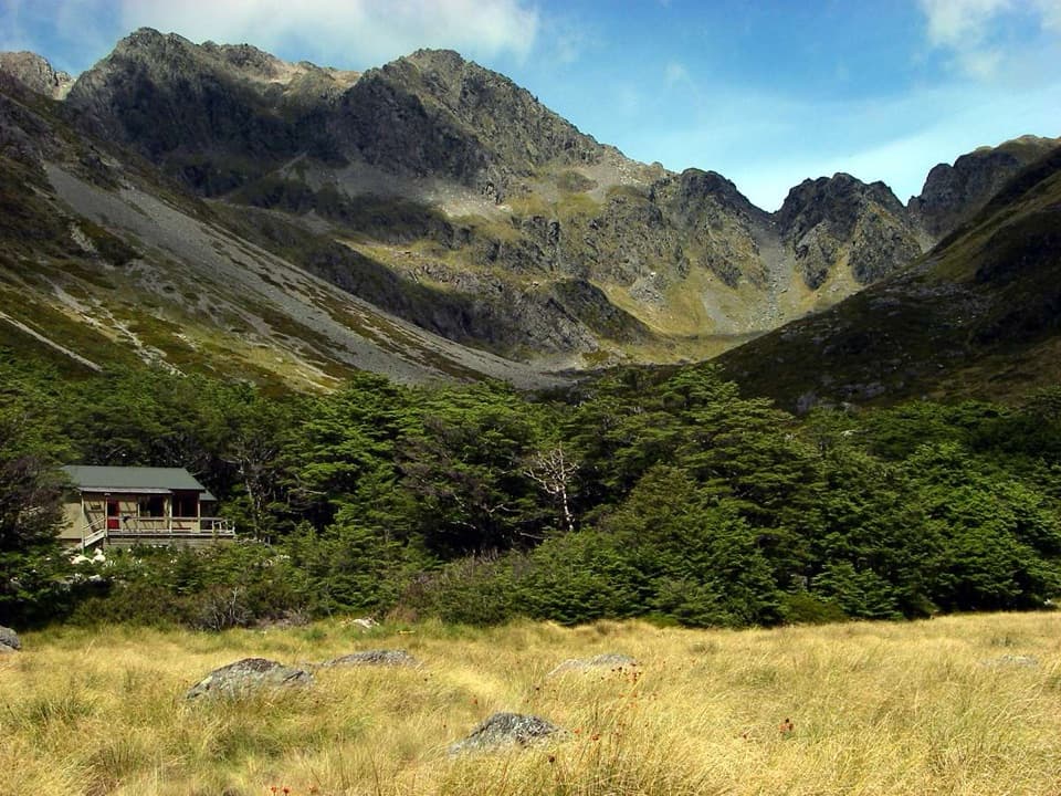 Lodging · 8.9 km awayUpper Travers HutSleep below Mount Travers on this demanding multi-day circuit.
Parkwolf’s Nelson Lakes ranking
The audio tour guide for the drive, plus offline maps, trails, and wildlife heatmaps for when the signal drops.