Parking
Start at the eastern end of Kerr Bay, where Lakehead Track leaves the shore. The loop returns from Mount Robert car park to St Arnaud by Mount Robert Road, then follows village roads back to Kerr Bay.

#5 of 57 trails in Nelson Lakes
Nelson Lakes National Park, TM
An 80 km alpine loop through remote valleys and a high pass.
Overview
This is the full 80 km Travers–Sabine Circuit: an advanced, multi-day loop from Kerr Bay through the Travers and Sabine valleys, over Poukirikiri/Travers Saddle, and back to St Arnaud through Speargrass. Plan for four to seven days. Walk the saddle from the Travers side toward Sabine; that is the recommended direction. Expect a remote route with long gaps between huts, and reserve the huts on your itinerary before setting out. The huts’ water is untreated and should be boiled. Dogs are not allowed.
Map & elevation
Plan your hike

The highest, rockiest slopes around here are a summer buffet for grizzly bears.
Nelson Lakes Tour Guide
Parkwolf is a GPS audio tour guide for Nelson Lakes National Park. As you drive, it chimes in with what’s ahead: hidden gems, upcoming stops, history, geology, and wildlife, right through your car’s speakers.
Recorded for this trailhead
Kerr Bay and Lake Rotoiti“You're approaching Kerr Bay, an easy place to get down to Lake Rotoiti without taking on a hike.”
Plays as you drive up to this trailhead in the Parkwolf Nelson Lakes Tour Guide.
More stories near here in the app
“Fantastic app with many points of information… It’s great to just turn on while you’re driving and it gives you an audio tour of the national Park. We love it!!!!”


Trail guide
Start at the eastern end of Kerr Bay on Lake Rotoiti and follow Lakehead Track through beech forest, across shallow streams and shingle fans, and past small lakeside beaches. The track reaches the grassy flats at the head of the lake and Lakehead Hut before turning inland up the Travers Valley. This opening section is gentler than the pass ahead, but it is still a substantial walk to the first hut.
Follow the river valley toward John Tait Hut, then climb beyond the hut toward Cupola Creek. A signed side track leads to Travers Falls, a 20 m cascade dropping into a deep pool. The climb continues through scree and stunted forest before easing onto the broad tussock flat where Upper Travers Hut sits below Mount Travers. This is the last hut before the alpine crossing.
The saddle is about 1,787 m high and roughly 450 m above Upper Travers Hut. The route climbs steep scree in zigzags, then reaches a more open crest with wide views. Beyond it, the descent toward the Sabine forks is steep and loose in places, dropping about 1,000 m. This is the hardest stage: allow six to nine hours from Upper Travers Hut to West Sabine Hut, depending on conditions. October to May is usually the more favorable season, but snow can persist into late spring and the saddle can freeze at any time of year.
From West Sabine Hut, the route follows the river past open flats, leaves the gorge, then climbs and drops back toward the water before reaching Sabine Hut above Lake Rotoroa. The hut’s lakeside setting is a welcome pause after the pass. The full circuit continues toward Speargrass rather than taking the alternate route to Rotoroa village.
From Sabine Hut, climb to Howard Saddle, then traverse small valleys and wetland before descending to Speargrass Hut. Look for the dark, twisted kaikawaka among the wetlands. After the hut, cross Te Horowai/Speargrass Creek and follow the forest track toward Mount Robert car park. The final walk follows Mount Robert Road down to St Arnaud, then the village roads back to Kerr Bay to close the circuit.
This is an advanced tramping track. Most rivers are bridged, but streams can become unsafe after heavy rain. The Travers Saddle can freeze year-round; winter and spring crossings may require mountaineering equipment and experience. Check the full route and weather, carry a map and compass you can use, and plan each day around booked huts. There is no dog access on the circuit.
Wildlife
 20 sightingsNew Zealand FalconMost seen around 9 AMSighting map
 39 sightingsWekaMost seen around 7 AMSighting map
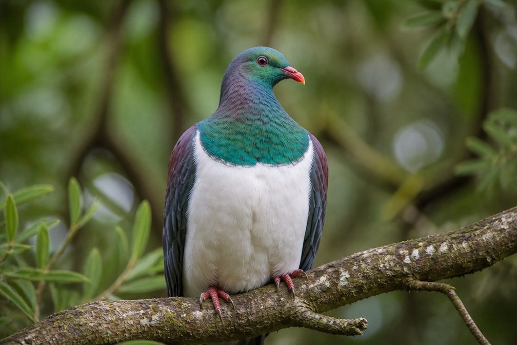 11 sightingsKererūMost seen around 9 AMSighting map
 55 sightingsBlack SwanMost seen around 8 AMSighting map
 23 sightingsParadise ShelduckMost seen around 6 AMSighting map
 17 sightingsTūīMost seen around 7 AMSighting map
Sighting maps show where each species has been reported across Nelson Lakes. Wildlife moves, so no sighting is guaranteed.
Keep exploring
 ChallengingLake Rotoiti Circuit23.4 km · 8.5 hr · At the trailheadTwo huts, one lake, and a ford that sets the route.
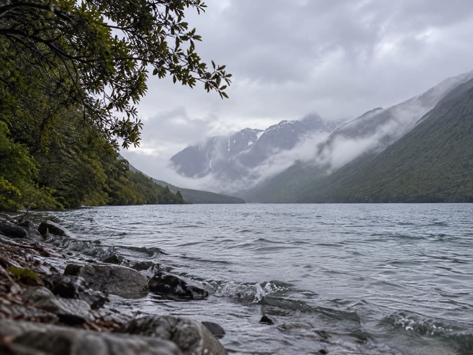 ModerateLakehead Track10.4 km · 3 hr · At the trailheadA beech forest walk to a hut at Lake Rotoiti’s head.
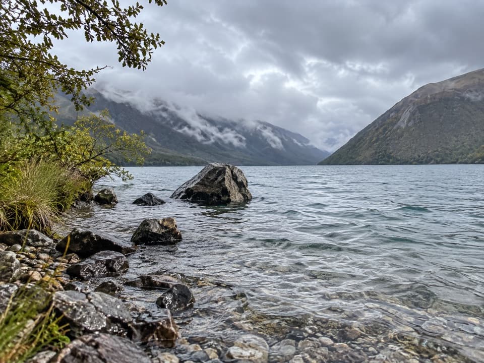 ModerateLoop Track4.5 km · 1.5 hr · At the trailheadA 4.5 km beech forest loop climbs terraces above Lake Rotoiti.
 EasyBlack Valley Walk0.8 km · 30 min · 0.1 km awayFollow a beech-forest stream between the lake and St Arnaud.
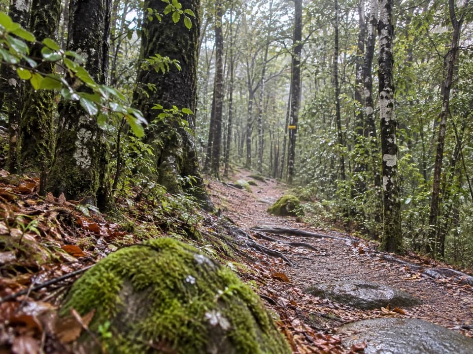 EasyGibbs Walk0.3 km · 12 min · 0.1 km awayA brief beech climb over old glacial moraine.
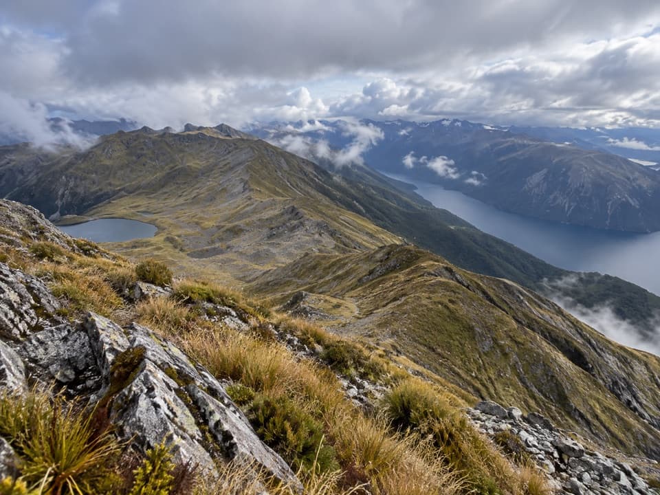 ChallengingSt Arnaud Range Track10 km · 5 hr · 0.2 km awayA long beech climb opens onto an exposed ridge above Lake Rotoiti.
 EasyHoneydew Walk1.7 km · 45 min · 0.2 km awayA short beech-forest loop with honeydew-fed birds and glacial boulders.
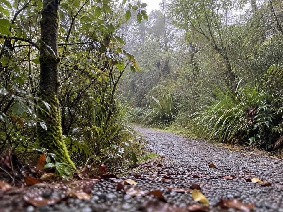 EasyBellbird Walk0.4 km · 15 min · 0.2 km awayA brief accessible loop for red beech, birds and a small wetland.
 Campground · 0.1 km awayKerr Bay CampsitePowered, tent and campervan sites beside Lake Rotoiti.
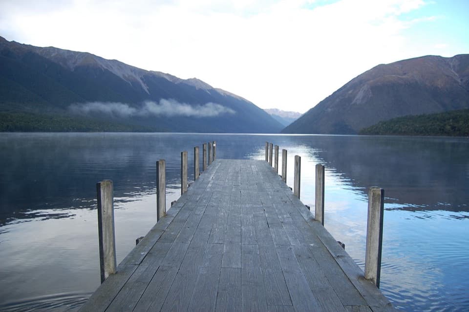 Sight · 0.3 km awayLake Rotoiti – Kerr Bay and JettyA mountain-framed jetty with eels beneath the water.
 Visitor center · 0.3 km awayNelson Lakes National Park Visitor CentreA good first stop for track advice, maps, and backcountry supplies.
 Lodging · 0.5 km awayAlpine LodgeLodging, dinner and fast charging share this alpine village stop.
 Store · 0.6 km awaySt Arnaud General StoreA handy fuel, grocery and café stop before the lakes.
 Sight · 0.6 km awayClassic Boat MuseumClassic boats and engines, packed into a small St Arnaud museum.
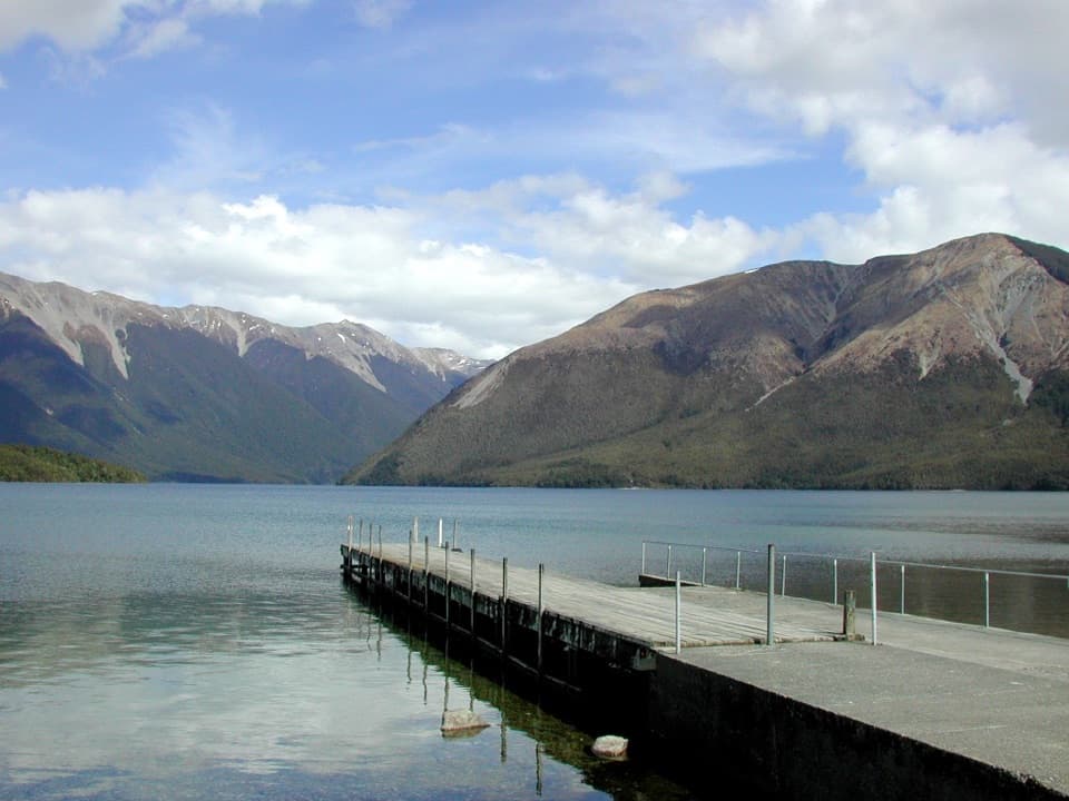 Sight · 1.6 km awayWest Bay, Lake RotoitiShort walks lead from lake views to glacier-shaped ponds.
 Campground · 1.9 km awayTeetotal CampsiteA quiet tent base beside Teetotal’s trails and winter skating pond.
Parkwolf’s Nelson Lakes ranking
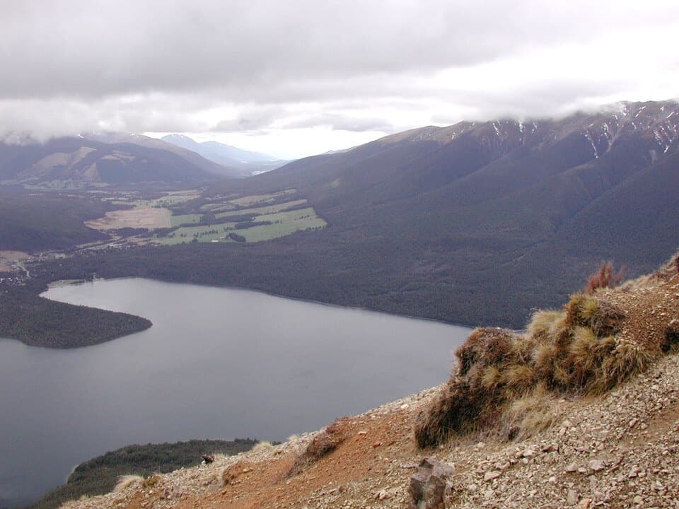 Mount Robert CircuitChallenging · 9 km
 Angelus Hut via Pinchgut Track and Robert Ridge RouteChallenging · 12.2 kmSt Arnaud Range TrackChallenging · 10 km
 Rotomairewhenua/Blue Lake TrackChallenging · 15.4 kmLake Rotoiti CircuitChallenging · 23.4 km
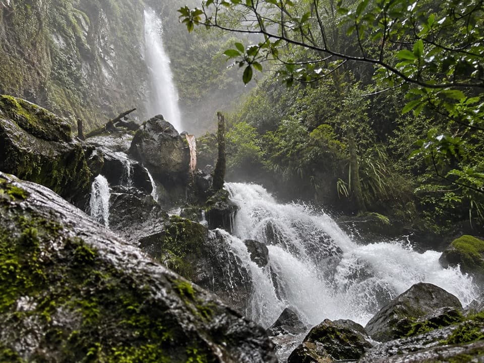 Whisky Falls via Lakeside TrackModerate · 10.8 km
The audio tour guide for the drive, plus offline maps, trails, and wildlife heatmaps for when the signal drops.