Pros & cons
PROS
- Crosses the Alpine Fault twice with clear interpretive panels
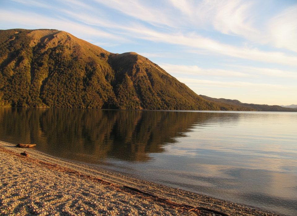
- Frequent lake access for quick beach stops and photos
CONS
- Naming can confuse first‑timers (signed as Brunner Peninsula, not Lakeside Track)
- Sandflies are persistent; wasps common December–April
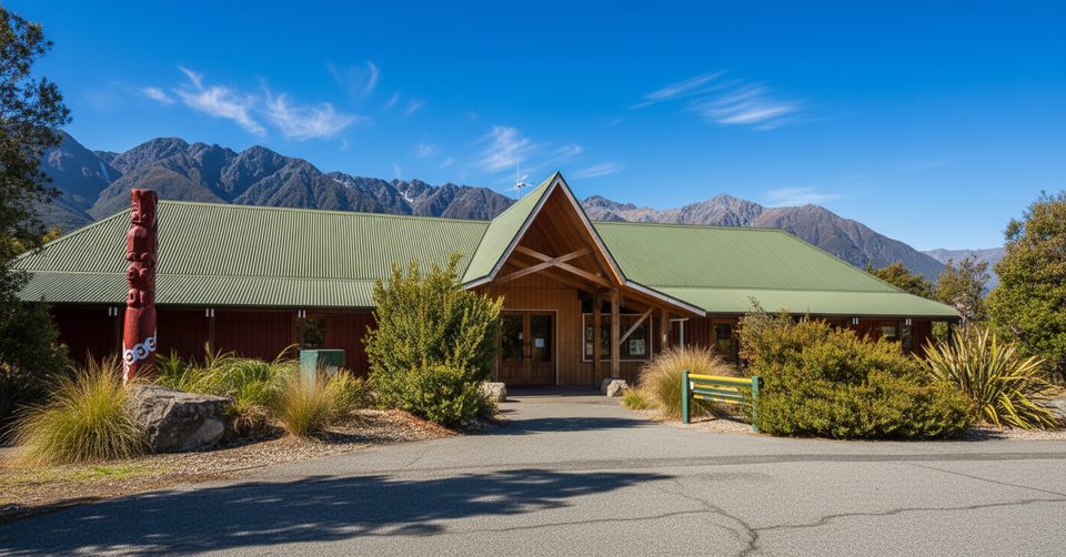
Kerr Bay side: below the Nelson Lakes Visitor Centre on Kerr Bay Road. West Bay side: West Bay car park off Mt Robert Road.
Rapid weather shifts; biting sandflies year-round and wasps Dec–Apr; no rubbish bins—pack out; drones need a permit; expect signage to use Brunner Peninsula (not Lakeside Track).
Overview
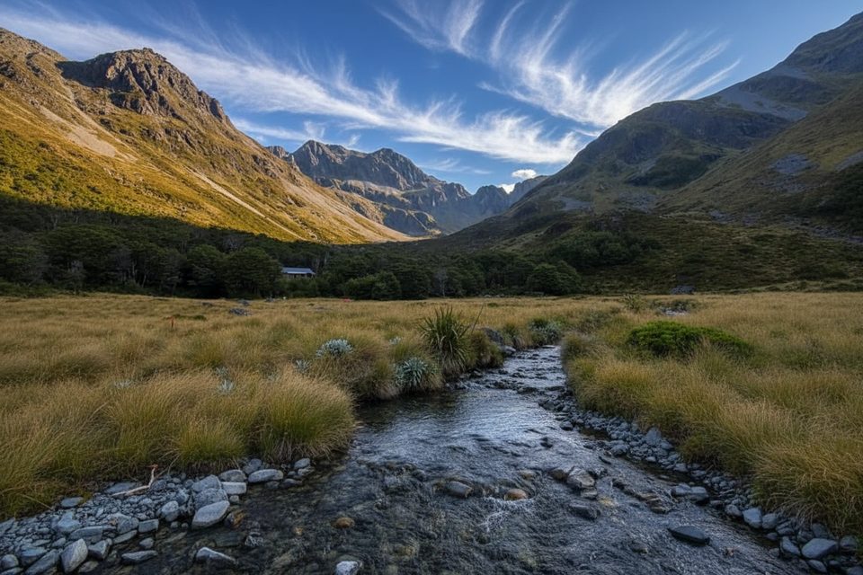
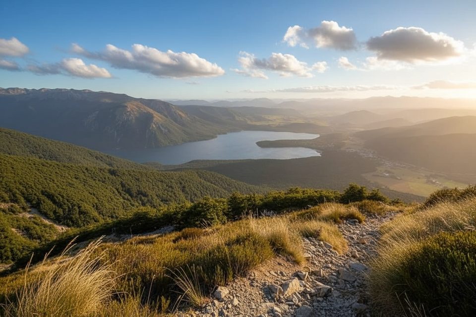
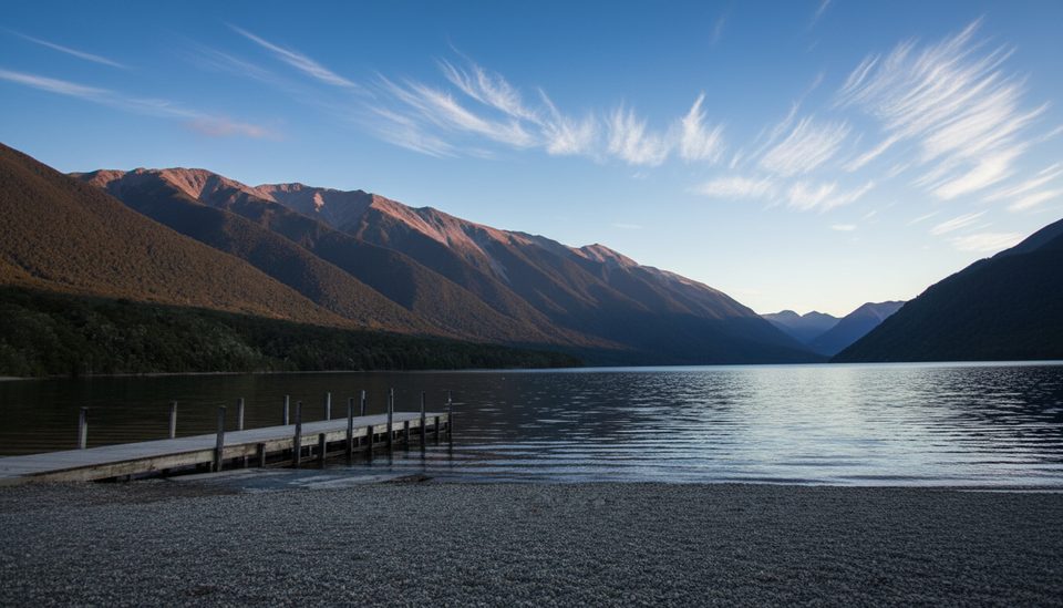
This is the easy, shore‑hugging link between Kerr Bay and West Bay on Lake Rotoiti. It’s a mellow, family‑friendly wander with frequent beach access and interpretive panels. Expect mostly flat footing through beech forest with occasional peeks across the water to big mountain walls. Length is about 2.4 miles one way (plan on roughly 1 hour each direction).
What it’s called (so you’re not confused)
Locally, this section is signed as the Brunner Peninsula Nature Walk. The “Lakeside Track” name usually refers to the western‑shore path that runs south from West Bay toward Coldwater Hut. If you’re heading only between Kerr Bay and West Bay, follow Brunner Peninsula signs.
Highlights you’ll notice
- You’ll cross the Alpine Fault twice—fun geology with panels that explain what you’re walking over.
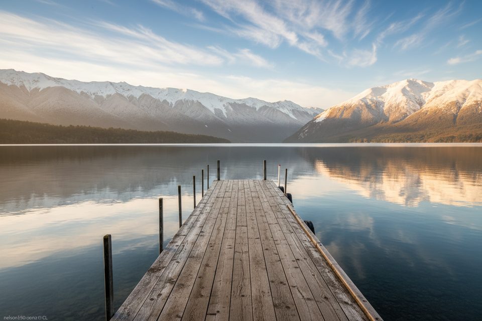
- Easy, lake‑level walking with lots of quick detours to the shore for photos or a snack stop.
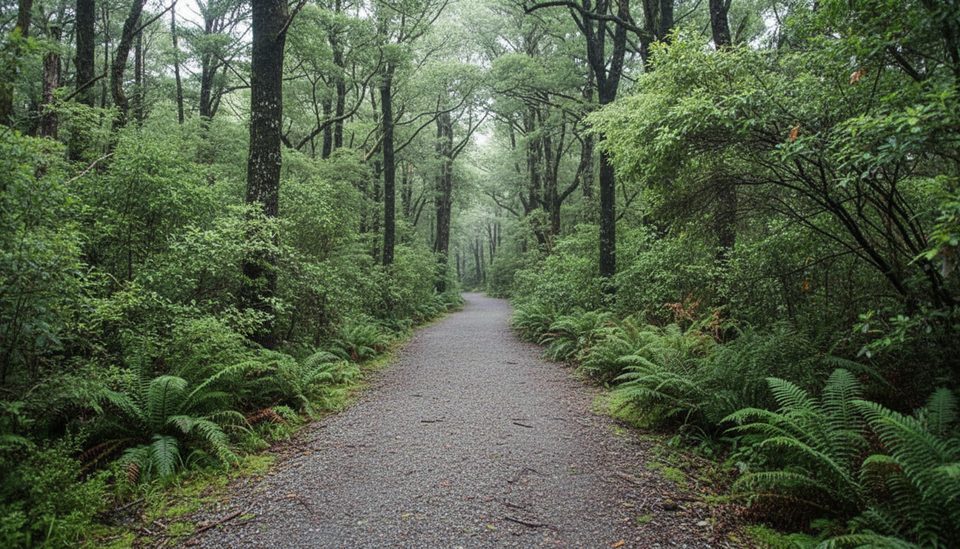
- Classic Nelson Lakes beech forest with regenerating mānuka/kānuka; listen for tūī and bellbirds, and watch for flitting fantails, tomtits, bush robins, and the occasional kākā overhead.
Extensions (if you want more)
From West Bay you can keep following the Lakeside Track south along the western shore. It’s about 1 hour to Whisky Falls (a 40 m cascade), then 1 hour back to West Bay. For a bigger outing, continue past Whisky Falls to where the track climbs to Mt Robert Road (about another hour), then road‑walk back to Kerr Bay (about 1 more hour). Linked together from Kerr Bay, that makes a satisfying ~4‑hour circuit with variety and a waterfall payoff.
Best time to hike
Year‑round is fair game here. Mornings and late afternoons often bring calmer lake surfaces and nicer photography light along the shore. Summer days are lovely but come with biting sandflies; from December to April, wasps can be common. Weather can change quickly in this alpine‑fringed basin any month—carry a warm layer and a rain shell.
Logistics and tips
- Trailheads: Start near the Nelson Lakes Visitor Centre on Kerr Bay Road, or from the West Bay car park off Mt Robert Road.
- There are no rubbish bins—pack everything out. Drones require a permit from the conservation authority.
- Bring insect repellent; sandflies can be persistent even on breezy days. If you’re allergic to wasps, carry antihistamines during the December–April window.
Elevation
2.4 mi · 1 hrWhere it starts
-41.8065, 172.8463Wildlife on this trail
Near Lakeside Track (Kerr Bay to West Bay)
All places →All trails →
0 mi awayTravers-Sabine CircuitAlpine hut circuit over Travers Saddle with a Blue Lake detourChallenging · 49 mi · 31 hr
0 mi awayHoneydew WalkShort, sweet beech forest loop with bird song and sticky ‘honeydew’Easy · 1 mi · 45 min
0 mi awayKerr BayLakefront DOC campground with jetties, views and easy short walksCampground · Restroom
0.1 mi awaySt Arnaud Range TrackSteep climb to big alpine views via Parachute Rocks and the ridgeChallenging · 6.7 mi · 4.5 hr
0.1 mi awayWaiau Pass RouteBurly hut to hut alpine crossing over Waiau PassChallenging · 0 mi · 0 min
0.1 mi awayLake Rotoiti JettyIconic jetty for reflections, eels, and summer swimsParking · Restroom
0.2 mi awayDOC Nelson Lakes Visitor Centre (St Arnaud)DOC hub for track intel, permits, and trail-ready suppliesVisitor Center · Restroom
0.3 mi awayAlpine LodgeComfy base with a good bar a short stroll from Lake RotoitiLodging · Restaurant