
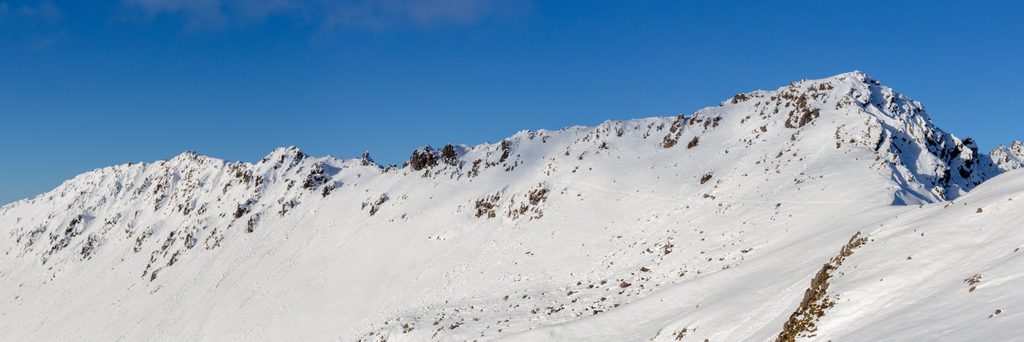
Place · 0.7 mi away
Easy
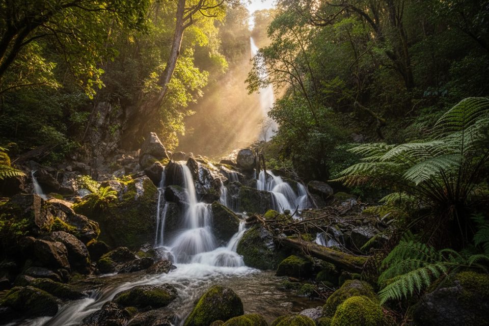
Whisky Falls is the crowd-pleaser on Lake Rotoiti’s western shore: a 40‑meter cascade dropping into a lush, mossy amphitheater. The walk follows the Lakeside Track through beech forest with frequent lake openings. Expect an easy outing with a few wet feet moments. The out-and-back is 6.6 miles (10.6 km) total from the Mount Robert Road start; some guides list a shorter return if you begin closer or use the boat.
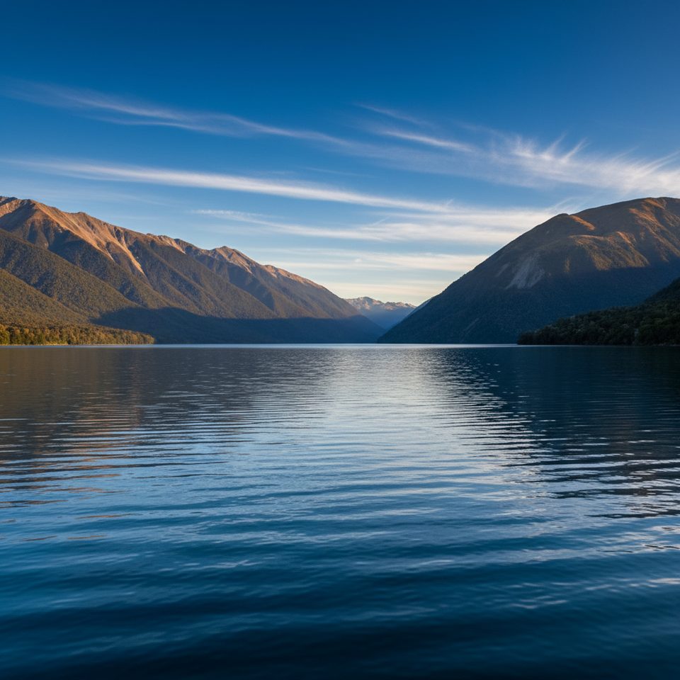
From roadside parking on Mount Robert Road, pick up the signed Lakeside Track. The first stretch is mostly flat, shaded, and quiet, with limited views. As you progress, the track hits shingle fans and gains more glimpses of Lake Rotoiti and the surrounding peaks—spectacular when the tops are snow‑capped. Several small, unbridged stream crossings keep things interesting; rocks can be slick. Near the falls a larger crossing appears, then a signed spur climbs for about 5–10 minutes to the main viewpoint. The base is coated in spray and moss; admire from a safe dry perch (there’s a big, rooty tree that makes a perfect rest spot).
Overall grade is easy with gentle undulations and roughly 190 m of total gain. The only steep bit is the short climb to the falls. Expect wet and muddy patches after rain, and plan for ankles‑to‑calf‑deep crossings if levels are up.
Aim for early morning or late afternoon for quieter tread and softer light on the lake. This is an alpine park—weather can shift quickly any month. In warmer months, sandflies are persistent; cover up and carry repellent. From December to April, wasps are common.
Prefer less walking? A water taxi from Kerr Bay can drop you near the falls for a short stroll, or you can boat one way and hike the other—nice on calm days when lake reflections are mirror‑like.
Continue along the Lakeside Track to Coldwater Hut for broader lake views, or pair this with a nearby alpine circuit if conditions and skills line up.
Roadside pull‑offs on Mount Robert Road at the signed Lakeside Track start; gravel road typically fine for 2WD.
Multiple unbridged stream crossings (one larger near the falls) that rise after rain; slick rocks around the waterfall; persistent sandflies and wasps in season; fast‑changing alpine weather; no rubbish facilities.
Place · 0.7 mi away
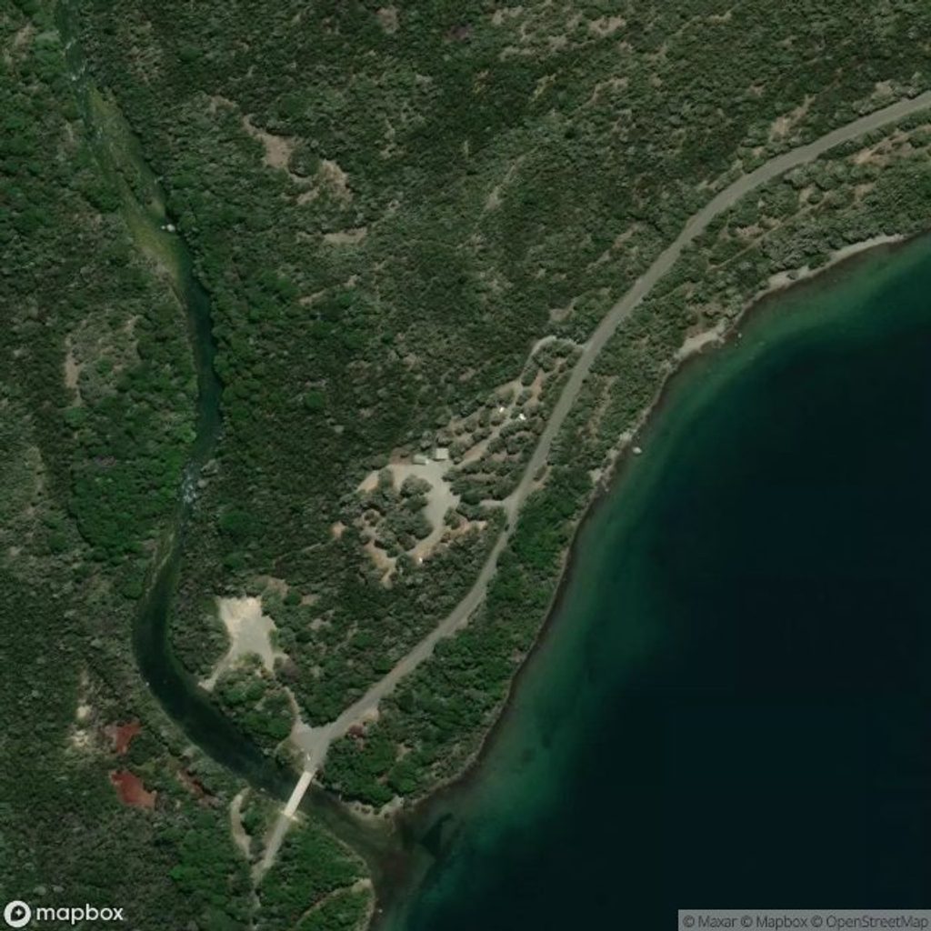
Place · 0.9 mi away
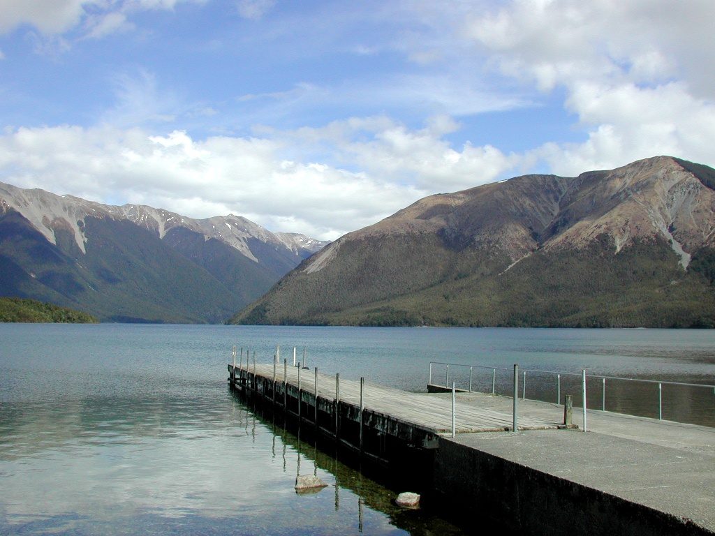
Place · 0.9 mi away
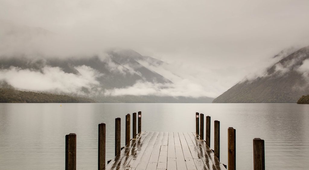
Place · 1.4 mi away
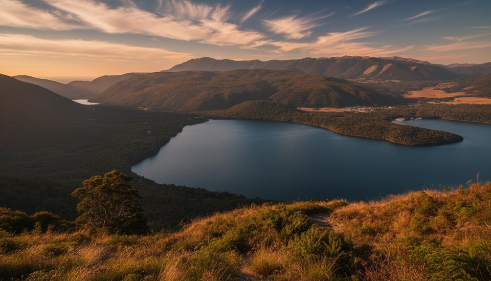
Easy · 1.6 mi away
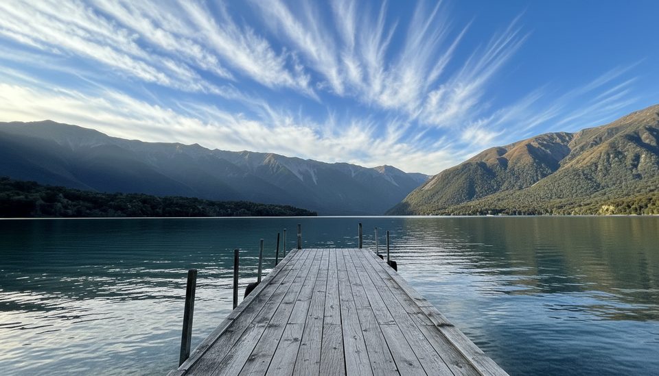
Moderate · 1.7 mi away
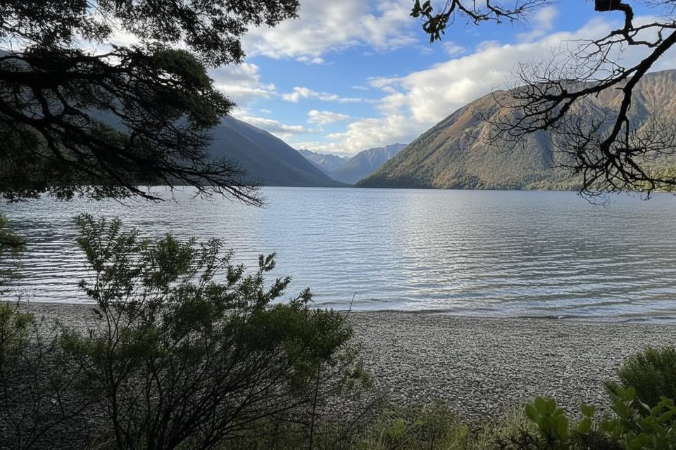
Easy · 1.7 mi away
Easy · 1.7 mi away

Parkwolf Tour Guide
