
Place · 0.3 mi away
Easy
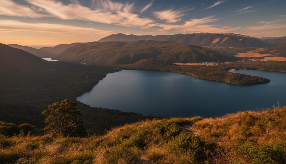
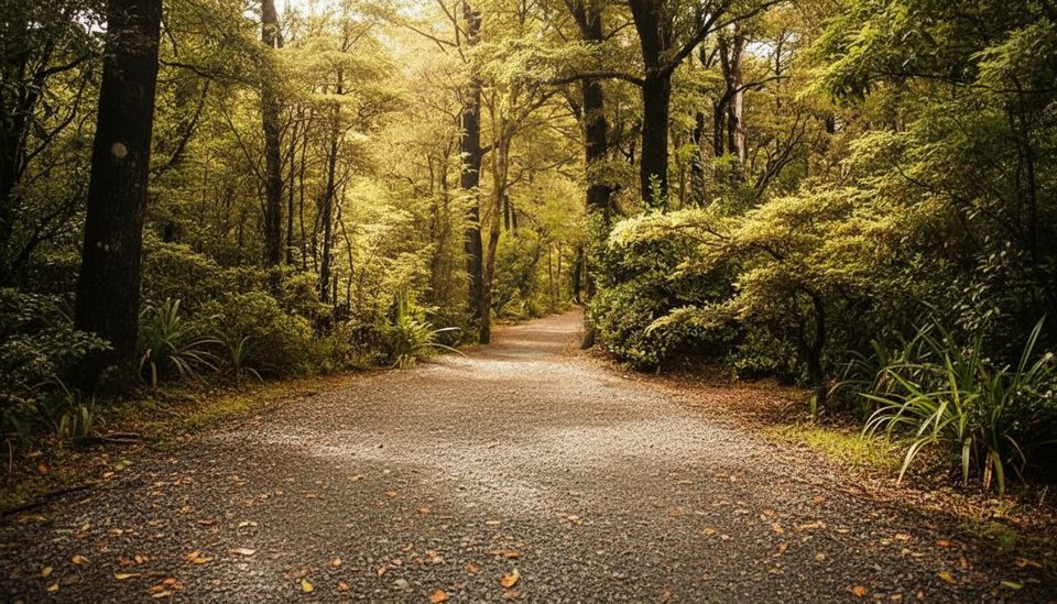
An easy, family‑friendly wander skirting the base of Black Hill, the Moraine Walk traces classic landforms left by the ancient Travers Glacier. Expect mostly flat, well‑formed track through mānuka and kānuka with gentle undulations and the occasional damp patch. The namesake highlights are the moraine ridges and small “kettle ponds,” formed when buried ice blocks melted out of the glacial gravels.
Start at the junction of SH63 and Lodge Road in St Arnaud and follow the track as it parallels the highway, curves around Black Hill, then crosses Mt Robert Road. It passes behind the West Bay campground and connects toward the Buller River. Wayfinding is straightforward, with short boardwalks near pond margins. Plan on about 3.4 miles total (out and back) and 1 hour 30 minutes return, graded easy.
This walk links neatly with nearby short tracks if you want to make a half‑day of it. Pair it with the Black Hill Walk or continue along the Anglers Walk beside the Buller River. Two popular link‑ups: a Brunner–Moraine loop via Kerr Bay and West Bay for roughly 2–3 hours total, or a West Bay figure‑8 combining the Moraine Track with the Brunner Peninsula section for about 2–2.5 hours.
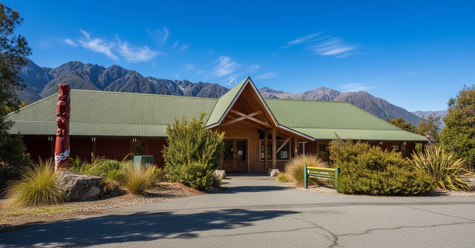
Bring insect repellent—sandflies can be active near the lake and kettle ponds. Surfaces can be slick after rain; light hikers or trail shoes are plenty. National park rules apply (no dogs). There’s DOC signage and facilities at Kerr Bay and West Bay. For maps and up‑to‑date conditions or weather forecasts, the Nelson Lakes DOC Visitor Centre in St Arnaud is close by and worth a stop.
No special season is noted for this easy track. Aim for settled weather and check the forecast at the St Arnaud DOC Visitor Centre before you go. Early or late in the day can be a pleasant time if you’re combining it with nearby short walks.
Park at Kerr Bay or West Bay near Lake Rotoiti, or start from the SH63 and Lodge Road junction in St Arnaud.
Sandflies near lake and ponds; slick surfaces after rain; short roadside‑adjacent sections; no dogs.
Place · 0.3 mi away
Place · 0.3 mi away
Place · 0.4 mi away
Place · 0.4 mi away
Easy · 0.3 mi away
Challenging · 0.3 mi away
Challenging · 0.3 mi away
Easy · 0.3 mi away

Parkwolf Tour Guide
