
Place · 1.1 mi away
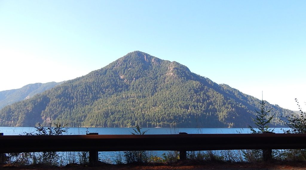
Rising above the north shore of Lake Crescent, Pyramid Peak (aka Pyramid Mountain) pairs a tough climb with history and sweeping views. The trail mostly travels inside the park, ending near a WWII‑era Aircraft Warning Service lookout at the boundary with Olympic National Forest. It’s a rewarding alternative to the busier Lake Crescent classics and feels decidedly underrated.
Expect about 3.5 miles one way (7 miles roundtrip) and roughly 2,600 feet of gain on a narrow, well‑worn singletrack. Forest strolling gives way to a dramatic landslide traverse—only 1–2 feet wide in spots—then steep switchbacks to the top. It’s doable for fit hikers, but the exposure and consistent grade demand focus, especially in wet or icy conditions.
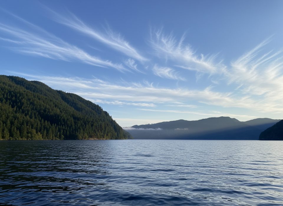
From breaks in the trees and the summit area, you’ll look straight down on Lake Crescent and over to Lake Sutherland. You can also spot the ridge left by the colossal landslide credited with forming Lake Crescent thousands of years ago. On clear days, vistas reach the Strait of Juan de Fuca and even distant Mount Baker. Note: trees have grown enough to partially limit some summit sightlines.
The summit hosted an Aircraft Warning Service lookout built in 1942, later used for fire detection. It’s one of only a couple of surviving sites of its kind tied to the park’s WWII history. Earlier maps called this Sugarloaf Mountain before it was renamed in 1928.
Access is from Camp David Jr. Road off US‑101; park at the North Shore Picnic Area. There’s a vault toilet there, but no water or services on the trail or at the summit. Dogs are allowed on the adjacent Spruce Railroad Trail, but not on the Pyramid Peak Trail.
Typical Olympic forest wildlife frequents the area—think deer, squirrels, and a variety of birds. Keep an eye out for raptors riding thermals above the lake.
Pick a clear, calm day for the landslide crossing and long views. Mornings have better light over Lake Crescent and the most reliable visibility. Weekdays are even quieter, though this hike is generally less crowded than others around the lake.
Place · 1.1 mi away
Place · 1.2 mi away
Place · 1.3 mi away
Place · 1.3 mi away
Easy · 1.3 mi away
Easy · 1.4 mi away
Easy · 1.4 mi away
Moderate · 1.4 mi away

Parkwolf Tour Guide
