Marymere Falls Trail in Olympic National Park

#8 of 148 trails in Olympic

Olympic National Park, WA

Marymere Falls Trail

Old-growth forest leads to close views of a 90-foot waterfall

Photo: Public Domain
Length
1.8mi
Time
1.3hr
Elev. change
377ft
Difficulty
Moderate
  • No dogs
  • High point 961 ft

Hear the audio tour

Marymere Falls and Barnes Point

Overview

About Marymere Falls Trail

Why go

  • Old-growth forest and a 90-foot waterfall in under two miles
  • A creek overlook and two close waterfall viewpoints

Heads up

  • A steep, uneven staircase near the falls
  • Summer parking can fill at the trailhead

Map & elevation

The route

Loading the Olympic map
Full map
Elevation584–961 ft
TrailheadMarymere Falls Trailhead at Storm King Ranger Station48.05806, -123.78893
Keep this map with you offline in the Parkwolf app

Plan your hike

Before you go

Parking

Use the Marymere Falls Trailhead by Storm King Ranger Station on US 101; the listed 1.8-mile out-and-back begins here. Visitors report that the lot can fill during busy summer hours. Starting from Lake Crescent Lodge is a separate, longer access.

Safety

The final approach has steep, uneven stairs and can be slippery when wet. Pets are prohibited on park trails except Spruce Railroad Trail.

6 active Olympic alerts

  • CautionUS 101 Hoh River Bridge reduced to one laneUS 101 at the Hoh River Bridge is restricted to one lane of alternating traffic; obey the signals and 25 mph speed limit.Official details
  • ClosureStaircase wilderness trails and campsites remain closedWilderness trails and campsites around Staircase remain closed during recovery from the Bear Gulch Fire; the developed Staircase area, including the Rapids Loop, campground, and ranger station, is…Official details
See all 6 alerts
A park ranger sits on a dash-mounted phone, talking, as Parkwolf’s Tour Guide plays “Army Cutworm Moths: A Grizzly Bear Buffet” on Grand Loop Road below Dunraven Pass in Yellowstone
Parkwolf Tour GuideThe highest, rockiest slopes around here are a summer buffet for grizzly bears.

Olympic Tour Guide

Your drive to Marymere Falls Trail, narrated.

Parkwolf is a GPS audio tour guide for Olympic National Park. As you drive, it chimes in with what’s ahead: hidden gems, upcoming stops, history, geology, and wildlife, right through your car’s speakers.

See the Olympic audio tour

Recorded for this trailhead

Marymere Falls and Barnes Point
0:00 / 0:32
“You're coming up on Barnes Point, the starting area for Marymere Falls. The walk takes you through mossy old-growth forest to a narrow, ninety-foot drop.”

Plays as you drive up to this trailhead in the Parkwolf Olympic Tour Guide.

More stories near here in the app

  • Lake Crescent Lodge: A Lakeside Break
  • The Chalet That Moved
  • Lake Crescent Scenic Pull-Off
  • Aurora Creek: A Steep Forest Climb
  • 204 audio storiesacross Olympic’s roads, triggered by GPS as you drive
  • Wildlife heatmapsfor Olympic Marmot, Humpback Whale, Grey Whale, and 13 more
  • Works offlinemaps, 148 trails, 94 places, and audio download before you lose signal
  • CarPlay readysimple controls built for the drive
★★★★★
“Fantastic app with many points of information… It’s great to just turn on while you’re driving and it gives you an audio tour of the national Park. We love it!!!!”
JMJamesApp Store review
Download Parkwolf on the App StoreGet Parkwolf on Google Play

4.7 from 8,600+ ratings

Trail guide

Hiking Marymere Falls Trail

Is this the short waterfall hike?Marymere Falls Trail is a 1.

Marymere Falls Trail is a 1.8-mile out-and-back from Storm King Ranger Station to a small loop of viewpoints at a 90-foot waterfall. The 0.9-mile figure is one way. Allow about an hour to an hour and a half for the forest walk, the climb near the falls and time at the overlooks. It is a good short choice if you want an old-growth walk with a dramatic finish; the final stairs make it more work than the mileage suggests.

Through the old-growth forestFrom the ranger station, the path passes under US 101 through a short culvert, then winds into…

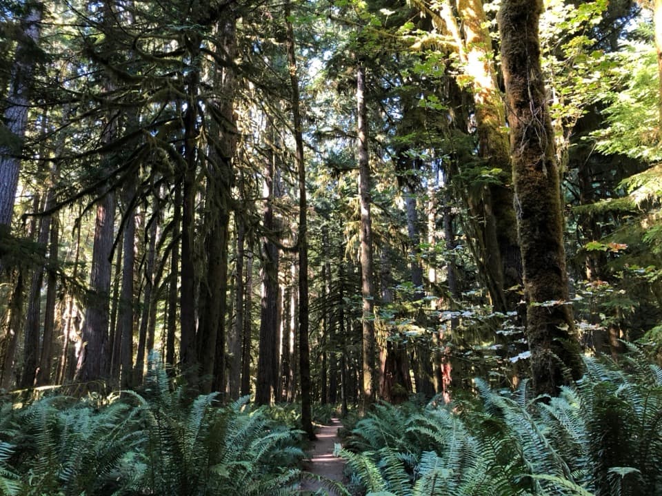
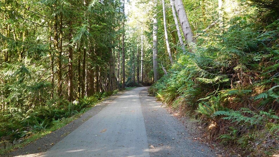
From the ranger station, the path passes under US 101 through a short culvert, then winds into the trees. Dirt and fine gravel give way to stretches of ground, wooden bridges and boardwalk. The forest is the main event on the way in: ferns and moss soften the path edges, and the canopy keeps much of the walk shaded. A Barnes Creek overlook gives you a reason to pause before the waterfall section.

Two views of MarymereThe trail reaches the falls by a short loop rather than one single dead-end platform.

The trail reaches the falls by a short loop rather than one single dead-end platform. Take the stairs to both viewpoints: one looks down toward the falls, while the lower view brings you closer to the water and the 90-foot drop. From the platforms, frame the falling water with the dark rock and forest around it; a vertical view captures more of the drop than a wide shot of the whole ravine.

The stairs change the effortMost of the route feels like a manageable forest walk, but the last approach climbs steep,…

Most of the route feels like a manageable forest walk, but the last approach climbs steep, uneven stairs over short bridges and roots. The official guide lists about 400 feet of elevation gain. Steps and wet wood can be slippery after rain, so take your time near the viewpoints. If anyone in your group cannot manage stairs, turn back at the Barnes Creek overlook and treat the forest walk as the destination; the falls platforms are beyond the steep section.

Start at Storm KingUse the Marymere Falls Trailhead by Storm King Ranger Station for the listed distance.

Use the Marymere Falls Trailhead by Storm King Ranger Station for the listed distance. Lake Crescent Lodge is a separate, longer access. The trailhead lot can fill during busy summer hours, so an early start improves your chances of parking. Normal Olympic National Park entry fees or a pass apply; no separate Marymere permit is listed. Pets are not allowed on park trails except Spruce Railroad Trail.

A separate stop at the lakeThe waterfall route stays in the forest rather than following Lake Crescent's shore.

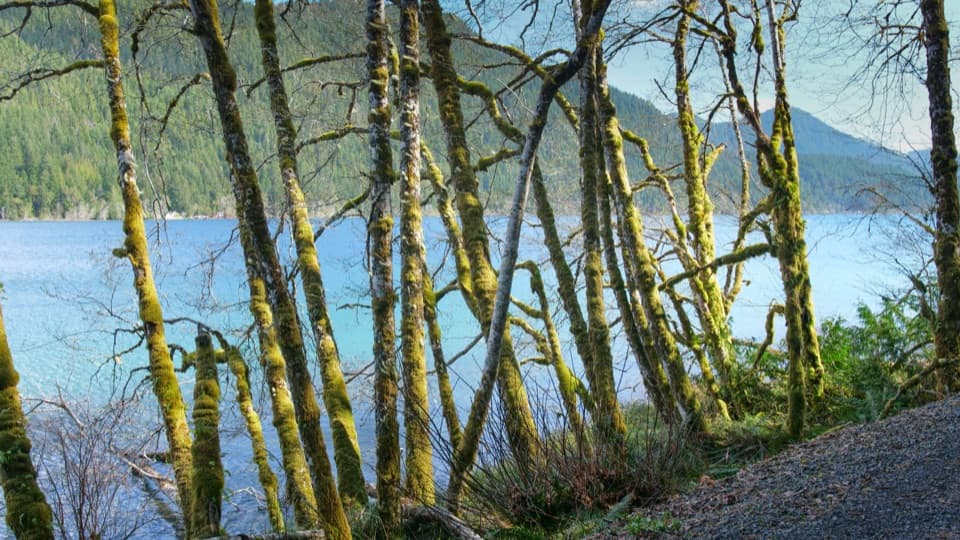
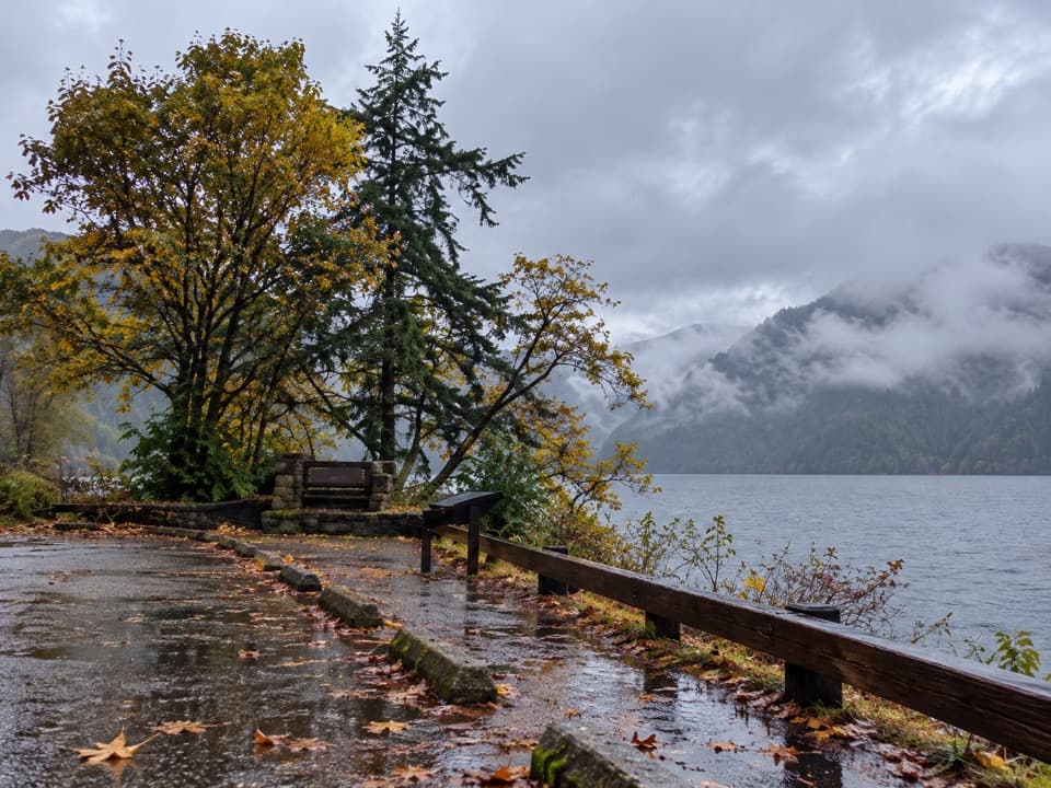
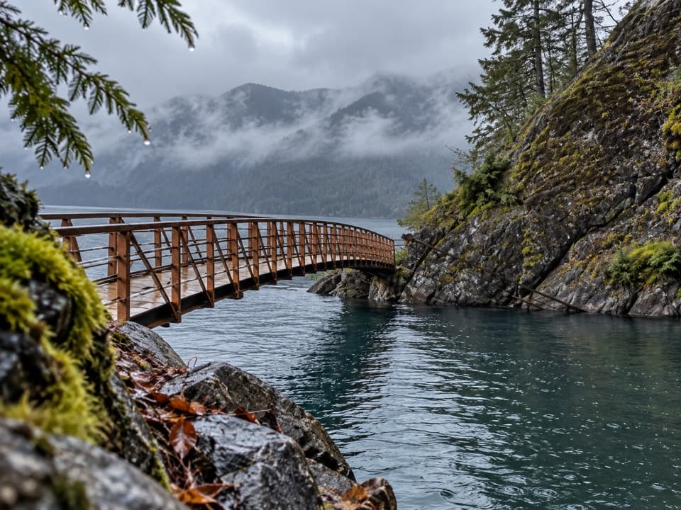
The waterfall route stays in the forest rather than following Lake Crescent's shore. The lake nearby sits in a deep valley carved by glaciers; its basin reaches 624 feet below the surface. Lake Crescent Lodge has restaurants if you want a meal after the hike, but it is a separate stop rather than an amenity along the trail.

Wildlife

Wildlife in Olympic

All Olympic wildlife maps

Sighting maps show where each species has been reported across Olympic. Wildlife moves, so no sighting is guaranteed.

Keep exploring

Near Marymere Falls Trail

See it all on the map

Trails that start nearby

Places near the trailhead

Parkwolf’s Olympic ranking

Top-rated trails in Olympic

All 148 trails
  1. 1Hall of Mosses TrailEasy · 0.8 mi
  2. 2Hurricane Hill TrailModerate · 3.3 mi
  3. 3Sol Duc Falls Nature TrailEasy · 1.6 mi
  4. 4High Divide Loop (Seven Lakes Basin)Challenging · 19 mi
  5. 5Hoh River TrailChallenging · 34.8 mi
  6. 6Shi Shi Beach and Point of Arches TrailModerate · 8 mi

Take Parkwolf to Olympic.

The audio tour guide for the drive, plus offline maps, trails, and wildlife heatmaps for when the signal drops.

4.7 from 8,600+ ratings

Download Parkwolf on the App StoreGet Parkwolf on Google Play