
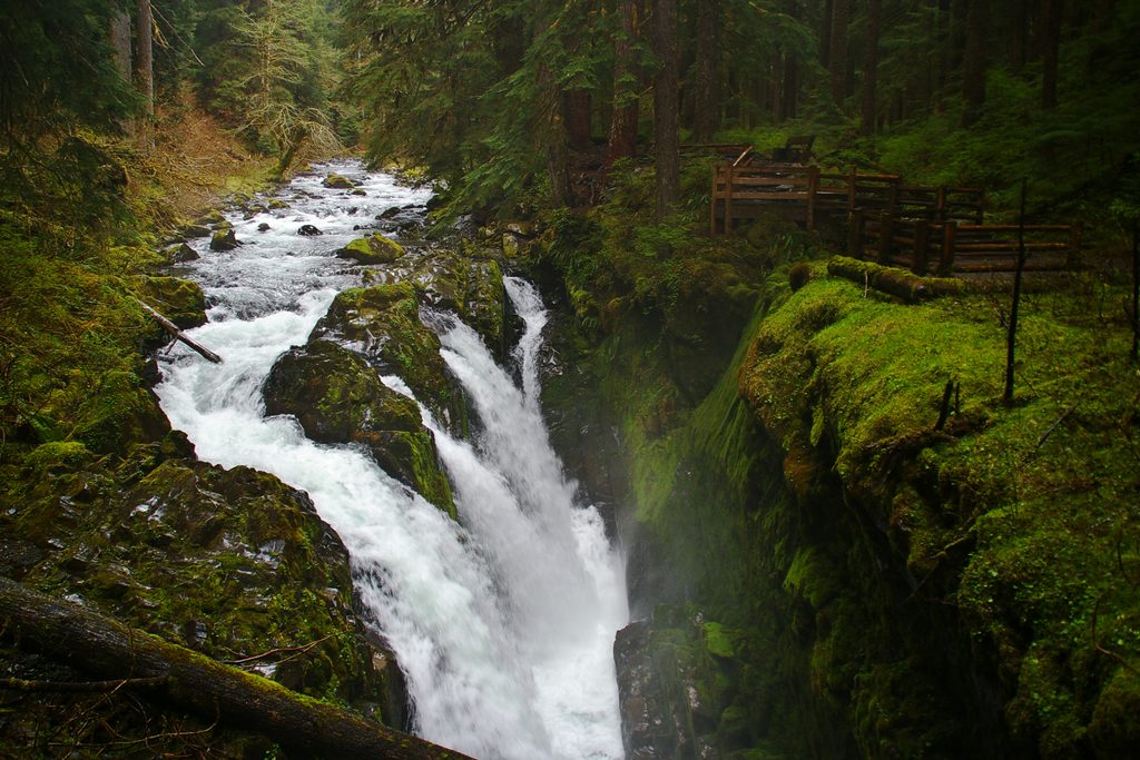
Place · 1 mi away
Challenging
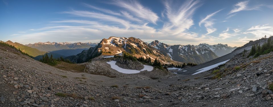
The Bailey Range Way is not a maintained trail—it’s the rough, committing entry from the High Divide near Cat Peak into the Bailey Range, often used to start the legendary Bailey Range Traverse. Expect the maintained tread to simply end, then a steep, eroding way trail climbs toward Cat Peak and the narrow Catwalk arête to Mount Carrie.
This route trades switchbacks for ridge roaming: heather benches, talus and scree, seasonal snowfields, and an exposed knife‑edge on the Catwalk. In return you get knock‑out views of Mount Olympus, the Hoh River Valley, Seven Lakes Basin, and the Olympic interior. Wildflower meadows pop in mid‑summer, and you might spot black bears, marmots, mountain goats, and deer. Geology nerds: you’re walking uplifted marine sediments and basalt, carved into cirques and glacial valleys—especially dramatic near the Olympus massif.
The "Way" itself is a short but serious connector from the end of the High Divide to the Bailey crest; beyond it, the Bailey Range Traverse runs roughly 28–34 miles total depending on your exit, and most experienced parties take about a week. If you just want a great hike on good tread, turn around at the end of the High Divide. If you’re comfortable with exposure and off‑trail navigation, the Way is your key to the Baileys.
This is advanced terrain: fading tread, blowdowns, off‑trail navigation, and exposure that demands precise footwork. Seasonal snowfields are common, and some parties bring ice axe and traction; depending on conditions, glacier travel elsewhere on the traverse can warrant a rope. Weather turns quickly here; treat forecasts as suggestions, not guarantees.
Overnights require an Olympic National Park wilderness permit, and bear canisters are required for food storage. Pets aren’t allowed on this route. Most parties park at Sol Duc, hike to the High Divide, and step off onto the Way near Cat Peak/Mt. Carrie. Water is usually abundant, but ridge sections can run dry—carry extra for the high stretches.
Late July through September is the window when snow recedes and weather stabilizes. Early summer can be sketchy with lingering snow and unstable slopes. Mid‑week trips help with solitude on the approach; for photos, morning and evening light along the ridge pays off.
The park once intended to continue the High Divide across the Baileys toward Dodger Point before WWII halted the project. That’s why the maintained trail simply ends—leaving today’s user path into one of the wildest corners of the Olympics.
Park at the Sol Duc trailhead and hike the High Divide; the way trail departs near Cat Peak toward Mount Carrie.
Unmaintained, exposed ridge travel with fading tread, blowdowns, and seasonal snowfields. Advanced navigation required; carry maps/compass/GPS. Bear canisters required; weather shifts fast. Pets not allowed.
Place · 1 mi away
Place · 1.6 mi away
Place · 1.6 mi away
Place · 1.6 mi away
Challenging · 0 mi away
Challenging · 0 mi away
Challenging · 0 mi away
Challenging · 0 mi away

Parkwolf Tour Guide
