
Place · 0 mi away
Challenging
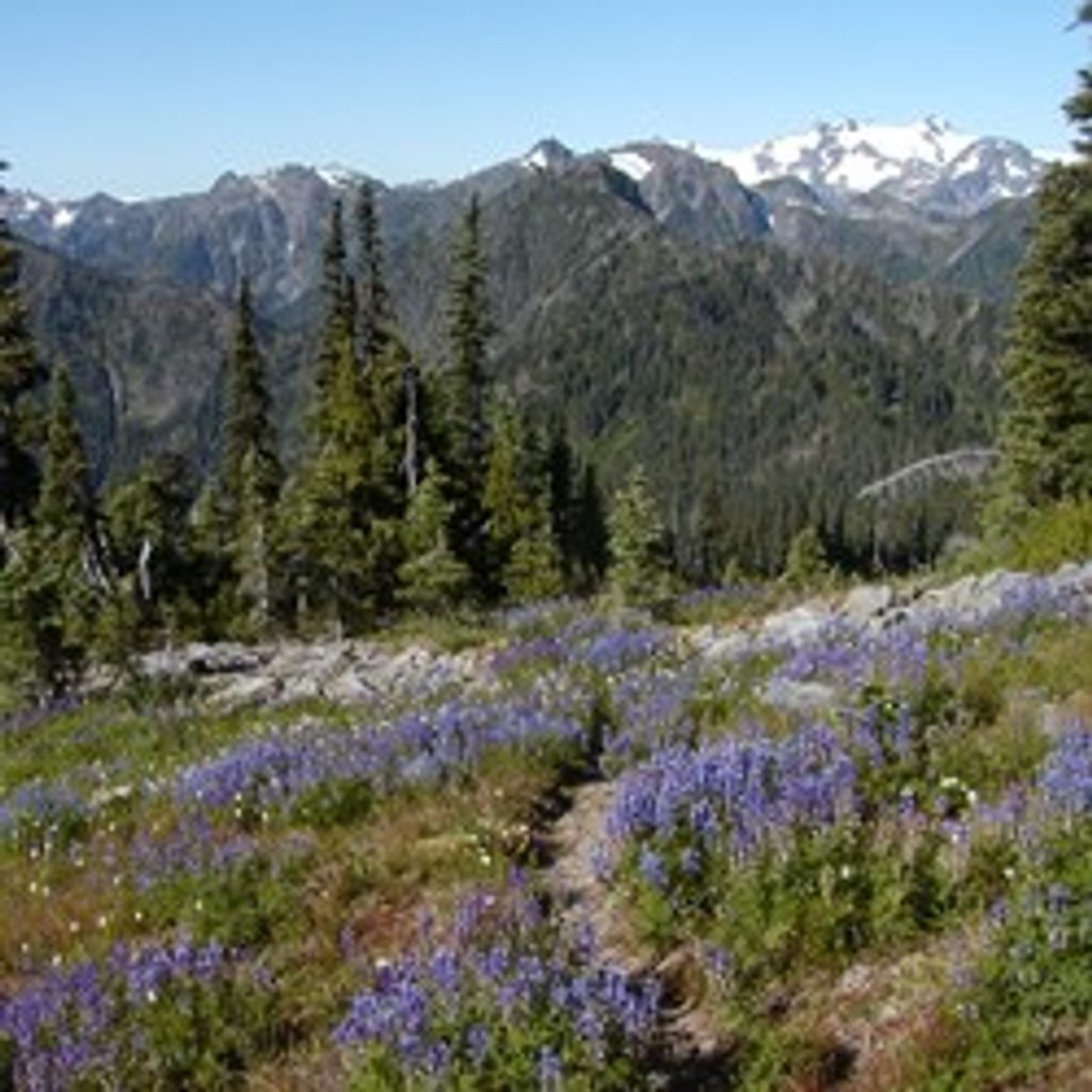
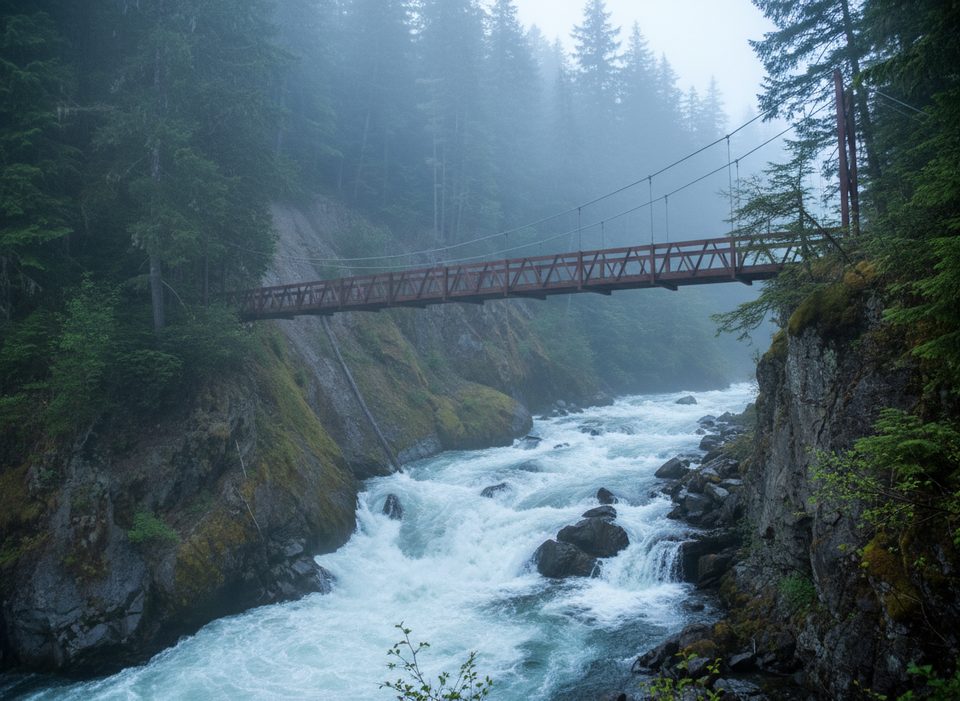
If you want a sustained, old-school Olympic backcountry grind with real payoff, this ridge delivers. You cross the Elwha on the Dodger Point suspension bridge, then climb seemingly forever through second-growth forest (regrown after fires in 1897–1941) into subalpine meadows and big, windswept vistas. Expect frequent openings toward the Grand Canyon of the Elwha and, higher up, sweeping looks at the Bailey Range, Mount Carrie, Stephen Peak, and even north toward Hurricane Hill. It’s challenging, remote-feeling, and unforgettable if you like earning your scenery.
The Long Ridge Trail proper begins at the Dodger Point suspension bridge over the Elwha River. From there it’s roughly 11.9 miles one way up Long Ridge toward the Dodger Point area, with over 4,000 feet of gain and almost no flat. Add about 2 miles (one way) just to reach the bridge from the Whiskey Bend Trailhead, and potentially more if a road washout requires starting at Madison Falls and walking the old road to the formal trailhead. Early miles are moderate; then the grade steepens into long, relentless switchbacks. You’ll pass Long Creek and a few minor streams low down, then enter drier, open ridge country before the final approach to Dodger Point.
This is a strenuous, sustained ascent on rough, sometimes overgrown tread. Blowdowns appear intermittently (especially after storms) and can slow progress. Water is limited for long stretches on the ridge: small springs/side streams low down and a pond near the Dodger Point junction, but many upper sections are dry—plan your water carefully. There are no toilet facilities. Snow can linger or arrive early; higher sections may be snow-covered in any season, and navigation can get tricky under snow—carry map and compass and know how to use them.
There are no designated camps along the ridge, though a few primitive spots exist (use durable surfaces and follow Leave No Trace). Bear canisters are recommended to protect food from wildlife. No campfires above 3,500 feet—bring a stove. Stock use has a history here, but check current restrictions and conditions before bringing animals.
Late spring through early fall offers the best window. Wildflowers peak in summer, and clear weather makes the ridge and summit views shine. Start early on warm days to manage the big climb and long dry stretches. Always check current conditions and any road or trail closures before you go.
Access via Whiskey Bend Road to Whiskey Bend Trailhead; hike ~2 miles along the Elwha River Trail to the Dodger Point suspension bridge where Long Ridge begins. If a washout closes the road, park at Madison Falls and walk the old road to the formal trailhead.
Strenuous, sustained climb with limited water; no toilets. Higher sections can hold snow any season—carry map/compass. Expect possible blowdowns/overgrowth. No campfires above 3,500 feet; bear canisters recommended.
Place · 0 mi away
Place · 2.1 mi away
Place · 2.5 mi away
Place · 2.6 mi away
Challenging · 0 mi away
Moderate · 0 mi away
Easy · 0 mi away
Challenging · 0 mi away

Parkwolf Tour Guide
