
Place · 0 mi away
Challenging
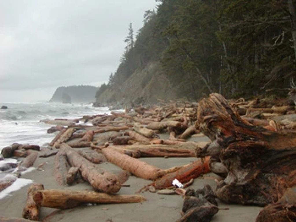
If you want a true coastal adventure—ropes, sea stacks, tide timing and all—this is it. The North Coast Wilderness Trail runs roughly 19 miles one-way from Rialto Beach (Mora/La Push) north to the Ozette area. Most backpack it in 2–4 days. It’s not a casual beach stroll; think slippery boulders, steep muddy headlands, and route choices that live and die by the tide chart.
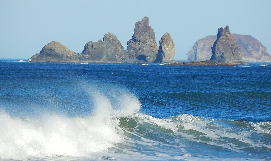
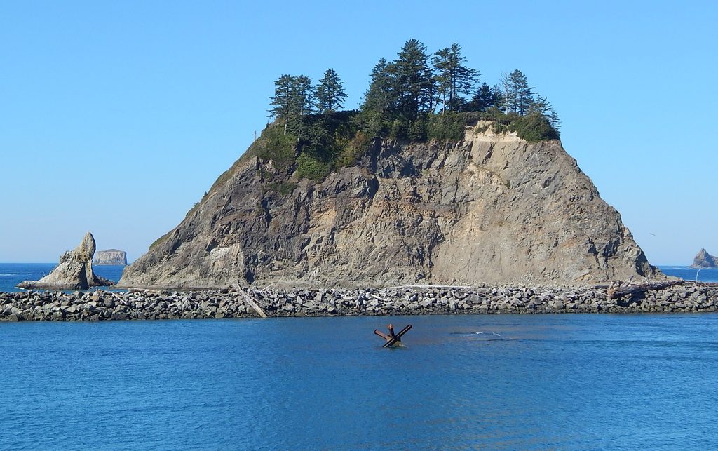
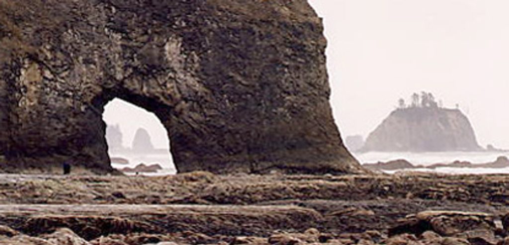
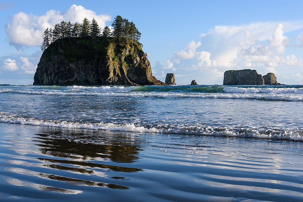
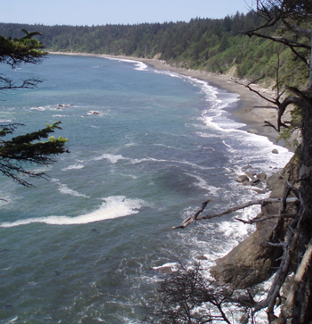
What you’ll see: a classic mix of wave-battered headlands, broad sandy stretches, and rock gardens studded with tidepools. Sea stacks punctuate the skyline, old-growth Sitka spruce cloaks the overland sections, and evenings bring Pacific surf and big, colorful sunsets. Wildlife is part of the show—bald eagles, seals, sea lions, even migrating whales. Between Cape Alava and Sand Point, keep an eye out for the Wedding Rocks petroglyphs carved into shoreline boulders.
Trail reality: expect slow miles. Some headlands can be rounded only near low tide; others are too dangerous to pass on the beach at any tide and require steep overland trails. Those are minimally maintained, signed with red-and-black target markers, and may include fixed ropes or cable ladders. Navigation on the beach isn’t always obvious, so pair the park map with NOAA tide predictions and plan your day around safe tide windows.
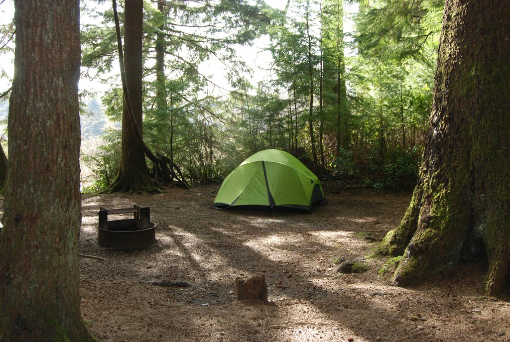
Logistics: this is a point-to-point coastal route. Camping requires a wilderness permit, and you’ll need a bear canister for food storage. Water comes from coastal streams (often tea-stained from tannins) and must be treated. Pets aren’t allowed, and local search-and-rescue is limited—plan within your abilities.
Best time to go: late spring through early fall brings the most stable weather and safer surf. Winter storms make this route hazardous. Even in summer, carry rain layers and expect mud. For photography, aim to reach camp before golden hour—sunset on the sea stacks is the money shot—and time tidepools for low tide.
Is it worth it? Absolutely—if you like rugged, hands-on travel and can manage tide timing. If you want a shorter sampler, try Shi Shi Beach to Point of Arches or the Ozette Triangle; both deliver big coastal drama with less commitment.
Park at Rialto Beach (Mora area) for the south end or at the Ozette area for the north end; both lots fill on summer weekends—arrive early.
Plan every day around tides—some headlands are impassable at high tide. Expect steep, muddy overland climbs with fixed ropes/cable ladders, slippery boulders, tea-stained water that needs treatment, and limited rescue resources.
Place · 0 mi away
Place · 0.6 mi away
Place · 1.4 mi away
Place · 1.6 mi away
Easy · 0.2 mi away
Easy · 1.6 mi away
Easy · 1.6 mi away
Challenging · 2.7 mi away

Parkwolf Tour Guide
