
Place · 3.6 mi away
Challenging
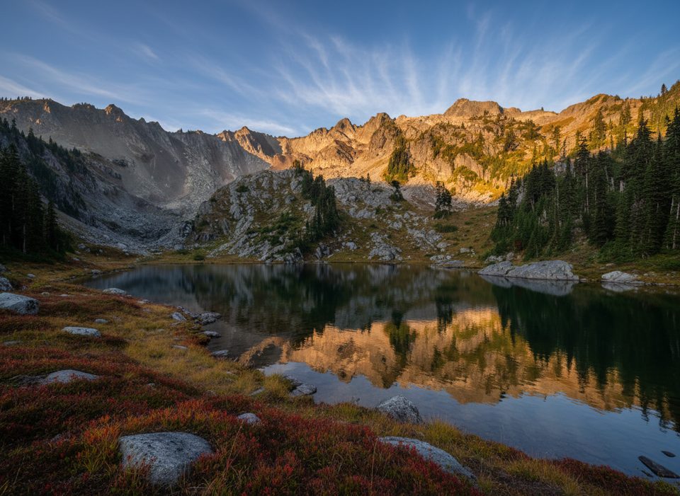
If you like your hikes steep, wild, and wildly rewarding, this one delivers. The Putvin Trail climbs hard from the Hamma Hamma corridor to a cirque basin cradling Lake of the Angels—think waterfalls spilling over a rocky headwall, meadows with wildflowers in season, and big looks at Jefferson Peak and Mt. Pershing along the way. It’s a true leg-burner and not for beginners, but the payoff is top-tier Olympic alpine.
This is an out-and-back, roughly 6.7 miles total, with about 3,400 feet of gain. The lower mile is civilized—old road and forested singletrack near creek soundscapes—then things turn serious after a park permit/check-in station. Expect sustained steep grades, a punishing segment gaining about 1,350 feet in under a mile, and short scrambly sections near the top. Drainage crossings can be slick when wet, and you’ll likely use your hands in spots. The final approach breaks into a dramatic bowl where Whitehorse Creek cascades over a rocky headwall before the basin and lake. The path can be less obvious near the lake—bring a map or GPS.
This is a very hard hike. The steepest pitches feel nearly straight up, and rope assists may appear at scrambly sections. Strong legs and confident footwork are mandatory; trekking poles and sturdy footwear make a big difference—especially on the descent.
You’ll move from mossy, old-growth forest to subalpine meadows and a rocky cirque with crystal-clear water at Lake of the Angels. Keep an eye out for mountain goats (give them space), marmots, and the occasional elk. Views open up to Olympic peaks as you gain elevation, especially near and above treeline.
Late July through September generally offers the best snow-free conditions and wildflowers. Shoulder seasons (spring and late fall) can bring lingering snowfields up high and slippery, wet trail—go prepared and turn around if conditions deteriorate. For quieter vibes, start early and aim for weekdays.
No day-use permit is required to hike, but overnight stays in the basin require an Olympic National Park wilderness permit. The route begins on national forest land and enters the park—dogs are not allowed on the park portion of the trail. Plan accordingly if you’re thinking about bringing a pet.
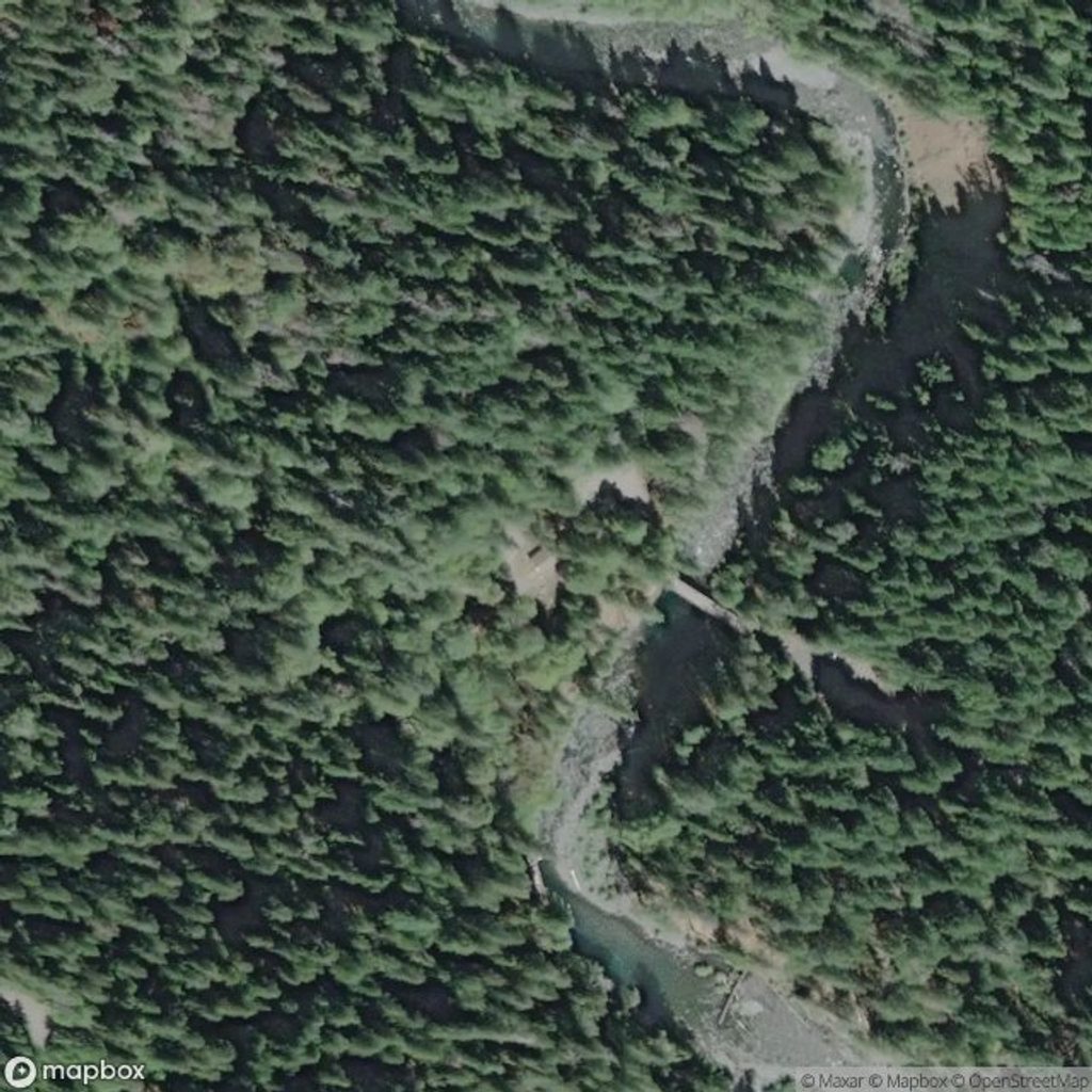
Park at the Putvin Trailhead off Forest Road 25 in the Hamma Hamma corridor. A national forest parking fee/pass is required here. Expect limited parking on peak weekends—arrive early. Filterable water is available from creeks and the lake, but carry enough for the steep climb.
For experienced hikers, this is one of the most compelling grunt-to-glory days in the southeast Olympics. If you’re after a gentler introduction to the park, pick something with friendlier grades; if you want a rugged classic with huge payoff, this one earns its reputation.
Trailhead parking on Forest Road 25 (Hamma Hamma corridor); national forest parking pass required. Arrive early on weekends—limited pullouts fill fast.
Very steep grades with scrambly, sometimes near-vertical sections; expect slick roots and drainage crossings, lingering snow early/late season, and rope assists in places. Give mountain goats space. Dogs are not allowed once you enter the national park.
Place · 3.6 mi away
Place · 4.7 mi away
Place · 5.2 mi away
Place · 6.5 mi away
Challenging · 4 mi away
Challenging · 6.4 mi away
Easy · 6.4 mi away
Easy · 6.5 mi away

Parkwolf Tour Guide
