
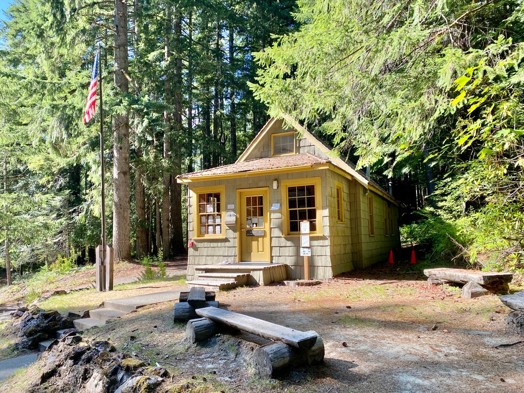
Place · 0.1 mi away
Challenging
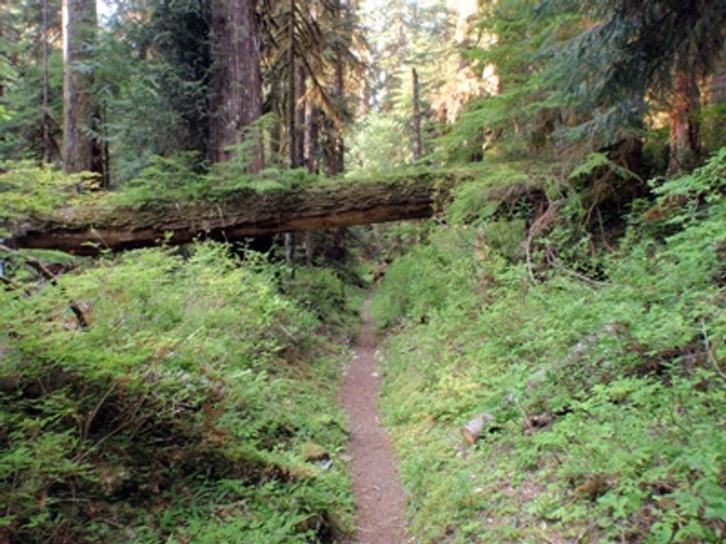
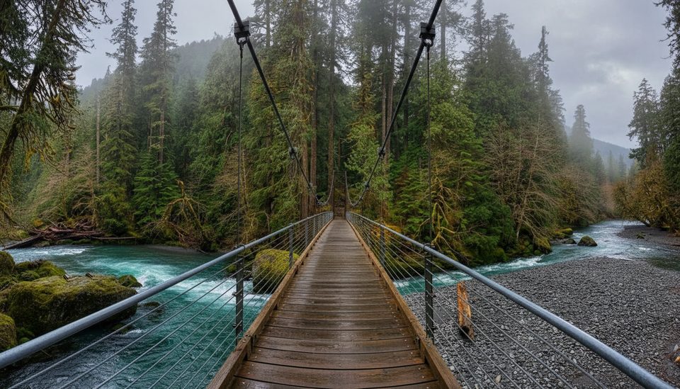
A quintessential Olympic rainforest wander, this trail strings together moss-draped old-growth, a photogenic suspension bridge, and constant river company. Start at the Staircase area and ease into towering Douglas fir, western hemlock, Sitka spruce, and red cedar—some approaching a millennium old—while the blue‑green North Fork tumbles beside you. It’s peaceful, lush, and feels miles from the road within the first hour.
From Staircase Ranger Station, cross the suspension bridge over Staircase Rapids and head up-valley on a gently graded path. The full corridor runs about 15.2 miles one way to the Duckabush River Trail junction, with many natural turnaround points. Popular day targets include Slide Camp (~1 mile) and Spike Camp (~2.5 miles). Backpackers often aim for Camp Pleasant (~6.9 miles, about 800 feet of mostly gradual gain) or push farther toward First Divide (13.1 miles from the trailhead; 4,688 feet) for subalpine meadows and wide Olympic views. Expect about 16 hours total moving time for the full long route version, depending on itinerary and pace.
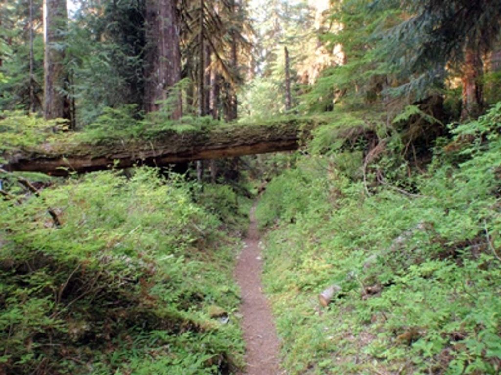
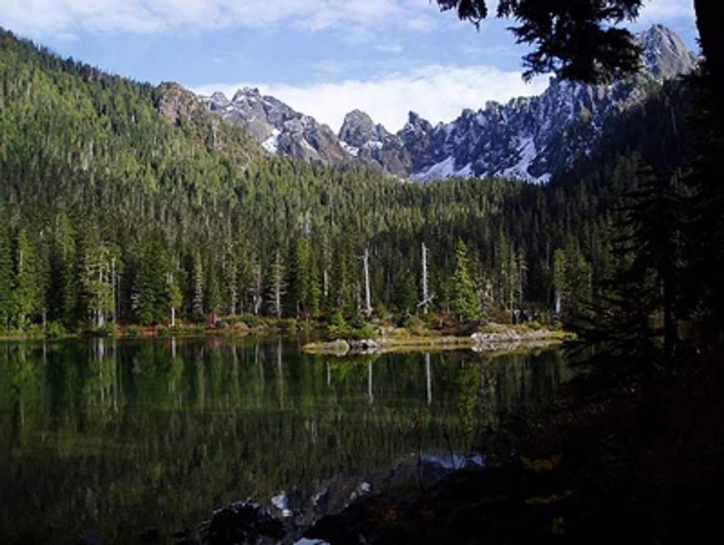
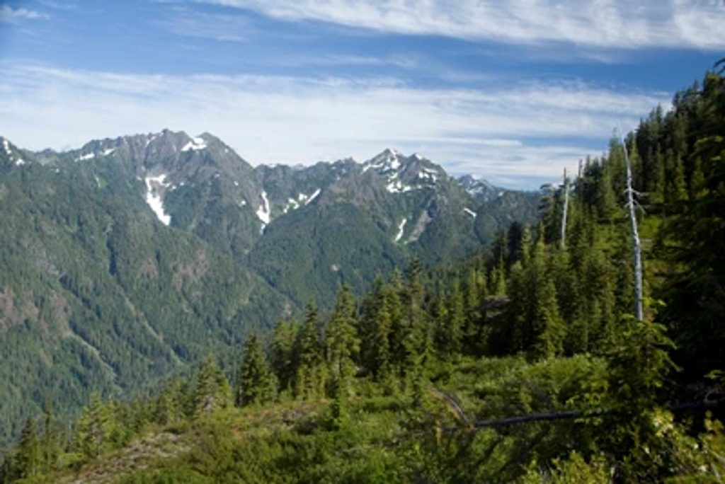
This is a soft-needle forest walk with frequent peeks at rapids and pools, ferns and lichens carpeting fallen logs, and cottonwoods and willows lining the river. Higher up, meadows and craggy summits appear near First Divide. Wildlife is very possible—deer, elk, black bears, and an active river corridor vital for salmon. The valley itself was carved by glaciers; the river still shapes it through erosion. The route follows travel corridors used by Indigenous peoples long before today’s recreation.
Late spring through early fall is the sweet spot, with the most reliable, snow‑free travel typically July–October. Snow can linger high into June. Summer brings lush greenery and wildflowers (and sometimes aggressive mosquitoes). Autumn means quieter trails and colorful foliage. Winter travel is possible but can be a slog—heavy rain, snow, and potential bridge/route issues make for slower, more serious conditions.
If you want classic Olympic rainforest with the option to scale up from a mellow day out to a full-value multi‑day, this trail delivers. The lower miles are friendly and beautiful; the upper miles reward persistence with meadows and mountain views. It’s not a loop and it’s long if you chase the skyline, but as a choose‑your‑own‑adventure river corridor, it’s hard to beat.
Park at the Staircase area off North Staircase Road near Staircase Campground/Ranger Station; the trail begins by crossing the suspension bridge over Staircase Rapids.
Treat all water; store food properly for bears; expect slick roots, mud, and narrow bridges; steep side trails (e.g., Black and White Way); snow may linger high into June; heavy rain can affect creeks and bridges.
Place · 0.1 mi away
Place · 0.1 mi away
Place · 0.1 mi away
Place · 0.3 mi away
Easy · 0 mi away
Easy · 0.1 mi away
Challenging · 0.1 mi away
Challenging · 0.1 mi away

Parkwolf Tour Guide
