
Place · 0 mi away
Easy
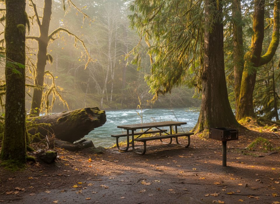
This is the classic quick hit of Olympic rainforest: a roughly 2.1‑mile loop through mossy old growth along the North Fork Skokomish River. Expect a mostly gentle stroll with a few short ups, stone steps, and roots, plus constant river eye‑candy—from thundering rapids over boulders to calm, startlingly blue pools.
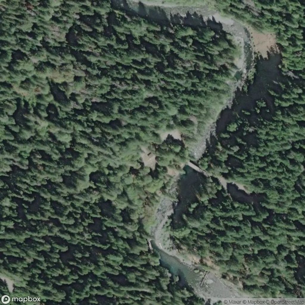
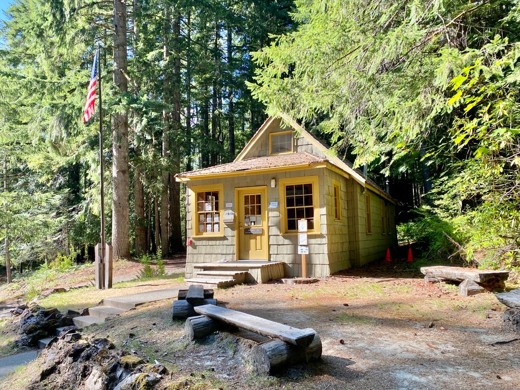
Route-wise, most hikers start near the Staircase Ranger Station/Campground, cross the river on a sturdy bridge, and follow the historic O’Neil Mule Trail. You’ll pass the Shady Lane junction and a short spur to a massive fallen western red cedar (don’t skip it). Upstream, the loop crosses a large suspension-style footbridge with sweeping river views, then returns along the opposite bank. Watch for a key junction around 0.8 miles—stay right to remain on the loop; left heads onto the rougher Four Stream Trail.
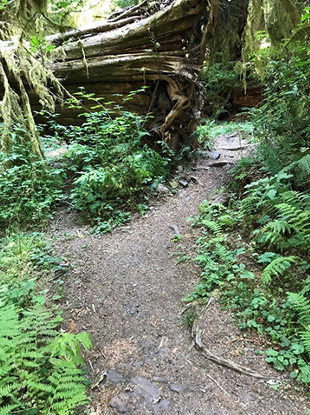
The draw here is variety without effort: old-growth Douglas-fir, western hemlock, red cedar, glossy ferns, nurse logs, and interpretive signs about the 1890 O’Neil expedition that helped set the stage for park protection. Broad gravel bars near the upper crossing are great for lingering when river levels are low and safe.
Crowds ebb and flow. It’s popular with families for good reason—easy grade, big payoffs—so aim for early mornings or weekdays if you want quieter vibes. Despite popularity, off-peak times can feel surprisingly peaceful.
Best time to hike: Spring through fall is prime for full foliage and easy access. It’s hikeable year‑round, but winter storms can close the access road; in that case you may need to park by the picnic area and add about a mile of walking. Rain is common—this is a rainforest—so bring a layer and shoes that handle mud.
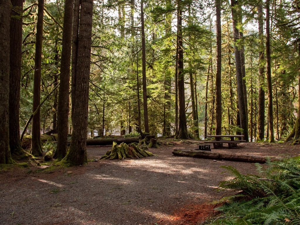
Logistics and tips: No dogs (park policy). Trailhead amenities include restrooms, water, picnic tables, and a nearby campground. Start clockwise, hit the cedar spur, and give yourself a few extra minutes to enjoy the riverbanks by the big footbridge. If you’re craving more solitude or challenge, tack on part of the Four Stream Trail from the junction, but know it’s rougher and not part of the loop.
Park at the Staircase Ranger Station lot by the campground at the end of the Lake Cushman road; restrooms, water, and picnic tables on site. In winter closures, you may need to park near the picnic area and walk an extra mile.
Stay right at ~0.8 mi to remain on the loop (left is Four Stream). Roots, slick rocks, and high river levels warrant care; check road/bridge status after storms.
Place · 0 mi away
Place · 0.1 mi away
Place · 0.1 mi away
Place · 1.9 mi away
Challenging · 0 mi away
Challenging · 0 mi away
Challenging · 0 mi away
Easy · 0 mi away

Parkwolf Tour Guide
