Parking
Start at the Lena Lake/Brothers Trailhead lot on Forest Road 25. The small surface lot holds about 30 vehicles; day use requires a valid U.S. Forest Service recreation pass.
Olympic National Park, WA
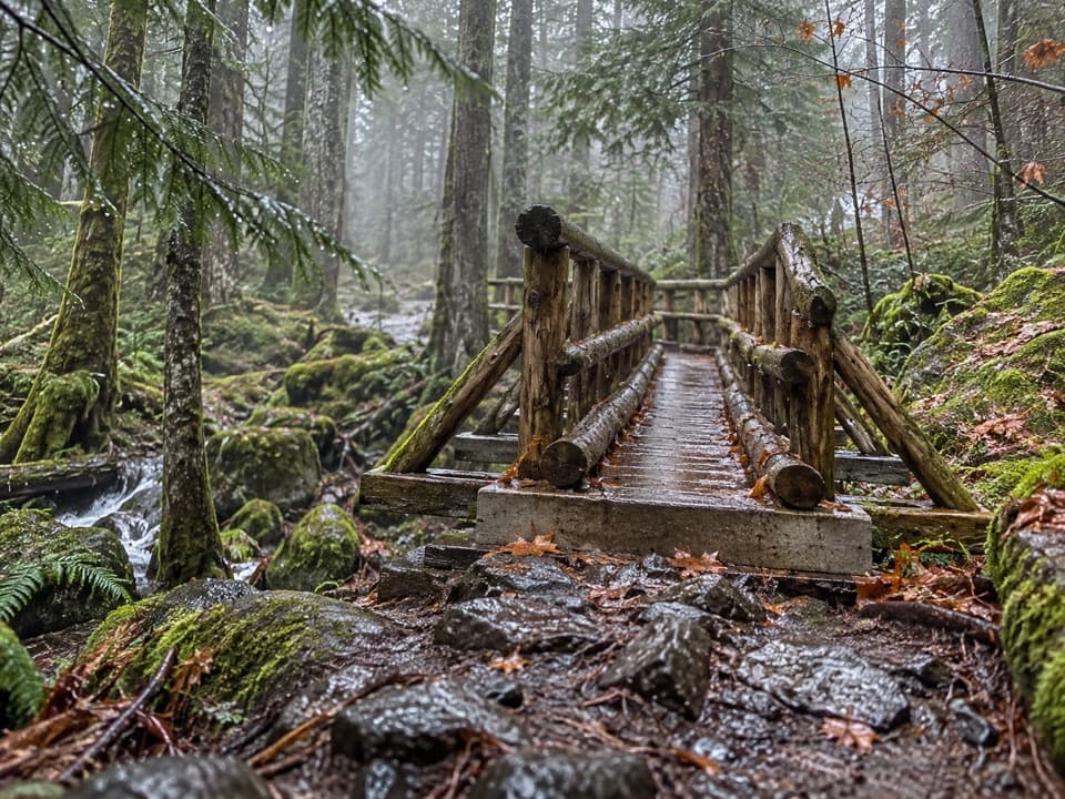
A long climb pays off at a green lake under alpine peaks.
Overview
Map & elevation
Plan your hike

The highest, rockiest slopes around here are a summer buffet for grizzly bears.
Olympic Tour Guide
Parkwolf is a GPS audio tour guide for Olympic National Park. As you drive, it chimes in with what’s ahead: hidden gems, upcoming stops, history, geology, and wildlife, right through your car’s speakers.
See the Olympic audio tour“Fantastic app with many points of information… It’s great to just turn on while you’re driving and it gives you an audio tour of the national Park. We love it!!!!”


Trail guide
Upper Lena Lake Trail is a hard, 14-mile round-trip out-and-back from Lena Lake/Brothers Trailhead, following Lena Lake Trail #810 to Lower Lena Lake before climbing a rougher #811 segment into a subalpine basin. Expect about 3,900 feet of gain and budget 9–11 hours. I’d choose it when the long climb itself is part of the plan. If Upper Lena is your goal, Lower Lena is only the halfway marker; the upper section is a different level of effort.
The first 3.5 miles follow long switchbacks through second-growth and older forest, with moderate grades and about 1,300 feet of climbing. This is the easier half, but it doesn’t prepare your legs for what comes next. Lower Lena Lake is a useful place to pause and decide whether you have the time and energy for another roughly four miles of steep trail. Turning back here makes a worthwhile, roughly 7-mile round trip of its own.
Above Lower Lena, the route gets steeper and less forgiving. About three-quarters of a mile past the lake, hikers have reported a faint social path continuing straight where the main route turns left. Watch for that turn and stay on the described main trail. A wrong line here can send you away from the route you came to hike.
Trail #811 climbs through roots, loose dirt and rock, with ladder-like root steps and short scrambles. Lena Creek is crossed on the way up; hikers describe slippery rocks at the crossing and a lower bypass that rejoins above. Wet footing makes the descent slower too, so don’t plan your return as if downhill will be the easy half. The route keeps gaining toward the upper basin rather than leveling out for a long walk beside the water.
The forest gives way to alpine meadows and a subalpine lake ringed by mountain peaks. The lake and its setting are the payoff for the long, rough climb. From shore, frame the green water with the surrounding peaks; they give the lake its scale. Campsites sit around the basin, but walking among them adds uneven ups and downs, so this isn’t a flat shoreline stroll. The trail ends at the lake and returns the same way; it does not make a loop.
The National Park Service lists early or mid-July through September as the best season, but snow can cover the high trail in any month. Snow travel may require map-and-compass navigation, an ice axe and self-arrest skills. The trail starts in Olympic National Forest, where day use requires a valid Forest Service recreation pass, then continues into Olympic National Park; dogs are prohibited on the park portion. Overnight stays at Upper Lena require a limited backcountry permit year-round, a bear canister for food, and no campfires. Treat water taken from Lena Creek or the lake.
Wildlife
 710 sightingsOlympic MarmotMost seen around 11 AMSighting map
 30 sightingsHumpback WhaleMost seen around 6 PMSighting map
 42 sightingsGrey WhaleMost seen around noonSighting map
 23 sightingsMountain LionMost seen around 8 PMSighting map
 71 sightingsMountain GoatMost seen around 7 AMSighting map
 306 sightingsBald EagleMost seen around 11 AMSighting map
Sighting maps show where each species has been reported across Olympic. Wildlife moves, so no sighting is guaranteed.
Keep exploring
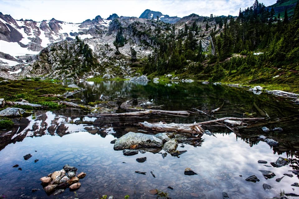 ChallengingPutvin Trail to Lake of the Angels6.7 mi · 7 hr · 4 mi awayA steep climb and headwall scramble lead to a true alpine lake.
 ChallengingHome Sweet Home Trail2.6 mi · 2.5 hr · 7.8 mi awayA steep backcountry link through a high meadow.
 ChallengingDuckabush River Trail to Five-Mile Camp10.6 mi · 6 hr · 7.9 mi awayA 10.6-mile out-and-back climbs Big Hump to Five-Mile Camp.
 ChallengingO'Neil Pass Trail12 mi · 10 hr · 8.7 mi awayO'Neil Pass links Upper Duckabush with East Fork Quinault.
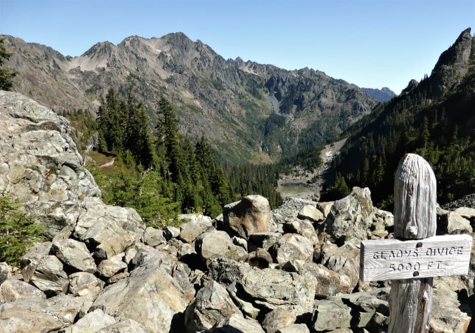 ChallengingGladys Divide Primitive Trail2.8 mi · 3 hr · 9.3 mi awayA steep primitive climb from Flapjack Lakes to a high divide.
 ChallengingBlack & White, Smith Lake Trail4.4 mi · 4.5 hr · 9.3 mi awayA rough climb over Black and White Lakes to Smith Lake.
 ChallengingConstance Pass Trail10.7 mi · 10 hr · 9.5 mi awayA demanding one-way traverse over Constance Pass to Home Lake.
 ChallengingMain Fork Dosewallips River Trail29.8 mi · 20 hr · 9.6 mi awayA river valley opens into meadows below a high pass.
Parkwolf’s Olympic ranking

The audio tour guide for the drive, plus offline maps, trails, and wildlife heatmaps for when the signal drops.