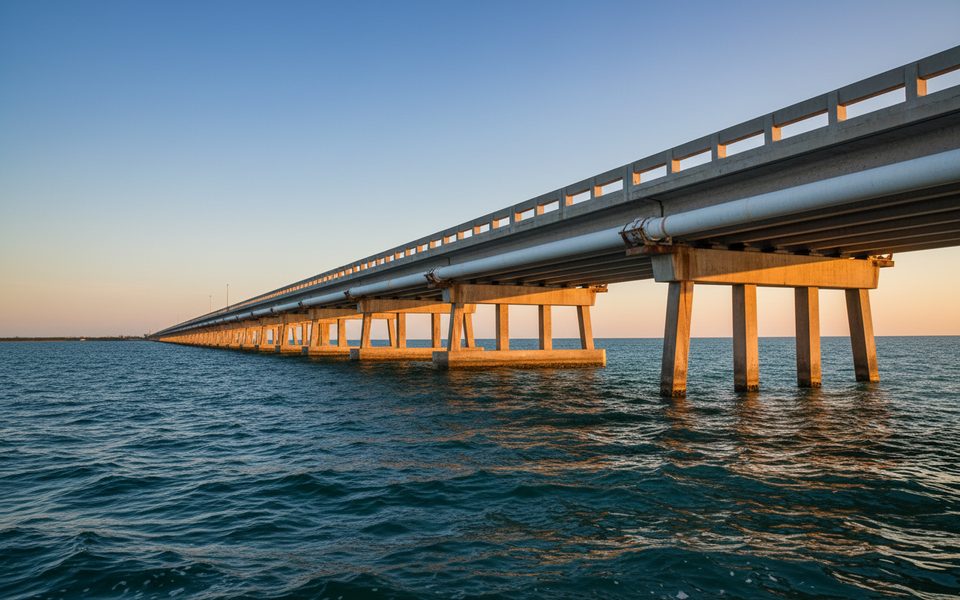
Boca Chica Channel Bridge

Wind‑swept span with views and dependable tarpon action
Boca Chica Channel Bridge, Overseas Highway
InsideOverseas Highway

Overview

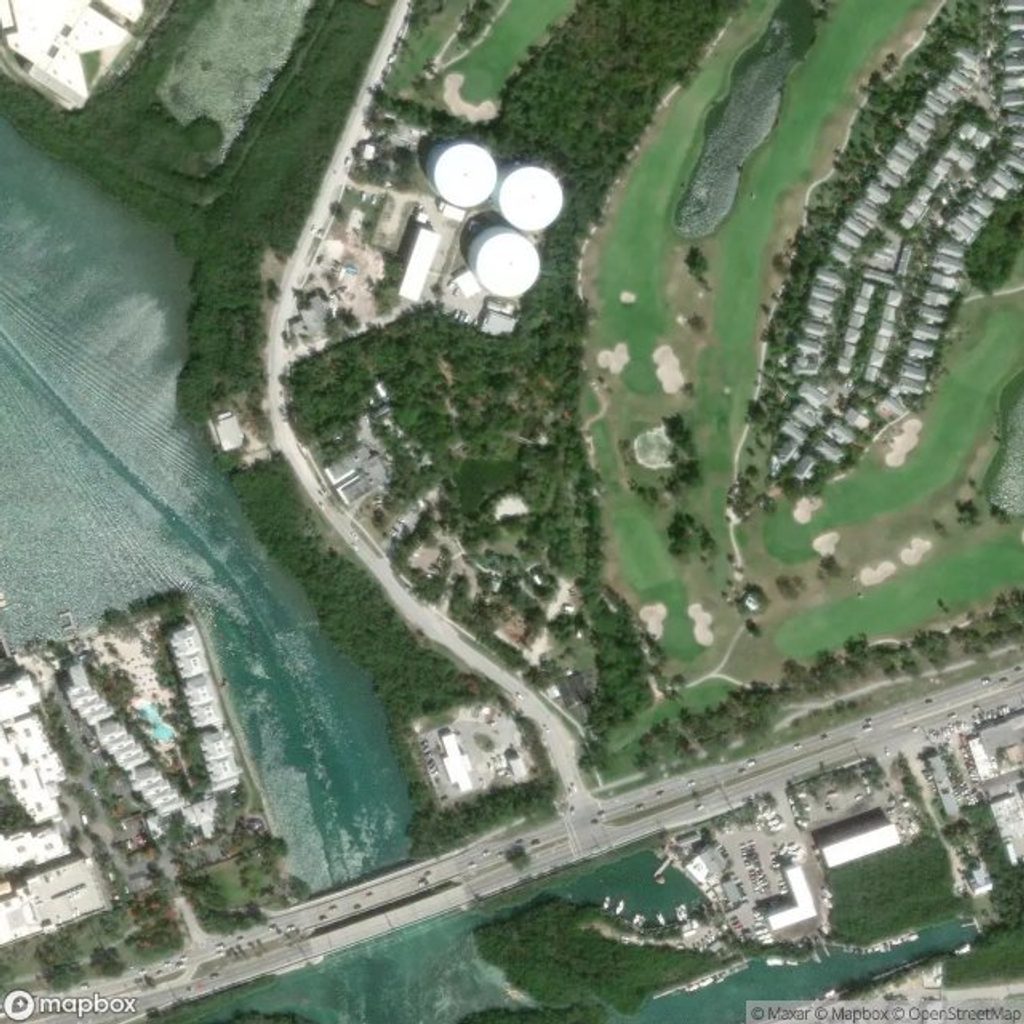
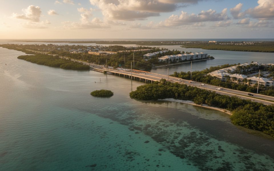
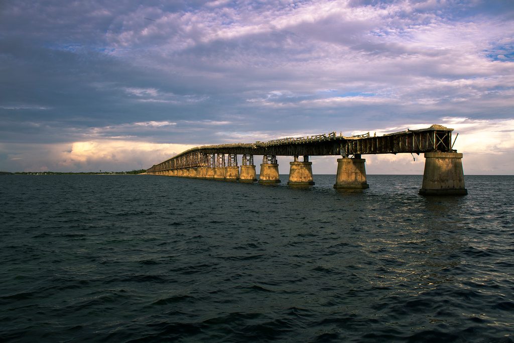
This is the Overseas Highway span at Mile Marker ~6.1, linking Stock Island to Boca Chica Key on the final approach to Key West. It sits beside Naval Air Station Key West, so expect a working‑waterway vibe more than a leisurely overlook.

What You’ll See

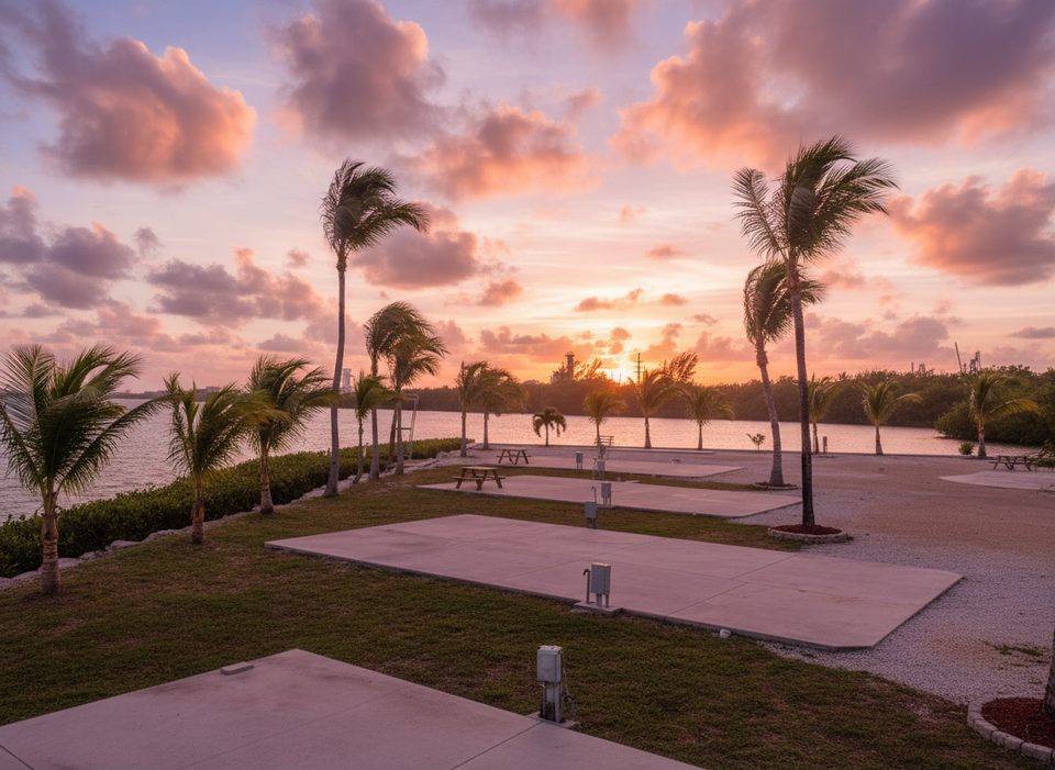
Broad water and mangrove views, with big sky color at the bookends of the day. Sunsets tend to glow to the west toward Key West; early light is nice over the Atlantic side. Roadside viewpoints are limited, so plan your photos from safe, legal spots off the highway.

On the Water (Boaters Read This)

  • Fixed‑span bridge with a listed closed‑vertical clearance of about 20 ft.
  • Overhead power cable crossing the channel has about 60 ft clearance.
  • Reported controlling depth in Boca Chica Channel is about 9 ft; it’s marked by lights and daybeacons.
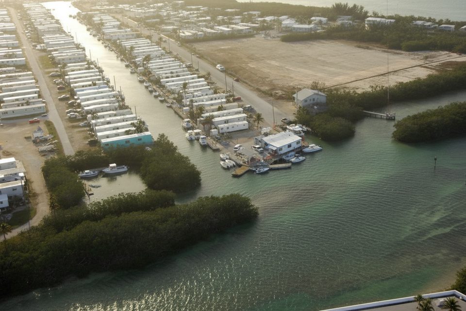
  • Expect strong tidal flow through the openings. Side channels (A and B) exist to the northwest and have had shallow spots historically.
  • A naval restricted area fronts parts of the NAS shoreline; obey limits and give way to commercial/USN traffic.

Fishing Notes

Local anglers target tarpon here, particularly at night when current stacks bait along the bridge cuts. Check tides and weather before committing—flow matters.

Access, Parking, and Practicalities

There’s no dedicated lot or facilities on the bridge. Small shoulder/gravel pull‑offs at both ends are used for short stops and kayak/SUP day launches—mind posted signs and don’t block traffic. Need a restroom? Head to Bernstein Park on Stock Island. For ramps and services, Stock Island has multiple marinas and a small public boat ramp; the Boca Chica marina ramp on base is restricted to eligible military/DoD users.

Wildlife

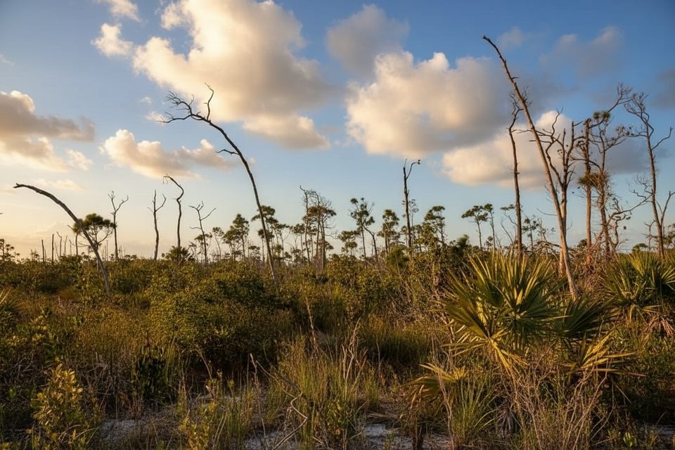
Watch for brown pelicans, cormorants, herons, and egrets working the mangroves and flats. Dolphins occasionally move through the channel, and manatees are possible around nearby marinas during cooler months—observe slow‑speed zones.

Best Time to Visit

  • Photographers: sunrise for calm light over the Atlantic side; sunset for warm color toward Key West.
  • Anglers: evenings into night on moving water.
  • Drivers: come early or between peaks to avoid traffic stress; the span is effectively 24/7.

Bottom Line

Not a linger-and-picnic kind of stop, but if you’re chasing tarpon, launching a paddle craft, or grabbing a quick panorama on the way into Key West, it’s a useful—and very Keys—slice of the highway.

Pros

  • Reliable tarpon bite around the bridge, especially after dark
  • Handy kayak/SUP day‑launch from either end

Cons

  • No dedicated parking or restrooms at the bridge
  • No pedestrian walkway; fast traffic and limited roadside space

Tips

  • For safer photos, park legally at Stock Island marinas and shoot across to the span.
  • If you need facilities, use Bernstein Park on Stock Island before stopping here.
  • Night fishing is popular—check tides and be prepared for strong current.
  • Launch kayaks/SUPs only where signed and never block the narrow shoulders.
  • Stay clear of NAS Key West restricted areas and yield to commercial/USN traffic.
The Parkwolf tour guide sitting on a phone mounted in a car

Parkwolf Tour Guide

Like a tour guide in your car.

Save the places you found around Overseas Highway, then let Parkwolf guide the drive between them.Download Parkwolf on the App Store